Wickham St. Paul

Civil Parish in Essex Braintree

England

Wickham St. Paul

All Saints church, Wickham St. Paul, Essex The church stands half a mile north of the village next to a farm. It has a lovely Tudor brick tower, built in 1505, and a nave that is 12th century. The chancel is the same height as the nave and was rebuilt in the 14th century. Inside is a fine chancel screen with much delicate tracery.
All Saints church, Wickham St. Paul, Essex Credit: Robert Edwards

Wickham St. Paul is a civil parish located in the county of Essex, England. Situated approximately 50 miles northeast of London, it is nestled in the heart of the picturesque countryside. The parish covers an area of around 6 square miles and is home to a small population of around 500 residents.

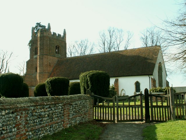
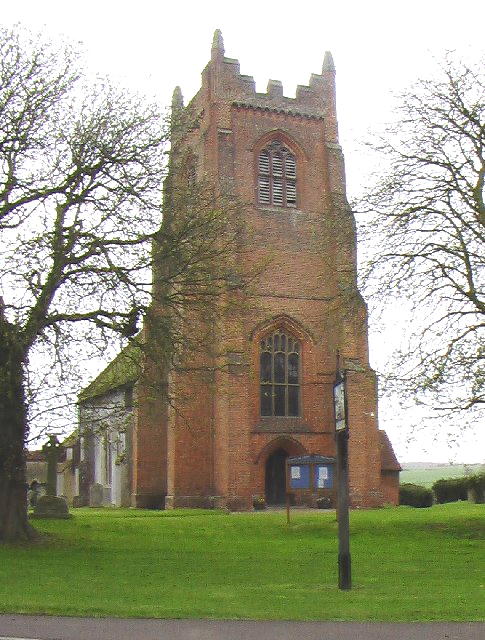
The village of Wickham St. Paul is known for its historic charm and rural beauty. It boasts a delightful mix of traditional thatched cottages, quaint village greens, and a 14th-century church, St. Paul's, which stands as a testament to its rich history. The church is a prominent feature of the parish and attracts visitors from far and wide.

The surrounding countryside offers ample opportunities for outdoor activities and exploration. The area is known for its rolling hills, meandering rivers, and lush woodlands, providing a perfect backdrop for hiking, cycling, and wildlife spotting. The Stour Valley Path, a long-distance footpath, passes through the parish, offering stunning views of the surrounding landscape.

Although small in size, Wickham St. Paul is a close-knit community with a strong sense of community spirit. The village hall serves as a hub for various social and recreational activities, including community events, clubs, and gatherings. The parish also has a primary school, providing education to the local children.

Overall, Wickham St. Paul offers a tranquil and idyllic setting for those seeking a peaceful village lifestyle surrounded by natural beauty. Its rich history, charming architecture, and welcoming community make it a hidden gem in the Essex countryside.

If you have any feedback on the listing, please let us know in the comments section below.

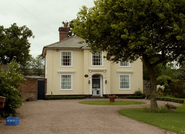
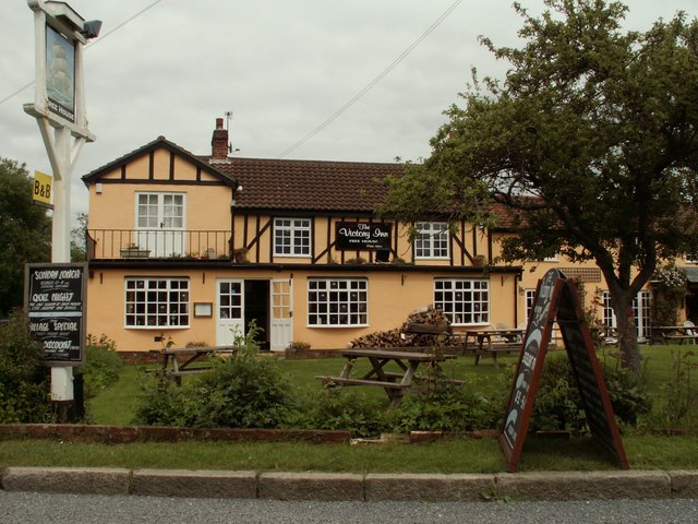
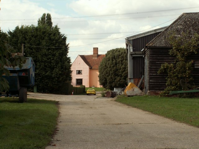
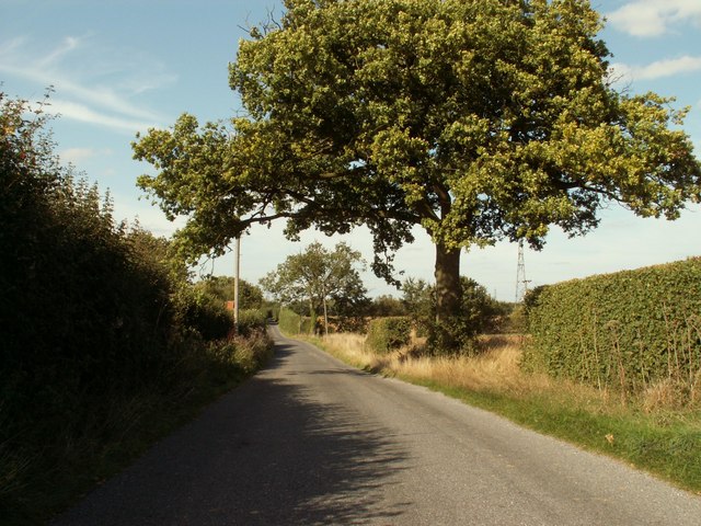
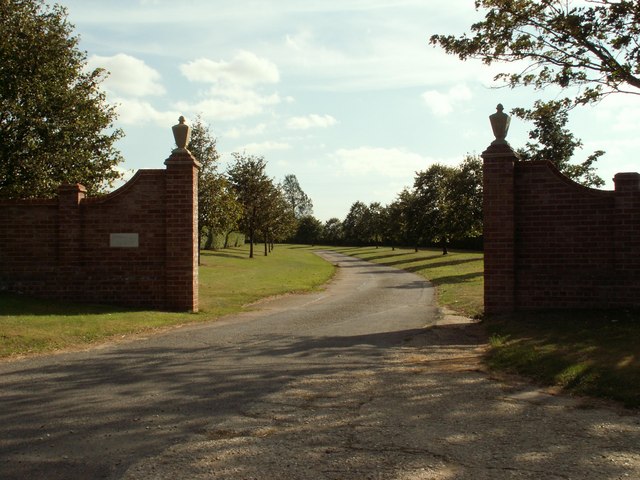
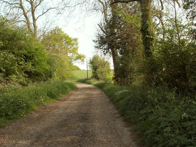
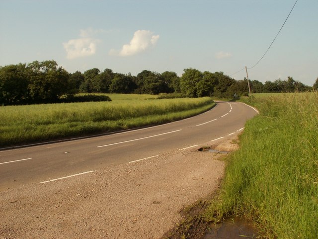
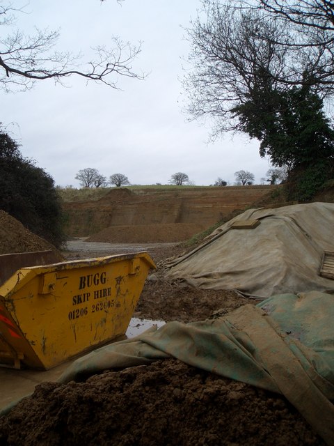
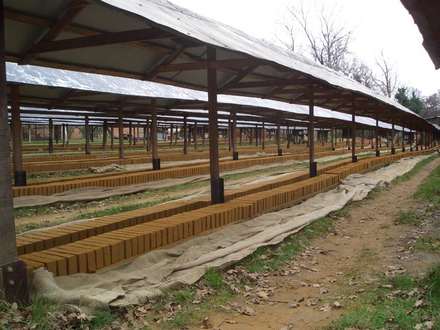
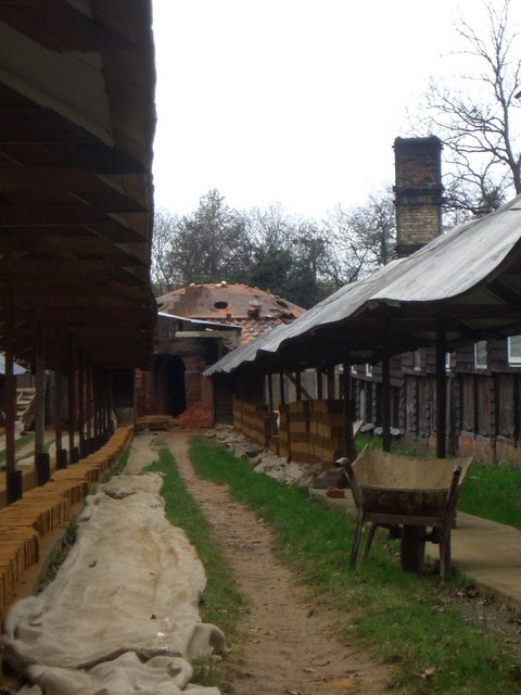
Wickham St. Paul Images

Images are sourced within 2km of 51.997909/0.666592 or Grid Reference TL8336. Thanks to Geograph Open Source API. All images are credited.

All Saints church, Wickham St. Paul, Essex The church stands half a mile north of the village next to a farm. It has a lovely Tudor brick tower, built in 1505, and a nave that is 12th century. The chancel is the same height as the nave and was rebuilt in the 14th century. Inside is a fine chancel screen with much delicate tracery.
All Saints church, Wickham St. Paul, Essex
The church stands half a mile north of the village next to a farm. It has a lovely Tudor brick tower, built in 1505, and a nave that is 12th century. The chancel is the same height as the nave and was rebuilt in the 14th century. Inside is a fine chancel screen with much delicate tracery.
Farmhouse at Park Farm, Wickham St. Paul, Essex
'The Victory Inn', Wickham St. Paul, Essex This inn stands in the centre of the village, opposite a large village green.
'The Victory Inn', Wickham St. Paul, Essex
This inn stands in the centre of the village, opposite a large village green.
Twinstead village sign, Essex This sign actually stands at Twinstead Green.
Twinstead village sign, Essex
This sign actually stands at Twinstead Green.
Moat Farm, Gestingthorpe, Essex The farm once had a moat around it and part of it still exists.
Moat Farm, Gestingthorpe, Essex
The farm once had a moat around it and part of it still exists.
Road to Gestingthorpe from Little Maplestead, Essex
Entrance to Stones Farm, Wickham St Paul, Essex
Catley Cross Farm, southeast of Wickham St. Paul, Essex
Part of Bulmer Brick & Tile Co. This company is located in the grounds of Hole Farm.
Part of Bulmer Brick & Tile Co.
This company is located in the grounds of Hole Farm.
Bridleway and road to Butler's Hall Farm
The B1058, Hedingham Road
Claypit at Bulmer Brick and Tile Works A view towards the working face of the claypit at this traditional brickworks, in use, on and off, since the 15th century.
Claypit at Bulmer Brick and Tile Works
A view towards the working face of the claypit at this traditional brickworks, in use, on and off, since the 15th century.
Freshly Moulded Bricks Wet clay bricks (between 700 and a thousand per man, per day) are laid out to dry under these long canopies before being fired. Drying takes place indoors in the winter. The Bulmer Brick and Tile Works is one of the last to use traditional hand craft on this scale.
Freshly Moulded Bricks
Wet clay bricks (between 700 and a thousand per man, per day) are laid out to dry under these long canopies before being fired. Drying takes place indoors in the winter. The Bulmer Brick and Tile Works is one of the last to use traditional hand craft on this scale.
Bulmer Brick and Tile Works Looking along the drying rows towards one of the two coal-fired kilns, built in the 1930s and still in use. Bulmer is one of the last companies making bricks in this traditional way, and their products have been used on many restoration projects around Britain.
Bulmer Brick and Tile Works
Looking along the drying rows towards one of the two coal-fired kilns, built in the 1930s and still in use. Bulmer is one of the last companies making bricks in this traditional way, and their products have been used on many restoration projects around Britain.
Kiln at the Bulmer Brick and Tile Works The older, 1930s kiln at the Bulmer Brick and Tile Works, with the end of the wet-brick drying rows in the foreground.
Kiln at the Bulmer Brick and Tile Works
The older, 1930s kiln at the Bulmer Brick and Tile Works, with the end of the wet-brick drying rows in the foreground.
Bulmer Brick and Tile Works The 1930s coal-fired kiln on the left, with the drying sheds to the right and the end product stacked in the foreground.
Bulmer Brick and Tile Works
The 1930s coal-fired kiln on the left, with the drying sheds to the right and the end product stacked in the foreground.
Bulmer Brick and Tile Works The more "modern" kiln, cooling down after a three-day firing. The chimney of the older kiln, finished in 1939, is just visible on the right.
Bulmer Brick and Tile Works
The more "modern" kiln, cooling down after a three-day firing. The chimney of the older kiln, finished in 1939, is just visible on the right.
Moulded and Decorative Bricks Some of the fancier type of products manufactured at the Bulmer Brick and Tile Works, in one of their stores. Examples can be found on old and new buildings up and down the country.
Moulded and Decorative Bricks
Some of the fancier type of products manufactured at the Bulmer Brick and Tile Works, in one of their stores. Examples can be found on old and new buildings up and down the country.
Show me another place!

Wickham St. Paul is located at Grid Ref: TL8336 (Lat: 51.997909, Lng: 0.666592)

Administrative County: Essex

District: Braintree

Police Authority: Essex

What 3 Words

///handover.junction.possible. Near Castle Hedingham, Essex

Related Wikis

Wickham St. Paul

Wickham St Paul is a village and civil parish located five miles north of Halstead in the district of Braintree, Essex. The village, in which some of the...

Belchamp Rural District

Belchamp was a rural district in Essex in England. It was formed under the Local Government Act 1894 from that part of the Sudbury rural sanitary district...

Gestingthorpe

Gestingthorpe (pronounced GEST-ing-thorp, 'guesstingthorpe') is a village and a civil parish in the Braintree district, in the English county of Essex...

Little Maplestead

Little Maplestead is a village and civil parish in the Braintree district of Essex, England. == Amenities == Little Maplestead once had a Knights Hospitaller...

Nearby Amenities

Located within 500m of 51.997909,0.666592
Wickham St Paul
Created By: Potlatch 0.10c
Is In: Essex
Place: village
Lat/Long: 51.9950363/0.6657647
Post Box
Operator: Royal Mail
Ref: CO9 71
Source: gps survey
Lat/Long: 51.9990031/0.6653398
Telephone
Booth: K6
Covered: booth
Listed Status: Grade II
Operator: British Telecom
Payment Credit Cards: yes
Payment Debit Cards: yes
Payment Electronic Purses: yes
Payment Telephone Cards: yes
Phone: +44 1787 262234
Source: gps
Lat/Long: 51.9947626/0.6666626
Post Box
Operator: Royal Mail
Post Box Mounting: brick_pillar
Post Box Type: wall
Ref: CO9 32
Lat/Long: 51.9956228/0.6664544
Church Road
Naptan AtcoCode: 150024014009
Naptan Bearing: N
Naptan BusStopType: CUS
Naptan CommonName: Church Road
Naptan Crossing: School Road
Naptan Indicator: N-bound
Naptan Landmark: Church Road
Naptan NaptanCode: esxdjdjp
Naptan Street: Church Road
Naptan Verified: no
Public Transport: platform
Source: naptan_import
Lat/Long: 51.9981917/0.6648486
Rectory Lane
Naptan AtcoCode: 150024014010
Naptan Bearing: NW
Naptan BusStopType: CUS
Naptan CommonName: Rectory Lane North
Naptan Crossing: Rectory Lane North
Naptan Indicator: Adj
Naptan Landmark: Rectory Lane North
Naptan NaptanCode: esxdjdjt
Naptan Street: Church Road
Naptan Verified: no
Public Transport: platform
Source: naptan_import
Lat/Long: 51.9996318/0.6640017
Bullocks Hall Farm
Naptan AtcoCode: 150024014011
Naptan Bearing: NW
Naptan BusStopType: CUS
Naptan CommonName: Rectory Lane South
Naptan Crossing: Rectory Lane South
Naptan Indicator: Adj
Naptan Landmark: Rectory Lane South
Naptan NaptanCode: esxdjdjw
Naptan Street: Church Road
Naptan Verified: no
Public Transport: platform
Source: naptan_import
Lat/Long: 52.000661/0.6626349
Rectory Lane
Naptan AtcoCode: 1500240140Y0
Naptan Bearing: SE
Naptan BusStopType: CUS
Naptan CommonName: Rectory Lane North
Naptan Crossing: Rectory Lane North
Naptan Indicator: Opp
Naptan Landmark: Rectory Lane
Naptan NaptanCode: esxgpatp
Naptan Street: Church Road
Naptan Verified: no
Public Transport: platform
Source: naptan_import
Lat/Long: 51.9996754/0.6640625
Bullocks Hall Farm
Naptan AtcoCode: 1500240140Y1
Naptan Bearing: SE
Naptan BusStopType: CUS
Naptan CommonName: Rectory Lane South
Naptan Crossing: Rectory Lane South
Naptan Indicator: Opp
Naptan Landmark: Rectory Lane South
Naptan NaptanCode: esxgpatm
Naptan Street: Church Road
Naptan Verified: no
Public Transport: platform
Source: naptan_import
Lat/Long: 52.0006493/0.6627508
Church Road
Naptan AtcoCode: 1500240140Y9
Naptan Bearing: S
Naptan BusStopType: CUS
Naptan CommonName: Church Road
Naptan Crossing: School Road
Naptan Indicator: S-bound
Naptan Landmark: Church Road
Naptan NaptanCode: esxgtapd
Naptan Street: Church Road
Naptan Verified: no
Public Transport: platform
Source: naptan_import
Lat/Long: 51.9982256/0.664938
The Victory
Naptan AtcoCode: 1500IM708
Naptan Bearing: N
Naptan BusStopType: CUS
Naptan CommonName: The Victory
Naptan Indicator: Opp
Naptan Landmark: The Victory
Naptan NaptanCode: esxdjdjm
Naptan Street: Church Road
Naptan Verified: no
Public Transport: platform
Source: naptan_import
Lat/Long: 51.9960604/0.6660332
The Victory
Naptan AtcoCode: 1500IM708B
Naptan Bearing: N
Naptan BusStopType: CUS
Naptan CommonName: The Victory
Naptan Indicator: o/s
Naptan Landmark: The Victory
Naptan NaptanCode: esxadwtd
Naptan Street: Church Road
Naptan Verified: no
Public Transport: platform
Source: naptan_import
Lat/Long: 51.996233/0.665956
Post Office
Wickham St Paul Post Office
Addr Postcode: CO9 2PT
Branch: Wickham St Paul
Brand: Post Office
Brand Wikidata: Q1783168
Check Date: 2020-02-20
Contact Website: https://www.postoffice.co.uk/branch-finder/183116x/wickham-st-paul
Ref Pol Id: 5507
Lat/Long: 51.9957502/0.6666304
Power: tower
Lat/Long: 52.0011908/0.6661504
Bench
Lat/Long: 51.9961668/0.6656384
Playground: swing
Lat/Long: 51.9945965/0.6647929
Information: guidepost
Tourism: information
Lat/Long: 51.9947461/0.6670275
Shelter
Shelter Type: public_transport
Lat/Long: 51.9960362/0.6659497
Defibrillator
Access: yes
Defibrillator Location: outside The Victory pub in Wickham St Paul
Emergency: defibrillator
Indoor: no
Lat/Long: 51.9962098/0.6662715
The data included in this document is from www.openstreetmap.org. The data is made available under ODbL.

Have you been to Wickham St. Paul?

Leave your review of Wickham St. Paul below (or comments, questions and feedback).