Wickersley

Civil Parish in Yorkshire Rotherham

England

Wickersley

Aeon Court, Main Street, Bramley
Aeon Court, Main Street, Bramley Credit: Graham Hogg

Wickersley is a civil parish located in the Metropolitan Borough of Rotherham, South Yorkshire, England. Situated approximately four miles northeast of Rotherham town centre, it is a predominantly residential area with a population of around 11,000 people.

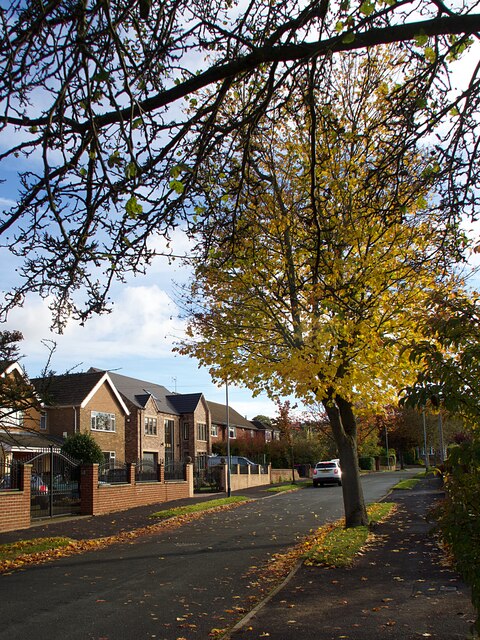
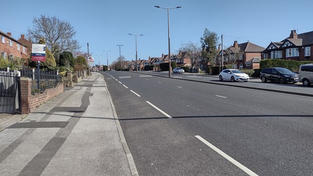
The parish is known for its attractive suburban environment, characterized by tree-lined streets and well-maintained houses. It offers a mix of modern housing developments and older properties, providing a range of options for residents.

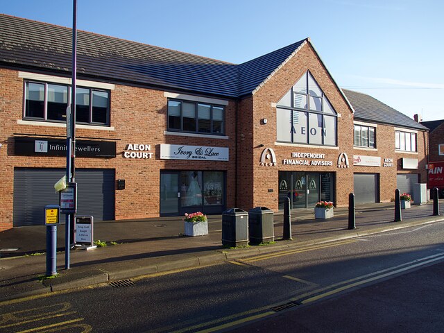
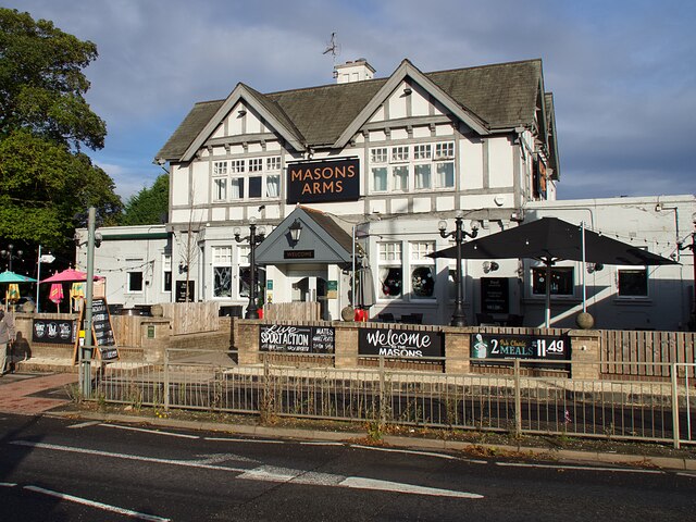
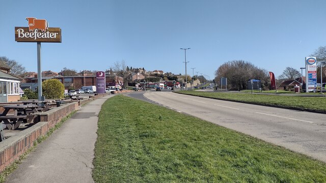
Wickersley is well-served by amenities and facilities, including several primary schools, a secondary school, and a college. There are also various shops, supermarkets, and local businesses, ensuring that residents have access to essential services and goods.

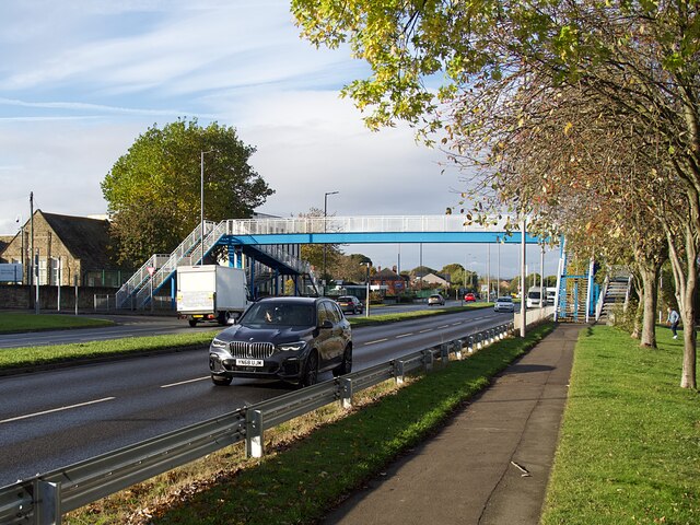
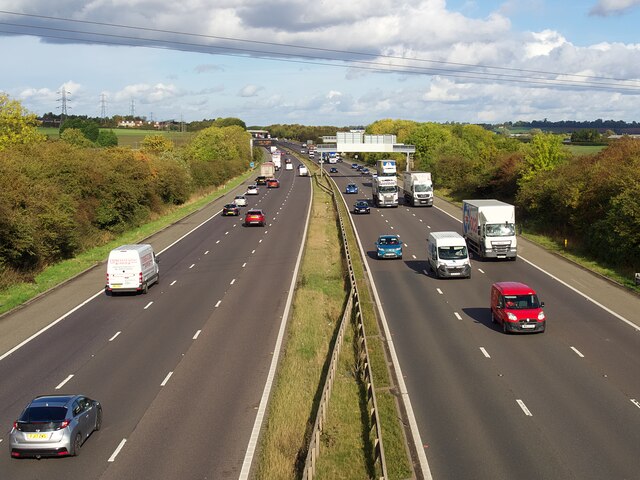
The area benefits from excellent transport links, with easy access to the M18 motorway and nearby train stations, such as Rotherham Central and Meadowhall Interchange. This allows for convenient travel to surrounding towns and cities, such as Sheffield and Doncaster.

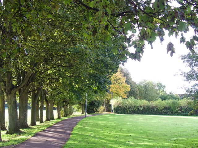
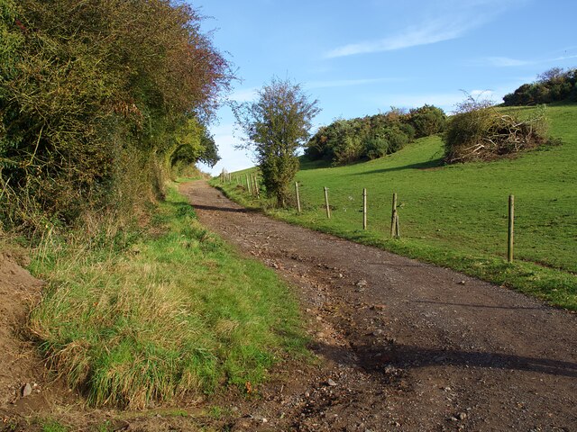
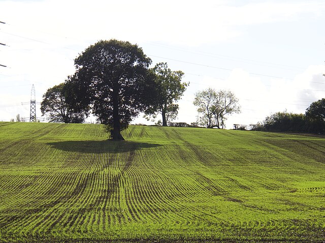
Wickersley is also home to several green spaces, including Wickersley Park and Wickersley Woods, providing opportunities for outdoor activities and recreation. These natural areas contribute to the overall appeal of the parish, offering a peaceful retreat from the hustle and bustle of urban life.

Overall, Wickersley is a desirable place to live, offering a pleasant suburban environment, a range of amenities, good transport links, and access to green spaces. Its convenient location, within close proximity to larger urban areas, makes it an attractive choice for commuters and families alike.

If you have any feedback on the listing, please let us know in the comments section below.
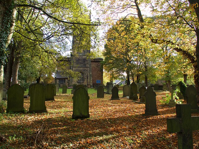
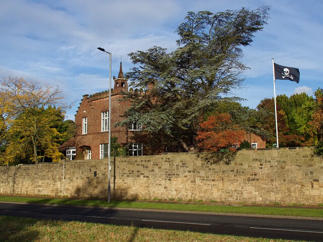
Wickersley Images

Images are sourced within 2km of 53.412668/-1.285286 or Grid Reference SK4790. Thanks to Geograph Open Source API. All images are credited.

Aeon Court, Main Street, Bramley
Footbridge over A631 Bawtry Road Providing safe access over a busy dual carriageway road to Wickersley School and Sports College
Footbridge over A631 Bawtry Road
Providing safe access over a busy dual carriageway road to Wickersley School and Sports College
Wickersley Park A small suburban park & recreation ground.
Wickersley Park
A small suburban park & recreation ground.
The Masons Arms Judging by the window decorations on entry you should turn left for Halloween and right for Christmas!
The Masons Arms
Judging by the window decorations on entry you should turn left for Halloween and right for Christmas!
St Alban's churchyard Grade II listed parish church dating from the 15th century.
St Alban's churchyard
Grade II listed parish church dating from the 15th century.
Castle House, Bawtry Road Flying a skull & crossbones flag for some reason.
Castle House, Bawtry Road
Flying a skull & crossbones flag for some reason.
Autumnal tree on Moorlands
Road markings on Royds Moor Hill Warning drivers approaching Whiston of the sharp bend ahead.
Road markings on Royds Moor Hill
Warning drivers approaching Whiston of the sharp bend ahead.
Sandy Flat Lane A steep climb out of the Pinch Mill Valley
Sandy Flat Lane
A steep climb out of the Pinch Mill Valley
Solitary tree in a newly sown field
The M18 Motorway near Junction 1 Looking north from a footbridge
The M18 Motorway near Junction 1
Looking north from a footbridge
East Bawtry Road East Bawtry Road heading up to the Wickersley Road roundabout
East Bawtry Road
East Bawtry Road heading up to the Wickersley Road roundabout
East Bawtry Road East Bawtry Road passing The Brecks Beefeater
East Bawtry Road
East Bawtry Road passing The Brecks Beefeater
M18 M1 Intersection This is the point where the M18 ends if you are heading south and begins if you are heading north.  The lanes to the left merge into the M1 on very long slip roads.
M18 M1 Intersection
This is the point where the M18 ends if you are heading south and begins if you are heading north. The lanes to the left merge into the M1 on very long slip roads.
Footpath To Morthen Although well marked across the field the access to this footpath is made somewhat difficult by the overgrown hedge.  Even the sign is having to compete for attention with the tree.
Footpath To Morthen
Although well marked across the field the access to this footpath is made somewhat difficult by the overgrown hedge. Even the sign is having to compete for attention with the tree.
M18 motorway bridge over M1 The M18 joins the northbound M1 soon after this point.
M18 motorway bridge over M1
The M18 joins the northbound M1 soon after this point.
Underpass to M18 M1 link road
Footpath adjacent to the M18 M1 link road
Show me another place!

Wickersley is located at Grid Ref: SK4790 (Lat: 53.412668, Lng: -1.285286)

Division: West Riding

Administrative County: South Yorkshire

District: Rotherham

Police Authority: South Yorkshire

What 3 Words

///cackling.awkward.saved. Near Bramley, South Yorkshire

Nearby Locations

Liner Wood Wickersley

Related Wikis

Wickersley

Wickersley is a village and civil parish in the Metropolitan Borough of Rotherham in South Yorkshire, England, situated 3 miles (5 km) from the centre...

Wickersley School and Sports College

Wickersley School and Sports College is a coeducational secondary school and sixth form with academy status, located in Wickersley in the Metropolitan...

Brecks

Brecks is a suburb of Rotherham in South Yorkshire, England. It is situated roughly 2 miles from central Rotherham. Brecks borders the suburb Wickersley...

Bramley, Rotherham

Bramley is a village and civil parish of the Metropolitan Borough of Rotherham in South Yorkshire, England. The village is situated approximately 4 miles...

Nearby Amenities

Located within 500m of 53.412668,-1.285286
Barrier: kissing_gate
Lat/Long: 53.4114611/-1.2806902
Barrier: cycle_barrier
Lat/Long: 53.4157617/-1.2822385
Leisure: playground
Lat/Long: 53.4156965/-1.2862292
Defibrillator
Access: yes
Check Date: 2023-03-09
Defibrillator Location: On outside wall. Available 24/7.
Emergency: defibrillator
Indoor: no
Opening Hours: 24/7
Lat/Long: 53.4158121/-1.2859007
Post Box
Collection Times: Mo-Fr 09:00; Sa 07:00
Post Box Type: lamp
Ref: S66 446
Royal Cypher: EIIR
Royal Cypher Wikidata: Q33102113
Lat/Long: 53.4161714/-1.2842813
Bench
Backrest: yes
Lat/Long: 53.4158059/-1.2860509
Barrier: stile
Lat/Long: 53.4094857/-1.28346
Barrier: horse_stile
Lat/Long: 53.4115211/-1.280624
The data included in this document is from www.openstreetmap.org. The data is made available under ODbL.

Have you been to Wickersley?

Leave your review of Wickersley below (or comments, questions and feedback).