Buckton

Settlement in Herefordshire

England

Buckton

Ancient  yew hedge around Brampton Bryan Church The ancient yew hedge around St Barnabas's Church Brampton Bryan
Ancient yew hedge around Brampton Bryan Church Credit: Raymond Perry

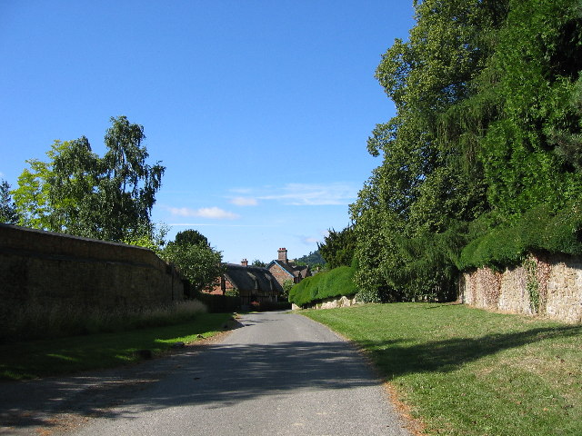
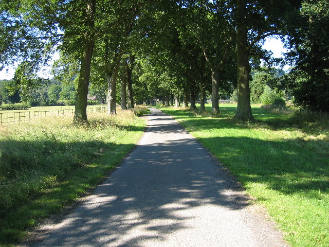
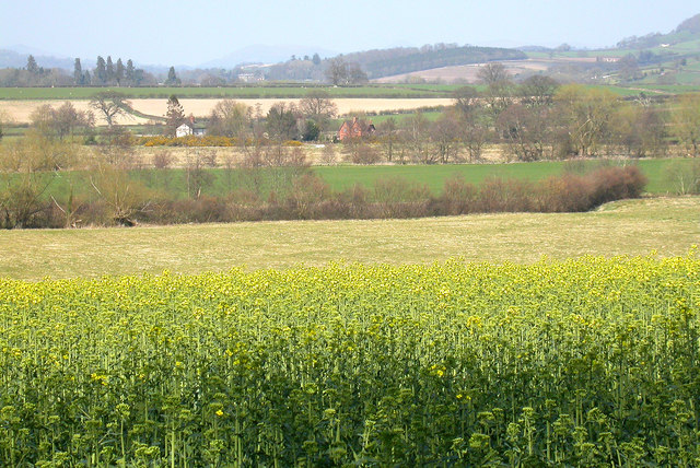
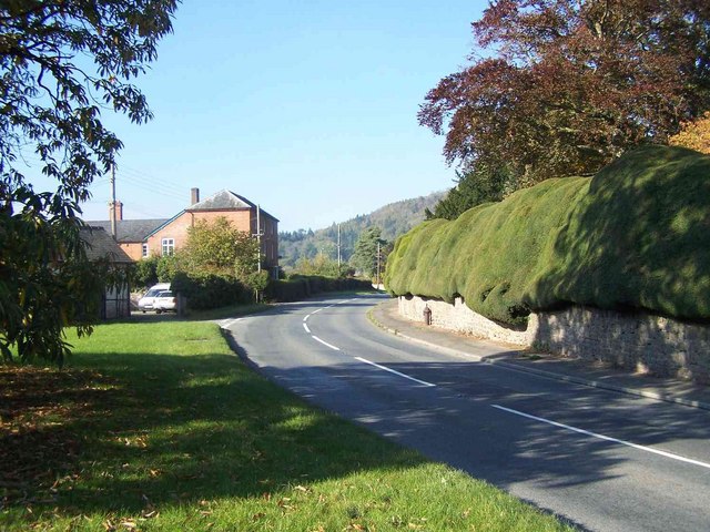
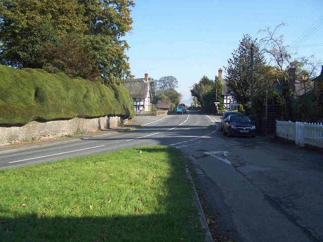
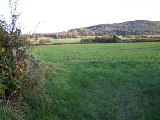
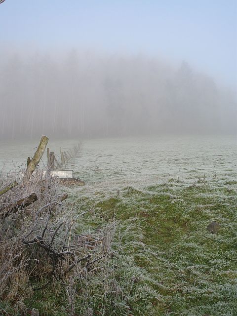
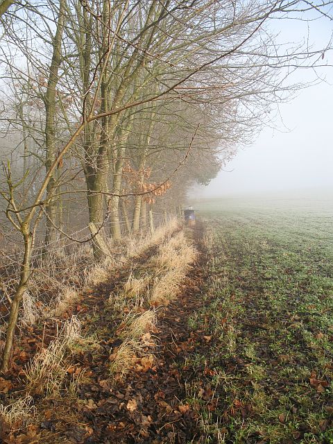
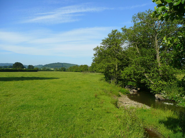
Buckton is a small village located in Herefordshire, England. It is situated in the picturesque countryside, surrounded by rolling hills and lush farmland. The village has a population of around 300 residents and is known for its peaceful and idyllic setting.

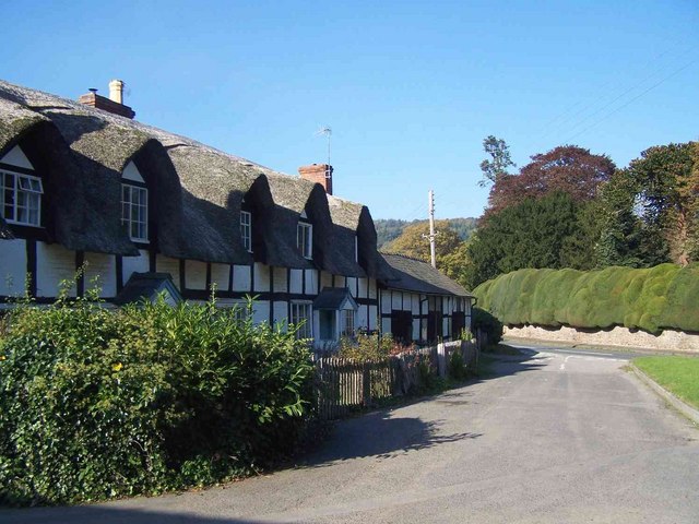
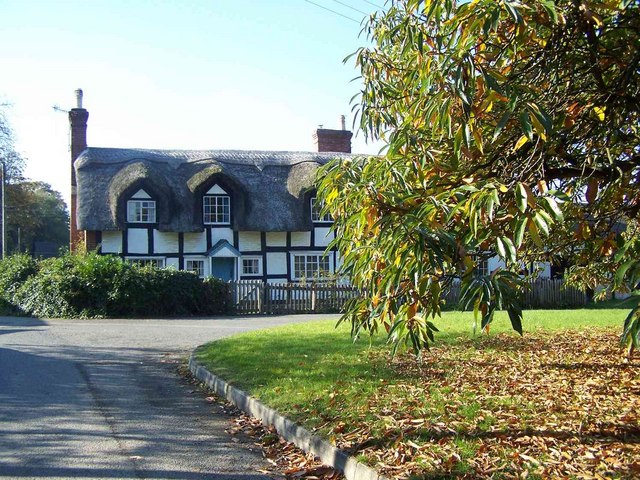
Buckton has a rich history, with some buildings dating back to the medieval period. The village has a traditional village green, a historic church, and a local pub that serves as a popular gathering spot for residents and visitors alike.

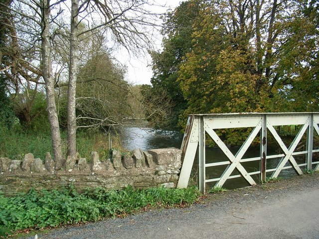
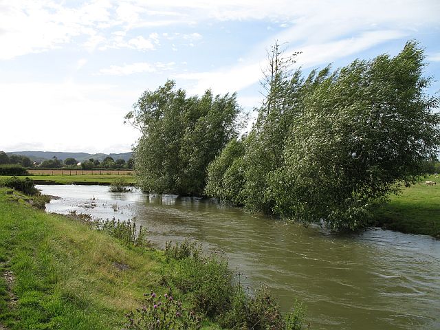
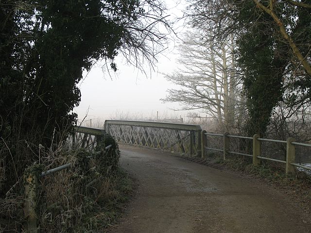
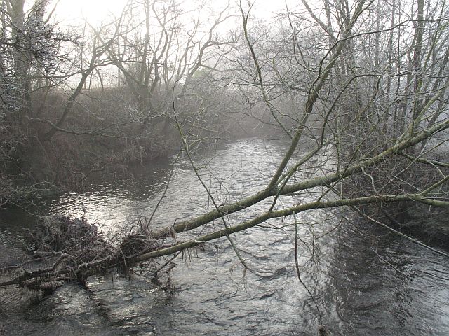
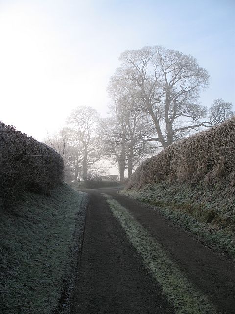
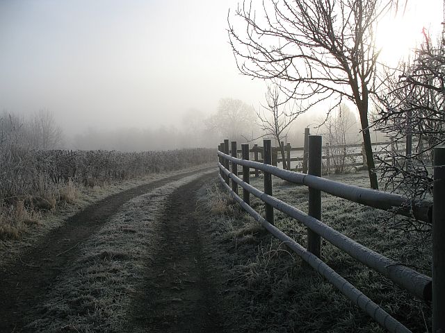
The village is a popular destination for outdoor enthusiasts, with numerous walking and cycling trails in the surrounding area. The nearby River Wye offers opportunities for fishing and boating, while the Herefordshire countryside provides a peaceful retreat for those looking to escape the hustle and bustle of city life.

Overall, Buckton is a charming and quaint village that offers a taste of rural English life. Its tranquil setting, friendly community, and stunning natural beauty make it a hidden gem in Herefordshire.

If you have any feedback on the listing, please let us know in the comments section below.
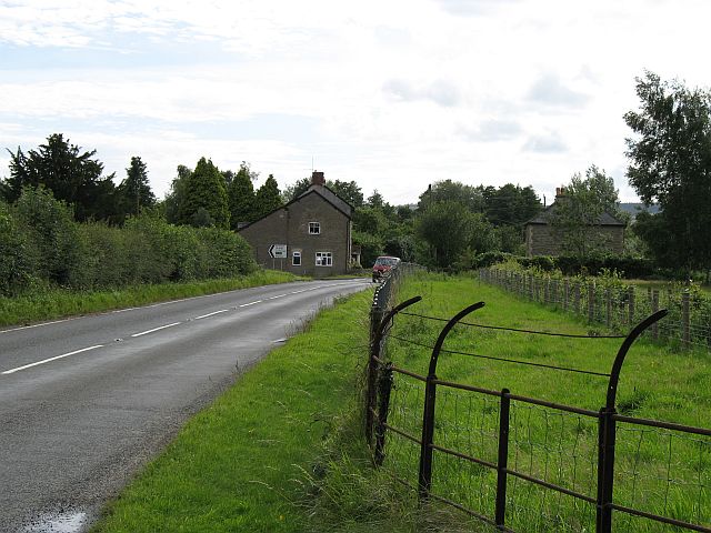
Buckton Images

Images are sourced within 2km of 52.354838/-2.9055064 or Grid Reference SO3873. Thanks to Geograph Open Source API. All images are credited.

Ancient  yew hedge around Brampton Bryan Church The ancient yew hedge around St Barnabas's Church Brampton Bryan
Ancient yew hedge around Brampton Bryan Church
The ancient yew hedge around St Barnabas's Church Brampton Bryan
Brampton Bryan Park Avenue at Brampton Bryan Park. This photo taken heading south along the Herefordshire Trail
Brampton Bryan Park
Avenue at Brampton Bryan Park. This photo taken heading south along the Herefordshire Trail
Buckton Bridge & River Teme
Overlooking Adleymoor Common One of the few remaining commons in Herefordshire, as seen from the South (The Post Field)
Overlooking Adleymoor Common
One of the few remaining commons in Herefordshire, as seen from the South (The Post Field)
Point-to-point racing, Brampton Bryan The race to the line !
Point-to-point racing, Brampton Bryan
The race to the line !
Walford The northernmost of Herefordshire's two Walfords. Looking along the Ludlow - Knighton road towards the crossroads.
Walford
The northernmost of Herefordshire's two Walfords. Looking along the Ludlow - Knighton road towards the crossroads.
River Teme This river flooded disastrously twice in the 2007 Summer. Still feeding a lot of water into the Severn system. Just upstream of Leintwardine and its confluence with the Clun.
River Teme
This river flooded disastrously twice in the 2007 Summer. Still feeding a lot of water into the Severn system. Just upstream of Leintwardine and its confluence with the Clun.
Cottages, Brampton Bryan
Brampton Bryan Looking West
Brampton Bryan Looking East
Near Walford
Near Walford
Jay Bridge These bridges are very common in the north of Herefordshire. The biggest at Bucknell has been replaced, but smaller roads still cross the Clun (here) and Teme by green girders.
Jay Bridge
These bridges are very common in the north of Herefordshire. The biggest at Bucknell has been replaced, but smaller roads still cross the Clun (here) and Teme by green girders.
River Clun Looking downstream from Jay Bridge.
River Clun
Looking downstream from Jay Bridge.
Edge of the fog, Jay Taken right in the corner - sadly others taken further in were unsuccessful. Trees at Jay on a foggy day.

NB This was taken within SO3874 according to GPS readings - but the GPS was wrong according to aerials and large scale maps.
Edge of the fog, Jay
Taken right in the corner - sadly others taken further in were unsuccessful. Trees at Jay on a foggy day. NB This was taken within SO3874 according to GPS readings - but the GPS was wrong according to aerials and large scale maps.
Track, Jay Farm track taken from an exact corner of the square. The 1:25000 map suggests that a grid line runs down the middle of the track.
Track, Jay
Farm track taken from an exact corner of the square. The 1:25000 map suggests that a grid line runs down the middle of the track.
Below Coxall Knoll Grazing land with a galvanised drinking trough. The Coxall Knoll woods can just be seen through the fog.
Below Coxall Knoll
Grazing land with a galvanised drinking trough. The Coxall Knoll woods can just be seen through the fog.
Pheasant feeder, Buckton The oak wood has yet to make it to the maps, but it surrounds a pond which is shown at 1:25000.
Pheasant feeder, Buckton
The oak wood has yet to make it to the maps, but it surrounds a pond which is shown at 1:25000.
Show me another place!

Buckton is located at Grid Ref: SO3873 (Lat: 52.354838, Lng: -2.9055064)

Unitary Authority: County of Herefordshire

Police Authority: West Mercia

What 3 Words

///churn.tolerates.latched. Near Bucknell, Shropshire

Nearby Locations

Buckton and Coxall Buckton

Related Wikis

Buckton Roman Fort

Buckton Roman Fort is an archaeological site at Buckton, about 1 mile south-west of Leintwardine, in Herefordshire. England. it is a scheduled monument...

Buckton and Coxall

Buckton and Coxall is a civil parish in north Herefordshire, England. Buckton and Coxall are hamlets in the parish. Coxall has a Baptist chapel situated...

Walford, Letton and Newton

Walford, Letton and Newton is a civil parish in north Herefordshire, England, and approximately 20 miles (30 km) north-northwest from the city and county...

Brampton Bryan

Brampton Bryan is a small village and civil parish situated in north Herefordshire, England close to the Shropshire and Welsh borders. Brampton Bryan lies...

Nearby Amenities

Located within 500m of 52.354838,-2.9055064
Buckton
Place: hamlet
Source: npe
Lat/Long: 52.3552904/-2.9061427
Barrier: kissing_gate
Source: survey
Lat/Long: 52.3565746/-2.9038882
Fixme: continues
Lat/Long: 52.358193/-2.9081449
Description: tumulus
Historic: archaeological_site
Source: OS-historic-25k-OSM_Limited
Lat/Long: 52.353583/-2.9071852
The data included in this document is from www.openstreetmap.org. The data is made available under ODbL.

Have you been to Buckton?

Leave your review of Buckton below (or comments, questions and feedback).