Whitton
Civil Parish in Suffolk Mid Suffolk
England
Whitton

Whitton is a civil parish located in the county of Suffolk, England. It is situated approximately 5 miles southwest of the town of Ipswich. The parish covers an area of around 4 square miles and is home to a population of about 1,000 residents.
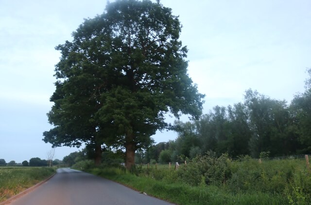
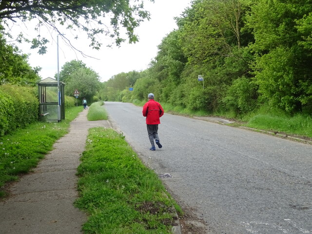
The landscape of Whitton is predominantly rural, characterized by gently rolling hills, open fields, and small woodland areas. The area is known for its picturesque countryside, providing a tranquil and peaceful setting for its inhabitants.
Whitton has a rich history, dating back to the medieval period. The parish is scattered with historical landmarks, including St. Mary's Church, a Grade II listed building that dates back to the 12th century. The church features stunning architectural details and serves as a cultural and historical centerpiece for the community.
The economy of Whitton is primarily based on agriculture, with farming and livestock rearing being the main industries. The fertile land and favorable climate make it an ideal location for agricultural activities. In recent years, there has been a rise in tourism, with visitors attracted to the area's natural beauty and historical attractions.
The community of Whitton is close-knit and supportive, with various local amenities and services available to residents. These include a village hall, a primary school, a post office, and a few small shops. The parish also has several public footpaths, offering opportunities for outdoor activities such as walking and cycling.
Overall, Whitton is a charming and idyllic civil parish that offers a peaceful rural lifestyle, while still being within easy reach of the amenities and facilities of nearby Ipswich.
If you have any feedback on the listing, please let us know in the comments section below.
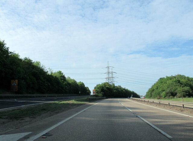
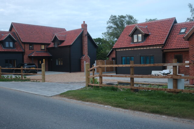
Whitton Images
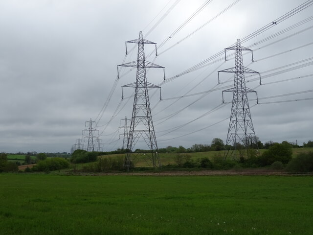
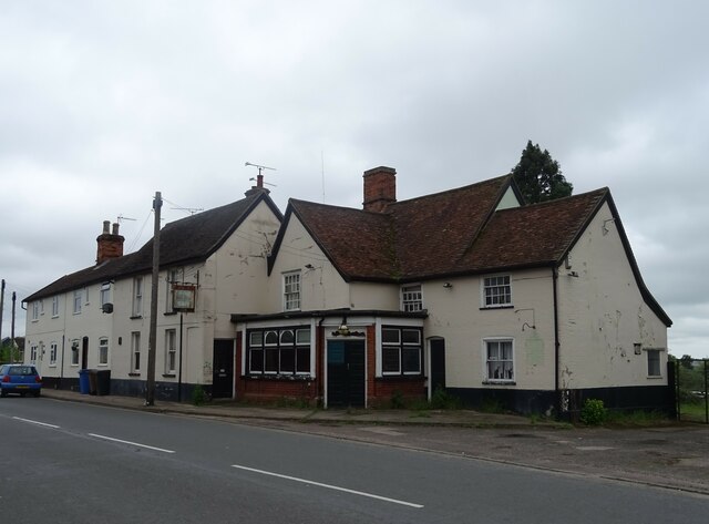
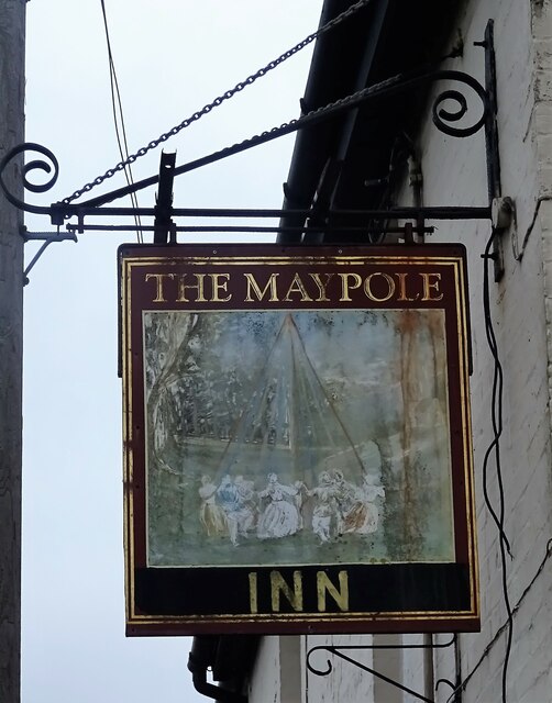
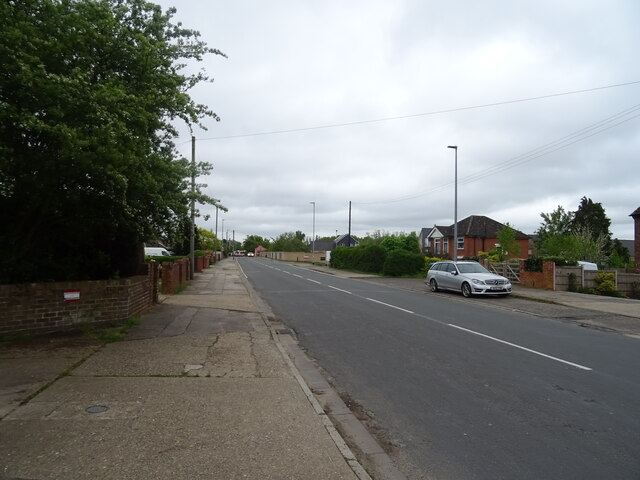
Images are sourced within 2km of 52.09073/1.134028 or Grid Reference TM1448. Thanks to Geograph Open Source API. All images are credited.


Whitton is located at Grid Ref: TM1448 (Lat: 52.09073, Lng: 1.134028)
Administrative County: Suffolk
District: Mid Suffolk
Police Authority: Suffolk
What 3 Words
///pass.herbs.sample. Near Claydon, Suffolk
Related Wikis

Whitton, Mid Suffolk
Whitton is a civil parish in the Mid Suffolk district, in the county of Suffolk, England. The parish does not include the Ipswich suburb of Whitton. In...

Akenham
Akenham is a village and civil parish in the Mid Suffolk district of Suffolk in Eastern England. Located on the northwestern edge of Ipswich, in 2005 it...
St Mary's Church, Akenham
St Mary's Church is a historic Anglican church in the village of Akenham, Suffolk, England. It is recorded in the National Heritage List for England as...

Ormiston Endeavour Academy
Ormiston Endeavour Academy (formerly Thurleston High School) is a secondary school with academy status located in Ipswich in the English county of Suffolk...
Nearby Amenities
Located within 500m of 52.09073,1.134028Have you been to Whitton?
Leave your review of Whitton below (or comments, questions and feedback).