Whaplode
Civil Parish in Lincolnshire South Holland
England
Whaplode

Whaplode is a civil parish located in the county of Lincolnshire, in the East Midlands region of England. It is situated approximately 7 miles south of the town of Spalding and 16 miles north of the city of Peterborough. The parish covers an area of about 10 square miles and has a population of around 3,000 residents.
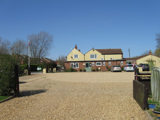
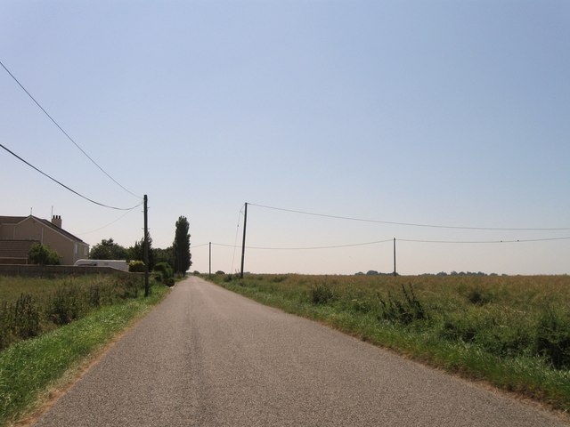
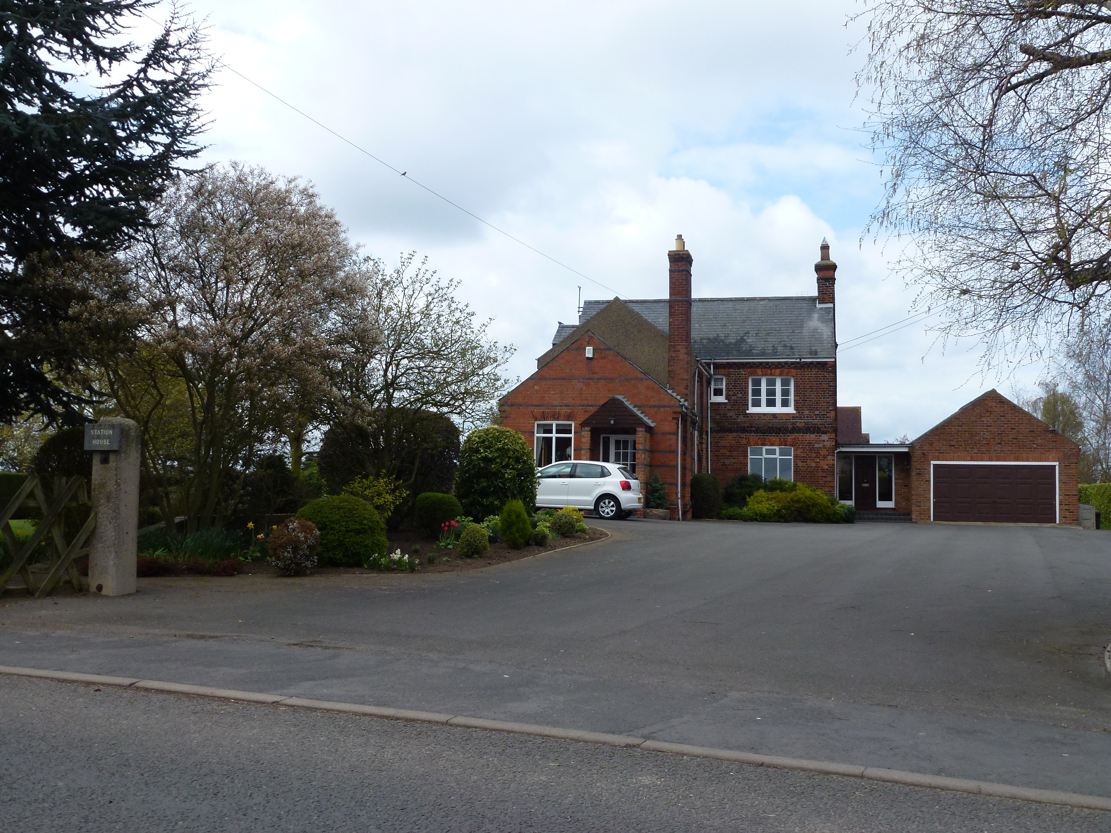
The village of Whaplode is the main settlement within the parish and is characterized by its charming rural atmosphere. It features a mix of traditional and modern architecture, with a range of residential properties, including cottages, farmhouses, and more contemporary homes. The village is surrounded by picturesque farmland and countryside, offering stunning views and a tranquil environment.
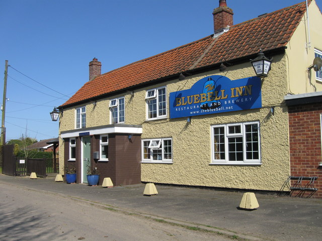
Whaplode is well-served by amenities and services for its residents. It has a primary school, a village hall, and a number of local businesses, including shops, pubs, and restaurants. The village also has a post office and a medical practice, ensuring that essential services are easily accessible to the community.
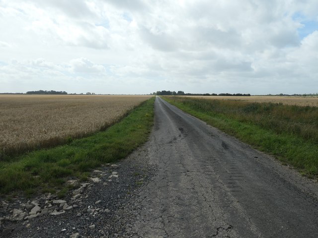
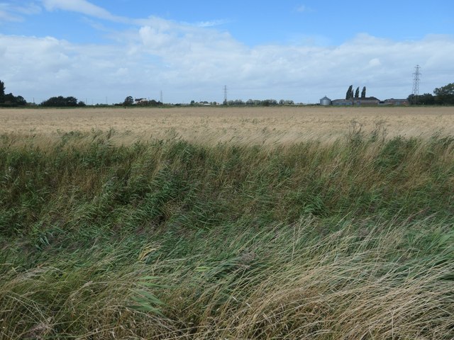
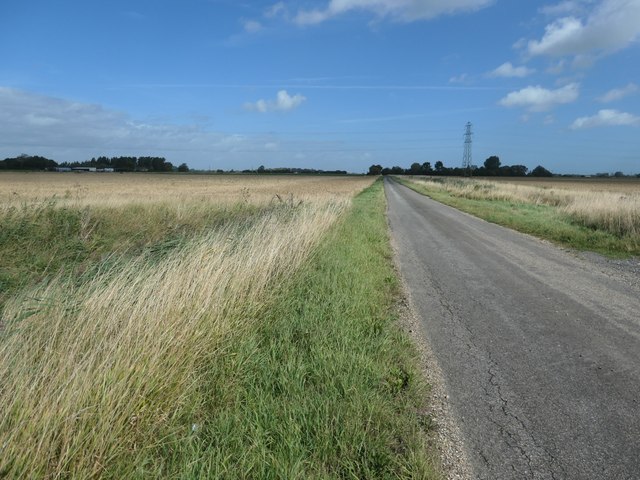
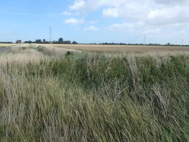
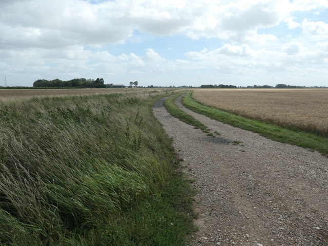
The parish is known for its strong agricultural heritage, with farming playing a significant role in the local economy. The fertile land surrounding Whaplode supports a variety of crops, including vegetables, cereals, and flowers. The agricultural sector also provides employment opportunities for many residents.
Overall, Whaplode offers a peaceful and close-knit community, combined with convenient access to nearby towns and cities. Its beautiful countryside setting and agricultural significance make it an attractive place to live for those seeking a rural lifestyle.
If you have any feedback on the listing, please let us know in the comments section below.
Whaplode Images
Images are sourced within 2km of 52.765019/-0.037205 or Grid Reference TF3220. Thanks to Geograph Open Source API. All images are credited.


Whaplode is located at Grid Ref: TF3220 (Lat: 52.765019, Lng: -0.037205)
Administrative County: Lincolnshire
District: South Holland
Police Authority: Lincolnshire
What 3 Words
///rucksack.consoled.download. Near Whaplode, Lincolnshire
Nearby Locations
Related Wikis

Elloes
Elloes was a local justice area (LJA) and former petty sessional division in Lincolnshire, England. It was formed in 1990 by a merger of the former East...
Moulton Castle
Moulton Castle, also known as King's Hall Park, is a medieval earthwork and scheduled monument situated 1.5 miles (2.4 km) to the south of Moulton, Lincolnshire...
Holbeach St Johns
Holbeach St Johns is a small village in South Holland district of Lincolnshire, England. It is situated approximately 4 miles (6 km) south from the town...

Fenland Airfield
Fenland Airfield or Fenland Aerodrome (ICAO: EGCL) is located 6 nautical miles (11 km; 6.9 mi) southeast of the town Spalding near the small village of...
Austendike
Austendike is a village in the civil parish of Moulton in Lincolnshire, England. The population is included in the civil parish of Weston
Whaplode railway station
Whaplode railway station was a station in Whaplode, Lincolnshire. Built by the Norwich and Spalding Railway, (later Midland and Great Northern Joint Railway...
Moulton railway station (Lincolnshire)
Moulton (Lincolnshire) railway station was a station in Moulton, Lincolnshire. Built by the Norwich and Spalding Railway, (later Midland and Great Northern...
Holbeach Fen
Holbeach Fen is a fenland settlement and area in the South Holland district of southern Lincolnshire, England. It is 3 miles (5 km) south from Holbeach...
Nearby Amenities
Located within 500m of 52.765019,-0.037205Have you been to Whaplode?
Leave your review of Whaplode below (or comments, questions and feedback).