Buckpool
Settlement in Banffshire
Scotland
Buckpool
Buckpool is a coastal village located in the historical county of Banffshire, in the northeast of Scotland. Situated on the southern shores of the Moray Firth, it is part of the larger town of Buckie and lies approximately 56 miles northwest of Aberdeen.
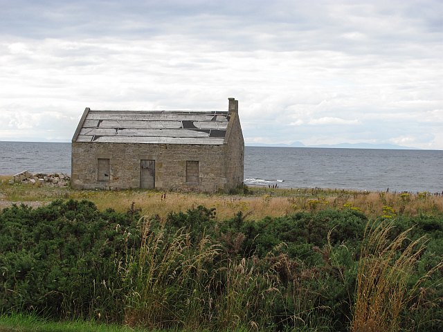
Known for its picturesque setting, Buckpool boasts stunning views of the North Sea and the surrounding rugged coastline. The village is home to a small, close-knit community and offers a calm and tranquil environment for residents and visitors alike.
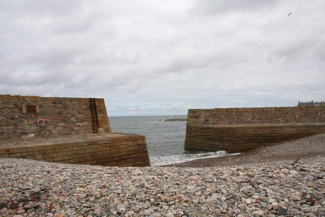
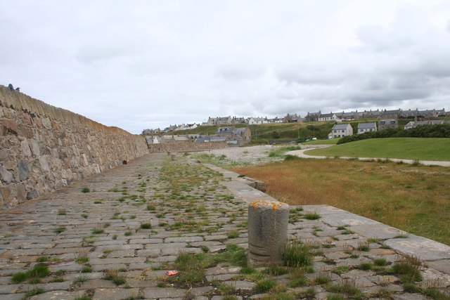
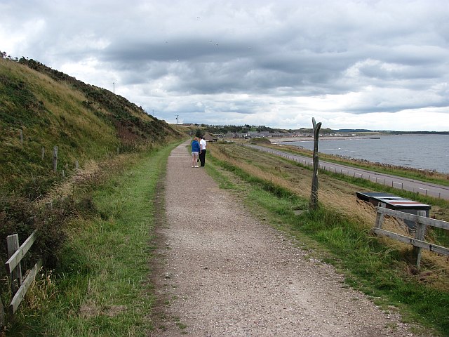
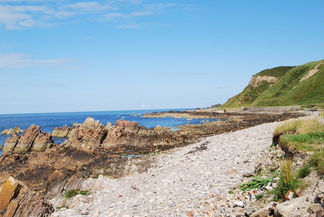
The main attraction in Buckpool is the beautiful beach, which stretches for miles and provides a perfect spot for leisurely walks or relaxing picnics. The sandy shores are popular with locals and tourists during the summer months, offering opportunities for sunbathing, swimming, and various water sports.
In addition to its natural beauty, Buckpool also has some notable landmarks. The Buckie and District Fishing Heritage Centre, located nearby, provides insight into the area's rich maritime history and the traditional fishing practices that have shaped the community over the years.
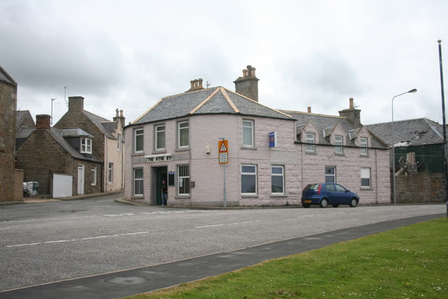
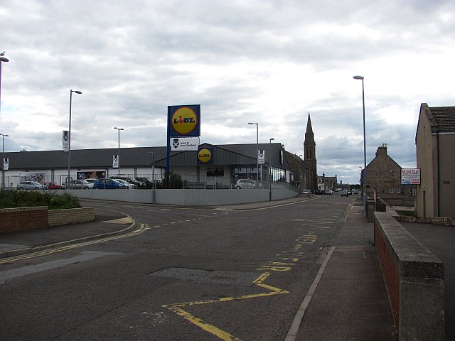
The village is well-served by amenities, including a range of shops, restaurants, and cafes, ensuring that residents have easy access to everyday necessities. For those seeking a bit of adventure, the nearby Speyside Way offers scenic hiking and cycling routes through the stunning Scottish countryside.
Overall, Buckpool in Banffshire is a charming coastal village that offers a peaceful retreat for nature lovers and those looking to explore Scotland's scenic beauty.
If you have any feedback on the listing, please let us know in the comments section below.
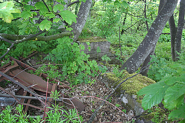
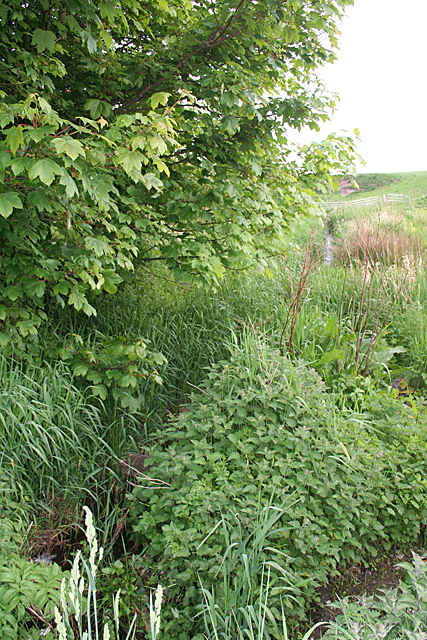
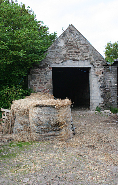
Buckpool Images
Images are sourced within 2km of 57.669004/-2.9811583 or Grid Reference NJ4164. Thanks to Geograph Open Source API. All images are credited.


Buckpool is located at Grid Ref: NJ4164 (Lat: 57.669004, Lng: -2.9811583)
Unitary Authority: Moray
Police Authority: North East
What 3 Words
///table.cutaway.boils. Near Buckie, Moray
Nearby Locations
Related Wikis

Seafield Hospital
Seafield Hospital is a community hospital in Buckie, Morayshire, Scotland. It is managed by NHS Grampian. == History == The hospital was officially opened...
Buckpool Golf Club
Buckpool Golf Club is located in Buckie, Moray on the Moray Firth coast of Scotland. This 18 hole course is set out on a clifftop location at the extreme...
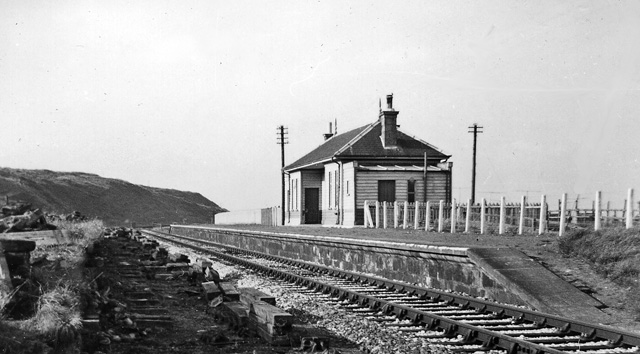
Buckpool railway station
Buckpool railway station was a railway station in Buckpool near Buckie in Moray. The railway station was opened by the Great North of Scotland Railway...

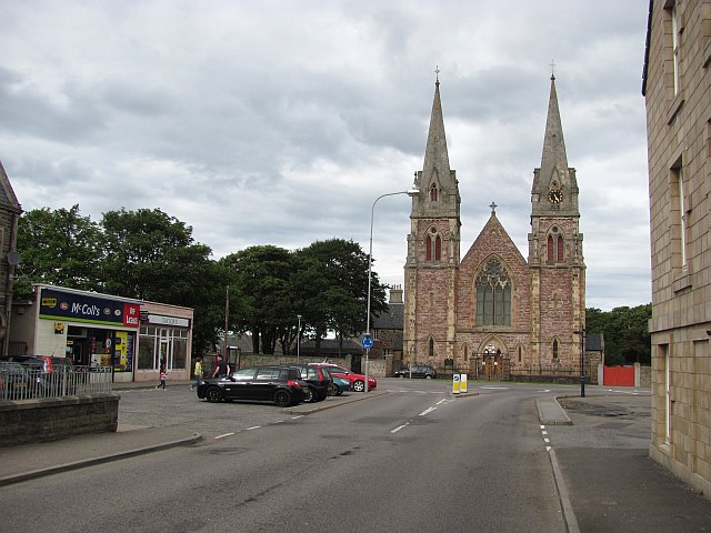
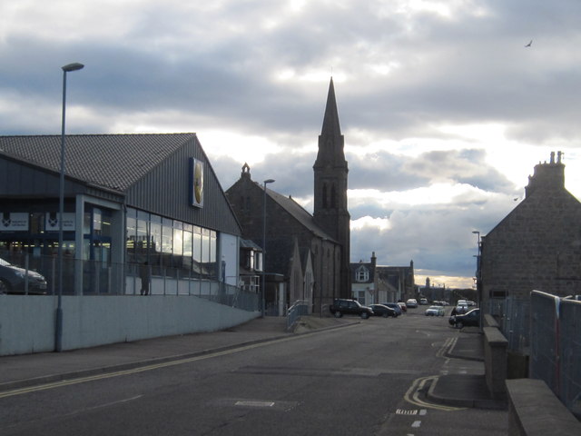
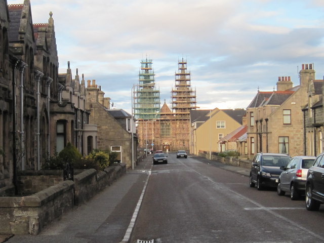
St Peter's Roman Catholic Church, Buckie
St Peter's Roman Catholic Church is a large mid-nineteenth century church in Buckie, Moray, Scotland. Known locally as the Buckie Cathedral, it was built...
Buckie High School
Buckie High School is a mixed secondary school in Buckie, Moray, Scotland which has a roll of around 900 pupils in years S1 to S6. The school serves the...
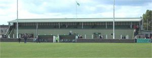
Victoria Park, Buckie
Victoria Park is a football ground in Buckie in north-east Scotland, which is the home ground of Highland Football League side Buckie Thistle. It is located...

Arradoul
Arradoul is a small village in Scotland, in the traditional county of Banffshire, and in the Moray council area. It is a ribbon settlement on the south...

Inchgower distillery
Inchgower distillery is a whisky distillery producing a single malt of the same name located on the outskirts of Buckie, Moray, Scotland. == History... ==
Nearby Amenities
Located within 500m of 57.669004,-2.9811583Have you been to Buckpool?
Leave your review of Buckpool below (or comments, questions and feedback).