West Moors

Civil Parish in Dorset East Dorset

England

West Moors

Old railway bridge over Mannington Brook, West Moors This image, taken in February 2016, updates one I took in 2011. In that year, the bridge was heavily obscured by vegetation and rather neglected: the owners of the land (and the bridge) have now cleared the undergrowth - and coupled to a fine flow of water down the brook (flowing towards the viewer), and no leaves on the trees in the foreground, this makes quite a pleasing shot.
Old railway bridge over Mannington Brook, West Moors Credit: Martin Rowley

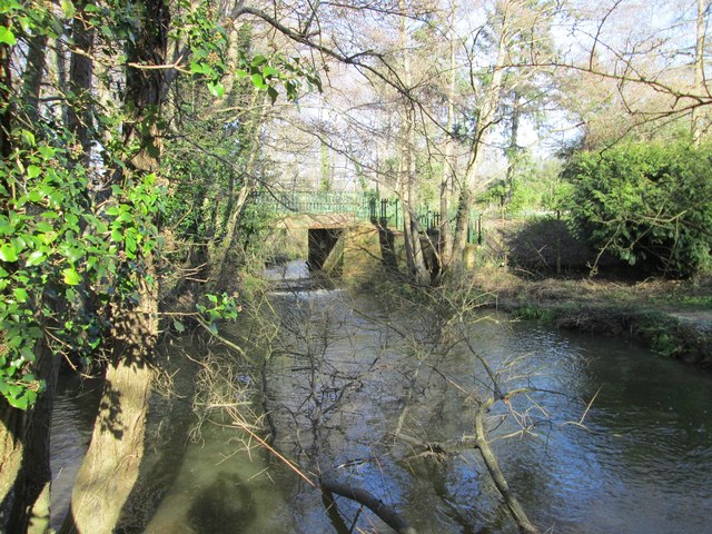
West Moors is a civil parish located in the county of Dorset, England. Situated approximately 8 miles north of the coastal town of Bournemouth, West Moors is a village known for its tranquil and picturesque surroundings. The parish is bordered by the New Forest National Park to the east, offering residents and visitors easy access to its stunning landscapes and diverse wildlife.

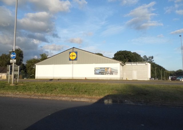
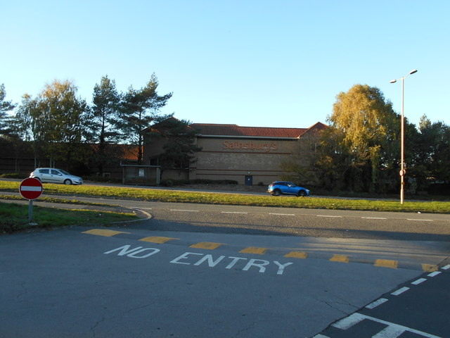
With a population of around 7,000 people, West Moors is a close-knit community that benefits from a range of amenities and services. The village boasts two primary schools, a library, a community centre, and several local shops and businesses. There are also various sports facilities, including a cricket club, a tennis club, and a golf course, providing recreational opportunities for residents of all ages.

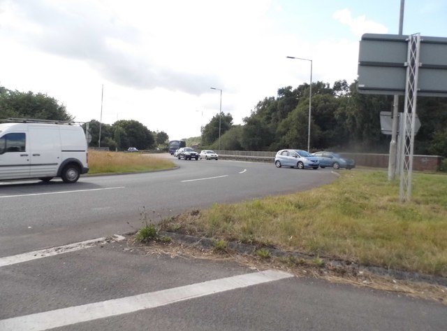
West Moors is well-connected to neighboring areas, with regular bus services operating in the village, as well as a train station located in nearby Hamworthy. The A31 road also runs through the parish, providing convenient access to other parts of Dorset and Hampshire.

The village itself offers a mix of architectural styles, with a blend of traditional and modern buildings. The surrounding countryside is characterized by open fields, woodlands, and heathlands, making it a popular destination for nature lovers and outdoor enthusiasts. West Moors is also recognized for its strong sense of community spirit, with various events and activities organized throughout the year, such as a summer carnival and a Christmas lights switch-on.

Overall, West Moors, Dorset is a charming parish that offers a peaceful and family-friendly environment, with a range of amenities and natural attractions to enjoy.

If you have any feedback on the listing, please let us know in the comments section below.
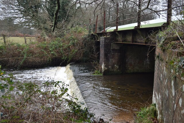
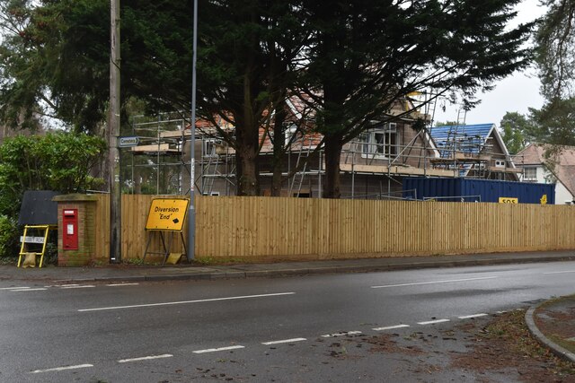
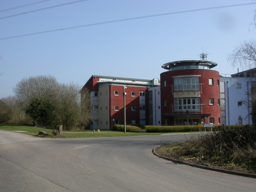
West Moors Images

Images are sourced within 2km of 50.828544/-1.879989 or Grid Reference SU0803. Thanks to Geograph Open Source API. All images are credited.

Old railway bridge over Mannington Brook, West Moors This image, taken in February 2016, updates one I took in 2011. In that year, the bridge was heavily obscured by vegetation and rather neglected: the owners of the land (and the bridge) have now cleared the undergrowth - and coupled to a fine flow of water down the brook (flowing towards the viewer), and no leaves on the trees in the foreground, this makes quite a pleasing shot.
Old railway bridge over Mannington Brook, West Moors
This image, taken in February 2016, updates one I took in 2011. In that year, the bridge was heavily obscured by vegetation and rather neglected: the owners of the land (and the bridge) have now cleared the undergrowth - and coupled to a fine flow of water down the brook (flowing towards the viewer), and no leaves on the trees in the foreground, this makes quite a pleasing shot.
Lidl on Ringwood Road, Ferndown
The Azalea roundabout on the A31, Ferndown
Roundabout on The A31, Trickett's Cross
The Palmsersford Roundabout, Trickett's Cross
The A31 near West Moors
A large back wall Sainsbury's supermarket's large back wall. Facing a busy dual carriageway.
A large back wall
Sainsbury's supermarket's large back wall. Facing a busy dual carriageway.
Going underground A subway going under a busy roundabout and dual carriageway.
pathway around a woodland area.
Going underground
A subway going under a busy roundabout and dual carriageway. pathway around a woodland area.
Ashurst Road A narrow fairly leafy residential road in West Moors.
Ashurst Road
A narrow fairly leafy residential road in West Moors.
The Avenue A leafy residential road in West Moors.
The Avenue
A leafy residential road in West Moors.
Former railway bridge over Moors River
Weir on Moors River Below the former railway bridge, now carrying the Castleman Trailway.
Weir on Moors River
Below the former railway bridge, now carrying the Castleman Trailway.
Muddy path on the edge of West Moors Plantation
Cycle route through West Moors Plantation
Junction of Southern Road and Uplands Road Typical bungalow street scene in West Moors.
Junction of Southern Road and Uplands Road
Typical bungalow street scene in West Moors.
Postal delivery, Abbey Road
New infill housing beside Pinehurst Road
Pinehurst Community Church With one of the most minimal church spires I have ever seen!
Pinehurst Community Church
With one of the most minimal church spires I have ever seen!
Show me another place!

West Moors is located at Grid Ref: SU0803 (Lat: 50.828544, Lng: -1.879989)

Administrative County: Dorset

District: East Dorset

Police Authority: Dorset

What 3 Words

///topic.dining.maps. Near Three Legged Cross, Dorset

Nearby Locations

West Moors

Related Wikis

West Moors railway station

West Moors is a closed railway station in Dorset. Opened in 1867, it became the junction of the Southampton and Dorchester Railway and the Salisbury and...

West Moors

West Moors is a village in Dorset, England, on the northern fringe of the Poole-Bournemouth conurbation, just outside the larger settlements of Ferndown...

Woolsbridge

Woolsbridge is a village in Dorset, England. Woolsbridge was formerly under the control of the Earl of Normanton and is a part of the civil parish of Cranbourne...

Ameysford

Ameysford is a suburb and electoral ward in Ferndown, Dorset, England.

Nearby Amenities

Located within 500m of 50.828544,-1.879989
Turning Circle
Lat/Long: 50.8251104/-1.8798511
Turning Circle
Lat/Long: 50.8262211/-1.8829196
Turning Circle
Lat/Long: 50.8256377/-1.8851177
Turning Circle
Lat/Long: 50.8309583/-1.8856367
Turning Circle
Lat/Long: 50.8280644/-1.8767345
Power: tower
Source: Bing
Lat/Long: 50.8284194/-1.8729004
Power: tower
Source: Bing
Lat/Long: 50.8307015/-1.8804814
Power: tower
Source: Bing
Lat/Long: 50.8296565/-1.8769991
Fixme: continue
Lat/Long: 50.8260377/-1.8774449
Post Box
Post Box Type: wall
Ref: BH22 105D
Ref GB Uprn: 10015452487
Royal Cypher: GR
Royal Cypher Wikidata: Q33102273
Lat/Long: 50.8279425/-1.8801729
Post Box
Ref: BH22 80
Ref GB Uprn: 10015356257
Lat/Long: 50.824341/-1.8821429
Turning Circle
Lat/Long: 50.8247954/-1.8763921
Turning Circle
Lat/Long: 50.8246351/-1.8802798
Turning Circle
Lat/Long: 50.8266577/-1.8812371
Turning Circle
Lat/Long: 50.8280615/-1.882594
Turning Circle
Lat/Long: 50.828339/-1.8815959
The data included in this document is from www.openstreetmap.org. The data is made available under ODbL.

Have you been to West Moors?

Leave your review of West Moors below (or comments, questions and feedback).