Buckleigh
Settlement in Devon Torridge
England
Buckleigh
Buckleigh is a small village located in the county of Devon, in the southwest of England. Situated approximately 10 miles northeast of the city of Plymouth, Buckleigh is nestled amidst the rolling hills and lush countryside that characterizes this region. The village is part of the local government district of Torridge and falls within the civil parish of Buckleigh.
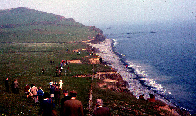
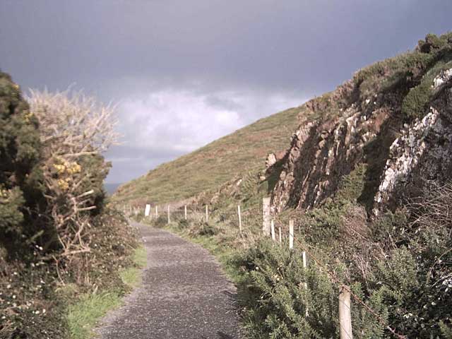
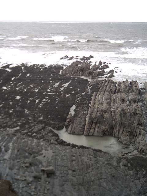
With a population of around 500 residents, Buckleigh offers a peaceful and close-knit community atmosphere. The village is known for its picturesque surroundings, with idyllic landscapes and charming rural vistas. It is a popular destination for those seeking a tranquil retreat away from the hustle and bustle of urban life.
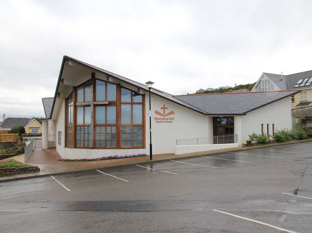
Buckleigh boasts a rich history, evident in its architecture and heritage sites. The village church, St. Mary's, is a prominent landmark, dating back to the 13th century and featuring stunning medieval stained glass windows. The local pub, The Buckleigh Arms, is a cozy establishment that serves as a hub for social gatherings and community events.
Despite its small size, Buckleigh offers a range of amenities for its residents. These include a primary school, a village hall, and a post office. The village is also well-connected to neighboring towns and cities, with regular bus services and convenient access to major road networks.
Overall, Buckleigh is a charming village that offers a peaceful and rural lifestyle, making it an attractive destination for those seeking a slice of countryside living in the heart of Devon.
If you have any feedback on the listing, please let us know in the comments section below.
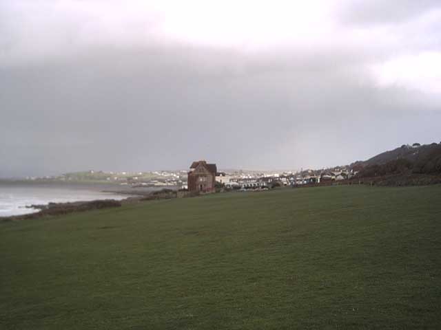
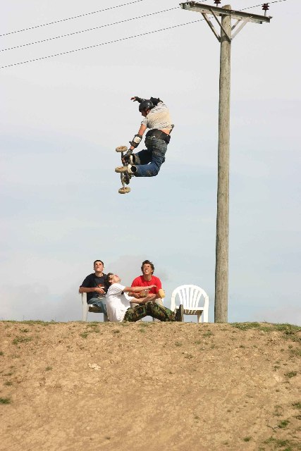
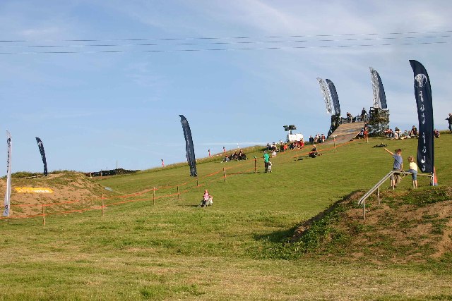
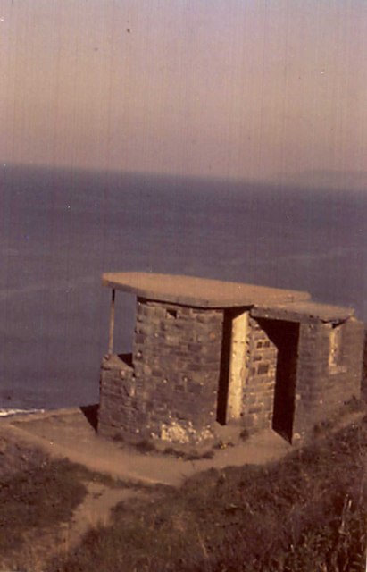
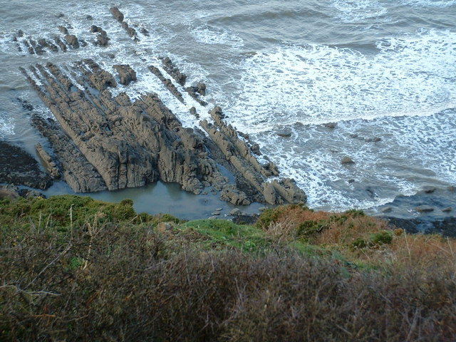
Buckleigh Images
Images are sourced within 2km of 51.03586/-4.234381 or Grid Reference SS4328. Thanks to Geograph Open Source API. All images are credited.


Buckleigh is located at Grid Ref: SS4328 (Lat: 51.03586, Lng: -4.234381)
Administrative County: Devon
District: Torridge
Police Authority: Devon and Cornwall
What 3 Words
///crib.stores.limp. Near Northam, Devon
Related Wikis

United Services College
The United Services College was an English boys' public school for the sons of military officers and civil servants, located from 1874 at Westward Ho!...

Westward Ho!
Westward Ho! is a seaside village near Bideford in Devon, England. The A39 road provides access from the towns of Barnstaple, Bideford, and Bude. It lies...
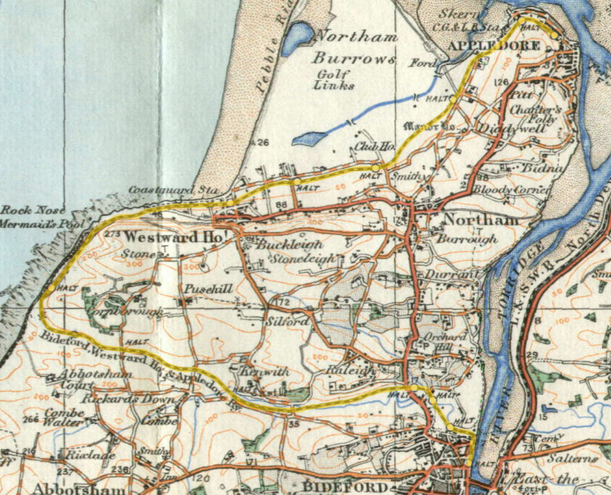
Westward Ho! railway station
Westward Ho! railway station was a railway station in north Devon, north-west of Bideford, serving the village of Westward Ho!; a tourist community within...
Beach Road railway station
Beach Road railway station was a minor railway station or halt/request stop in north Devon, close to Westward Ho!, serving the residents of Eastboune Terrace...
Nearby Amenities
Located within 500m of 51.03586,-4.234381Have you been to Buckleigh?
Leave your review of Buckleigh below (or comments, questions and feedback).