Wendens Ambo

Civil Parish in Essex Uttlesford

England

Wendens Ambo

Clanverend Farm, near Wendens Ambo, Essex
Clanverend Farm, near Wendens Ambo, Essex Credit: Robert Edwards

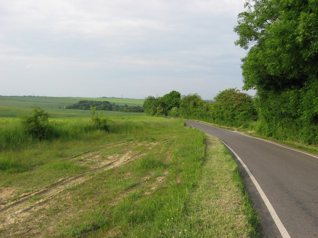
Wendens Ambo is a civil parish located in the county of Essex, England. It is situated approximately 5 miles southeast of the town of Saffron Walden and about 35 miles north of London. The parish covers an area of around 5.5 square miles and is surrounded by picturesque countryside.

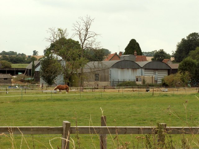
The village of Wendens Ambo is a small, rural settlement with a population of around 700 residents. It is known for its charming, traditional English architecture, including thatched-roof cottages and timber-framed houses. The parish also includes the nearby hamlet of Littlebury Green.

One of the prominent features of Wendens Ambo is its historic church, St. Mary the Virgin. Dating back to the 13th century, the church is a Grade II listed building and showcases beautiful medieval architecture. It is a focal point for the community and holds regular religious services.

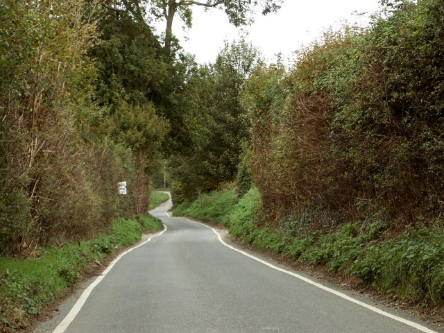
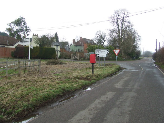
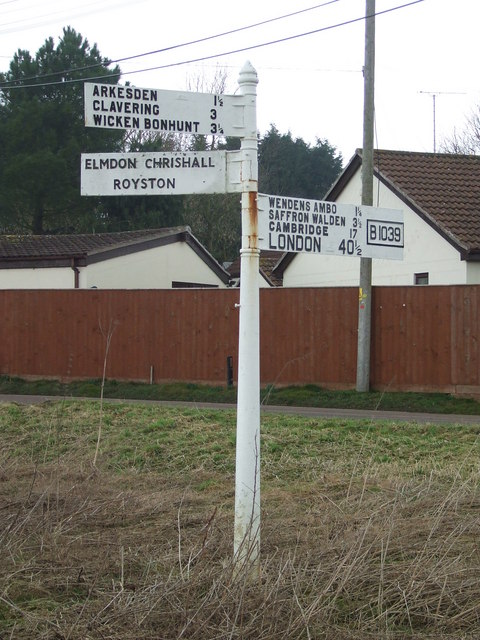
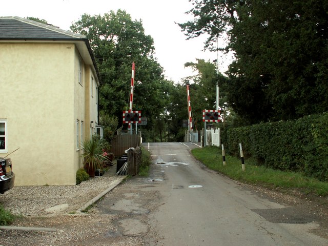
The village is well-connected to nearby towns and cities, with good transport links. It is located just off the A11 road, providing easy access to Saffron Walden, Cambridge, and London. The nearest railway station is Audley End, which is approximately 2 miles away and offers regular services to London Liverpool Street.

Wendens Ambo offers a peaceful and idyllic setting, making it a popular place to live for those seeking a rural lifestyle with easy access to urban amenities. The parish provides a range of facilities for its residents, including a village hall, a primary school, and a local pub.

If you have any feedback on the listing, please let us know in the comments section below.

Wendens Ambo Images

Images are sourced within 2km of 52.005267/0.190928 or Grid Reference TL5036. Thanks to Geograph Open Source API. All images are credited.

Clanverend Farm, near Wendens Ambo, Essex
Poore Street This is the section near Clanverend Bridge.
Poore Street
This is the section near Clanverend Bridge.
Stream at Long Lane Bridge Stream alongside the B1039 at Long Lane Bridge swollen by recent heavy rain.
Stream at Long Lane Bridge
Stream alongside the B1039 at Long Lane Bridge swollen by recent heavy rain.
Communications tower near Littlebury Green Communications tower near Littlebury Green, almost certainly a mobile phone repeater.
Communications tower near Littlebury Green
Communications tower near Littlebury Green, almost certainly a mobile phone repeater.
Electricity pylons across open farmland
The road north from Arkesden
Road Junction Road junction near to Wendens Ambo, Essex. For close up of the finger post see <a title="https://www.geograph.org.uk/photo/1177218" href="https://www.geograph.org.uk/photo/1177218">Link</a>
Road Junction
Road junction near to Wendens Ambo, Essex. For close up of the finger post see Link
Finger Post Finger post at road junction near to Wendens Ambo, Essex. For overall view see <a title="https://www.geograph.org.uk/photo/1170884" href="https://www.geograph.org.uk/photo/1170884">Link</a>
Finger Post
Finger post at road junction near to Wendens Ambo, Essex. For overall view see Link
Audley End station Audley End, the nearest station for Saffron Walden, is on the Liverpool Street - Cambridge line.
Audley End station
Audley End, the nearest station for Saffron Walden, is on the Liverpool Street - Cambridge line.
Wendens Ambo A beautiful view of the hamlet of Wendens Ambo, with the Church of St Mary The Virgin in the background
Wendens Ambo
A beautiful view of the hamlet of Wendens Ambo, with the Church of St Mary The Virgin in the background
Chestnut Avenue, near Audley End, Essex The bridge carries the M11 motorway.
Chestnut Avenue, near Audley End, Essex
The bridge carries the M11 motorway.
Railway Bridge over Chestnut Avenue, near Audley End, Essex
'The Bell' inn, Wendens Ambo, Essex This is a very old timber-framed inn that stands on the B.1039 road to Royston.
'The Bell' inn, Wendens Ambo, Essex
This is a very old timber-framed inn that stands on the B.1039 road to Royston.
Railway crossing at Wendens Ambo, Essex The road in the photo is Rookery Lane.
Railway crossing at Wendens Ambo, Essex
The road in the photo is Rookery Lane.
Motorway bridge at Wendens Ambo, Essex The road is the B1039 and the bridge carries the M11.
Motorway bridge at Wendens Ambo, Essex
The road is the B1039 and the bridge carries the M11.
Cottages A real chocolate box picture of Wendens Ambo, a village in North Essex which always attracts the photographers and tourists.  But will the peace and quiet of such a pla ce be shattered if the plans to extend Stansted Airport go ahead.
Cottages
A real chocolate box picture of Wendens Ambo, a village in North Essex which always attracts the photographers and tourists. But will the peace and quiet of such a pla ce be shattered if the plans to extend Stansted Airport go ahead.
'The Fighting Cocks' inn The road is the B.1383, which used to be the busy A.11
'The Fighting Cocks' inn
The road is the B.1383, which used to be the busy A.11
Wenden Road on the way to Saffron Walden Sir Joshua's Bridge is just behind the parked car.
Wenden Road on the way to Saffron Walden
Sir Joshua's Bridge is just behind the parked car.
Show me another place!

Wendens Ambo is located at Grid Ref: TL5036 (Lat: 52.005267, Lng: 0.190928)

Administrative County: Essex

District: Uttlesford

Police Authority: Essex

What 3 Words

///motivator.mixing.control. Near Saffron Walden, Essex

Nearby Locations

Wendens Ambo

Related Wikis

St Mary the Virgin Church, Wendens Ambo

St Mary the Virgin Church is a Church of England parish church in the village of Wendens Ambo in Essex, England. It is listed Grade I for its architectural...

Wendens Ambo

Wendens Ambo is a village in the Uttlesford district of Essex, England. The population at the 2011 census was measured at 473. Its name originates from...

Audley End railway station

Audley End railway station is on the West Anglia Main Line serving the village of Wendens Ambo and the town of Saffron Walden in Essex, England. It is...

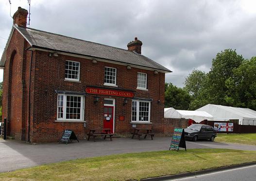
Waldstock Festival UK

Waldstock is an annual charity music festival held in the grounds of the Fighting Cocks Public House, Wendens Ambo, Essex. Waldstock is organised entirely...

Nearby Amenities

Located within 500m of 52.005267,0.190928
Power: tower
Lat/Long: 52.0088955/0.1930921
Power: tower
Lat/Long: 52.0024297/0.1884841
Power: tower
Lat/Long: 52.005808/0.1908873
Power: pole
Source: bing
Lat/Long: 52.0044677/0.183776
Power: pole
Source: bing
Lat/Long: 52.0047549/0.184942
Barrier: stile
Lat/Long: 52.0052851/0.196165
Jubilee Wood, Chinnel Meadow 2012
Information: board
Tourism: information
Lat/Long: 52.0025932/0.196673
Bench
Backrest: no
Lat/Long: 52.0023894/0.1959424
Historic: ruins
Lat/Long: 52.0031448/0.1942496
The data included in this document is from www.openstreetmap.org. The data is made available under ODbL.

Have you been to Wendens Ambo?

Leave your review of Wendens Ambo below (or comments, questions and feedback).