Wellow
Civil Parish in Somerset
England
Wellow
Wellow is a civil parish located in the county of Somerset, England. Situated approximately 6 miles south of Bath, it lies in the picturesque Mendip Hills. The parish covers an area of around 1,500 acres and has a population of approximately 700 people.
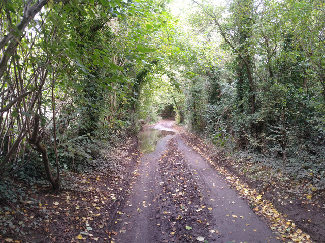
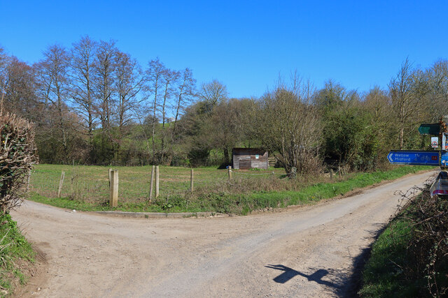
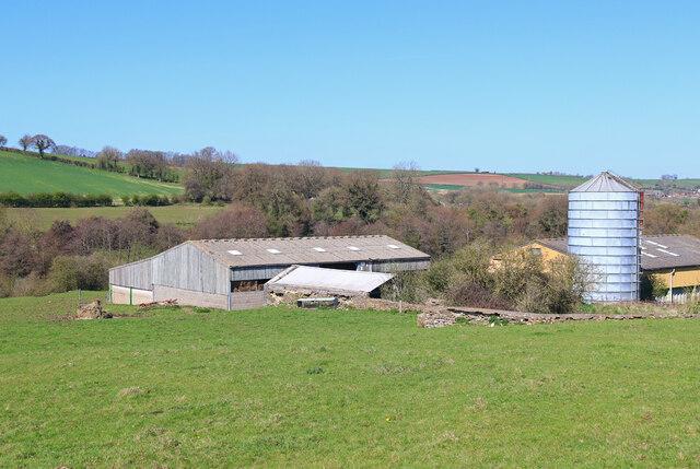
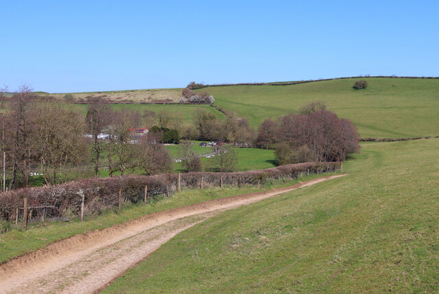
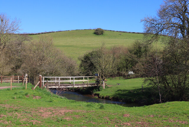
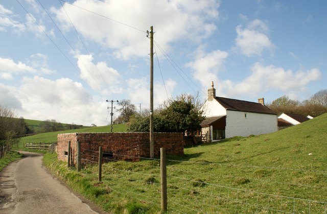
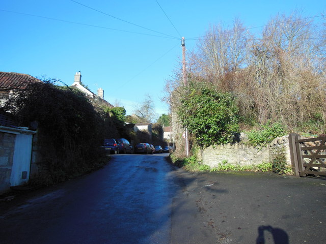
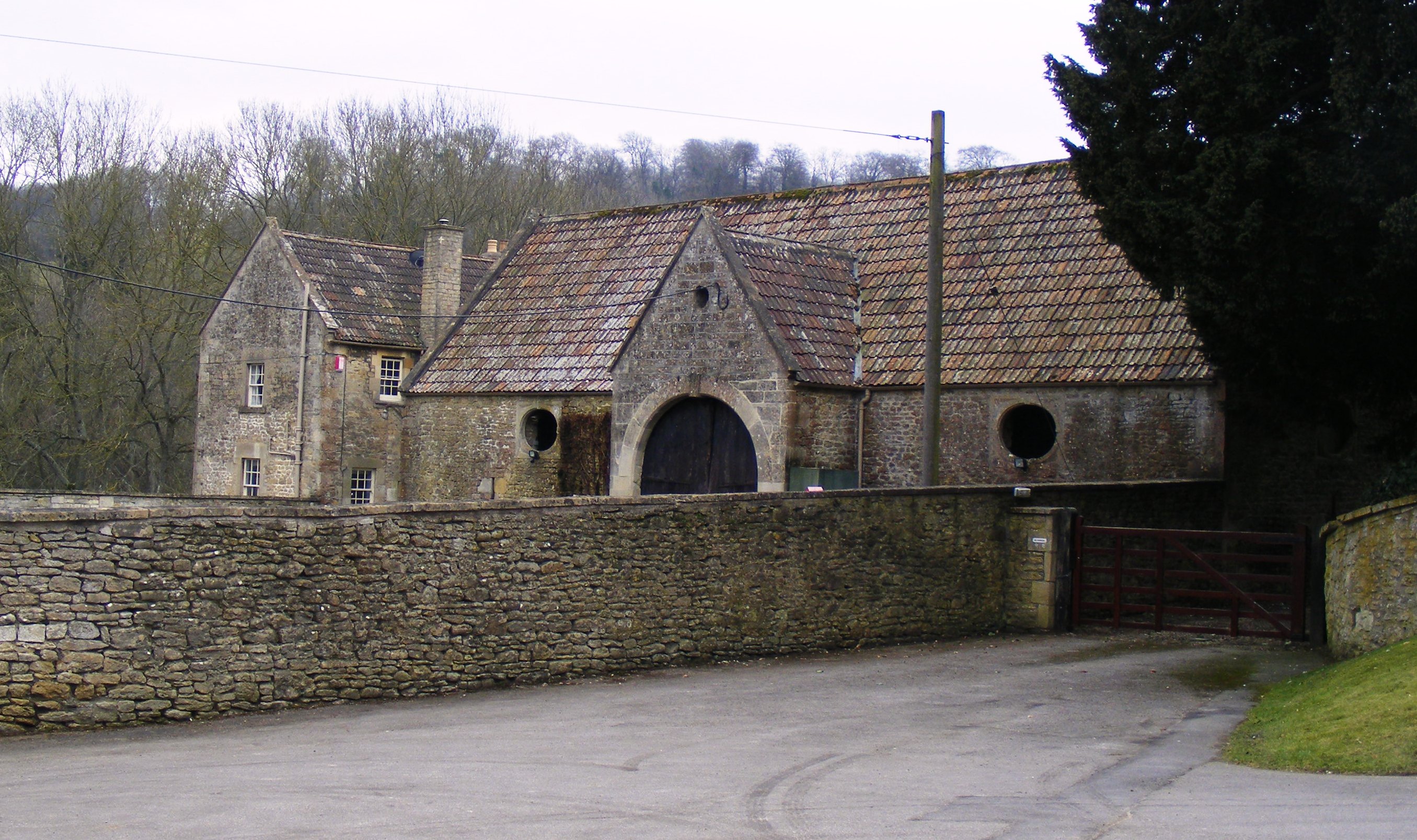
The village of Wellow is characterized by its idyllic rural setting, with rolling hills, lush green fields, and charming stone cottages. The surrounding countryside offers stunning views and ample opportunities for outdoor activities such as hiking, cycling, and horse riding.
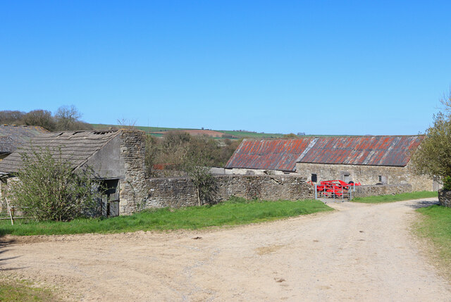
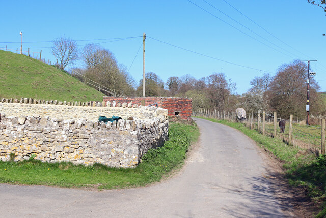
Wellow is known for its rich history, with evidence of human activity dating back to the Roman times. The village played a significant role in the wool trade during the medieval period and still retains some of its historic architecture, including the St. Julian's Church, which dates back to the 12th century.
In terms of amenities, Wellow boasts a vibrant community spirit with a variety of local services. These include a primary school, a village hall, a post office, and a village shop, providing essential goods and services for residents. The village also has a well-regarded pub, which serves as a social hub for locals and visitors alike.
Overall, Wellow offers a tranquil and picturesque setting for those seeking a peaceful rural lifestyle, while still providing convenient access to the nearby city of Bath and its amenities.
If you have any feedback on the listing, please let us know in the comments section below.
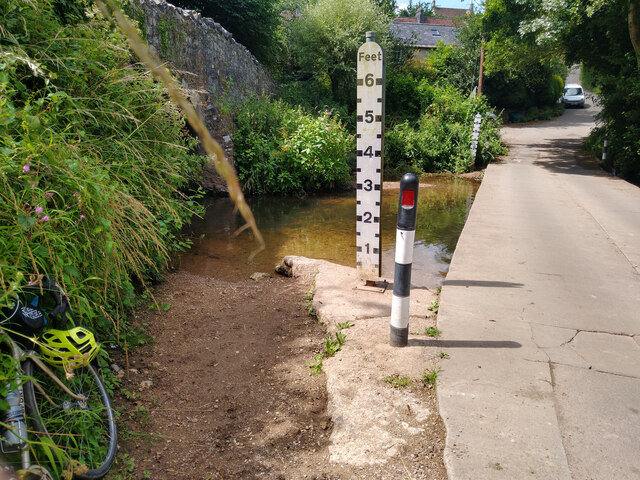
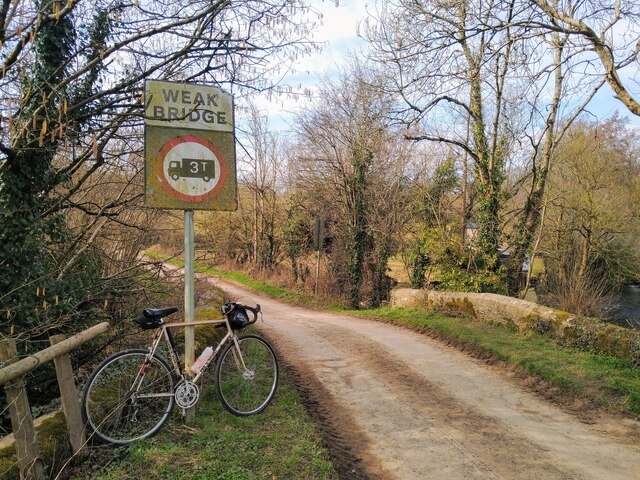
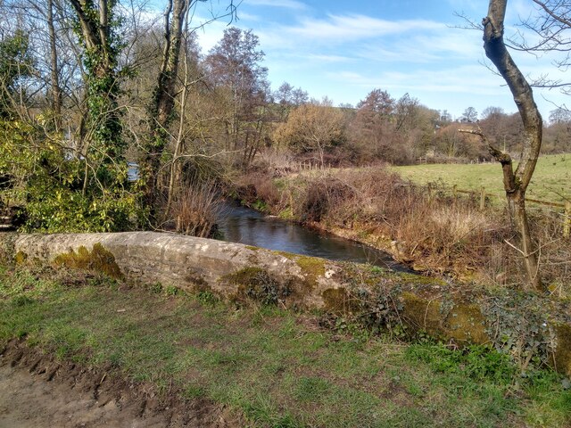
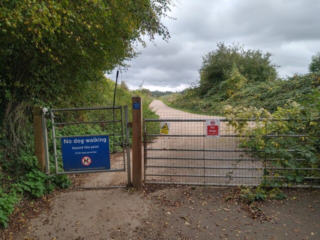
Wellow Images
Images are sourced within 2km of 51.321142/-2.375661 or Grid Reference ST7358. Thanks to Geograph Open Source API. All images are credited.


Wellow is located at Grid Ref: ST7358 (Lat: 51.321142, Lng: -2.375661)
Unitary Authority: Bath and North East Somerset
Police Authority: Avon and Somerset
What 3 Words
///sheepish.crowns.rounds. Near Wellow, Somerset
Related Wikis

Wellow (Somerset) railway station
Wellow railway station was a station on the Somerset and Dorset Joint Railway at Wellow in the county of Somerset in England. Opened on 20 July 1874, the...

Wellow, Somerset
Wellow is a village and civil parish in Somerset, England, about 5 miles (8.0 km) south of Bath. The parish, which includes the hamlets of Twinhoe, White...
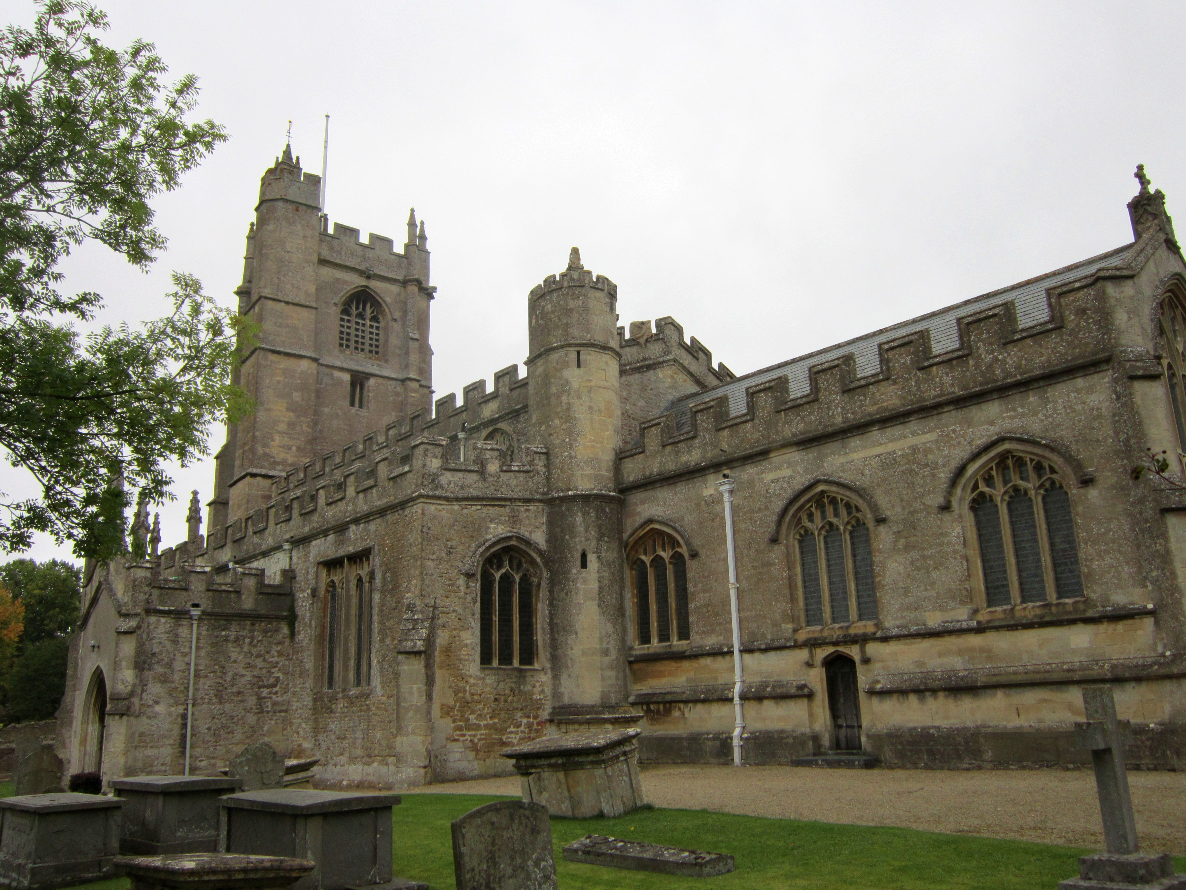
Church of St Julian, Wellow
The Church of St Julian in Wellow, Somerset, England has origins before the 12th century although the present building dates from 1372. It has been designated...

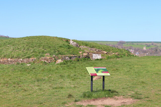
Stoney Littleton Long Barrow
The Stoney Littleton Long Barrow (also known as the Bath Tumulus and the Wellow Tumulus) is a Neolithic chambered tomb with multiple burial chambers, located...

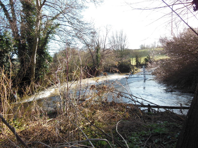
Norton Brook
Norton Brook is a small stream in Somerset, United Kingdom. The stream is a tributary of Wellow Brook. The body of water is located near Norton St Philip...

Hinton Hill, Wellow
Hinton Hill, Wellow (grid reference ST757582) is a 0.25 hectare geological Site of Special Scientific Interest (SSSI) near the village of Wellow in Somerset...
Combe Hay Manor
Combe Hay Manor in Combe Hay, Somerset, England is a manor house. It has been designated as a Grade I listed building.The house was built in two phases...

Cleaves Wood
Cleaves Wood (grid reference ST758576) is a 40.38 hectare biological Site of Special Scientific Interest (SSSI) near the village of Wellow in Bath and...
Nearby Amenities
Located within 500m of 51.321142,-2.375661Have you been to Wellow?
Leave your review of Wellow below (or comments, questions and feedback).