Buckland Marsh
Settlement in Berkshire Vale of White Horse
England
Buckland Marsh

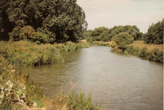
Buckland Marsh is a small village located in the county of Berkshire, England. Situated in the heart of the Thames Valley, it is surrounded by the picturesque countryside and rolling hills that Berkshire is renowned for. The village is nestled on the banks of the River Thames, offering stunning views and a tranquil atmosphere.
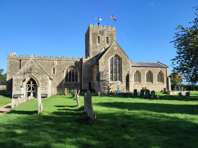
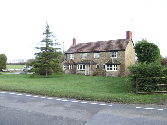
Buckland Marsh is characterized by its charming, traditional architecture, with many of its buildings dating back to the 17th and 18th centuries. The village is home to a close-knit community, with a population of approximately 500 residents. Despite its small size, Buckland Marsh boasts a range of amenities for its residents, including a local pub, a village hall, and a primary school.
The village is also known for its rich history, with archaeological evidence suggesting human activity in the area dating back thousands of years. The nearby Buckland Marsh Roman villa is a testament to this, providing a glimpse into the Roman occupation of Britain. Additionally, the village is located close to the historic town of Faringdon, known for its medieval architecture and vibrant market.
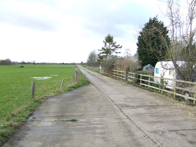
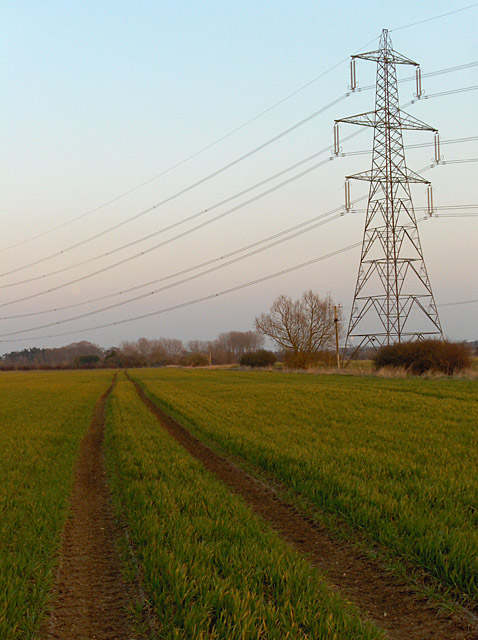
Nature enthusiasts will find plenty to explore in Buckland Marsh, as the surrounding area is a haven for wildlife. The nearby North Wessex Downs Area of Outstanding Natural Beauty offers opportunities for hiking, cycling, and birdwatching, allowing visitors to immerse themselves in the beauty of the British countryside.
Overall, Buckland Marsh, Berkshire is a charming village that combines history, natural beauty, and a strong sense of community, making it an idyllic place to call home or visit.
If you have any feedback on the listing, please let us know in the comments section below.
Buckland Marsh Images
Images are sourced within 2km of 51.693178/-1.517411 or Grid Reference SU3399. Thanks to Geograph Open Source API. All images are credited.


Buckland Marsh is located at Grid Ref: SU3399 (Lat: 51.693178, Lng: -1.517411)
Administrative County: Oxfordshire
District: Vale of White Horse
Police Authority: Thames Valley
What 3 Words
///exhaling.replenish.hooked. Near Bampton, Oxfordshire
Nearby Locations
Related Wikis

Tadpole Bridge
Tadpole Bridge is a road bridge across the River Thames in Oxfordshire, England, carrying a road between Bampton to the north and Buckland to the south...
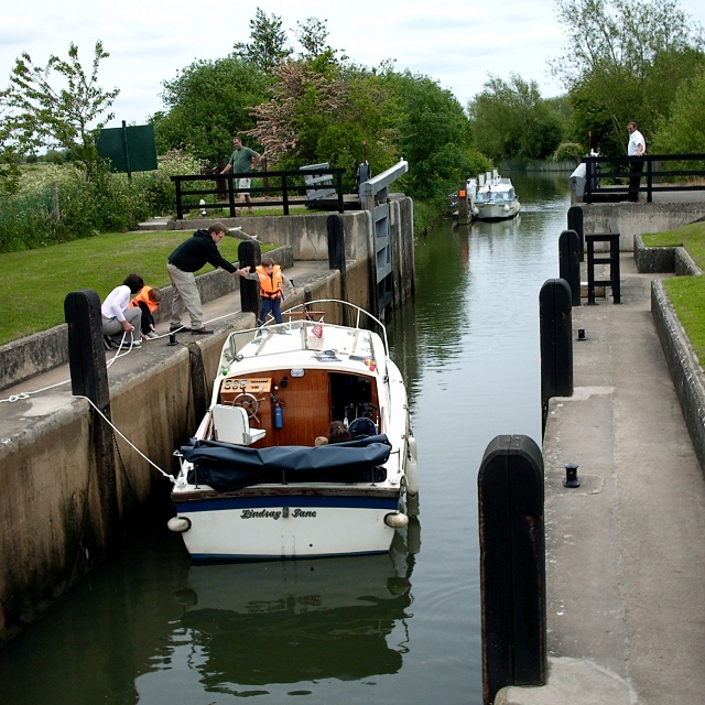
Rushey Lock
Rushey Lock is a lock on the River Thames in England. It is on the northern bank of the river in Oxfordshire, at a considerable distance from any village...
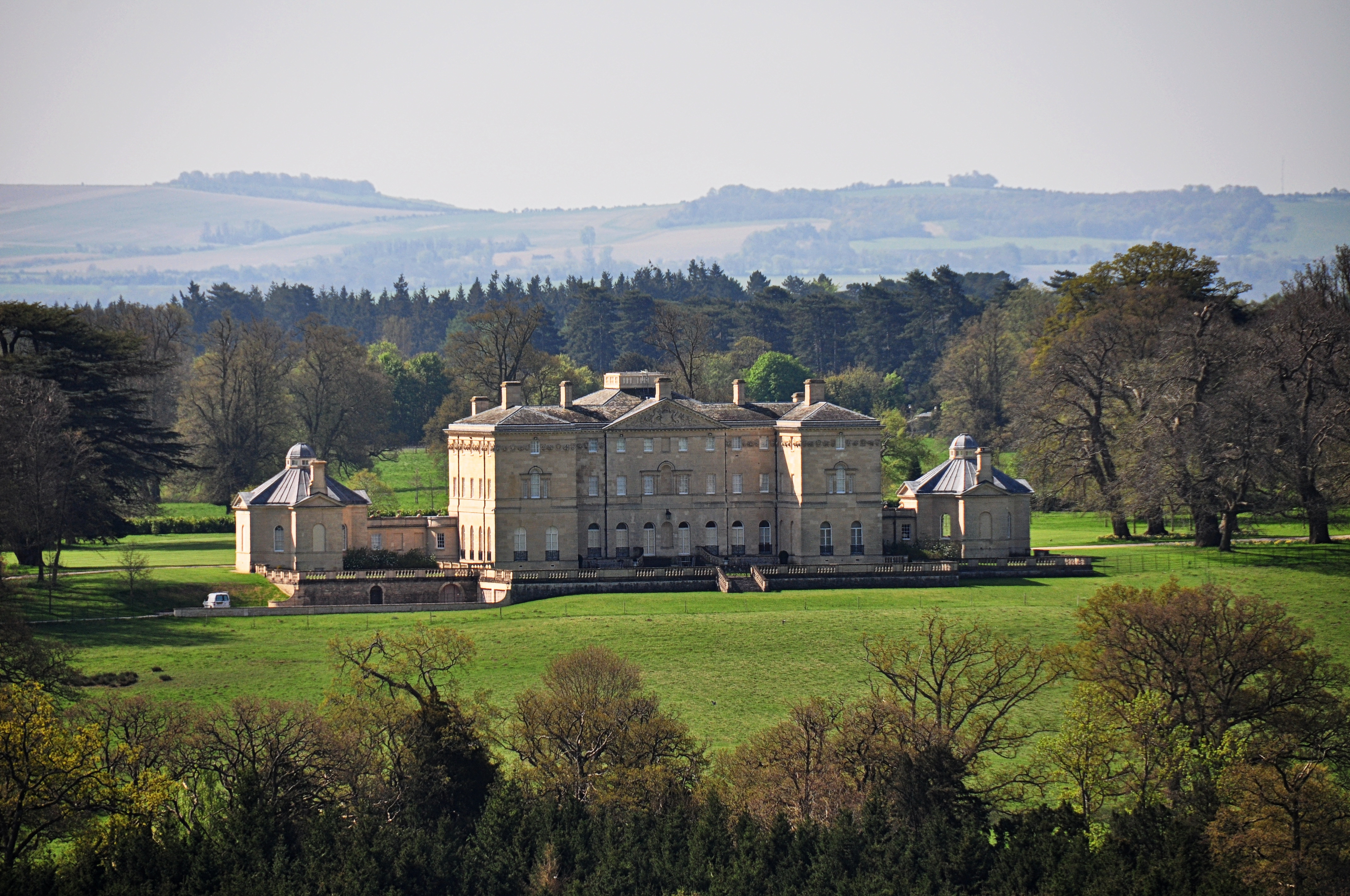
Buckland House
Buckland House is a large Georgian stately home, the manor house of Buckland in Oxfordshire, England (formerly in Berkshire). It is a masterpiece of Palladian...

Buckland, Oxfordshire
Buckland is a village and large civil parish about 4 miles (6.4 km) northeast of Faringdon in the Vale of White Horse District. Buckland was part of Berkshire...
Nearby Amenities
Located within 500m of 51.693178,-1.517411Have you been to Buckland Marsh?
Leave your review of Buckland Marsh below (or comments, questions and feedback).