Wasperton

Civil Parish in Warwickshire Warwick

England

Wasperton

Junction on A429 Turning is part of one of the bus routes between Warwick and Stratford-upon-Avon
Junction on A429 Credit: Clint Mann

Wasperton is a civil parish located in Warwickshire, England. It is situated approximately 7 miles south of Warwick and 3 miles north of Stratford-upon-Avon. The parish covers an area of around 6 square miles and is home to a small population of approximately 200 residents.

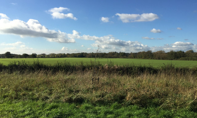
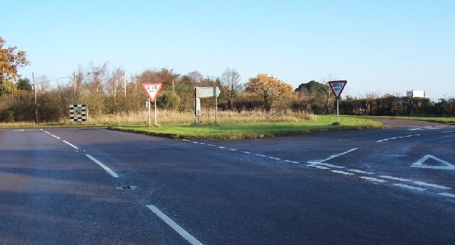
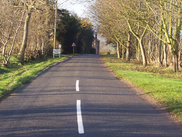
The village of Wasperton is nestled in a picturesque countryside setting, surrounded by rolling hills and fields. The River Avon flows through the parish, adding to the natural beauty of the area. The landscape is predominantly rural, with a mix of farmland and woodland.

Wasperton is known for its rich history, with archaeological evidence suggesting that the area has been inhabited since Roman times. The village is home to several historic buildings, including St. John the Baptist Church, which dates back to the 12th century and is a Grade I listed structure. The church features a beautiful medieval tower and is a prominent landmark in the parish.

Despite its small size, Wasperton has a close-knit community and a strong sense of community spirit. The parish has a village hall, which serves as a hub for various community activities and events. The village also has a local pub, providing a meeting place for residents and visitors alike.

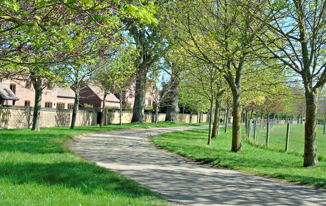
Wasperton offers a tranquil and idyllic rural lifestyle, with easy access to nearby towns and cities. It is a popular destination for those seeking a peaceful retreat in the heart of the Warwickshire countryside.

If you have any feedback on the listing, please let us know in the comments section below.

Wasperton Images

Images are sourced within 2km of 52.231297/-1.593198 or Grid Reference SP2759. Thanks to Geograph Open Source API. All images are credited.

Junction on A429 Turning is part of one of the bus routes between Warwick and Stratford-upon-Avon
Junction on A429
Turning is part of one of the bus routes between Warwick and Stratford-upon-Avon
A429 road junction near Charlecote Park A429 heading north; the road off to the left takes traffic to NT Charlecote Park and the nearby village of Hampton Lucy.
A429 road junction near Charlecote Park
A429 heading north; the road off to the left takes traffic to NT Charlecote Park and the nearby village of Hampton Lucy.
Wasperton Church St John the Baptist.
Wasperton Church
St John the Baptist.
Line of a brook, a footpath and a field boundary north of Wellesbourne Flat land in the Avon Valley, part of the University of Warwick's Wellesbourne Campus, still shown on the 1:25 000 map as Horticulture Research International. The view is from an X17 Stratford-Warwick bus on the A429.
Line of a brook, a footpath and a field boundary north of Wellesbourne
Flat land in the Avon Valley, part of the University of Warwick's Wellesbourne Campus, still shown on the 1:25 000 map as Horticulture Research International. The view is from an X17 Stratford-Warwick bus on the A429.
St John the Baptist, Wasperton
St John the Baptist, Wasperton: February 2019
St John the Baptist, Wasperton: tomb
St John the Baptist, Wasperton: CWGC grave Also see Miles service record <span class="nowrap"><a title="https://www.cwgc.org/find-war-dead/casualty/2715084/miles,-henry-edwin/" rel="nofollow ugc noopener" href="https://www.cwgc.org/find-war-dead/casualty/2715084/miles,-henry-edwin/">Link</a><img style="margin-left:2px;" alt="External link" title="External link - shift click to open in new window" src="https://s1.geograph.org.uk/img/external.png" width="10" height="10"/></span>
St John the Baptist, Wasperton: CWGC grave
Also see Miles service record LinkExternal link
St John the Baptist, Wasperton: rear
St John the Baptist, Wasperton: graves
Wasperton Village Hall: February 2019 A village hall is usually a building within a village which contains at least one large room, usually owned by and run for the benefit of the local community. Such a hall is typically used for a variety of public and private events, such as parish council meetings, sports club functions, local drama productions, dances, jumble sales and private parties. Village halls sometimes have charitable status. They are occasionally called the village institute rather than village hall or community centres.
Wasperton Village Hall: February 2019
A village hall is usually a building within a village which contains at least one large room, usually owned by and run for the benefit of the local community. Such a hall is typically used for a variety of public and private events, such as parish council meetings, sports club functions, local drama productions, dances, jumble sales and private parties. Village halls sometimes have charitable status. They are occasionally called the village institute rather than village hall or community centres.
Postbox in Wasperton
Road to Grove Fields Farm
Manor House Farm
Manor House Farm
Wasperton House
Wasperton House
A road maze. Charlecote is behind me.
A road maze.
Charlecote is behind me.
Wasperton no through road. Not many villages that I know of are in a no through road situation.
Wasperton no through road.
Not many villages that I know of are in a no through road situation.
Show me another place!

Wasperton is located at Grid Ref: SP2759 (Lat: 52.231297, Lng: -1.593198)

Administrative County: Warwickshire

District: Warwick

Police Authority: Warwickshire

What 3 Words

///escorting.swims.trouble. Near Wellesbourne, Warwickshire

Nearby Locations

Wasperton

Related Wikis

Thelsford Priory

Thelsford Priory is a site listed by the Historic Buildings and Monuments Commission for England. Thelsford Priory was a small house, originally of the...

Wasperton

Wasperton is a village and civil parish in the English county of Warwickshire. The population of the civil parish at the 2011 census was 153. It is on...

Barford, Warwickshire

Barford is a village and civil parish in the Warwick district of Warwickshire, England, about three miles south of Warwick. As at the 2001 census the parish...

Sherbourne, Warwickshire

Sherbourne is a village and civil parish in the Warwick district of Warwickshire, England. The population of the civil parish at the 2011 Census was 174...

Nearby Amenities

Located within 500m of 52.231297,-1.593198
Material: wood
Operator: National Grid Electricity Distribution
Operator Wikidata: Q7988183
Power: pole
Lat/Long: 52.2339863/-1.5986439
Material: wood
Operator: National Grid Electricity Distribution
Operator Wikidata: Q7988183
Power: pole
Lat/Long: 52.2330645/-1.59977
Material: wood
Operator: National Grid Electricity Distribution
Operator Wikidata: Q7988183
Power: pole
Lat/Long: 52.2347911/-1.5977114
Material: wood
Operator: National Grid Electricity Distribution
Operator Wikidata: Q7988183
Power: pole
Ref: 932113
Source: wpd_opendata
Transformer: distribution
Lat/Long: 52.2283744/-1.5886053
Material: wood
Operator: National Grid Electricity Distribution
Operator Wikidata: Q7988183
Power: pole
Source: bing
Lat/Long: 52.2289412/-1.5895629
Material: wood
Operator: National Grid Electricity Distribution
Operator Wikidata: Q7988183
Power: pole
Source: bing
Lat/Long: 52.2294776/-1.5904775
Material: wood
Operator: National Grid Electricity Distribution
Operator Wikidata: Q7988183
Power: pole
Source: bing
Lat/Long: 52.230014/-1.5913828
Material: wood
Operator: National Grid Electricity Distribution
Operator Wikidata: Q7988183
Power: pole
Source: bing
Lat/Long: 52.2305635/-1.5923323
Material: wood
Operator: National Grid Electricity Distribution
Operator Wikidata: Q7988183
Power: pole
Source: bing
Lat/Long: 52.2306662/-1.5938504
Material: wood
Operator: National Grid Electricity Distribution
Operator Wikidata: Q7988183
Power: pole
Source: bing
Lat/Long: 52.2307401/-1.5953591
Material: wood
Operator: National Grid Electricity Distribution
Operator Wikidata: Q7988183
Power: pole
Source: bing
Lat/Long: 52.2307295/-1.596774
Material: wood
Operator: National Grid Electricity Distribution
Operator Wikidata: Q7988183
Power: pole
Source: bing
Lat/Long: 52.2307073/-1.5981621
Material: wood
Operator: National Grid Electricity Distribution
Operator Wikidata: Q7988183
Power: pole
Source: bing
Lat/Long: 52.2306892/-1.5997365
The data included in this document is from www.openstreetmap.org. The data is made available under ODbL.

Have you been to Wasperton?

Leave your review of Wasperton below (or comments, questions and feedback).