Allanshaws
Settlement in Roxburghshire
Scotland
Allanshaws
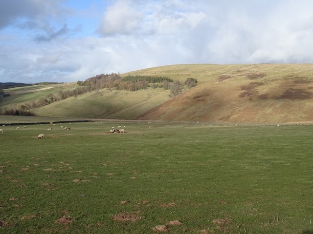
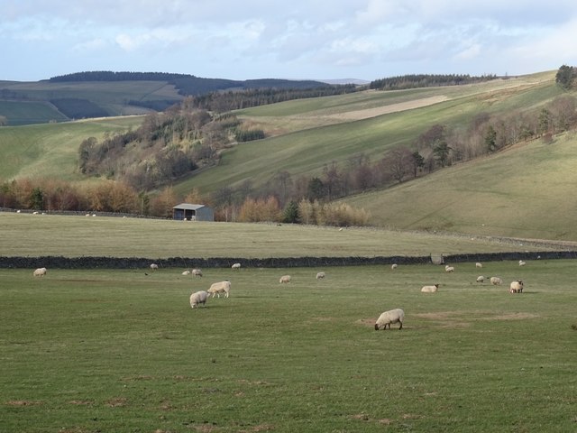
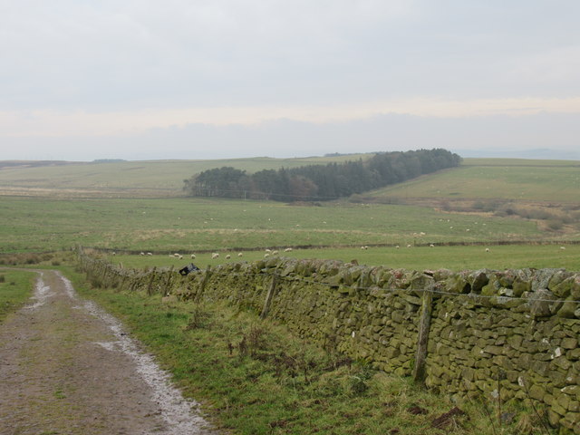
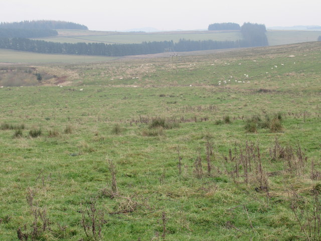
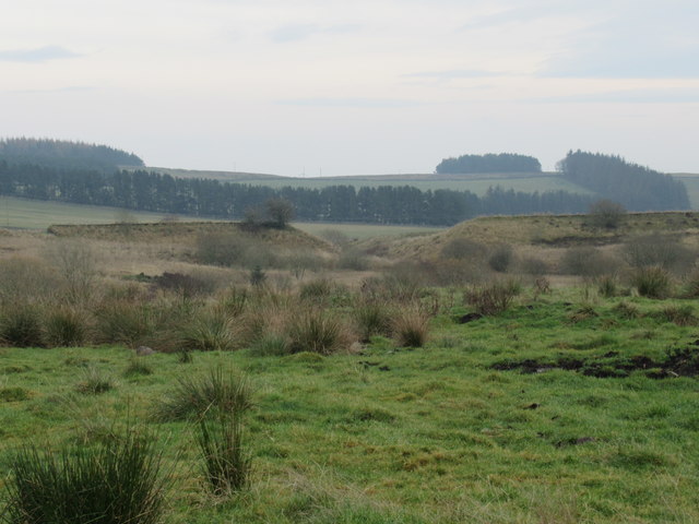
Allanshaws is a small village located in the historic county of Roxburghshire, Scotland. Situated in the Scottish Borders region, it is nestled amidst picturesque landscapes and rolling hills. The village is situated approximately 5 miles north of the town of Jedburgh, and it is surrounded by beautiful countryside scenery.
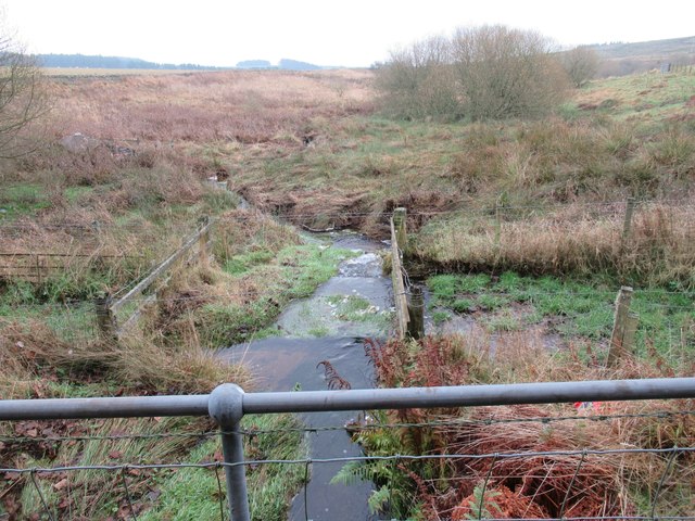
Allanshaws has a rich history dating back centuries, and its name is believed to have originated from the Allan Water, a nearby river. The village's history is closely tied to the textile industry, with the production of wool and textiles playing a significant role in its development.
Today, Allanshaws is a tranquil and close-knit community, offering a peaceful countryside retreat for its residents. The village is primarily residential, with a small number of houses and cottages dotting the landscape. There are no major amenities or commercial establishments within the village itself, but nearby towns provide access to essential services and amenities.
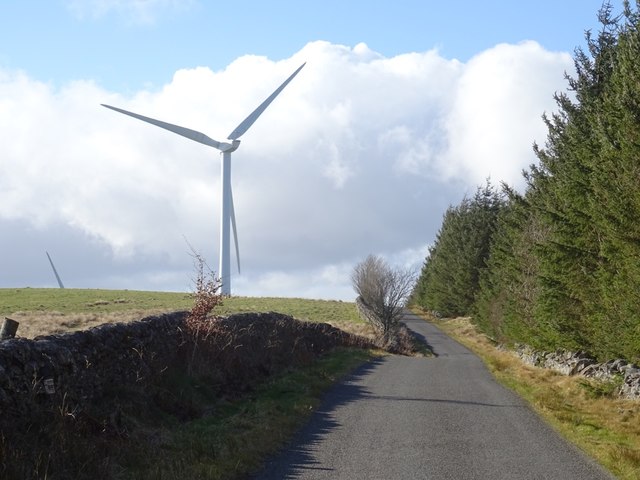
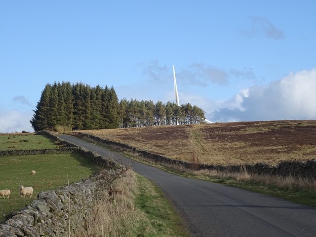
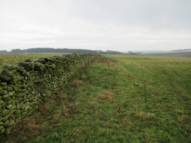
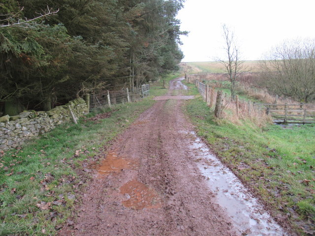
Nature enthusiasts and outdoor lovers are drawn to Allanshaws due to its proximity to several scenic spots and walking trails. The surrounding countryside offers ample opportunities for hiking, cycling, and wildlife spotting. The village also benefits from its location near the Borders Abbeys Way, a popular long-distance walking route that connects several historical abbeys in the area.
Overall, Allanshaws is a charming village that showcases the beauty of rural Scotland. Its peaceful setting, rich history, and natural surroundings make it an attractive destination for those seeking a quiet retreat away from the bustling city life.
If you have any feedback on the listing, please let us know in the comments section below.
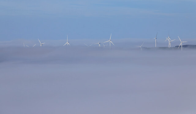
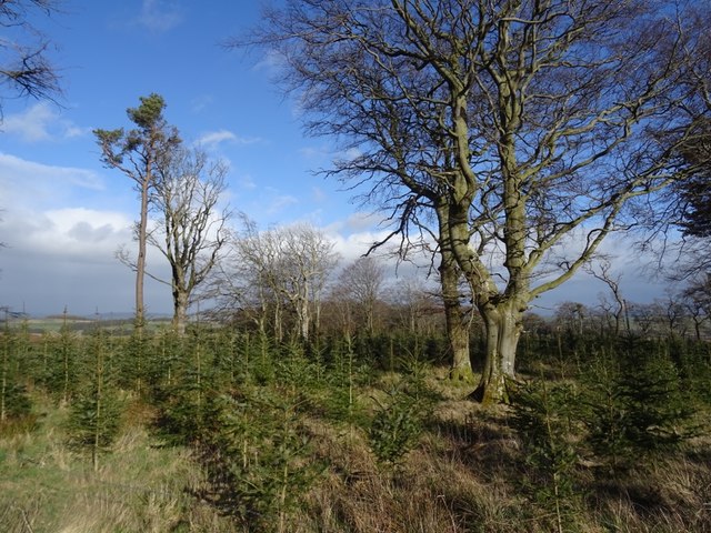
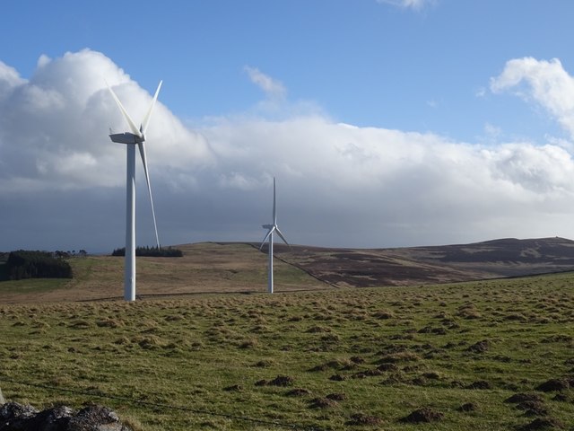
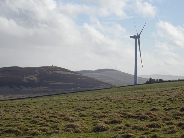
Allanshaws Images
Images are sourced within 2km of 55.677797/-2.8125449 or Grid Reference NT4943. Thanks to Geograph Open Source API. All images are credited.


Allanshaws is located at Grid Ref: NT4943 (Lat: 55.677797, Lng: -2.8125449)
Unitary Authority: The Scottish Borders
Police Authority: The Lothians and Scottish Borders
What 3 Words
///meaty.honey.halt. Near Lauder, Scottish Borders
Nearby Locations
Related Wikis

Allanshaws
Allanshaws is a place and farm off the B6362, in Lauderdale, by the Allan Water, in the parish of Melrose in the Scottish Borders area of Scotland, formerly...

Bow Castle Broch
Bow Castle is the remains of an iron-age broch near the Gala Water, in the Scottish Borders area of Scotland, in the parish of Stow. It is a scheduled...

Stow of Wedale Town Hall
Stow of Wedale Town Hall is a municipal building in Earlston Road, Stow of Wedale, Scottish Borders, Scotland. The structure, which serves as a community...

Stow of Wedale
Stow of Wedale, or more often Stow, is a village in the Scottish Borders area of Scotland (historically Midlothian), 7 miles (11 kilometres) north of...
Stow railway station
Stow is a railway station on the Borders Railway, which runs between Edinburgh Waverley and Tweedbank. The station, situated 26 miles 45 chains (43 km...

Buckholm
Buckholm is a farm near to the A7, in the Scottish Borders, Galashiels area of Scotland. Places nearby include Abbotsford, the Bow Castle Broch, Clovenfords...

Bowland railway station
Bowland railway station (Bowland Bridge between May 1849 and July 1862) was a railway station in the village of Bowland, near Galashiels, Scotland. Located...

Bowshank
Bowshank is a village in the Scottish Borders area of Scotland, close to the A7, beside the Gala Water. Nearby are Bow Castle Broch, as well as Buckholm...
Nearby Amenities
Located within 500m of 55.677797,-2.8125449Have you been to Allanshaws?
Leave your review of Allanshaws below (or comments, questions and feedback).