Walton

Civil Parish in Somerset Mendip

England

Walton

Butleigh Moor A view south over Butleigh Moor, taken from Butleigh Drove.  Pedwill Hill in the distance.
Butleigh Moor Credit: Kevin Pearson

Walton is a civil parish located in the county of Somerset, England. Situated in the Mendip Hills, it forms part of the Mendip district. The parish covers an area of approximately 3.5 square kilometers and has a population of around 800 residents.

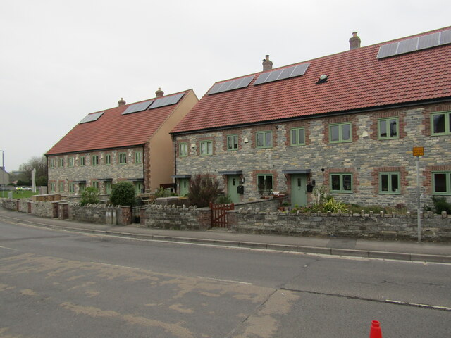
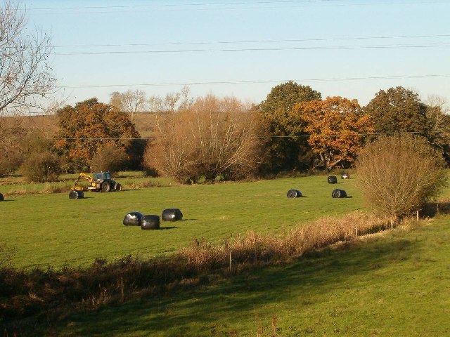
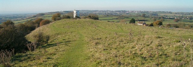
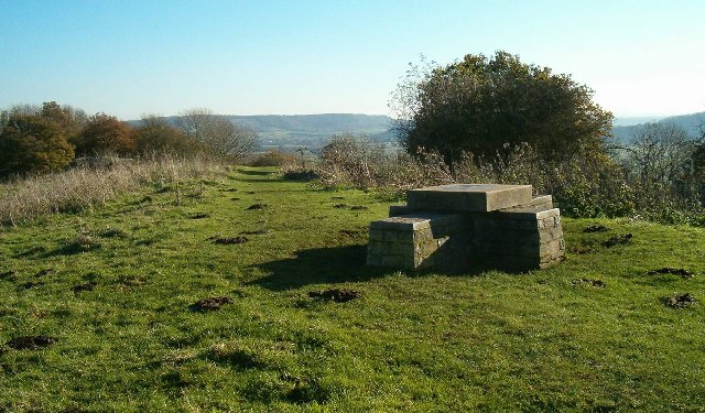
The village of Walton is small and picturesque, offering a charming rural setting with beautiful countryside views. It is surrounded by rolling hills, fields, and woodlands, providing ample opportunities for outdoor activities such as walking, hiking, and cycling.

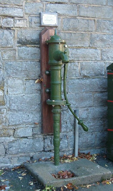
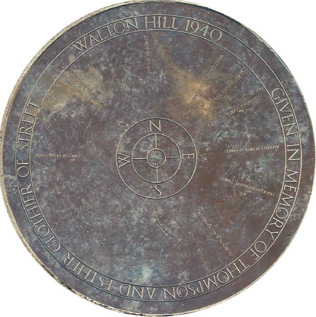
The parish is known for its historical significance, with evidence of settlement dating back to the Bronze Age. The area is dotted with ancient burial mounds and earthworks, showcasing its rich heritage.

In terms of amenities, Walton offers a range of facilities to cater to the needs of its residents. These include a village hall, a primary school, and a local pub, providing a sense of community and social interaction.

The parish is well-connected to nearby towns and cities, with easy access to major road networks. The city of Wells is approximately 7 miles away, while Bristol and Bath can be reached within an hour's drive.

Overall, Walton offers a tranquil and idyllic setting for those seeking a peaceful countryside lifestyle. Its rich history, natural beauty, and strong sense of community make it an attractive place to live or visit for nature enthusiasts and history buffs.

If you have any feedback on the listing, please let us know in the comments section below.
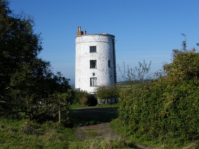
Walton Images

Images are sourced within 2km of 51.115592/-2.770035 or Grid Reference ST4635. Thanks to Geograph Open Source API. All images are credited.

Butleigh Moor A view south over Butleigh Moor, taken from Butleigh Drove.  Pedwill Hill in the distance.
Butleigh Moor
A view south over Butleigh Moor, taken from Butleigh Drove. Pedwill Hill in the distance.
Old Milestone, A39, Main Street, West of Walton The milestone was located near Lynch Farm on the grass verge on the north side of the road. Parish of Walton (Mendip district). Cast iron post, plated iron casting design, erected by the Bridgwater turnpike trust in the 19th century.  The date of the image is not known but it was taken before the milestone went missing sometime between 2000 and 2002.

Inscription reads: 
WELLS / 10 /GLASTONBURY / 4 /B. WATER / 10 ; LINCH FARM painted on front edge 

Grade II Listed, List Entry Number: 1058721
<span class="nowrap"><a title="https://historicengland.org.uk/listing/the-list/list-entry/1058721" rel="nofollow ugc noopener" href="https://historicengland.org.uk/listing/the-list/list-entry/1058721">Link</a><img style="margin-left:2px;" alt="External link" title="External link - shift click to open in new window" src="https://s1.geograph.org.uk/img/external.png" width="10" height="10"/></span>

Milestone Society National ID: SO_BWWL10
Old Milestone, A39, Main Street, West of Walton
The milestone was located near Lynch Farm on the grass verge on the north side of the road. Parish of Walton (Mendip district). Cast iron post, plated iron casting design, erected by the Bridgwater turnpike trust in the 19th century. The date of the image is not known but it was taken before the milestone went missing sometime between 2000 and 2002. Inscription reads: WELLS / 10 /GLASTONBURY / 4 /B. WATER / 10 ; LINCH FARM painted on front edge Grade II Listed, List Entry Number: 1058721 LinkExternal link Milestone Society National ID: SO_BWWL10
Street - High Street Distinctive houses at the west end of the High Street in the factory town of Street, notable for Clark's shoes.
Street - High Street
Distinctive houses at the west end of the High Street in the factory town of Street, notable for Clark's shoes.
The disused Walton Gateway pub on the A39
The Royal Oak pub and car park on the A39
Entrance to Abbots Sharpham, footpath to the right
Walton : Broughton Close A road off the A39.
Walton : Broughton Close
A road off the A39.
Walton : SsangYong Rowcliffes A car dealership on Quarry Batch.
Walton : SsangYong Rowcliffes
A car dealership on Quarry Batch.
Street : Quarry Batch A39 A road crossing on the A39.
Street : Quarry Batch A39
A road crossing on the A39.
Village Hall, Walton
Small Moor, Walton
Small Moor, Walton
Towards Ben Ash Farm, Walton
Parish Church, Walton
Restored Pump, Walton
Farmland at Bramble Hill, Walton
Converted Windmill, Walton Hill
Viewpoint on Walton Hill
Topograph at Walton Hill
Show me another place!

Walton is located at Grid Ref: ST4635 (Lat: 51.115592, Lng: -2.770035)

Administrative County: Somerset

District: Mendip

Police Authority: Avon and Somerset

What 3 Words

///think.excusing.receive. Near Street, Somerset

Nearby Locations

Walton Polden Hills

Related Wikis

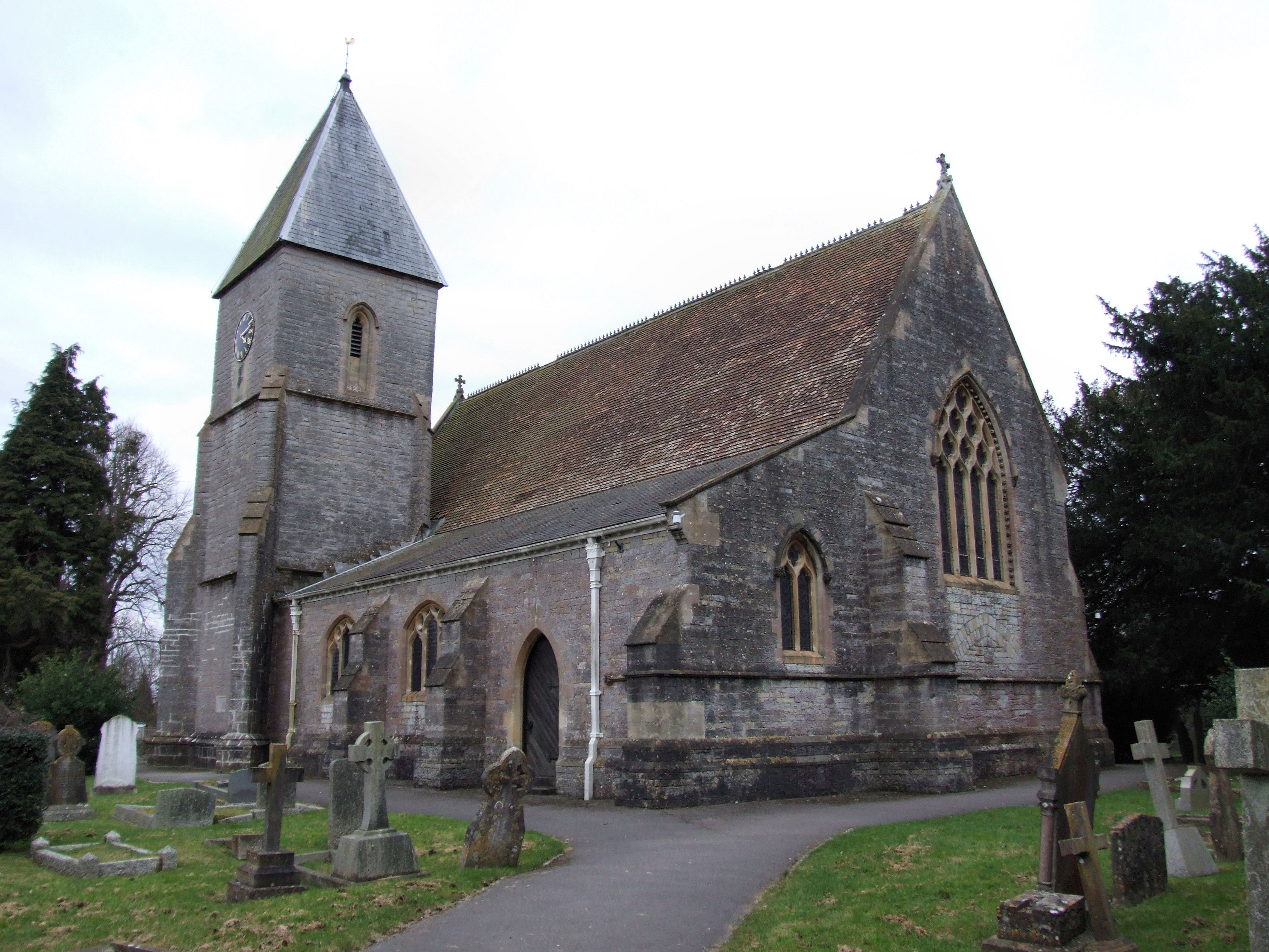
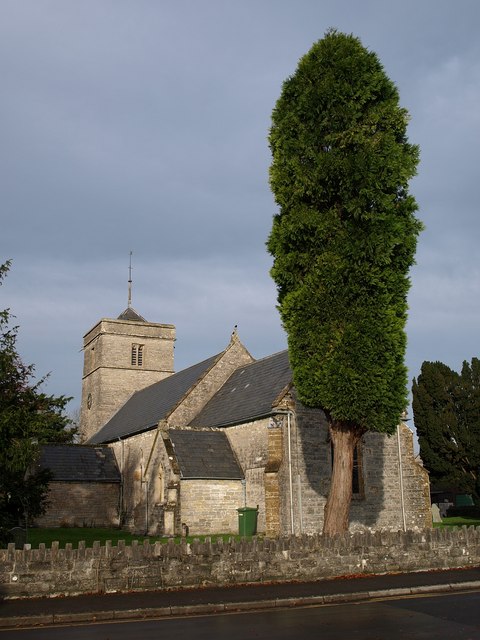
Holy Trinity Church, Walton

Holy Trinity Church is a Church of England church in Walton, Somerset, England. It was rebuilt in 1865–66 to the design of Rev. J. F. Turner and is a Grade...

Walton, Somerset

Walton is a village and civil parish on the Polden Hills in Somerset, England, 1.5 miles (2.4 km) west of Street. The parish includes the hamlet of Asney...

Walton and Ivythorn Hills

Walton and Ivythorn Hills is a 34.9 hectares (86 acres) biological Site of Special Scientific Interest near Street at the south-eastern end of the Polden...

Street F.C.

Street Football Club are a football club based in Street in Somerset, England. They are currently members of the Western League Premier Division and play...

Street Mission Church

Street Mission Church is a Church of England church in Street, Somerset, England. The church was built in 1990 on the site of an earlier tin tabernacle...

United Reformed Church, Street

The United Reformed Church (originally known as the Congregational Chapel) is a United Reformed Church in Street, Somerset, England. It was designed by...

Sharpham

Sharpham is a village and civil parish on the Somerset Levels near Street and Glastonbury in the Mendip district of Somerset, England. It is located near...

Street, Somerset

Street is a large village and civil parish in Somerset, England, with a population of 11,805 in 2011. On a dry spot in the Somerset Levels, at the end...

Nearby Amenities

Located within 500m of 51.115592,-2.770035
Communication Mobile Phone: yes
Man Made: mast
Tower Type: communication
Lat/Long: 51.1177303/-2.7654975
Communication Mobile Phone: yes
Man Made: mast
Tower Type: communication
Lat/Long: 51.1179814/-2.7658017
The data included in this document is from www.openstreetmap.org. The data is made available under ODbL.

Have you been to Walton?

Leave your review of Walton below (or comments, questions and feedback).