Wales
Civil Parish in Yorkshire Rotherham
England
Wales
Wales, Yorkshire is a civil parish located in the county of South Yorkshire, England. Situated approximately 8 miles east of the city of Sheffield, this small village is part of the Metropolitan Borough of Rotherham. Wales is set amidst picturesque countryside, offering residents and visitors a tranquil and scenic environment.
The village of Wales has a rich history dating back to medieval times, and evidence of ancient settlements can still be seen in the form of earthworks and burial mounds. The area is also known for its connections to the coal mining industry, which played a significant role in the local economy during the 19th and 20th centuries.
Wales is a close-knit community with a population of around 1,500 people. The village boasts a range of amenities, including a primary school, a village hall, and a local pub. The surrounding countryside offers ample opportunities for outdoor activities such as hiking, cycling, and birdwatching.
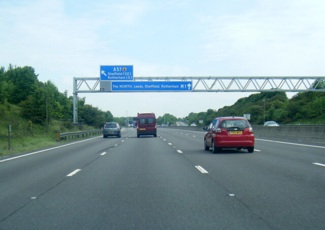
In terms of transport links, Wales is well-connected to nearby towns and cities. The M1 motorway is easily accessible, providing convenient access to Sheffield, Leeds, and other major cities in the region. The village is also served by regular bus services, allowing residents to travel to nearby areas without the need for a car.
Overall, Wales, Yorkshire is a peaceful village with a rich history and a strong sense of community. Its idyllic location and range of amenities make it an attractive place to live for those seeking a rural lifestyle within easy reach of urban centers.
If you have any feedback on the listing, please let us know in the comments section below.
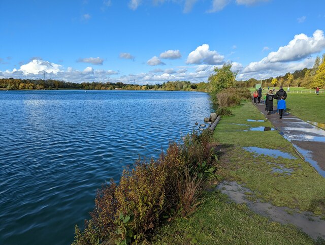
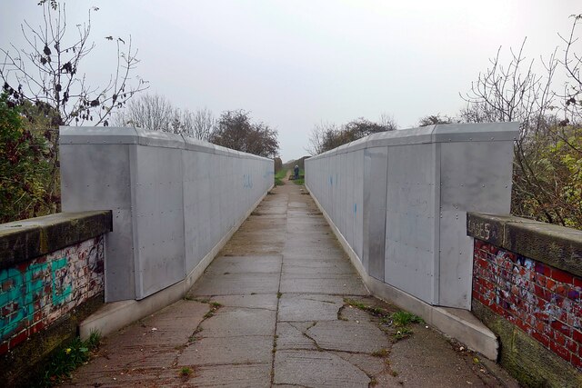
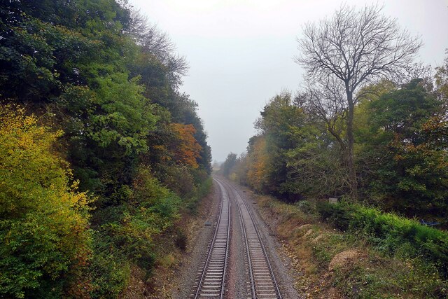
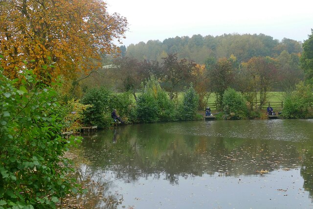
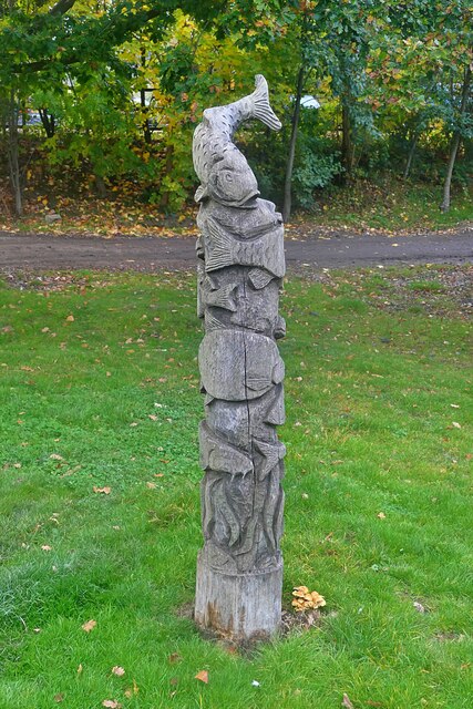
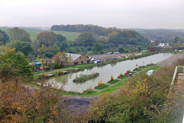
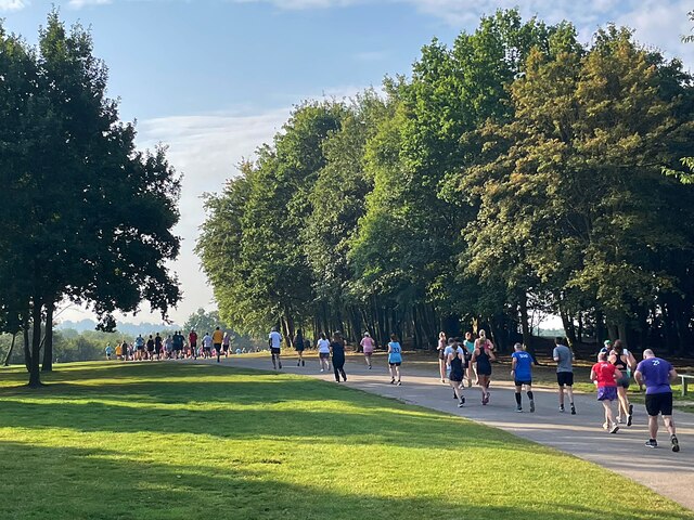
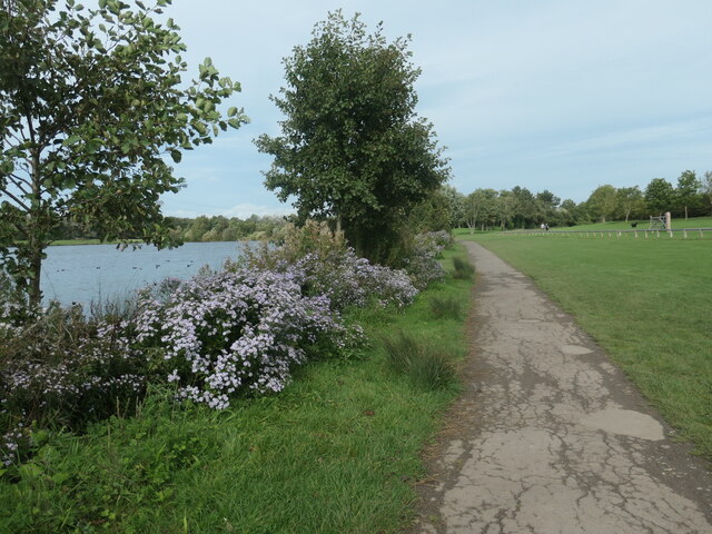
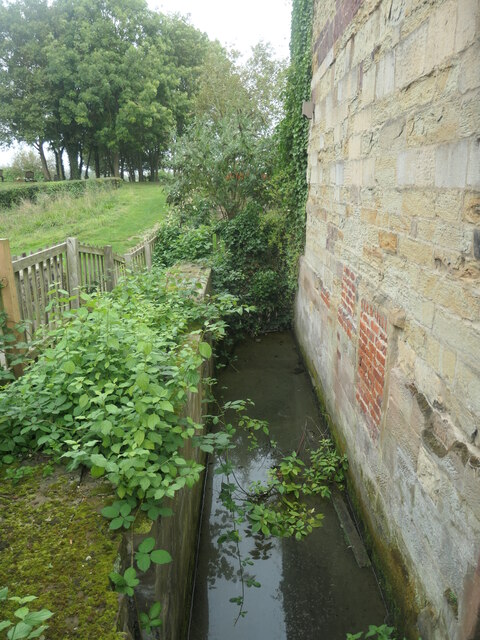
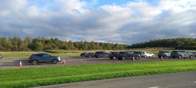
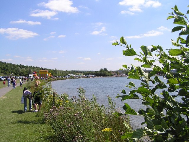
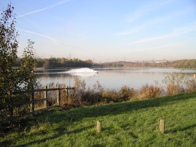
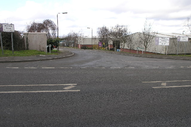
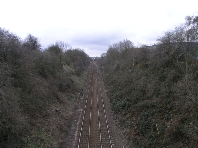
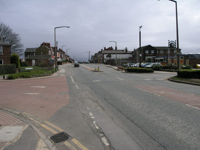
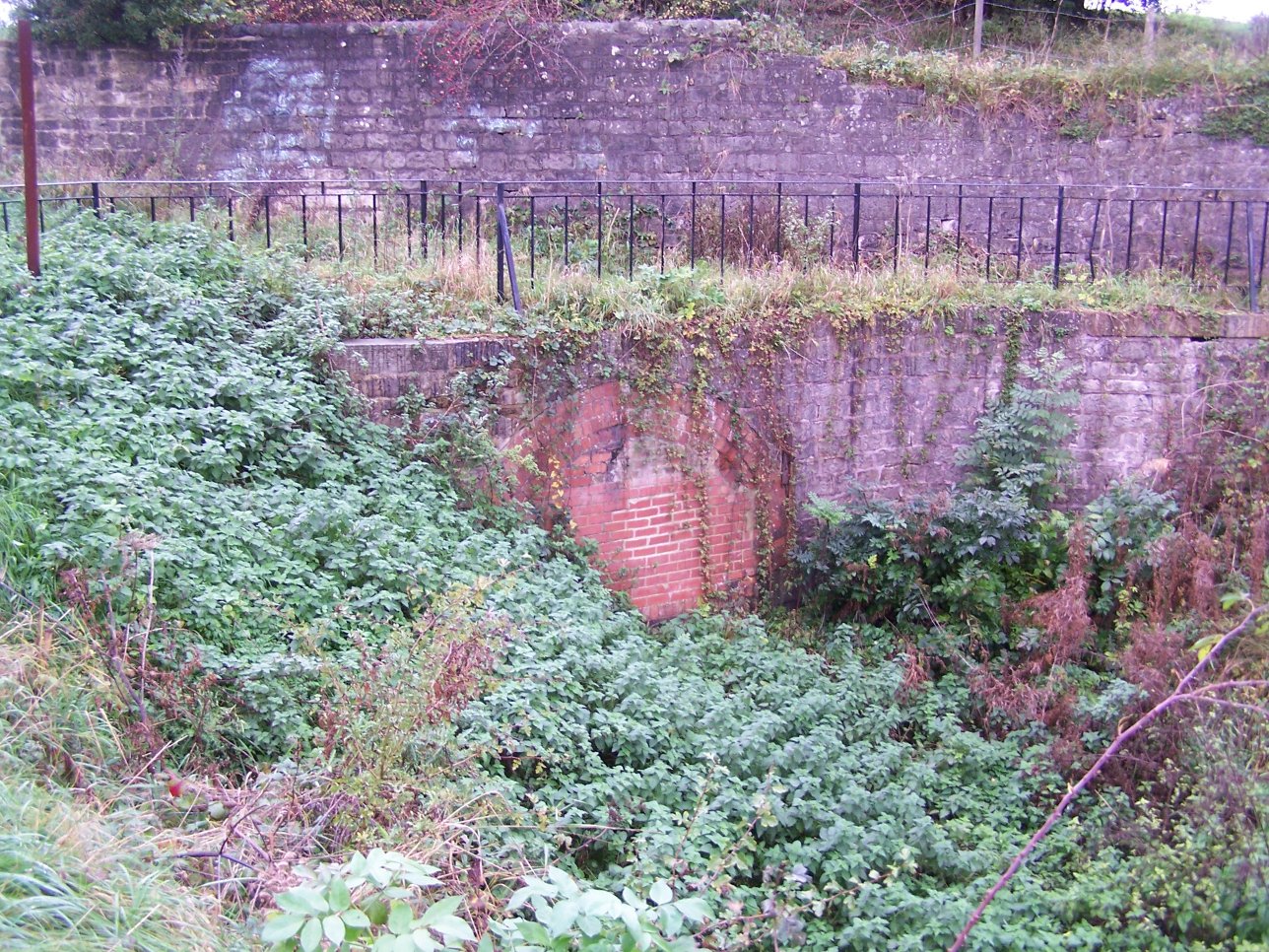
Wales Images
Images are sourced within 2km of 53.341105/-1.290959 or Grid Reference SK4782. Thanks to Geograph Open Source API. All images are credited.
Wales is located at Grid Ref: SK4782 (Lat: 53.341105, Lng: -1.290959)
Division: West Riding
Administrative County: South Yorkshire
District: Rotherham
Police Authority: South Yorkshire
What 3 Words
///alright.chatters.excusing. Near Wales, South Yorkshire
Related Wikis

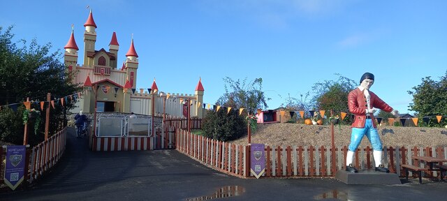
Gulliver's Valley
Gulliver's Valley is a theme park and resort located in Rotherham, England. Construction began in 2018 at a planned cost of £37 million. The first phase...
Wales High School
Wales High School is an academy school for 11- to 19-year-olds, in Kiveton, near Rotherham, South Yorkshire, England. Opened in 1970, the school provides...
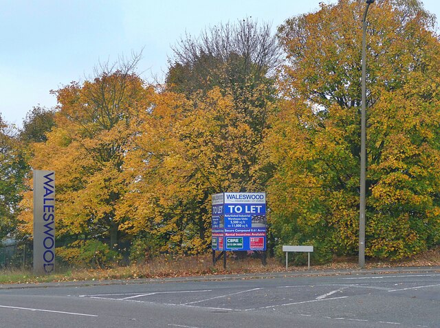
Waleswood Colliery
Waleswood Colliery was a coal mine situated between Swallownest and Wales Bar, near Rotherham, South Yorkshire, England. The colliery was adjacent to the...
Waleswood railway station
Waleswood railway station is a former railway station on the Great Central Railway's main line between Sheffield Victoria and Worksop, England. The station...

Wales, South Yorkshire
Wales is a village and a civil parish in the Metropolitan Borough of Rotherham in South Yorkshire, England. Historically part of the West Riding of Yorkshire...
Norwood Tunnel
Norwood Tunnel was a 2,884-yard-long (1.639 mi; 2,637 m), 9-foot-3-inch-wide (2.82 m) and 12-foot-high (3.7 m) brick (3 million of them) lined canal tunnel...

Kiveton Bridge railway station
Kiveton Bridge railway station serves the village of Kiveton Park in South Yorkshire, England. It also served the now closed Kiveton Park Colliery which...

Kiveton Park Colliery
Kiveton Park Colliery was a coal mine in the village of Kiveton Park, near Rotherham, South Yorkshire, England. == History == Until 1845, Kiveton was a...
Nearby Amenities
Located within 500m of 53.341105,-1.290959Have you been to Wales?
Leave your review of Wales below (or comments, questions and feedback).