Wakes Colne
Civil Parish in Essex Colchester
England
Wakes Colne
Wakes Colne is a civil parish located in the county of Essex, England. Situated approximately 12 miles west of Colchester, the parish covers an area of around 6 square miles. It is a rural area with a population of approximately 1,500 residents.
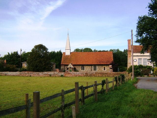
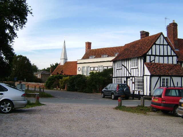
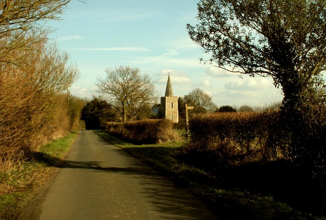
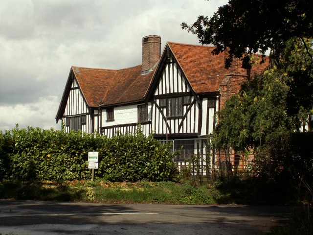
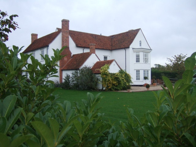
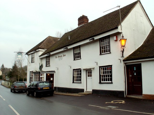
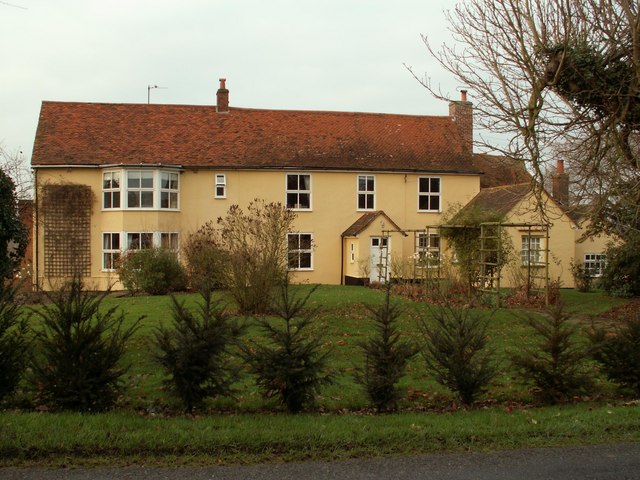
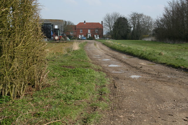
The village of Wakes Colne itself is small and picturesque, with a charming mix of old and new buildings. Many of the houses date back to the 17th and 18th centuries, giving the village a historic feel. The parish also includes the hamlets of Chappel and Ford Street.
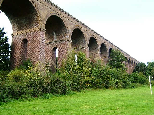
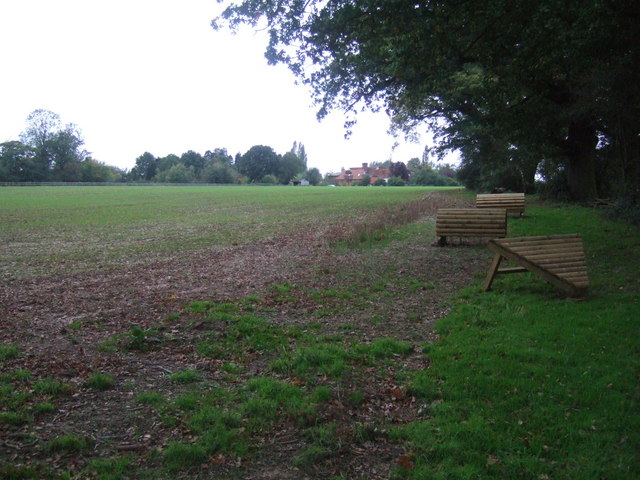
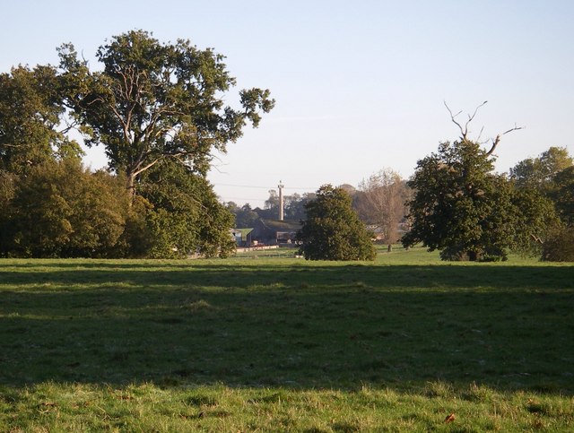
The area is known for its beautiful countryside, with rolling hills and scenic landscapes surrounding the village. There are several footpaths and bridleways that allow residents and visitors to explore the natural beauty of the area. Chappel Viaduct, a notable landmark, is a popular spot for walkers and photographers.
Wakes Colne has a strong sense of community, with various social activities and events taking place throughout the year. The village has a primary school, a village hall, and a local pub, providing essential amenities for its residents.
The transportation links in Wakes Colne are relatively good, with regular bus services connecting the village to nearby towns and cities. The A1124 road runs through the parish, providing easy access to Colchester and other major destinations.
In summary, Wakes Colne is a charming and rural civil parish in Essex, offering a peaceful and picturesque living environment for its residents.
If you have any feedback on the listing, please let us know in the comments section below.
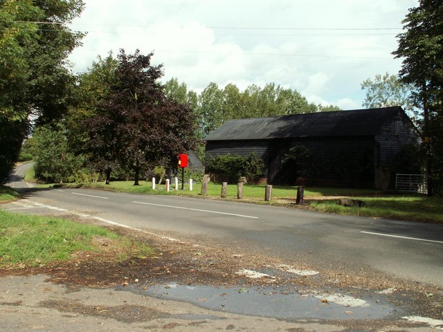
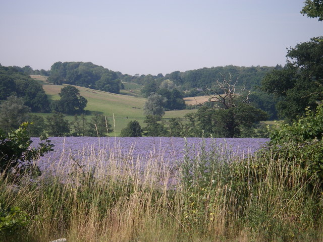
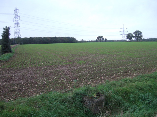
Wakes Colne Images
Images are sourced within 2km of 51.937958/0.748342 or Grid Reference TL8930. Thanks to Geograph Open Source API. All images are credited.
Wakes Colne is located at Grid Ref: TL8930 (Lat: 51.937958, Lng: 0.748342)
Administrative County: Essex
District: Colchester
Police Authority: Essex
What 3 Words
///cheesy.member.marsh. Near Earls Colne, Essex
Nearby Locations
Related Wikis
East Anglian Railway Museum
The East Anglian Railway Museum is located at Chappel and Wakes Colne railway station in Essex, England, which is situated on the former Great Eastern...
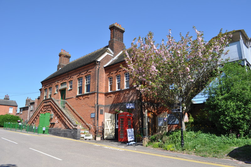
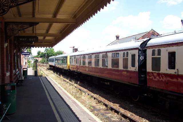
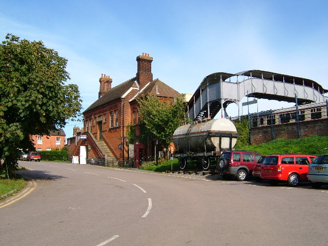
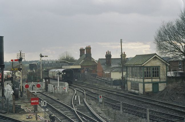
Chappel & Wakes Colne railway station
Chappel & Wakes Colne railway station is on the Gainsborough Line, a branch to Sudbury off the Great Eastern Main Line, in the East of England, serving...

Wakes Colne
Wakes Colne is a village in Essex, England which sits on the River Colne. It is situated next to the village of Chappel, with which it shares Chappel and...

White Colne
White Colne is a village and parish in Essex, England, on the north side of the River Colne, opposite Earls Colne, and on the Colchester road, 4 miles...

Mount Bures
Mount Bures is a small village in England on the Essex and Suffolk borders. It takes its name from the mount or motte believed to have been built shortly...

Sergeants Orchard
Sergeants Orchard is a 3.2-hectare (7.9-acre) nature reserve in Mount Bures and north of Chappel in Essex. It is owned and managed by the Essex Wildlife...

Chappel Viaduct
The Chappel Viaduct is a railway viaduct that crosses the River Colne in the Colne Valley in Essex, England. It carries the Gainsborough Line which now...

White Colne railway station
White Colne railway station was located in White Colne, Essex. It was 52 miles 38 chains (84.45 km) from London Liverpool Street via Marks Tey. == References... ==
Nearby Amenities
Located within 500m of 51.937958,0.748342Have you been to Wakes Colne?
Leave your review of Wakes Colne below (or comments, questions and feedback).