Verwood
Civil Parish in Dorset East Dorset
England
Verwood

Verwood is a civil parish located in the county of Dorset, England. Situated on the eastern edge of the county, it lies approximately 15 miles northeast of the town of Bournemouth and 20 miles northwest of Southampton. Verwood is part of the East Dorset district and covers an area of around 12 square miles.
The parish is primarily a residential area, comprised of a mixture of housing types including detached houses, bungalows, and some apartment blocks. The population of Verwood is estimated to be around 15,000 people.
Verwood is known for its picturesque surroundings, with the parish being situated close to the New Forest National Park and the Cranborne Chase Area of Outstanding Natural Beauty. This makes it an attractive location for outdoor enthusiasts, with plenty of opportunities for walking, cycling, and horse riding.
The town center features a range of amenities including shops, supermarkets, and local businesses, providing residents with all their daily needs. Verwood also boasts a number of primary and secondary schools, making it an appealing place for families.
Transport links in Verwood are good, with regular bus services connecting the parish to surrounding towns and villages. The nearby A31 road provides easy access to larger cities such as Bournemouth and Southampton.
Overall, Verwood offers a pleasant and tranquil living environment with its beautiful natural surroundings and convenient amenities.
If you have any feedback on the listing, please let us know in the comments section below.
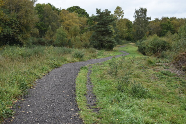
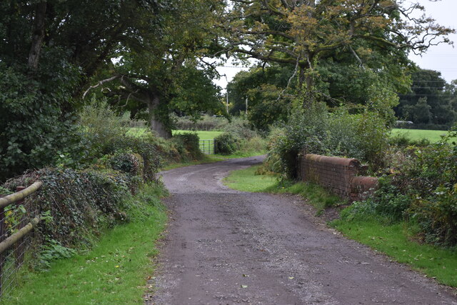
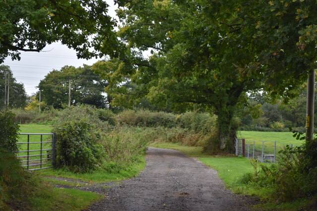
Verwood Images
Images are sourced within 2km of 50.868929/-1.870023 or Grid Reference SU0907. Thanks to Geograph Open Source API. All images are credited.


Verwood is located at Grid Ref: SU0907 (Lat: 50.868929, Lng: -1.870023)
Administrative County: Dorset
District: East Dorset
Police Authority: Dorset
What 3 Words
///trendy.sings.pave. Near Verwood, Dorset
Nearby Locations
Related Wikis

Verwood Town F.C.
Verwood Town Football Club are a football club based in Verwood, Dorset, England. The club is affiliated to the Dorset County Football Association and...

River Crane, Dorset
The River Crane is a river in Dorset, United Kingdom, which flows past Cranborne Manor. Near Verwood it becomes the Moors River. its name is a shortening...

Ebblake Bog
Ebblake Bog is a 11.3-hectare (28-acre) biological Site of Special Scientific Interest in Dorset and Hampshire, located west of Ringwood. It is part of...

Verwood
Verwood is a town and civil parish in eastern Dorset, England. The town lies 10 miles (16 km) north of Bournemouth and 13 miles (21 km) north east of Poole...
Related Videos
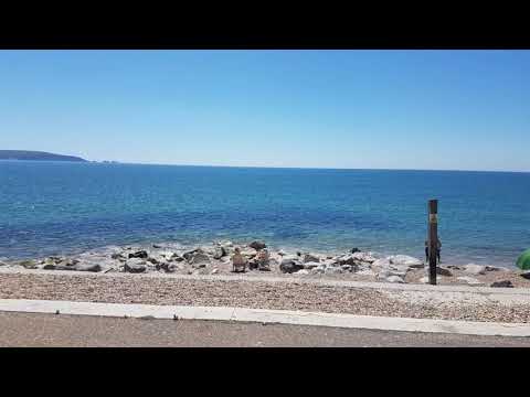
Mum, family and I
Trip to the coast, Poole quay, milford on sea, and Three legged cross pub.

UK Bonsai Association Workshop With Peter Warren
CLICK TO SEE MORE BONSAI VIDEOS - https://bit.ly/36ffPt1 Part of the The UK Bonsai Association's mission is to spread the ...
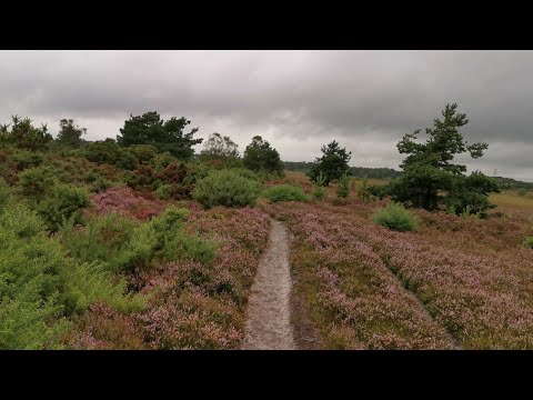
2021.08.05 #1 Lovely ramble across Holt Heath, Dorset, UK
Irene and Dave Hurr enjoy a lovely ramble accross Holt Heath, Dorset, UK.
Nearby Amenities
Located within 500m of 50.868929,-1.870023Have you been to Verwood?
Leave your review of Verwood below (or comments, questions and feedback).