Uttoxeter Rural
Civil Parish in Staffordshire East Staffordshire
England
Uttoxeter Rural
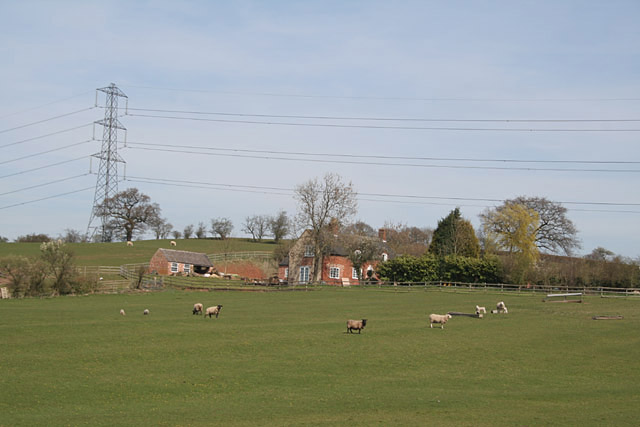
Uttoxeter Rural is a civil parish located in the county of Staffordshire, England. It covers an area of approximately 34.5 square kilometers and is situated in the East Staffordshire district. The parish is predominantly rural, characterized by rolling countryside and agricultural land.
The civil parish is located to the east of Uttoxeter town, with the River Dove forming its eastern boundary. It is surrounded by several other civil parishes, including Marchington, Doveridge, and Leigh.
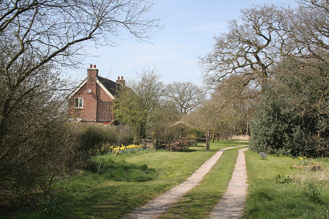
The population of Uttoxeter Rural is relatively small, with around 1,500 residents. The area is primarily residential, with a mix of housing types including detached houses, cottages, and farmhouses. There are also a number of small settlements within the parish, such as Beamhurst, Bramshall, and Crakemarsh.
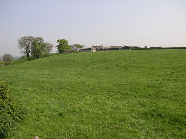
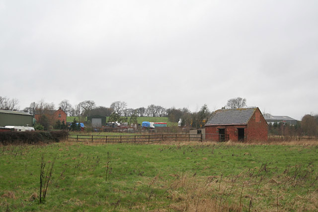
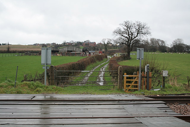
Uttoxeter Rural is known for its picturesque landscapes, with the River Dove and surrounding countryside providing opportunities for outdoor activities such as walking, cycling, and fishing. The area is also home to several farms, contributing to the local agricultural industry.
The parish has limited amenities, with the nearest town of Uttoxeter offering a wider range of services including shops, schools, and healthcare facilities. However, Uttoxeter Rural benefits from its rural setting, offering a peaceful and tranquil environment away from the hustle and bustle of urban life.
If you have any feedback on the listing, please let us know in the comments section below.
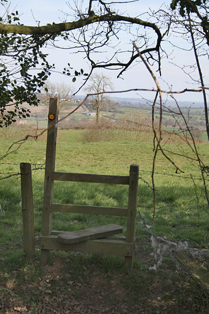
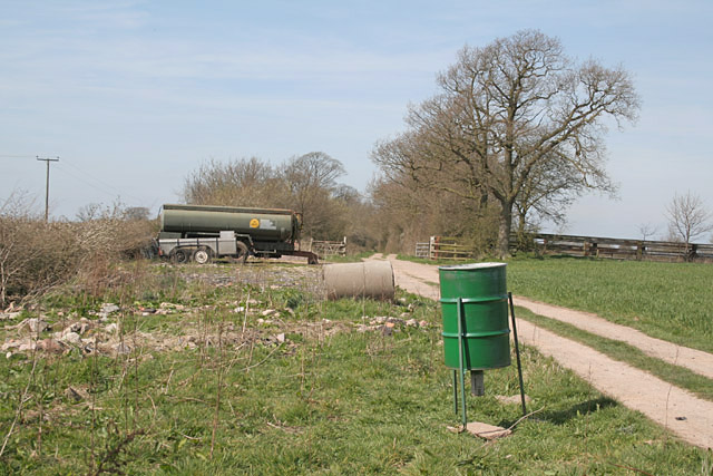
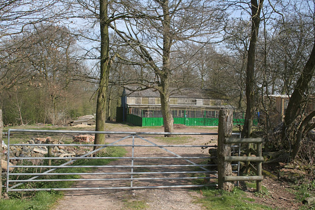
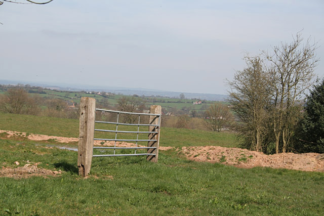
Uttoxeter Rural Images
Images are sourced within 2km of 52.893609/-1.919448 or Grid Reference SK0532. Thanks to Geograph Open Source API. All images are credited.


Uttoxeter Rural is located at Grid Ref: SK0532 (Lat: 52.893609, Lng: -1.919448)
Administrative County: Staffordshire
District: East Staffordshire
Police Authority: Staffordshire
What 3 Words
///soldiers.bubble.octagon. Near Uttoxeter, Staffordshire
Nearby Locations
Related Wikis

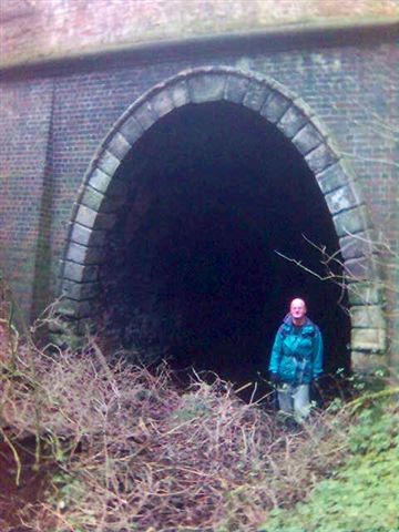
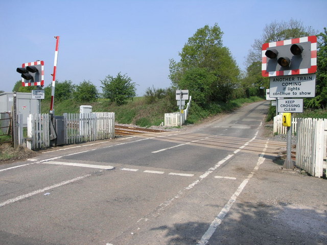
Bromshall railway station
Bromshall railway station was a short lived railway station in Staffordshire, England. The railway line between Stoke-on-Trent and Uttoxeter was opened...

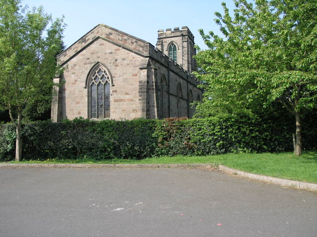
Bramshall
Bramshall is a village and former civil parish, now in the parish of Uttoxeter Rural, in the East Staffordshire district, in the county of Staffordshire...
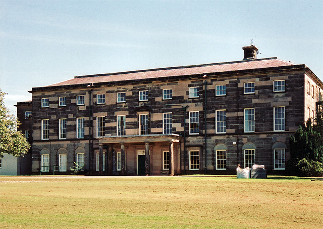
Loxley Hall
Loxley Hall is an early-19th-century country house near Uttoxeter, Staffordshire, now occupied by a Staffordshire County Council special school for boys...

Uttoxeter Rural
Uttoxeter Rural is a civil parish in the borough of East Staffordshire, Staffordshire, England, comprising the villages of Stramshall and Bramshall. It...

Gratwich
Gratwich is a village and former civil parish, now in the parish of Kingstone, in the East Staffordshire district, in the county of Staffordshire, England...
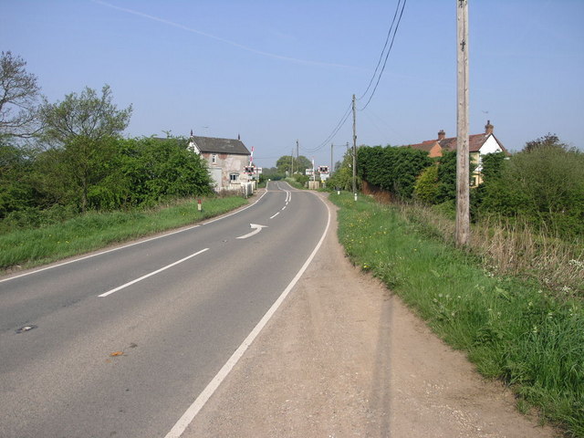
Beamhurst Lane
Beamhurst Lane is a hamlet in Uttoxeter Rural, Staffordshire, England.
Uttoxeter Town F.C.
Uttoxeter Town F.C. is an English football club based in Uttoxeter, Staffordshire. They currently play in the North West Counties League Division One...

Oldfields Ground
Oldfields Ground is a cricket ground in Uttoxeter, Staffordshire. The first recorded match on the ground was in 1905, when Staffordshire played Bedfordshire...
Nearby Amenities
Located within 500m of 52.893609,-1.919448Have you been to Uttoxeter Rural?
Leave your review of Uttoxeter Rural below (or comments, questions and feedback).