Buckie
Settlement in Banffshire
Scotland
Buckie

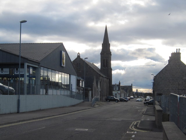
Buckie is a small coastal town located in Banffshire, Scotland. Situated on the southern shore of the Moray Firth, it lies approximately 70 miles north-west of Aberdeen. With a population of around 8,000 people, Buckie is known for its picturesque setting, rich maritime heritage, and friendly community.
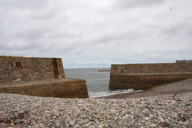
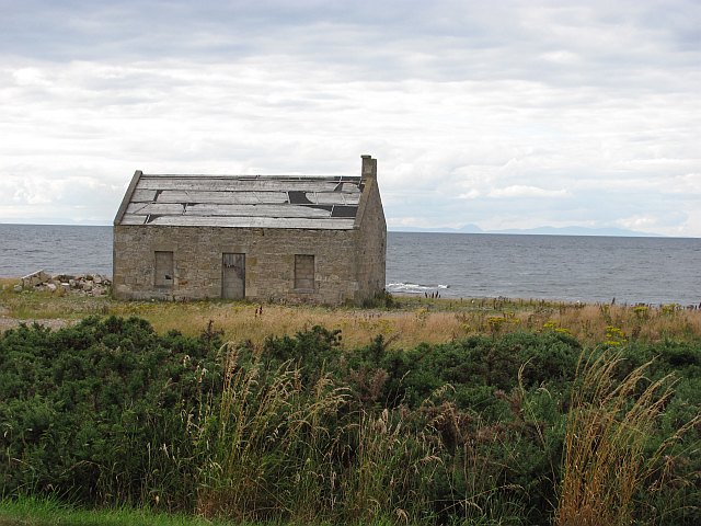
The town boasts stunning coastal views, with rugged cliffs and beautiful sandy beaches. Its proximity to the Moray Firth makes it an ideal location for water activities such as fishing, sailing, and wildlife spotting. The coastline is home to a variety of bird species, including puffins, gannets, and cormorants, making it a haven for birdwatchers.
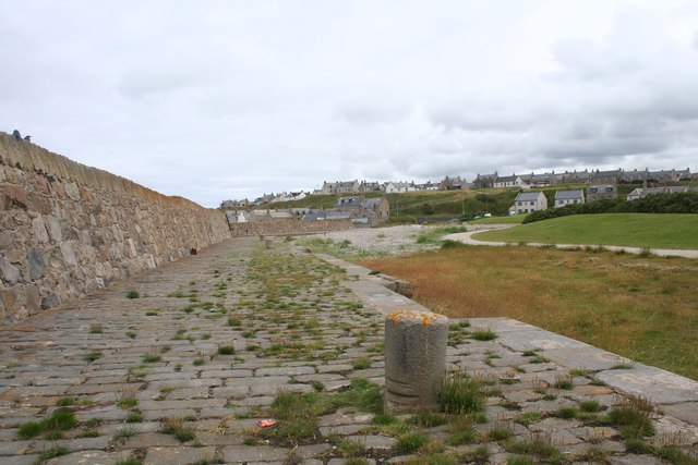
Buckie has a long history as a fishing port, and you can still see the remnants of the fishing industry in the harbor area. The Buckie Fishermen's Memorial pays tribute to the local fishermen who lost their lives at sea. The town also hosts an annual Buckie Seafest, celebrating its maritime heritage with boat races, seafood tastings, and live entertainment.
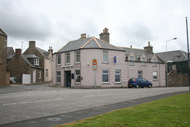
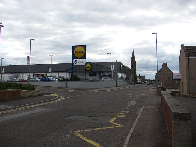
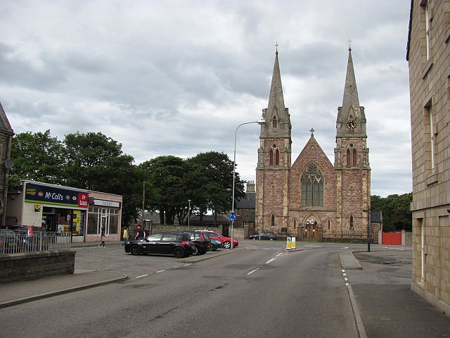
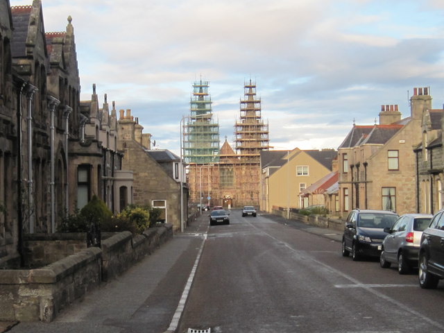
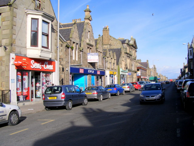
In terms of amenities, Buckie offers a range of shops, restaurants, and pubs, where visitors and locals can enjoy a taste of traditional Scottish cuisine and hospitality. The town has several parks and green spaces, providing recreational opportunities for outdoor enthusiasts.
With its charming coastal scenery, vibrant community, and historical significance, Buckie is a hidden gem in Banffshire that offers a unique experience for visitors and a welcoming environment for residents.
If you have any feedback on the listing, please let us know in the comments section below.
Buckie Images
Images are sourced within 2km of 57.676423/-2.96489 or Grid Reference NJ4265. Thanks to Geograph Open Source API. All images are credited.


Buckie is located at Grid Ref: NJ4265 (Lat: 57.676423, Lng: -2.96489)
Unitary Authority: Moray
Police Authority: North East
What 3 Words
///fluctuate.nametag.seatbelt. Near Buckie, Moray
Nearby Locations
Related Wikis
Buckie
Buckie (Scottish Gaelic: Bucaidh) is a burgh town (defined as such in 1888) on the Moray Firth coast of Scotland. Historically in Banffshire, Buckie was...
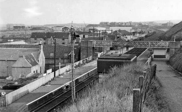
Buckie railway station
Buckie railway station was a railway station in Buckie, in current day Moray. The station was opened by the Great North of Scotland Railway (GNoSR) on...
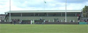
Victoria Park, Buckie
Victoria Park is a football ground in Buckie in north-east Scotland, which is the home ground of Highland Football League side Buckie Thistle. It is located...

Buckie High School
Buckie High School is a mixed secondary school in Buckie, Moray, Scotland which has a roll of around 900 pupils in years S1 to S6. The school serves the...
Nearby Amenities
Located within 500m of 57.676423,-2.96489Have you been to Buckie?
Leave your review of Buckie below (or comments, questions and feedback).