Upper Arley
Civil Parish in Staffordshire Wyre Forest
England
Upper Arley
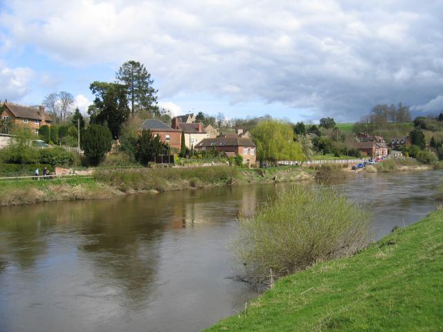
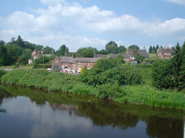
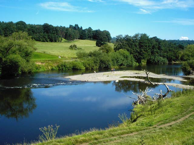
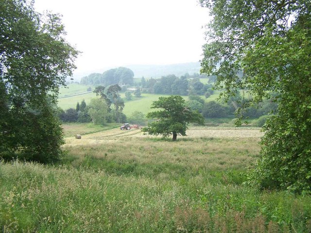
Upper Arley is a civil parish located in the county of Staffordshire, England. Situated on the eastern bank of the River Severn, it is part of the Wyre Forest District. The parish covers an area of approximately 7 square miles and is surrounded by picturesque countryside.
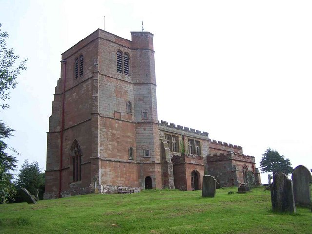
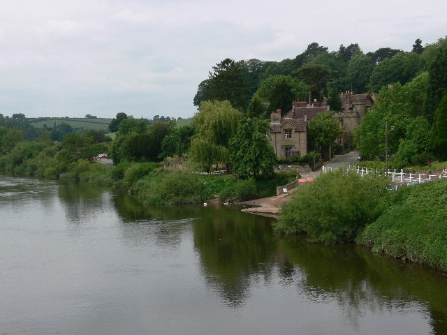
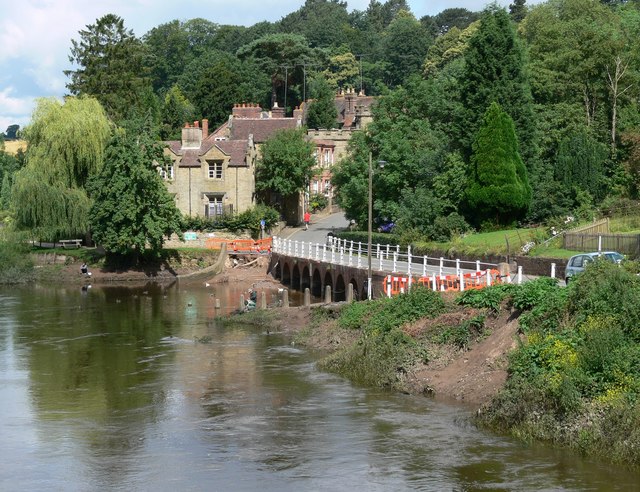
The village of Upper Arley is the main settlement within the parish. It is a small and charming village with a population of around 500 residents. The village is known for its beautiful historic buildings, including the St. Peter's Church, which dates back to the 12th century and features stunning architectural details.
The village also boasts Arley Hall, a Grade II listed building that serves as a focal point of the community. Arley Hall is a magnificent mansion surrounded by well-maintained gardens and parkland. It has been home to the same family for over 500 years and is open to the public for tours and events.
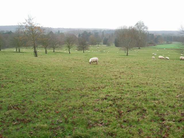
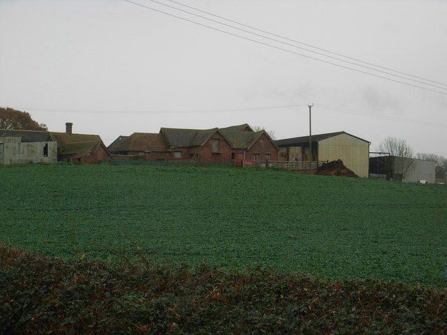
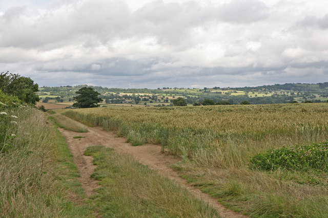
Upper Arley is known for its thriving agriculture industry, with many farms and agricultural businesses operating in the area. The fertile land surrounding the village supports a variety of crops, including wheat, barley, and potatoes.
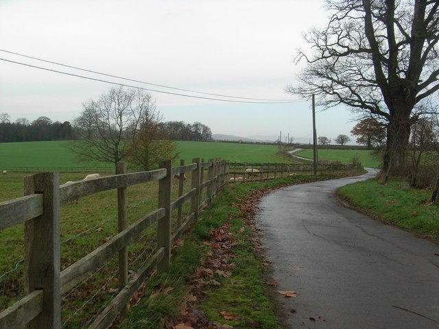
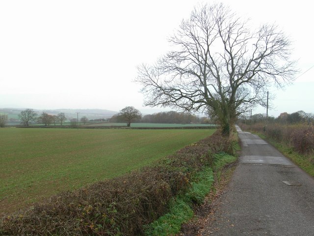
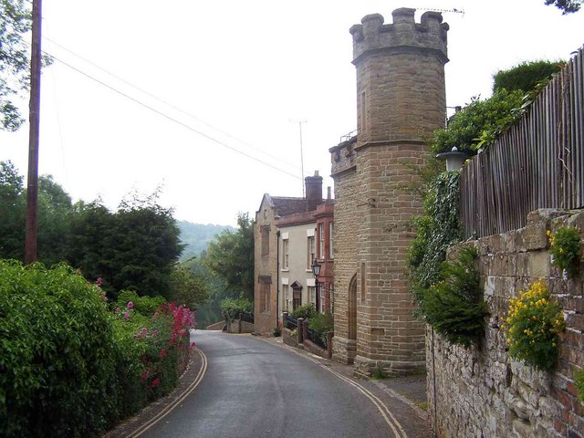
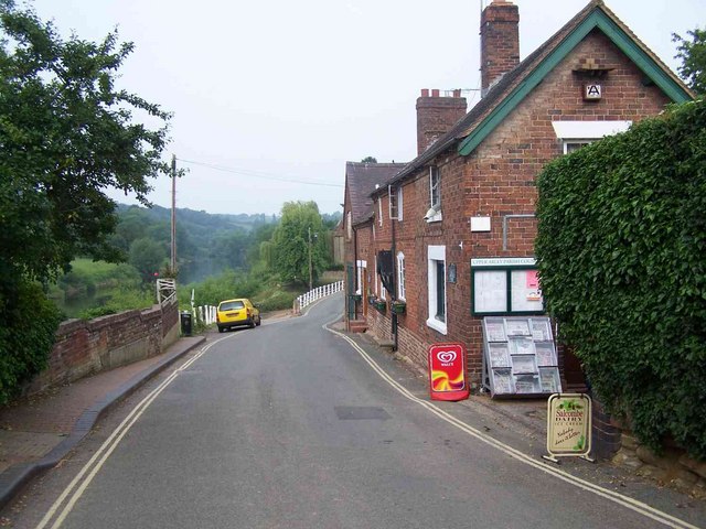
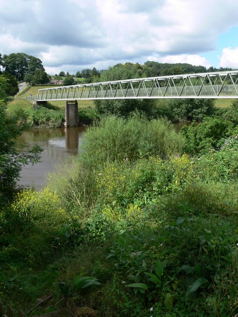
The village is well-connected to the surrounding areas by a network of roads, making it easily accessible for both residents and visitors. It is a popular destination for outdoor enthusiasts, with numerous walking and cycling trails in the nearby countryside.
Overall, Upper Arley is a charming and picturesque civil parish that offers a peaceful and idyllic setting for its residents. With its rich history, stunning architecture, and beautiful natural surroundings, it is a hidden gem in the Staffordshire countryside.
If you have any feedback on the listing, please let us know in the comments section below.
Upper Arley Images
Images are sourced within 2km of 52.417019/-2.351292 or Grid Reference SO7679. Thanks to Geograph Open Source API. All images are credited.

Upper Arley is located at Grid Ref: SO7679 (Lat: 52.417019, Lng: -2.351292)
Administrative County: Worcestershire
District: Wyre Forest
Police Authority: West Mercia
What 3 Words
///taller.infinite.unrated. Near Highley, Shropshire
Nearby Locations
Related Wikis

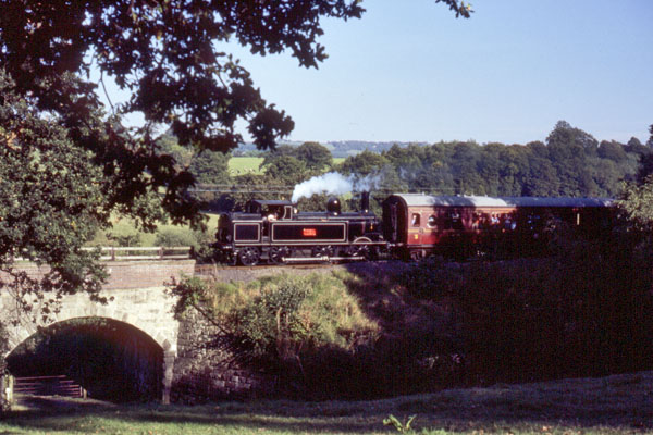
Arley railway station
Arley railway station is a station on the Severn Valley Railway heritage line in Worcestershire, situated just over the River Severn from the village of...

Upper Arley
Upper Arley (grid reference SO765805) is a village and civil parish near Kidderminster in the Wyre Forest District of Worcestershire, England. Historically...

Arley House and Gardens
Arley House and Gardens are situated at Upper Arley, about 4 miles (6.4 km) north-west of Bewdley, in Worcestershire, England. The gardens, arboretum and...

Victoria Bridge, Worcestershire
The Victoria Bridge crosses the River Severn between Arley and Bewdley in Worcestershire, England. At the time of its construction, the 200-foot railway...

Shatterford Hill
Shatterford Hill is an English geographical feature that extends from Bewdley in north Worcestershire to Birdsgreen near Alveley, just over the border...

Pound Green
Pound Green is a hamlet in Upper Arley, Worcestershire, England. It has a number of tourist landmarks such as Ye Olde New Inn and a village hall that also...

Button Oak
Button Oak is a small village in the English county of Shropshire, England. It is 3 miles north west of Bewdley. Button Oak is very similar to nearby...

Coppicegate
Coppicegate is a small settlement in Shropshire, England. It is beside the Wyre Forest and is 10 kilometres (6 mi) northwest of Kidderminster. == External... ==
Nearby Amenities
Located within 500m of 52.417019,-2.351292Have you been to Upper Arley?
Leave your review of Upper Arley below (or comments, questions and feedback).