Uffington
Civil Parish in Shropshire
England
Uffington

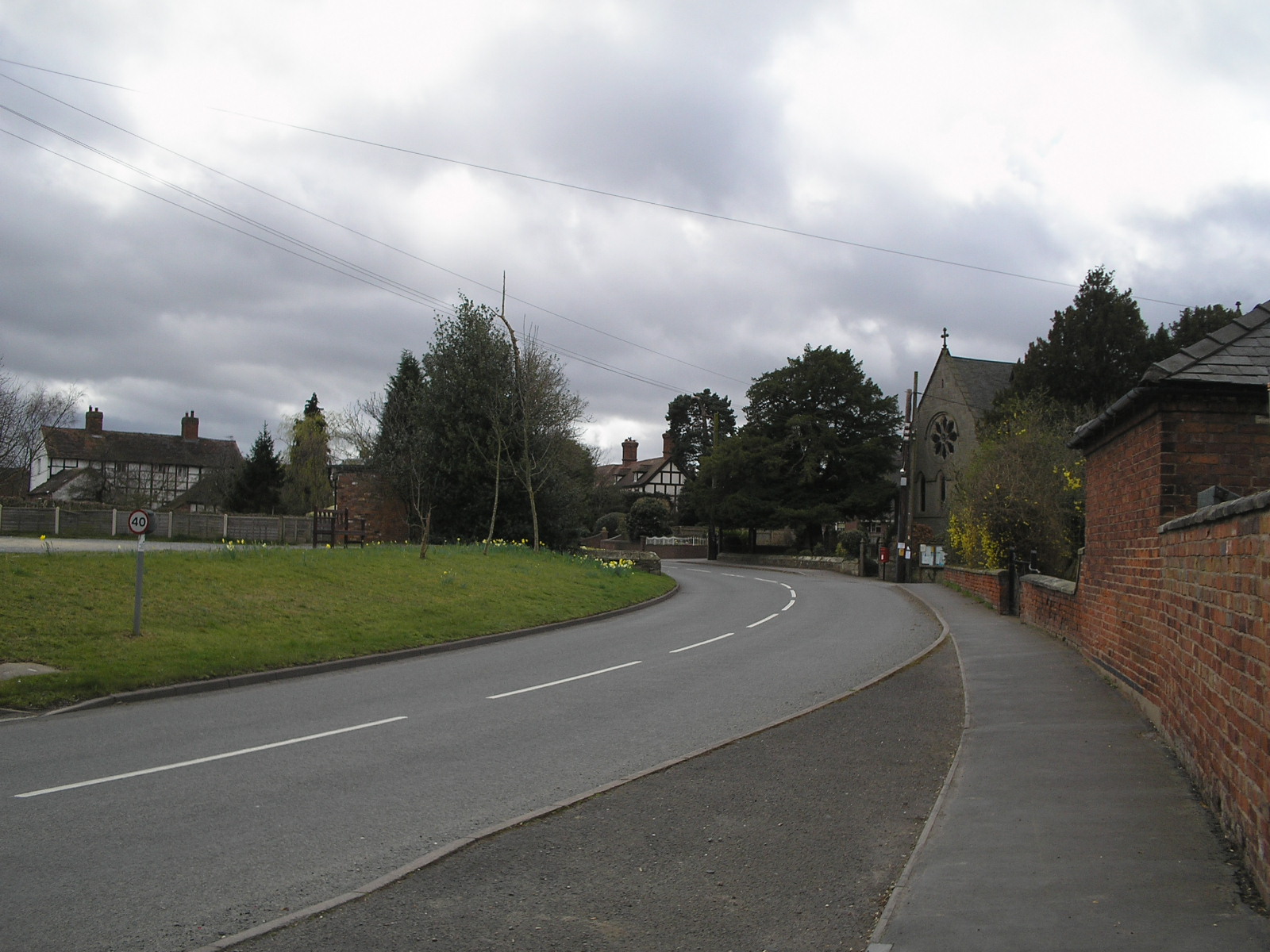
Uffington is a civil parish located in the county of Shropshire, England. Situated approximately 3 miles east of the town of Shrewsbury, it spans an area of about 5 square miles. The parish is bordered by the River Severn to the west and the A5 road to the north, providing convenient access to nearby towns and cities.
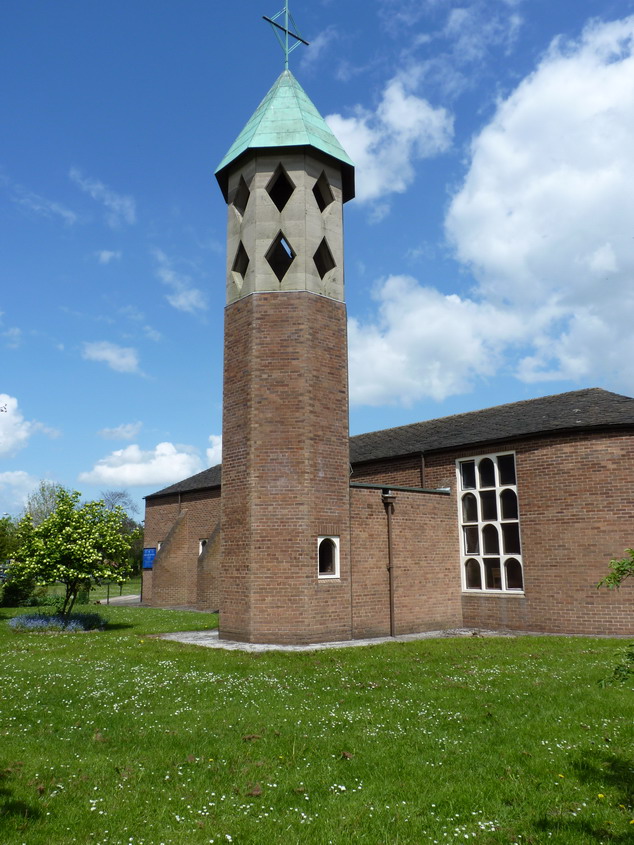
The village of Uffington itself is a small and picturesque settlement with a population of around 500 residents. It is characterized by its charming mix of traditional and modern architecture, including a number of historic buildings such as the Grade II listed St. Michael's Church. The village also features a range of amenities such as a primary school, post office, and local shops, catering to the needs of its residents.
The surrounding countryside of Uffington is predominantly agricultural, with rolling fields and farmland, contributing to the area's rural charm. The parish is known for its beautiful natural landscapes, including the Uffington Meadows, which is a designated Site of Special Scientific Interest due to its diverse flora and fauna.
Uffington is well-connected to the wider region, with good transport links. The nearby A5 road provides easy access to the M54 motorway, connecting the area to major cities such as Birmingham and Manchester. Additionally, the town of Shrewsbury, with its train station, offers regular services to various destinations across the country.
Overall, Uffington, Shropshire is a peaceful and idyllic civil parish that combines rural beauty with convenient access to nearby towns and cities.
If you have any feedback on the listing, please let us know in the comments section below.
Uffington Images
Images are sourced within 2km of 52.73086/-2.689646 or Grid Reference SJ5315. Thanks to Geograph Open Source API. All images are credited.


Uffington is located at Grid Ref: SJ5315 (Lat: 52.73086, Lng: -2.689646)
Unitary Authority: Shropshire
Police Authority: West Mercia
What 3 Words
///misty.bleat.jump. Near Astley, Shropshire
Nearby Locations
Related Wikis
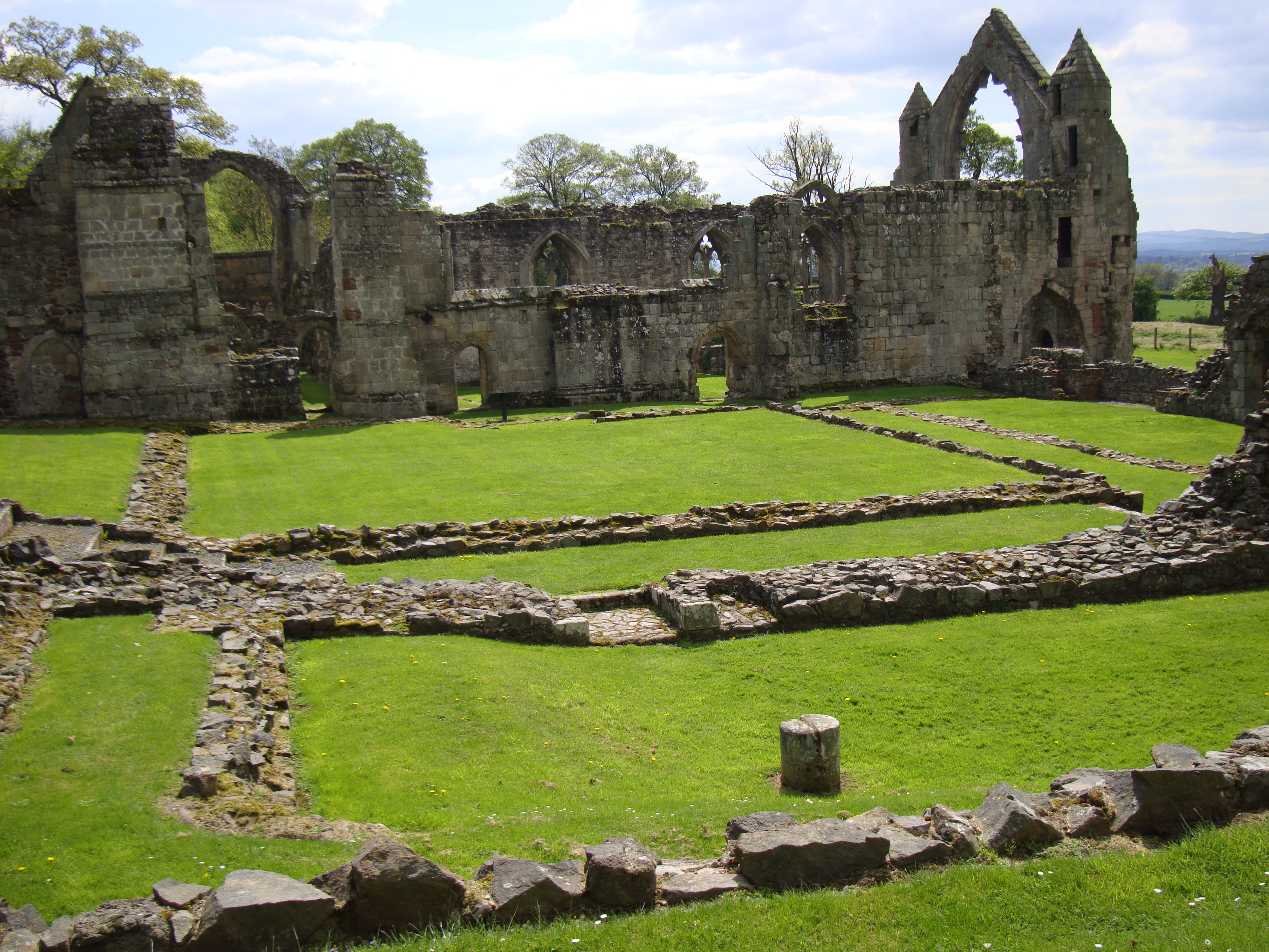
Haughmond Abbey
Haughmond Abbey (locally HOR-mənd) is a ruined, medieval, Augustinian monastery a few miles from Shrewsbury, England. It was probably founded in the early...
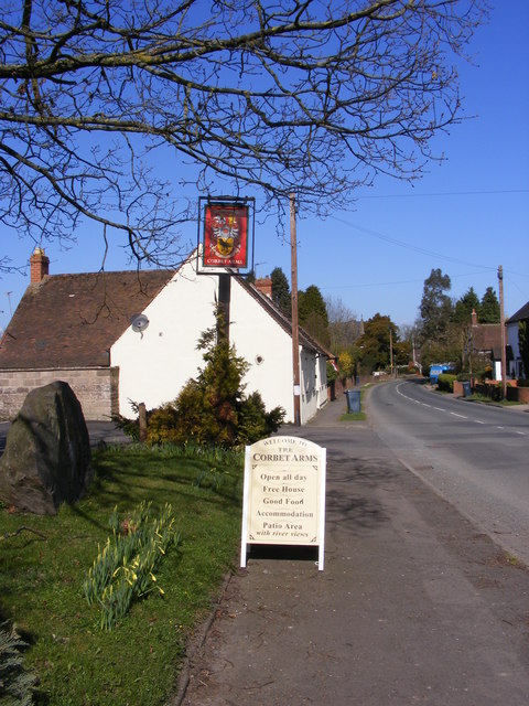
Uffington, Shropshire
Uffington () is a village and civil parish in the English county of Shropshire. The population of the civil parish at the 2011 census was 234. It lies...

Haughmond Hill
Haughmond Hill is a small, shallow hill in the English county of Shropshire. It is covered by woodland for the most part, although there is an open cast...

Haughmond F.C.
Haughmond Football Club ( HOR-mənd) is a football club based in Shrewsbury, Shropshire, England. They are currently members of the Shropshire County League...

Sundorne
Sundorne is a suburb of the town of Shrewsbury, county town of Shropshire. It is located 2 km north of the town centre. The B5062 road begins at Heathgates...
Shrewsbury Academy
Shrewsbury Academy is an 11-16 mixed secondary school with academy status in Shrewsbury, Shropshire, England. It was established in September 2016 following...
Harlescott
Harlescott ( HARL-scott, locally also HOLS-kət) is a suburb of the town of Shrewsbury, county town of Shropshire. It is one of the most industrial parts...

Battlefield, Shropshire
Battlefield is a village and suburb of the town of Shrewsbury in Shropshire, England. It is 3 miles (5 km) north of the town centre. The village is today...
Nearby Amenities
Located within 500m of 52.73086,-2.689646Have you been to Uffington?
Leave your review of Uffington below (or comments, questions and feedback).