Buckfast
Settlement in Devon Teignbridge
England
Buckfast
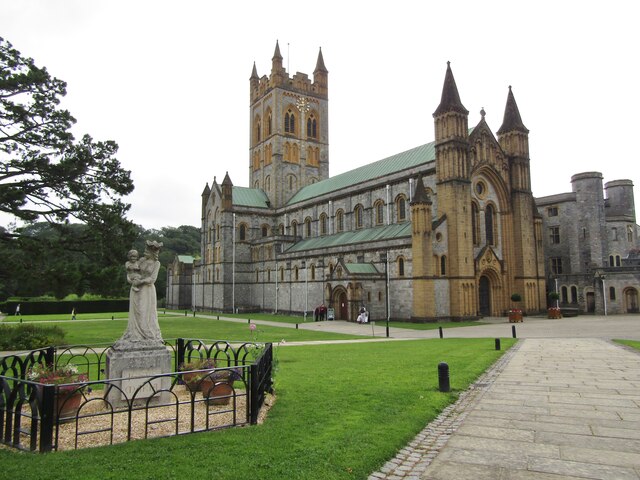
Buckfast is a small village located in the county of Devon, England. Situated in the South Hams district, it lies on the southeastern edge of Dartmoor National Park. The village is famous for being home to Buckfast Abbey, a Benedictine monastery founded in the late 19th century.
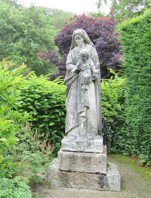
Buckfast Abbey is a significant landmark in the area and attracts a large number of tourists each year. The Abbey is known for its stunning architecture, beautiful gardens, and rich history. Visitors can explore the abbey's church, which houses impressive stained glass windows and a peaceful atmosphere ideal for reflection.
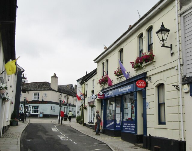
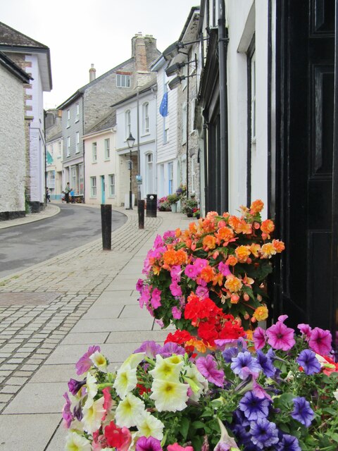
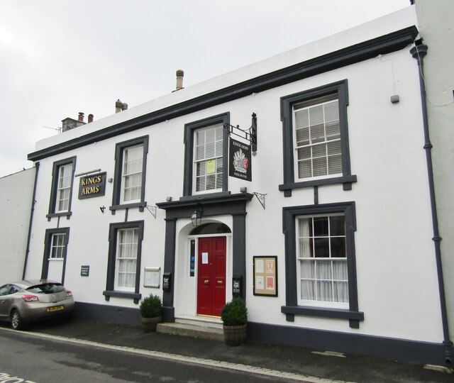
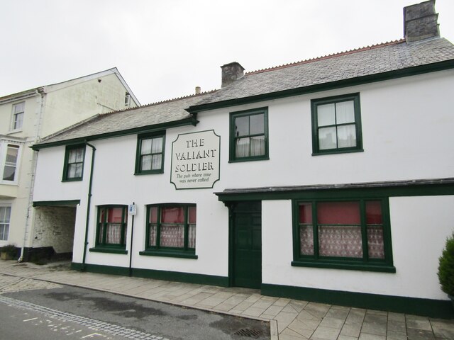
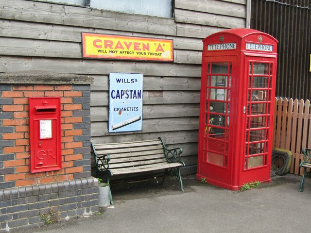
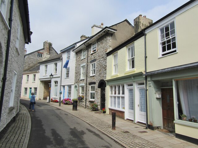
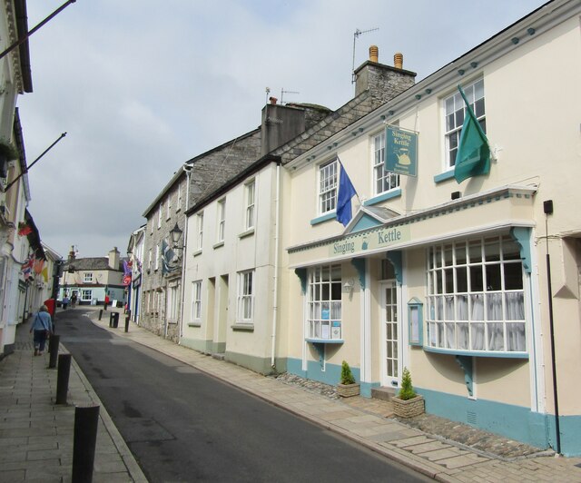
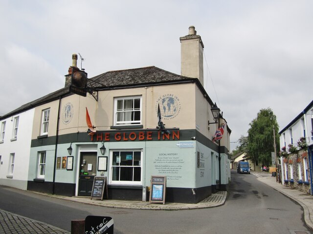
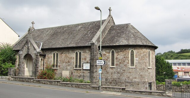
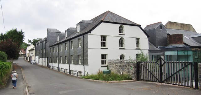
The village itself is quaint and charming, with traditional stone houses and a small community feel. It has a range of amenities for both locals and visitors, including a post office, a few shops, and several places to eat and drink.
Buckfast is also surrounded by picturesque natural landscapes, making it an ideal base for outdoor enthusiasts. Dartmoor National Park offers numerous opportunities for hiking, cycling, and wildlife spotting. The River Dart flows nearby, providing opportunities for water activities such as kayaking and fishing.
In addition to its natural beauty, Buckfast is known for producing Buckfast Tonic Wine, a popular alcoholic beverage. The wine is made by the monks of Buckfast Abbey and has gained a somewhat notorious reputation in some circles.
Overall, Buckfast is a charming village with a rich history and natural beauty, making it a popular destination for those seeking a peaceful and scenic getaway.
If you have any feedback on the listing, please let us know in the comments section below.
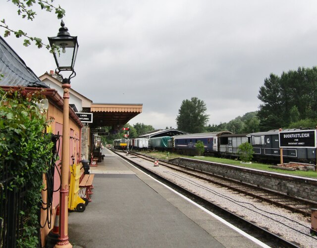
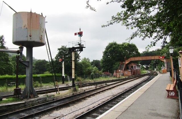
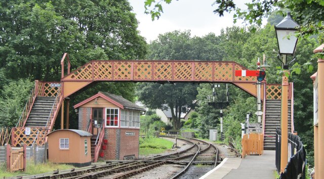
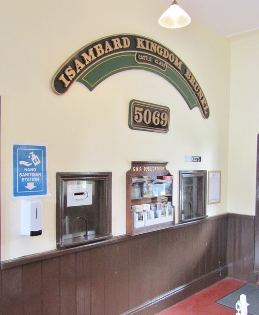
Buckfast Images
Images are sourced within 2km of 50.492376/-3.77282 or Grid Reference SX7467. Thanks to Geograph Open Source API. All images are credited.

Buckfast is located at Grid Ref: SX7467 (Lat: 50.492376, Lng: -3.77282)
Administrative County: Devon
District: Teignbridge
Police Authority: Devon and Cornwall
What 3 Words
///stretch.emporium.flopped. Near Buckfastleigh, Devon
Nearby Locations
Related Wikis
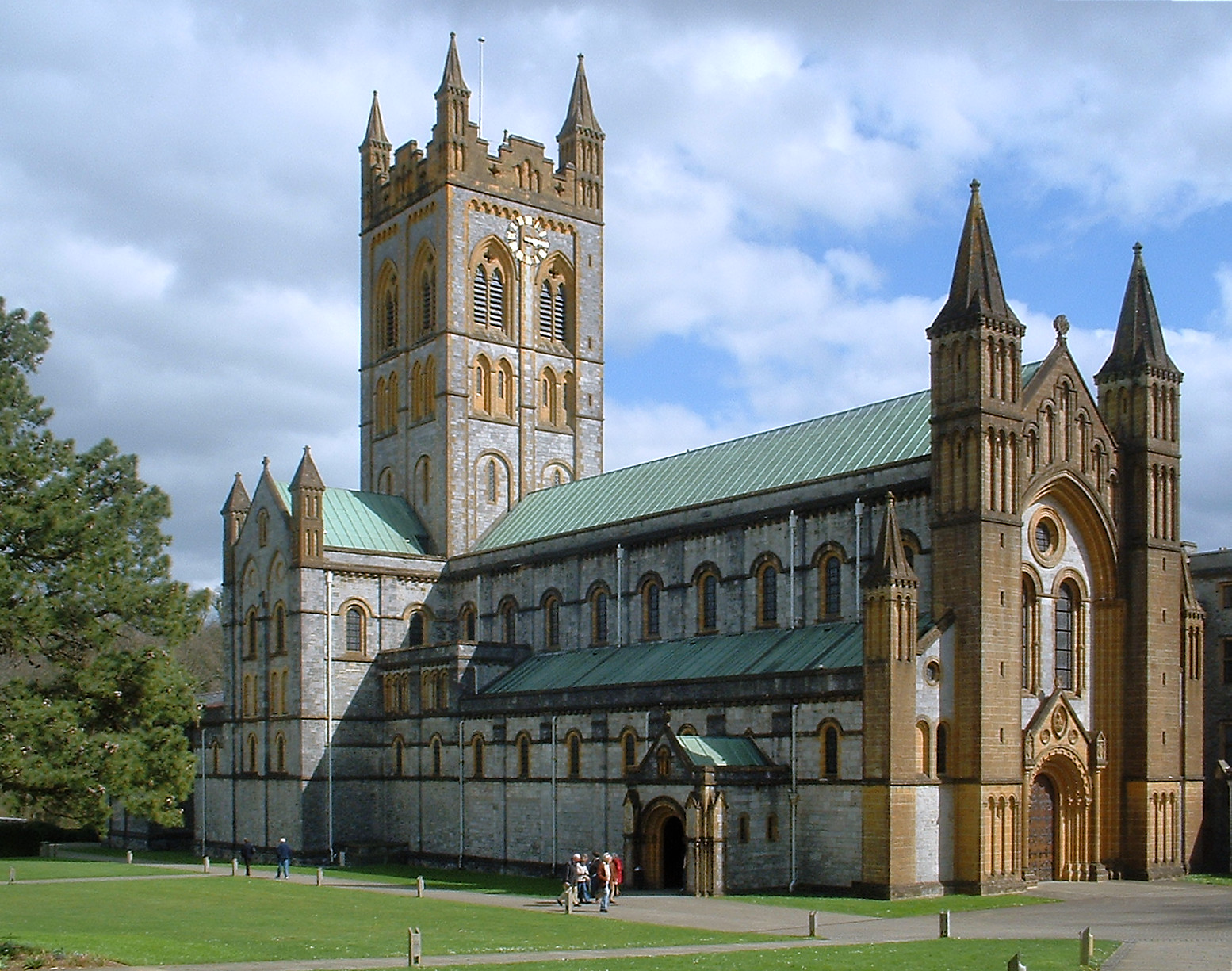
Buckfast Abbey
Buckfast Abbey forms part of an active Benedictine monastery at Buckfast, near Buckfastleigh, Devon, England. Buckfast first became home to an abbey in...

Buckfast
Buckfast is a small village near Buckfastleigh in Teignbridge district, Devon, England, on the bank of the River Dart. It is the home of Buckfast Abbey...

Pridhamsleigh Cavern
Pridhamsleigh Cavern is a cave on the outskirts of Ashburton, Devon, England. It is approximately 1.1 kilometres in length with a total depth of just over...
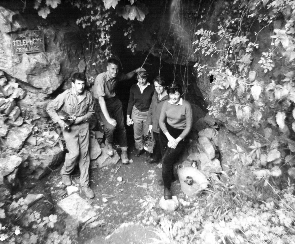
Bakers Pit
Bakers Pit is a phreatic maze cave system near Buckfastleigh, Devon, England. It was first opened in 1847 by quarrying activities.Bakers Pit is entered...
Nearby Amenities
Located within 500m of 50.492376,-3.77282Have you been to Buckfast?
Leave your review of Buckfast below (or comments, questions and feedback).