Treeton
Civil Parish in Yorkshire Rotherham
England
Treeton

Treeton is a civil parish located in the metropolitan borough of Rotherham in South Yorkshire, England. It is situated approximately 5 miles southeast of the town of Rotherham and 7 miles northeast of Sheffield. The village is surrounded by picturesque countryside, with the River Rother flowing nearby.
Treeton has a rich history dating back to the medieval period, and evidence of Roman and Anglo-Saxon settlements has been discovered in the area. The village grew and prospered during the Industrial Revolution, thanks to the establishment of coal mines and the construction of the Sheffield and Tinsley Canal, which runs through the parish.
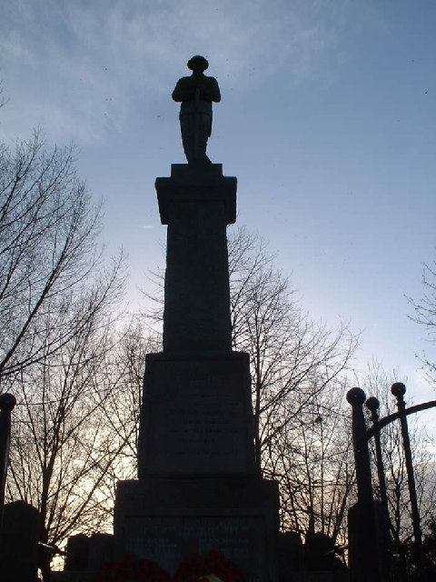
Today, Treeton retains its historic charm with several well-preserved buildings, including St. Helen's Church, a Grade II listed building dating back to the 12th century. The village also has a primary school, a community center, and a library. Treeton is known for its active community, with various clubs and societies offering recreational and social activities for residents.
Nature enthusiasts can enjoy the nearby Treeton Dyke, a local nature reserve that provides habitat for a variety of wildlife. The reserve offers walking trails, bird watching opportunities, and a peaceful environment for nature lovers.
Treeton is well-connected to neighboring towns and cities via road and rail networks. The M1 motorway is easily accessible, providing convenient links to Sheffield, Rotherham, and other major cities in the region. The village also has its own railway station, providing regular services to Sheffield and Rotherham.
If you have any feedback on the listing, please let us know in the comments section below.
Treeton Images
Images are sourced within 2km of 53.386804/-1.342645 or Grid Reference SK4387. Thanks to Geograph Open Source API. All images are credited.


Treeton is located at Grid Ref: SK4387 (Lat: 53.386804, Lng: -1.342645)
Division: West Riding
Administrative County: South Yorkshire
District: Rotherham
Police Authority: South Yorkshire
What 3 Words
///stump.animal.twice. Near Treeton, South Yorkshire
Nearby Locations
Related Wikis

Treeton Colliery
Treeton Colliery was a coal mine situated in the village of Treeton, near Rotherham, South Yorkshire, England. Work on the sinking of Treeton Colliery...

St Helen's Church, Treeton
The Church of St Helen is the parish church in the village of Treeton in South Yorkshire, England. It is a Church of England church in the Diocese of Sheffield...

Treeton
Treeton is a village and civil parish of the Metropolitan Borough of Rotherham in South Yorkshire, England. It is located about 4 miles (6 km) south of...
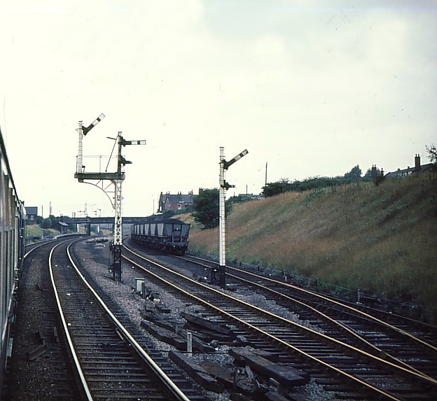
Treeton railway station
Treeton railway station is a former railway station in the centre of Treeton, Rotherham, England. == History == The station was situated on the North Midland...
Nearby Amenities
Located within 500m of 53.386804,-1.342645Have you been to Treeton?
Leave your review of Treeton below (or comments, questions and feedback).