Buchlyvie
Settlement in Stirlingshire
Scotland
Buchlyvie
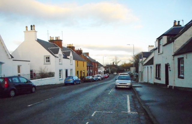
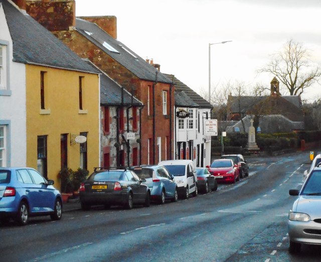
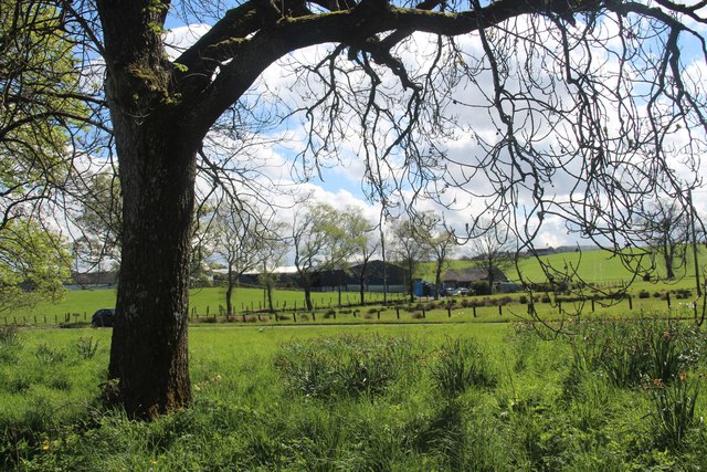
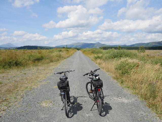
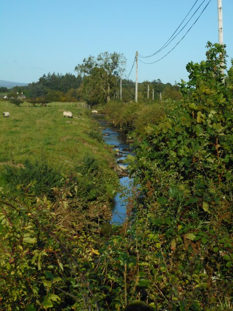
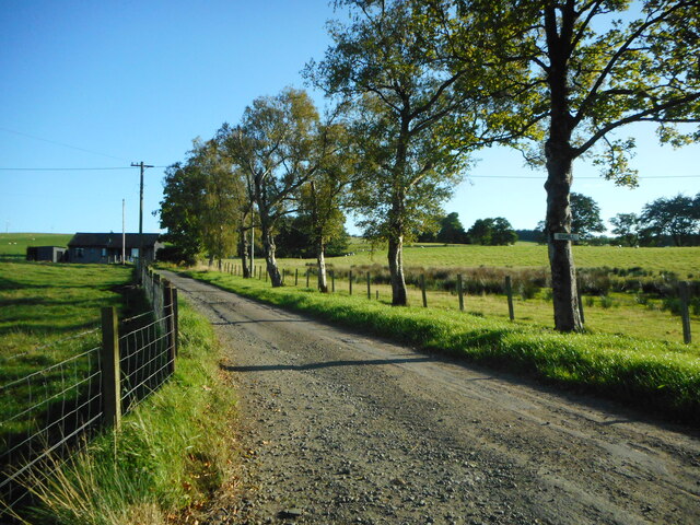
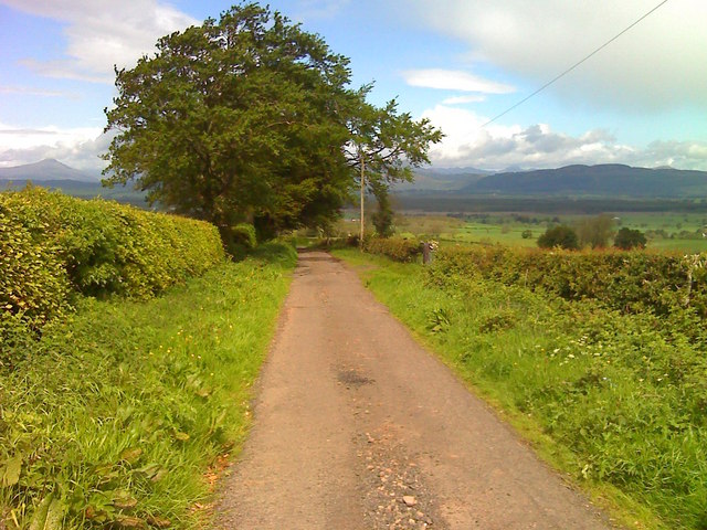
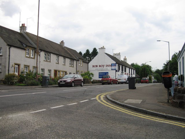
Buchlyvie is a small village located in Stirlingshire, Scotland. Situated approximately 18 miles north of Glasgow, Buchlyvie is known for its picturesque setting in the heart of the Scottish countryside. The village is surrounded by rolling hills and lush greenery, making it a popular destination for outdoor enthusiasts and nature lovers.
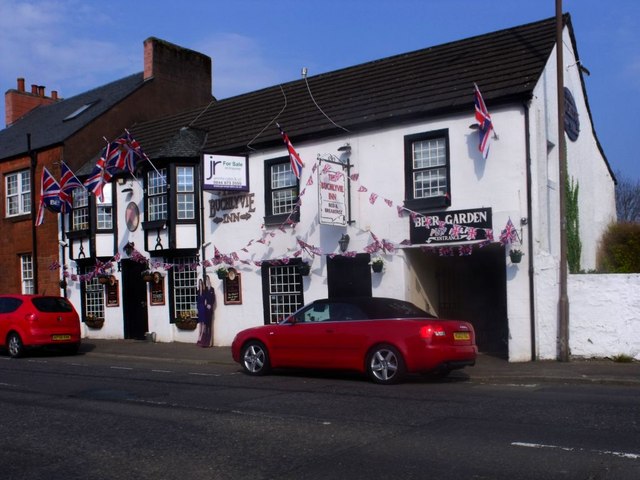
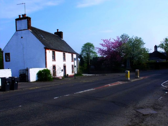
Buchlyvie has a quaint and charming atmosphere, with traditional stone buildings lining its narrow streets. The village is home to a handful of local shops, cafes, and pubs, providing residents and visitors with essential amenities and a taste of small-town Scottish life.
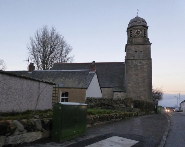
One of Buchlyvie's most notable landmarks is the beautiful 19th-century parish church, which stands as a symbol of the village's rich history and heritage. The surrounding area offers plenty of opportunities for outdoor activities such as hiking, cycling, and fishing, making it a great base for exploring the stunning Scottish landscape.
Overall, Buchlyvie is a peaceful and idyllic village that offers a tranquil escape from the hustle and bustle of city life, making it a hidden gem in the heart of Stirlingshire.
If you have any feedback on the listing, please let us know in the comments section below.
Buchlyvie Images
Images are sourced within 2km of 56.115529/-4.29476 or Grid Reference NS5793. Thanks to Geograph Open Source API. All images are credited.


![Truffle and Pillarbox Once the village post office, until recently this building was the Macmillans Bistro and Coffee House. It is now home to Truffle Event Catering. The pillarbox [<a title="https://www.geograph.org.uk/photo/5235644" href="https://www.geograph.org.uk/photo/5235644">Link</a>] is postbox number FK8 63.](https://s0.geograph.org.uk/geophotos/05/23/56/5235636_6e35bd37.jpg)
![George V pillarbox, Buchlyvie The pillarbox is beside the former village post office [<a title="https://www.geograph.org.uk/photo/5235636" href="https://www.geograph.org.uk/photo/5235636">Link</a>], and is postbox number FK8 63.](https://s0.geograph.org.uk/geophotos/05/23/56/5235644_721152ed.jpg)
Buchlyvie is located at Grid Ref: NS5793 (Lat: 56.115529, Lng: -4.29476)
Unitary Authority: Stirling
Police Authority: Forth Valley
What 3 Words
///clouding.holidays.another. Near Balfron, Stirling
Nearby Locations
Related Wikis
Buchlyvie
Buchlyvie is a village in the Stirling council area of Scotland. It is situated 14 miles (23 km) west of Stirling and 18 miles (29 km) north of Glasgow...
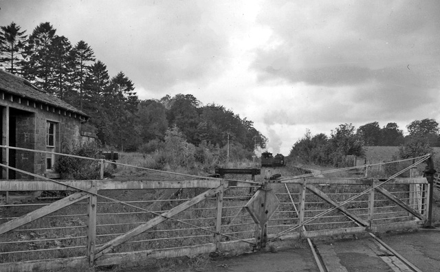
Buchlyvie railway station
Buchlyvie railway station served the village of Buchlyvie, Stirling, Scotland, from 1856 to 1959 on the Forth and Clyde Junction Railway. == History... ==

Port of Menteith railway station
Port of Menteith railway station served the village of Port of Menteith, Stirling, Scotland, from 1856 by 1934 on the Forth and Clyde Junction Railway...

A811 road
The A811 is a road in central Scotland. It runs from Stirling to Balloch. == Route == The road starts off in the centre of Stirling, at the Craigs Roundabout...
Nearby Amenities
Located within 500m of 56.115529,-4.29476Have you been to Buchlyvie?
Leave your review of Buchlyvie below (or comments, questions and feedback).