Tingrith

Civil Parish in Bedfordshire

England

Tingrith

Fields near Castle farm Washers Wood in the distance.
Fields near Castle farm Credit: James Emmans

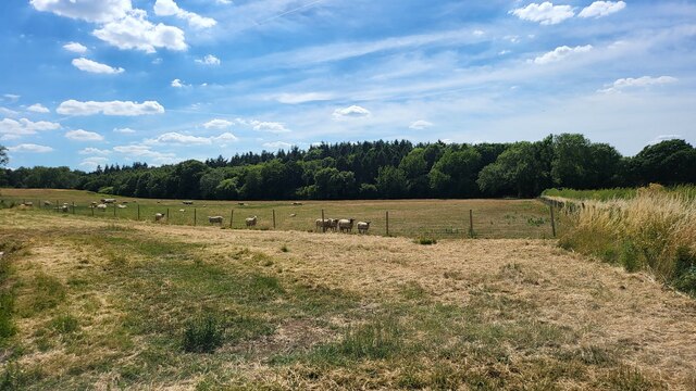
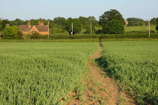
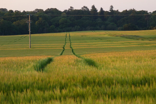
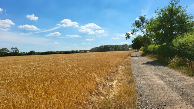
Tingrith is a civil parish located in the county of Bedfordshire, England. Situated approximately 7 miles south of the town of Milton Keynes, it covers an area of around 3 square miles. The parish is predominantly rural, characterized by open fields, farmland, and a few scattered residential properties.

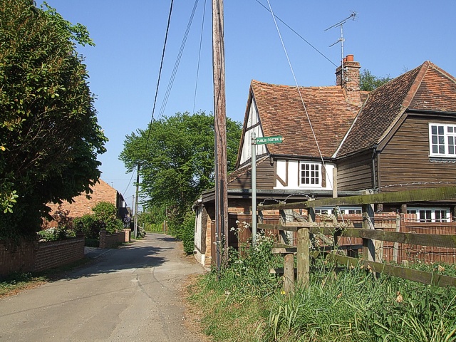
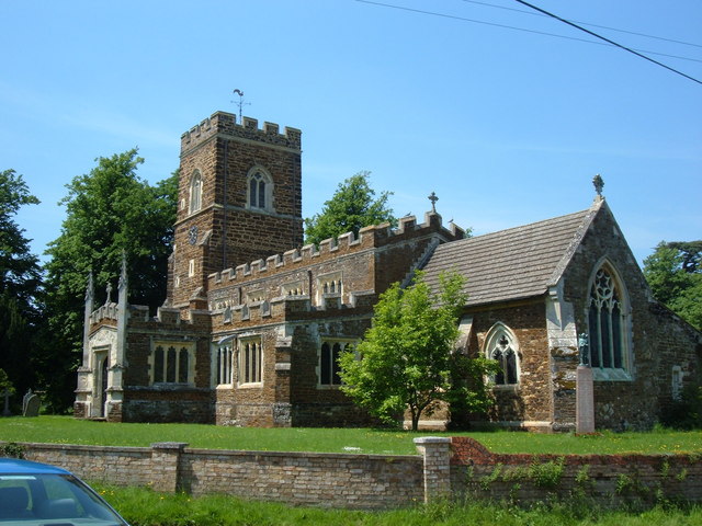
The village of Tingrith itself is small, with a population of just over 100 people according to the latest census. It has a charming, quaint atmosphere, with a mix of historic and modern buildings. The centerpiece of the village is the Church of St. Nicholas, a Grade II listed building that dates back to the 14th century. The church is known for its beautiful stained glass windows and ornate architecture.

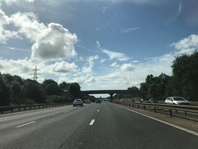
Despite its small size, Tingrith is well-connected to surrounding areas. The A4012 road runs through the parish, providing easy access to nearby towns and cities. The closest railway station is located in the neighboring village of Ridgmont, offering regular services to London and other major destinations.

The local economy is primarily based on agriculture, with several farms in the area specializing in arable farming and livestock rearing. The village also benefits from its proximity to Milton Keynes, where many residents commute for work or access a wider range of amenities and services.

In summary, Tingrith is a picturesque civil parish in Bedfordshire, known for its rural setting, historic church, and close-knit community. It offers a peaceful and idyllic lifestyle while providing easy access to nearby towns and cities.

If you have any feedback on the listing, please let us know in the comments section below.

Tingrith Images

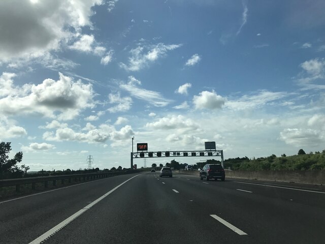
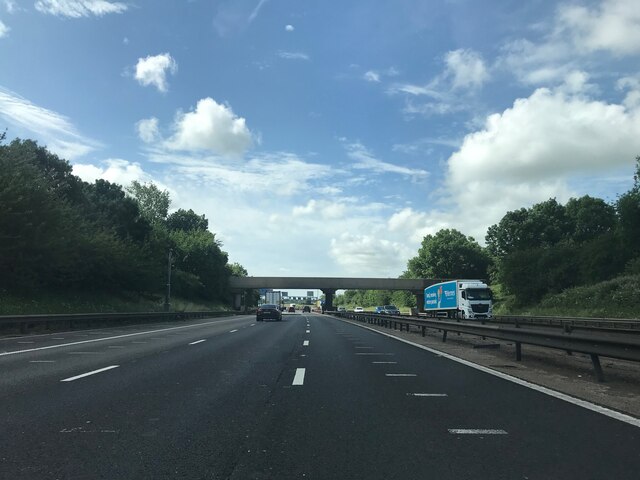
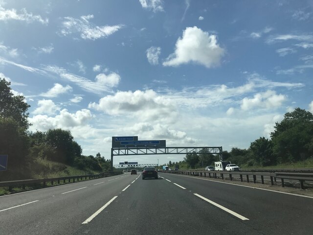
Images are sourced within 2km of 51.979083/-0.542149 or Grid Reference TL0032. Thanks to Geograph Open Source API. All images are credited.

Fields near Castle farm Washers Wood in the distance.
Fields near Castle farm
Washers Wood in the distance.
Farmland, Eversholt A footpath through peas on the approach to Water End.
Farmland, Eversholt
A footpath through peas on the approach to Water End.
Farmland, Tingrith Spring barley to the north of Castle Farm.
Farmland, Tingrith
Spring barley to the north of Castle Farm.
Footbridge crossing M1 southbound
Matrix gantry - M1 southbound
Footbridge over M1 southbound
Matrix gantry - M1 southbound
Field access track Wood House is in Daintry Wood uses this track.
Field access track
Wood House is in Daintry Wood uses this track.
Southbound M1 near to Tingrith The M1 is a north–south motorway connecting London to Leeds, where it joins the A1(M) near Aberford. It was the first motorway to be completed in the United Kingdom.
The motorway is 193 miles long and was constructed in four phases. Most of the motorway was opened between 1959 and 1968 but the southern end was extended in 1977 and the northern end was extended in 1999.
Southbound M1 near to Tingrith
The M1 is a north–south motorway connecting London to Leeds, where it joins the A1(M) near Aberford. It was the first motorway to be completed in the United Kingdom. The motorway is 193 miles long and was constructed in four phases. Most of the motorway was opened between 1959 and 1968 but the southern end was extended in 1977 and the northern end was extended in 1999.
Bridge Over the M1 near Tingrith The M1 is a north–south motorway connecting London to Leeds, where it joins the A1(M) near Aberford. It was the first motorway to be completed in the United Kingdom.
The motorway is 193 miles long and was constructed in four phases. Most of the motorway was opened between 1959 and 1968 but the southern end was extended in 1977 and the northern end was extended in 1999.
Bridge Over the M1 near Tingrith
The M1 is a north–south motorway connecting London to Leeds, where it joins the A1(M) near Aberford. It was the first motorway to be completed in the United Kingdom. The motorway is 193 miles long and was constructed in four phases. Most of the motorway was opened between 1959 and 1968 but the southern end was extended in 1977 and the northern end was extended in 1999.
The Green Man, Eversholt A solid looking pub directly opposite the church in Eversholt. Apparently it dates from 1835 
Own website - <span class="nowrap"><a title="http://www.greenmaneversholt.com/Home.html" rel="nofollow ugc noopener" href="http://www.greenmaneversholt.com/Home.html">Link</a><img style="margin-left:2px;" alt="External link" title="External link - shift click to open in new window" src="https://s1.geograph.org.uk/img/external.png" width="10" height="10"/></span>
The Green Man, Eversholt
A solid looking pub directly opposite the church in Eversholt. Apparently it dates from 1835 Own website - LinkExternal link
War Memorial, Eversholt In the churchyard of St.John the Baptist, Eversholt is this quite unusual war memorial topped by an angel (St. Michael perhaps) rather than the more usual cross.
War Memorial, Eversholt
In the churchyard of St.John the Baptist, Eversholt is this quite unusual war memorial topped by an angel (St. Michael perhaps) rather than the more usual cross.
The Thatch, Brook End This cottage is called "The Thatch" appropriately enough. It is in a part of Eversholt called Brook End.
The Thatch, Brook End
This cottage is called "The Thatch" appropriately enough. It is in a part of Eversholt called Brook End.
Water End Barns They don't look much like barns to me - but that's what the sign says !
I presume that this was an old mill of some kind. It has now been converted into living accommodation. I wonder if the chimney still works, you could have a roaring fire with the updraft that'd produce !
Water End Barns
They don't look much like barns to me - but that's what the sign says ! I presume that this was an old mill of some kind. It has now been converted into living accommodation. I wonder if the chimney still works, you could have a roaring fire with the updraft that'd produce !
Water End Barns from nearby junction Another view of <a href="https://www.geograph.org.uk/photo/183094">SP9933 : Water End Barns</a> from a little further away showing the length of this substantial building.
Water End Barns from nearby junction
Another view of SP9933 : Water End Barns from a little further away showing the length of this substantial building.
Higher Rads End - Houses A view back along the <a href="https://www.geograph.org.uk/photo/426745">SP9932 : No-Through-Road, Higher Rads End</a> from near its dead-end. The footpath signposted to the right heads roughly southwards across fields towards Castle Farm.
Higher Rads End - Houses
A view back along the SP9932 : No-Through-Road, Higher Rads End from near its dead-end. The footpath signposted to the right heads roughly southwards across fields towards Castle Farm.
No-Through-Road, Higher Rads End Taken from its junction with the lane through Higher and Lower Rads End, this is the view up the No-through-road that leads to <a href="https://www.geograph.org.uk/photo/426742">SP9932 : Higher Rads End - Houses</a>
No-Through-Road, Higher Rads End
Taken from its junction with the lane through Higher and Lower Rads End, this is the view up the No-through-road that leads to SP9932 : Higher Rads End - Houses
Rads End Farm This mellow bricked farm is on a right/left kink in the lane through Higher & Lower Rads End. I think the wooden top to the roof is a dovecote, and it looks as though two of its residents are flying above it.
Rads End Farm
This mellow bricked farm is on a right/left kink in the lane through Higher & Lower Rads End. I think the wooden top to the roof is a dovecote, and it looks as though two of its residents are flying above it.
Show me another place!

Tingrith is located at Grid Ref: TL0032 (Lat: 51.979083, Lng: -0.542149)

Unitary Authority: Central Bedfordshire

Police Authority: Bedfordshire

What 3 Words

///proudest.stopped.sailed. Near Eversholt, Bedfordshire

Nearby Locations

Tingrith Tingrith

Related Wikis

Church of St Nicholas, Tingrith

The Church of St Nicholas is a Grade I listed church in Tingrith, Bedfordshire, England. It became a listed building on 23 January 1961.The brown sandstone...

Tingrith

Tingrith is a small village and civil parish in Bedfordshire, England. It is located adjacent to the M1 motorway near the large village of Toddington....

Eversholt

Eversholt is a village and civil parish located in Bedfordshire, England. It was mentioned in the Domesday Book and is over 1000 years old. "Eversholt...

Toddington Manor, Bedfordshire

Toddington Manor is a Tudor country house in the English county of Bedfordshire, near the village of Toddington and is a Grade II listed building with...

Have you been to Tingrith?

Leave your review of Tingrith below (or comments, questions and feedback).