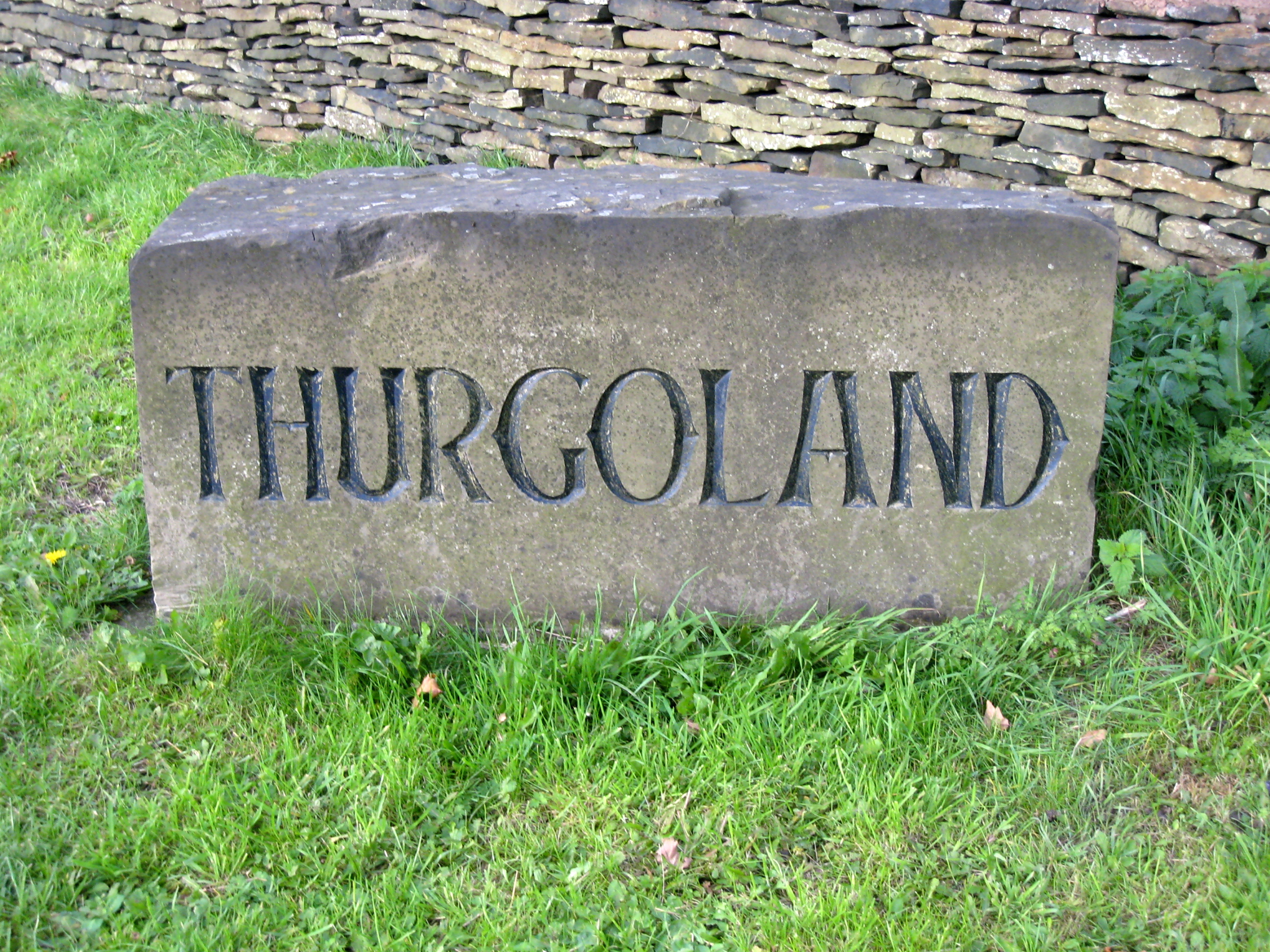
Thurgoland

Civil Parish in Yorkshire Barnsley

England

Thurgoland

Old Mill Lane
Old Mill Lane Credit: David Martin

Thurgoland is a civil parish located in the Metropolitan Borough of Barnsley in South Yorkshire, England. Situated approximately 9 miles north of Sheffield, the parish covers an area of around 1,000 acres and has a population of around 2,000 people.

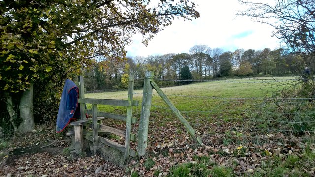
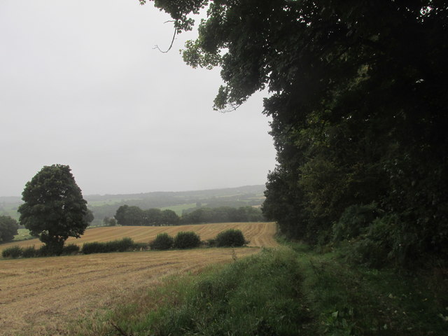
Thurgoland is a rural village that offers picturesque landscapes and a peaceful environment. It is surrounded by beautiful countryside, with rolling hills, fields, and woodlands, making it an ideal location for outdoor activities such as walking, hiking, and cycling. The village itself has a charming atmosphere, with traditional stone buildings and a close-knit community.

The history of Thurgoland can be traced back to the 13th century when it was mentioned in historical records. The village has retained much of its historic character, with several old buildings still standing, including the St. Theobald's Church, which dates back to the 12th century.

Thurgoland provides essential amenities for its residents, including a primary school, a village hall, a post office, and a local pub. The village is well-connected by road, with easy access to the nearby towns of Sheffield, Barnsley, and Huddersfield. Public transportation is also available, with regular bus services connecting Thurgoland to surrounding areas.

Overall, Thurgoland offers a peaceful and scenic setting, making it an attractive place to live for those seeking a rural lifestyle while still having access to nearby urban areas.

If you have any feedback on the listing, please let us know in the comments section below.
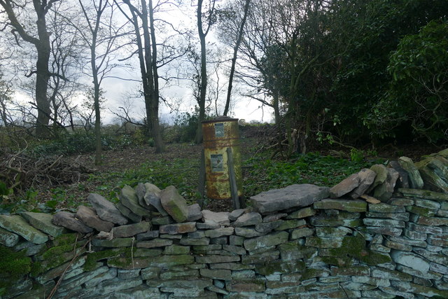
Thurgoland Images

Images are sourced within 2km of 53.513251/-1.565296 or Grid Reference SE2801. Thanks to Geograph Open Source API. All images are credited.

Old Mill Lane
Old Mill Lane
The Monkey chair The Monkey was, until earlier in 2015, one of the weirdest pubs you'd ever find. Art or eyesore, possibly both! This is the chair in the car park, far removed from the lounge it must once have graced.
The Monkey chair
The Monkey was, until earlier in 2015, one of the weirdest pubs you'd ever find. Art or eyesore, possibly both! This is the chair in the car park, far removed from the lounge it must once have graced.
Bagger Wood car park
Stylish horse blanket
Armchair in the car park of The Monkey A pub until recently (July 2015) the owner, artist Anthony Youel, has decorated the exterior with 'love & peace' artwork and exhibits. See also <a href="https://www.geograph.org.uk/photo/4737883">SE2902 : The Monkey</a> & <a href="https://www.geograph.org.uk/photo/4737886">SE2902 : The Monkey</a>
Armchair in the car park of The Monkey
A pub until recently (July 2015) the owner, artist Anthony Youel, has decorated the exterior with 'love & peace' artwork and exhibits. See also SE2902 : The Monkey & SE2902 : The Monkey
Path in Bagger Wood A Woodland Trust wood and part of the South Yorkshire Forest
Path in Bagger Wood
A Woodland Trust wood and part of the South Yorkshire Forest
Modern housing at Crane Moor
Game bird feeder Not a rocket launcher as it appeared at first sight
Game bird feeder
Not a rocket launcher as it appeared at first sight
Thurgoland boundary stone On a minor road to the north east of the village
Thurgoland boundary stone
On a minor road to the north east of the village
Path off Bagger Wood Road
Bagger Wood Just ten minutes from busy Barnsley and easily accessed from several local villages in South Yorkshire England.
<span class="nowrap"><a title="https://www.flickr.com/photos/tomcurtisvideos/" rel="nofollow ugc noopener" href="https://www.flickr.com/photos/tomcurtisvideos/">Link</a><img style="margin-left:2px;" alt="External link" title="External link - shift click to open in new window" src="https://s1.geograph.org.uk/img/external.png" width="10" height="10"/></span>
Bagger Wood
Just ten minutes from busy Barnsley and easily accessed from several local villages in South Yorkshire England. LinkExternal link
Falthwaite Wood
Falthwaite Wood
View from Mill Moor Height Looking North East
View from Mill Moor Height
Looking North East
Rainbow over Crane Moor The straw bales have been in the field all winter ( up to January)
Rainbow over Crane Moor
The straw bales have been in the field all winter ( up to January)
Crane Moor Methodist Church Walking the Thurgoland Boundary Walk.
Crane Moor Methodist Church
Walking the Thurgoland Boundary Walk.
Footpath alongside Long wood. Walking the Thurgoland boundary walk.
Footpath alongside Long wood.
Walking the Thurgoland boundary walk.
Thurgoland Tunnel Portals Former railway tunnels with the up tunnel a relatively new single bore now used as a cycle path. The tunnel is renowned for its acoustics
Thurgoland Tunnel Portals
Former railway tunnels with the up tunnel a relatively new single bore now used as a cycle path. The tunnel is renowned for its acoustics
Thurgoland Tunnel The Former railway single bore tunnel looking to the north portal
Thurgoland Tunnel
The Former railway single bore tunnel looking to the north portal
Show me another place!

Thurgoland is located at Grid Ref: SE2801 (Lat: 53.513251, Lng: -1.565296)

Division: West Riding

Administrative County: South Yorkshire

District: Barnsley

Police Authority: South Yorkshire

What 3 Words

///cluttered.zoos.unafraid. Near Stainborough, South Yorkshire

Related Wikis

Thurgoland

Thurgoland (, THUR-gə-lənd) is a village and civil parish in the Metropolitan Borough of Barnsley in South Yorkshire, England, on the A629 road. According...

Thurgoland Tunnel

Thurgoland Tunnel is a double-bore abandoned railway tunnel between Penistone and Wortley. Its total length is 924 feet (282 m). The original tunnel, a...

Thurgoland railway station

Thurgoland railway station was a small railway station built by the Sheffield, Ashton-Under-Lyne and Manchester Railway to serve the village of Thurgoland...

Bagger Wood

Bagger Wood is a 67.56 acres (27.34 ha) woodland in the English county of South Yorkshire, near to the village of Hood Green, about 4 miles (6 km) south...

Nearby Amenities

Located within 500m of 53.513251,-1.565296
Pinfold Hill
Place: locality
Source: OSODSV
Lat/Long: 53.516903/-1.5627902
Power: pole
Lat/Long: 53.5110211/-1.570667
Power: pole
Lat/Long: 53.5109619/-1.5685875
Power: pole
Lat/Long: 53.5118329/-1.5667063
Power: pole
Lat/Long: 53.5125424/-1.5651955
Power: pole
Lat/Long: 53.513673/-1.5627212
Power: pole
Lat/Long: 53.5143077/-1.561364
Power: pole
Lat/Long: 53.5152248/-1.5594677
Barrier: stile
Lat/Long: 53.5121502/-1.560667
Barrier: stile
Lat/Long: 53.5154489/-1.5588643
Barrier: stile
Lat/Long: 53.516957/-1.5611544
Barrier: stile
Lat/Long: 53.5158676/-1.5630923
Barrier: stile
Lat/Long: 53.511823/-1.5589803
Natural: spring
Lat/Long: 53.5112088/-1.5590163
Barrier: stile
Lat/Long: 53.5118032/-1.5592833
Parking
Capacity: 3
Lat/Long: 53.5121013/-1.5606183
Barrier: stile
Lat/Long: 53.5090509/-1.567987
Barrier: stile
Lat/Long: 53.51331/-1.5684672
Generator Method: wind_turbine
Generator Source: wind
Power: generator
Lat/Long: 53.5105944/-1.569908
Barrier: stile
Lat/Long: 53.5103519/-1.5706631
Barrier: stile
Lat/Long: 53.5128863/-1.5697935
Barrier: stile
Lat/Long: 53.5102966/-1.5705865
Barrier: stile
Lat/Long: 53.5120566/-1.5706294
Barrier: stile
Lat/Long: 53.5136005/-1.5693629
Barrier: stile
Lat/Long: 53.5158223/-1.5631869
Barrier: stile
Lat/Long: 53.5143422/-1.5656959
Barrier: stile
Lat/Long: 53.5151896/-1.564186
Barrier: stile
Lat/Long: 53.5154363/-1.5693105
The data included in this document is from www.openstreetmap.org. The data is made available under ODbL.

Have you been to Thurgoland?

Leave your review of Thurgoland below (or comments, questions and feedback).