Thorpe in Balne
Civil Parish in Yorkshire Doncaster
England
Thorpe in Balne

Thorpe in Balne is a small civil parish located in the metropolitan borough of Doncaster, South Yorkshire, England. Situated approximately 6 miles north of the town of Doncaster, Thorpe in Balne covers an area of about 8.3 square kilometers. The parish is predominantly rural and is surrounded by picturesque countryside, with its western boundary formed by the River Went.
The village of Thorpe in Balne itself is a charming and close-knit community, with a population of around 250 residents. It is characterized by a mix of traditional stone-built cottages and more modern housing developments. The village is known for its peaceful and idyllic atmosphere, offering a tranquil escape from the nearby urban areas.
Despite its small size, Thorpe in Balne has a few amenities to cater to its residents. These include a village hall, which serves as a social hub for community events and gatherings, and a local pub which provides a place for residents to relax and socialize. The village also has a primary school, ensuring that children have access to education within their local area.
The surrounding countryside offers plenty of opportunities for outdoor activities such as walking, cycling, and horse riding. The nearby River Went is popular among anglers, attracting visitors from the wider region.
Overall, Thorpe in Balne is a picturesque and close-knit community, offering a peaceful rural lifestyle within easy reach of larger towns and cities.
If you have any feedback on the listing, please let us know in the comments section below.
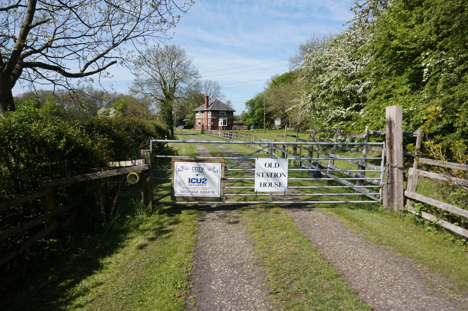
Thorpe in Balne Images
Images are sourced within 2km of 53.591023/-1.104788 or Grid Reference SE5910. Thanks to Geograph Open Source API. All images are credited.


Thorpe in Balne is located at Grid Ref: SE5910 (Lat: 53.591023, Lng: -1.104788)
Division: West Riding
Administrative County: South Yorkshire
District: Doncaster
Police Authority: South Yorkshire
What 3 Words
///cropping.rear.carting. Near Moss, South Yorkshire
Nearby Locations
Related Wikis

Thorpe in Balne
Thorpe in Balne is a village and civil parish in the Metropolitan Borough of Doncaster in South Yorkshire, England. It had a population of 176 at the...
Thorpe-in-Balne railway station
Thorpe-in-Balne railway station was an unopened railway station on the Hull and Barnsley and Great Central Joint Railway. It was situated about 1 mile...

Ea Beck
The Ea Beck, also spelled Eaubeck or Eau Beck, is a small river in South Yorkshire, England, that flows eastwards into the River Don at Thorpe-in-Balne...

Joan Croft Halt railway station
Joan Croft Halt railway station was a small halt on the East Coast Main Line (ECML) situated by a level crossing at Joan Croft Junction in South Yorkshire...

North Doncaster Chord
The North Doncaster Chord (also known as the Shaftholme Flyover) is a railway connection (chord) between the freight only lines between Hatfield & Stainforth...

Thorpe Marsh Nature Reserve
Thorpe Marsh Nature Reserve is a 77-hectare (190-acre) nature reserve located south-west of Thorpe in Balne, north of Doncaster in South Yorkshire, England...
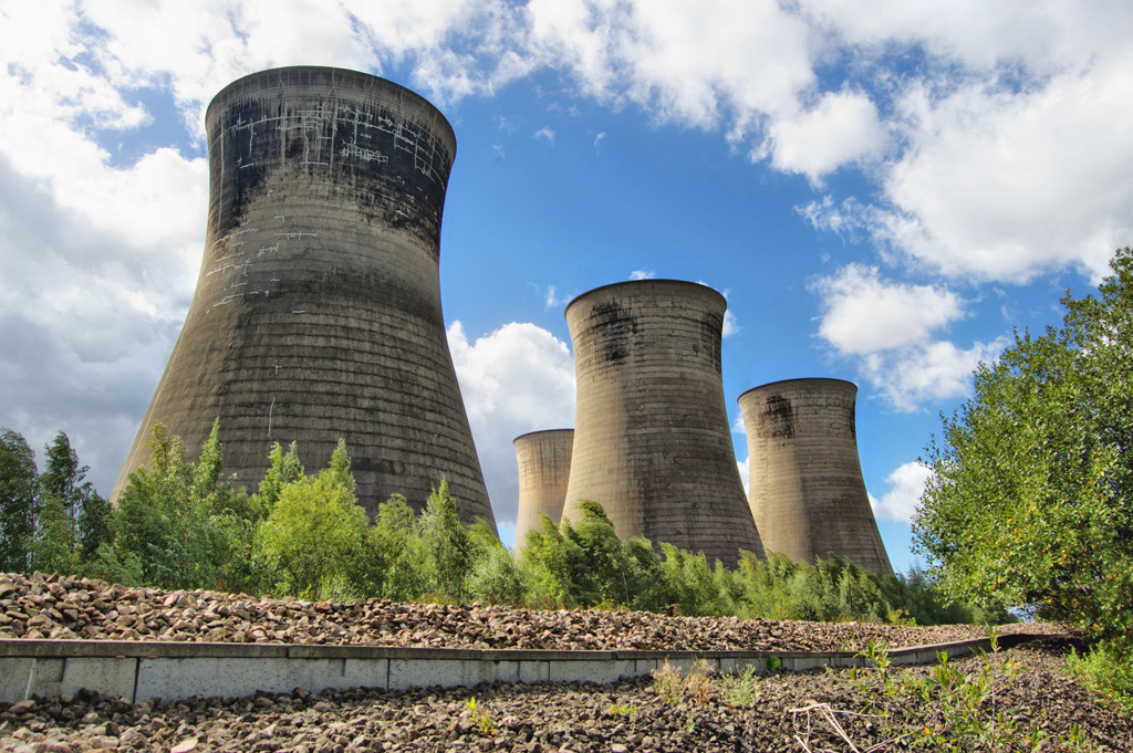
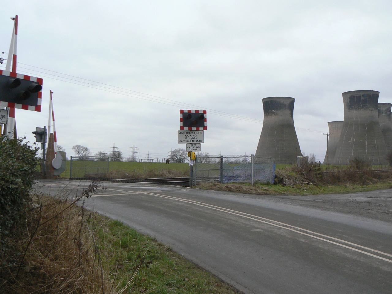
Thorpe Marsh Power Station
Thorpe Marsh Power Station was a 1 GW coal-fired power station near Barnby Dun in South Yorkshire, England. The station was commissioned in 1963 and closed...
Bramwith railway station (West Riding and Grimsby Railway)
Bramwith (WR&G) railway station, which was named Barnby Dun on opening, believed to be 1872, due to its close proximity to the village of that name, took...
Nearby Amenities
Located within 500m of 53.591023,-1.104788Have you been to Thorpe in Balne?
Leave your review of Thorpe in Balne below (or comments, questions and feedback).