Allanaquoich

Settlement in Aberdeenshire

Scotland

Allanaquoich

River Dee, near Inverey
River Dee, near Inverey Credit: Steven Brown

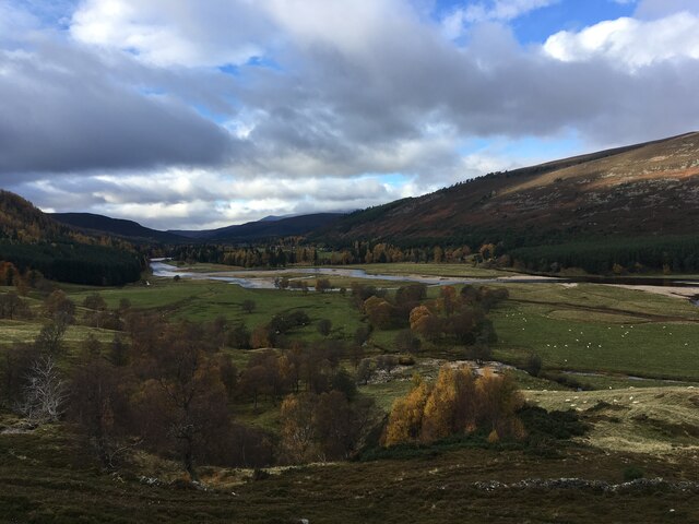
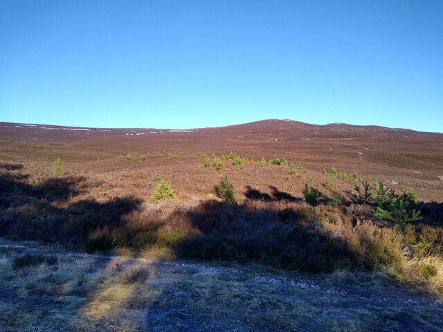
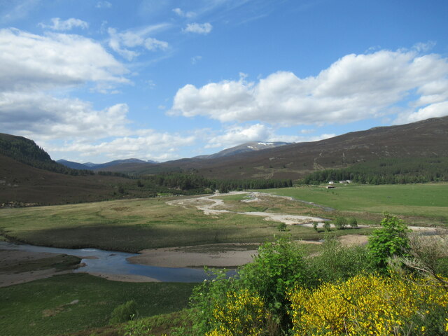
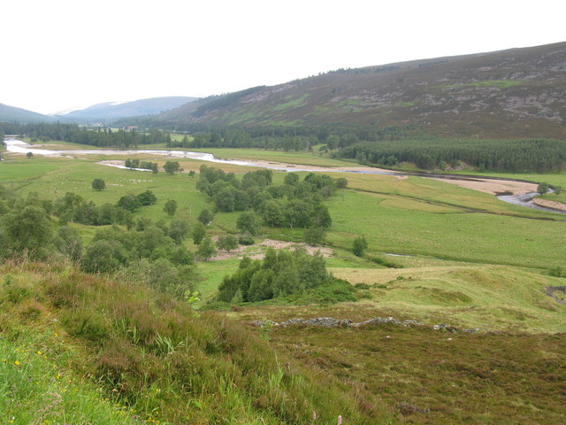
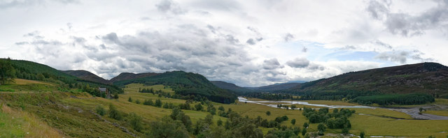
Allanaquoich is a small village located in Aberdeenshire, Scotland. Situated in the picturesque Cairngorms National Park, it is surrounded by stunning natural beauty, making it a popular destination for nature enthusiasts and outdoor activities.

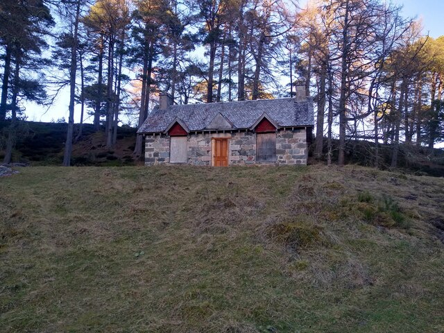
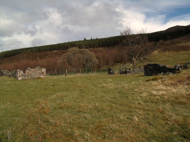
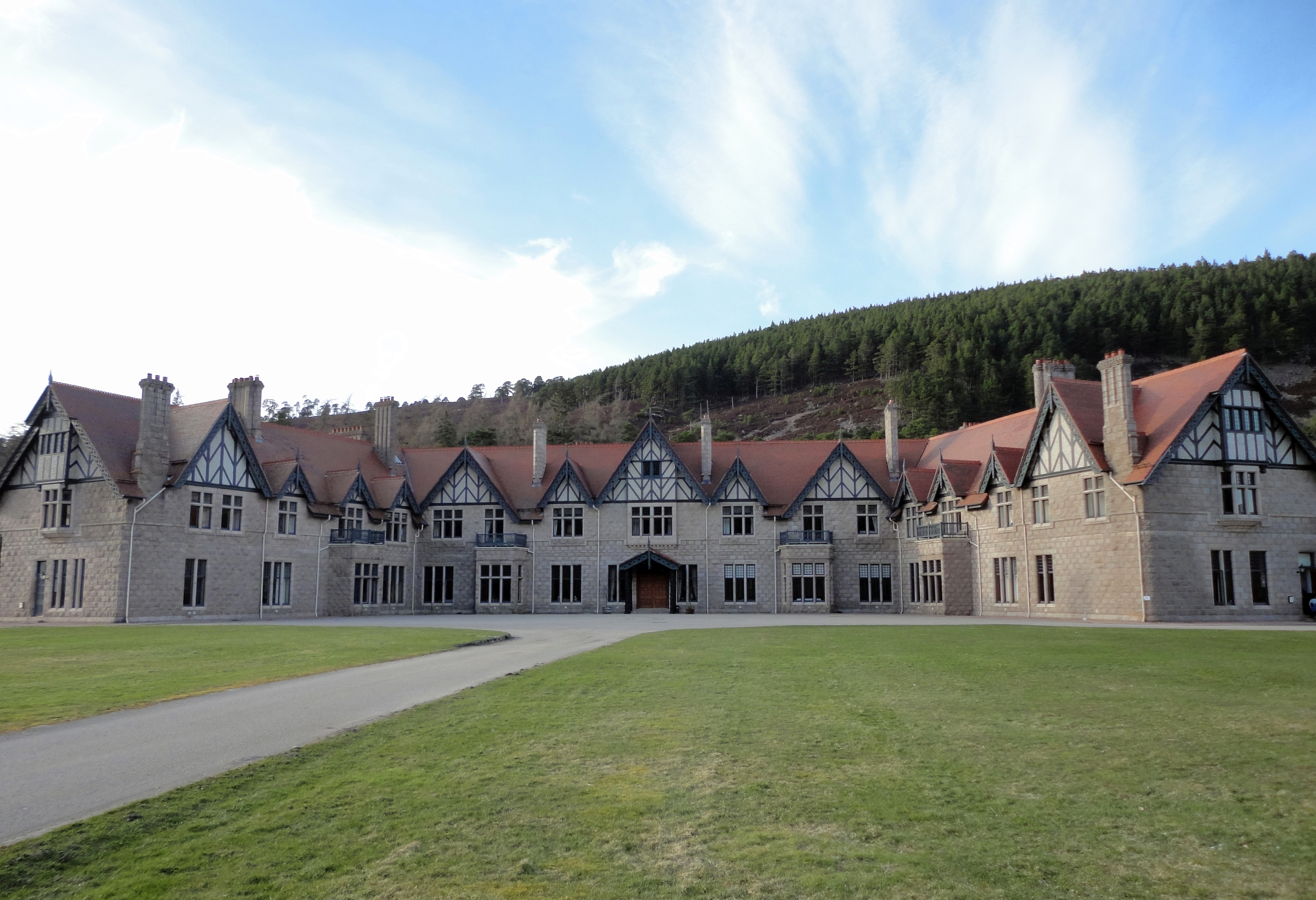
The village itself is home to a close-knit community of approximately 200 residents. It features a collection of charming cottages, some of which date back several centuries, giving the area a traditional and historic feel. The local architecture is characterized by stone buildings with slate roofs, adding to the village's rustic charm.

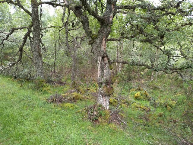
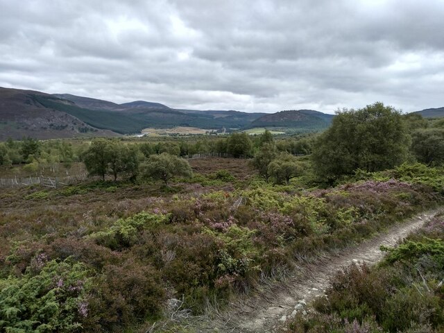
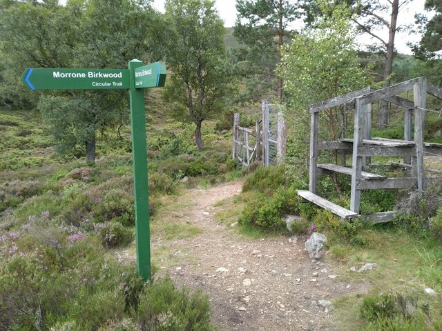
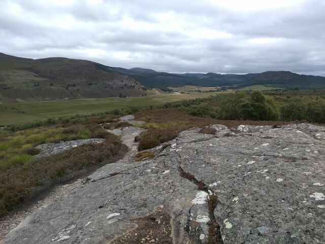
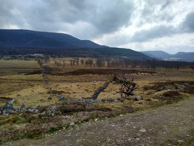
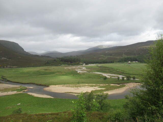
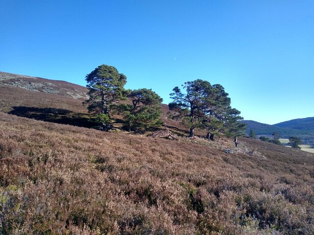
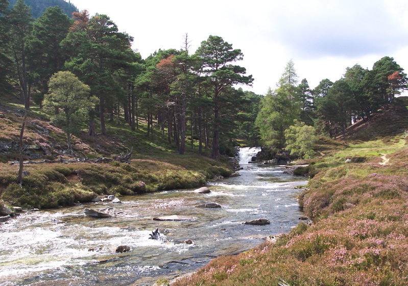
Allanaquoich is known for its tranquil atmosphere, providing a peaceful retreat for those seeking solace in nature. The surrounding countryside offers numerous hiking trails, allowing visitors to explore the breathtaking landscapes of the Cairngorms. The village is also close to the River Dee, renowned for its salmon fishing, attracting anglers from all over.

Despite its small size, Allanaquoich boasts a few local amenities. These include a community center, a primary school, and a small general store, providing essential goods to residents and visitors alike. The village is well-connected to nearby towns and cities, with good transportation links ensuring easy access to amenities and services.

Overall, Allanaquoich offers a glimpse into the traditional Scottish way of life, with its idyllic setting, historic buildings, and strong sense of community. It is a place where nature takes center stage, allowing visitors to immerse themselves in the beauty of the Scottish countryside.

If you have any feedback on the listing, please let us know in the comments section below.
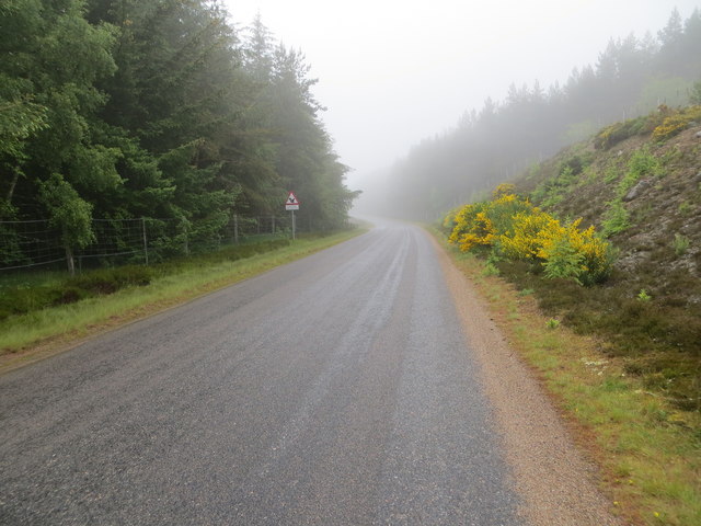
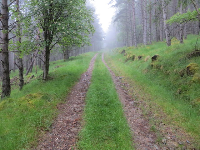
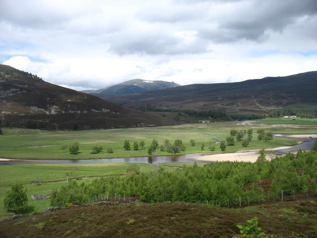
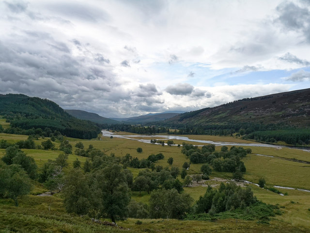
Allanaquoich Images

Images are sourced within 2km of 57.00174/-3.4503259 or Grid Reference NO1291. Thanks to Geograph Open Source API. All images are credited.

River Dee, near Inverey
Morrone Birkwood Besides its birch trees, Morrone birkwood is also notable for underlying swathes of juniper bushes.
Morrone Birkwood
Besides its birch trees, Morrone birkwood is also notable for underlying swathes of juniper bushes.
Morrone Birkwood and Strathdee
Morrone Birkwood Signpost
Rock Outcrop in Morrone Birkwood A granite outcrop pushes its way through the peaty soil.
Rock Outcrop in Morrone Birkwood
A granite outcrop pushes its way through the peaty soil.
Sparse woodland in the flood plain The bed of the River Dee is behind the trees.
Sparse woodland in the flood plain
The bed of the River Dee is behind the trees.
Confluence of the Quoich and the Dee A shower is passing through, on a day of sunshine and showers.

The snow patches visible on the distant Beinn a' Bhuird are at the site nicknamed 'The Laird's Tablecloth': <a href="https://www.geograph.org.uk/photo/7212577">NO0997 : Snow patches in Ear-choire Sneachdach, Beinn a' Bhuird</a>
Confluence of the Quoich and the Dee
A shower is passing through, on a day of sunshine and showers. The snow patches visible on the distant Beinn a' Bhuird are at the site nicknamed 'The Laird's Tablecloth': NO0997 : Snow patches in Ear-choire Sneachdach, Beinn a' Bhuird
Turn in the path This group of trees marks the point where the hillpath turns from a westerly direction, gently sloping uphill, to a more direct northern steep approach. The comfortable path eventually peters out near the summit of Creag a' Chleirich.
Turn in the path
This group of trees marks the point where the hillpath turns from a westerly direction, gently sloping uphill, to a more direct northern steep approach. The comfortable path eventually peters out near the summit of Creag a' Chleirich.
Sunlit building Queen Victoria's Tearoom has been boarded up for a while, at least since 2007. It looks pretty intact and seems to have a new door. <a href="https://www.geograph.org.uk/photo/580449">NO1191 : Queen Victoria's Tea Room</a>
Sunlit building
Queen Victoria's Tearoom has been boarded up for a while, at least since 2007. It looks pretty intact and seems to have a new door. NO1191 : Queen Victoria's Tea Room
Toddler trees When walking through the slopes above River Quoich, one can see how the woodland is conquering the bare hillside - without fencing, but with deer management in place.
Toddler trees
When walking through the slopes above River Quoich, one can see how the woodland is conquering the bare hillside - without fencing, but with deer management in place.
Confluence of the Dee and the Quoich There is little water in the rivers in the midst of a very dry spell of weather. Ben a' Bhuird is prominent in the distance, with its remaining patches of snow in Ear-choire Sneachdach (the 'east snowy corrie').
Confluence of the Dee and the Quoich
There is little water in the rivers in the midst of a very dry spell of weather. Ben a' Bhuird is prominent in the distance, with its remaining patches of snow in Ear-choire Sneachdach (the 'east snowy corrie').
Valley of the River Dee Looking west from a lay-by on the minor road from Braemar to the Linn of Dee.
Valley of the River Dee
Looking west from a lay-by on the minor road from Braemar to the Linn of Dee.
Road between Linn of Dee and Braemar at Alltachlair Looking north-eastward.
Road between Linn of Dee and Braemar at Alltachlair
Looking north-eastward.
Forest track near to Alltachlair Looking north-eastward.
Forest track near to Alltachlair
Looking north-eastward.
Across the River Dee Looking to Beinn a' Bhuird in the distance.
Across the River Dee
Looking to Beinn a' Bhuird in the distance.
River Dee near Mar Lodge This is the view from an authorised viewpoint for tourists.  You are invited to place your camera in a special cradle facing this view.  Naturally this feature is in a Parking area.
River Dee near Mar Lodge
This is the view from an authorised viewpoint for tourists. You are invited to place your camera in a special cradle facing this view. Naturally this feature is in a Parking area.
Valley of the River Dee near Mar Lodge A stitch of three images to portray the width of the Dee valley.
Valley of the River Dee near Mar Lodge
A stitch of three images to portray the width of the Dee valley.
Alltachlair, near Braemar The remains of a former township near the modern village of Braemar.
Alltachlair, near Braemar
The remains of a former township near the modern village of Braemar.
Show me another place!

Allanaquoich is located at Grid Ref: NO1291 (Lat: 57.00174, Lng: -3.4503259)

Unitary Authority: Aberdeenshire

Police Authority: North East

What 3 Words

///trailing.mystified.ferried. Near Inverey, Aberdeenshire

Nearby Locations

Allanaquoich

Related Wikis

Nearby Amenities

Located within 500m of 57.00174,-3.4503259
Information: board
Source: survey
Tourism: information
Lat/Long: 57.0017953/-3.4551828
Power: pole
Lat/Long: 57.0040908/-3.4449917
Power: pole
Lat/Long: 57.0036935/-3.446601
Power: pole
Lat/Long: 57.0033809/-3.4482694
Power: pole
Lat/Long: 57.002931/-3.4502757
Ford: yes
Lat/Long: 57.0023888/-3.4532235
Power: pole
Lat/Long: 57.0025926/-3.4517996
Power: pole
Lat/Long: 57.0022349/-3.4535083
Power: pole
Lat/Long: 57.0020474/-3.4544063
Power: pole
Lat/Long: 57.0012171/-3.4557136
Power: pole
Lat/Long: 57.0003996/-3.4570447
Power: pole
Lat/Long: 57.0049306/-3.4499862
Power: pole
Lat/Long: 57.0041634/-3.4491422
Ford: yes
Lat/Long: 57.0029017/-3.4527904
The data included in this document is from www.openstreetmap.org. The data is made available under ODbL.

Have you been to Allanaquoich?

Leave your review of Allanaquoich below (or comments, questions and feedback).