Tathwell

Civil Parish in Lincolnshire East Lindsey

England

Tathwell

Tathwell Long Barrow north of Cadwell: aerial 2022 See <span class="nowrap"><a title="https://www.heritagegateway.org.uk/Gateway/Results_Single.aspx?uid=MLI43625&resourceID=1006" rel="nofollow ugc noopener" href="https://www.heritagegateway.org.uk/Gateway/Results_Single.aspx?uid=MLI43625&resourceID=1006">Link</a><img style="margin-left:2px;" alt="External link" title="External link - shift click to open in new window" src="https://s1.geograph.org.uk/img/external.png" width="10" height="10"/></span>
Tathwell Long Barrow north of Cadwell: aerial 2022 Credit: Chris

The requested URL returned error: 429 Too Many Requests

If you have any feedback on the listing, please let us know in the comments section below.
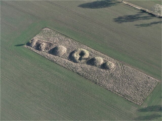
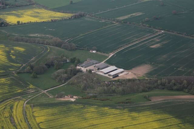
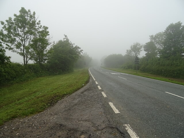
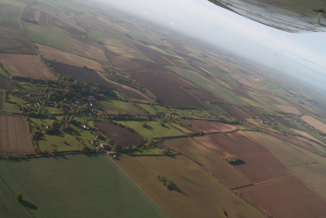
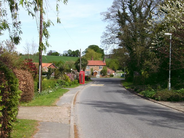
Tathwell Images

Images are sourced within 2km of 53.320671/-0.030471 or Grid Reference TF3182. Thanks to Geograph Open Source API. All images are credited.

Tathwell Long Barrow north of Cadwell: aerial 2022 See <span class="nowrap"><a title="https://www.heritagegateway.org.uk/Gateway/Results_Single.aspx?uid=MLI43625&resourceID=1006" rel="nofollow ugc noopener" href="https://www.heritagegateway.org.uk/Gateway/Results_Single.aspx?uid=MLI43625&resourceID=1006">Link</a><img style="margin-left:2px;" alt="External link" title="External link - shift click to open in new window" src="https://s1.geograph.org.uk/img/external.png" width="10" height="10"/></span>
Tathwell Long Barrow north of Cadwell: aerial 2022
See LinkExternal link
Barrow Cemetery, Bully Hill, Tathwell: aerial 2022 See: <span class="nowrap"><a title="https://www.heritagegateway.org.uk/Gateway/Results_Single.aspx?uid=MLI43562&resourceID=1006" rel="nofollow ugc noopener" href="https://www.heritagegateway.org.uk/Gateway/Results_Single.aspx?uid=MLI43562&resourceID=1006">Link</a><img style="margin-left:2px;" alt="External link" title="External link - shift click to open in new window" src="https://s1.geograph.org.uk/img/external.png" width="10" height="10"/></span>
Barrow Cemetery, Bully Hill, Tathwell: aerial 2022
See: LinkExternal link
Tathwell Grange: aerial 2022
Orgarth Hill, Tathwell: aerial 2022
Road junction
Road junction
Cereal crop off New Lane
New Lane towards the A153
Gated farm track off the A153
Horncastle Road (A153) Towards Cadwell.
Horncastle Road (A153)
Towards Cadwell.
Field entrance off Horncastle Road (A153)
Horncastle Road (A153) towards Cadwell
Farmland between Dovendale and Cadwell Looking towards Poke's Hole across the sweeping Wolds countryside along the Horncastle Road. Tathwell Long Barrow is just out of sight on the left. <span class="nowrap"><a title="http://www.themodernantiquarian.com/post/22589" rel="nofollow ugc noopener" href="http://www.themodernantiquarian.com/post/22589">Link</a><img style="margin-left:2px;" alt="External link" title="External link - shift click to open in new window" src="https://s1.geograph.org.uk/img/external.png" width="10" height="10"/></span>
Farmland between Dovendale and Cadwell
Looking towards Poke's Hole across the sweeping Wolds countryside along the Horncastle Road. Tathwell Long Barrow is just out of sight on the left. LinkExternal link
Cadwell Vale Farmland alongside Cadwell Park motor racing circuit. The lane on the right is used as an exit lane for retrieving broken down vehicles from part of the circuit.   Yarrow (Achillea millefolium) flowering in the verge.
Cadwell Vale
Farmland alongside Cadwell Park motor racing circuit. The lane on the right is used as an exit lane for retrieving broken down vehicles from part of the circuit. Yarrow (Achillea millefolium) flowering in the verge.
Memorial Flight over Cadwell Park The Battle of Britain Memorial Flight of a Lancaster (centre), Spitfire and Hurricane turning in to make a pass over Cadwell Park. The Flight is based nearby at RAF Coningsby.  A second stunning low flying display of swallows at 0.5m was seen on the same day outside the paddock buildings, but I was far too slow to catch them in action.
Memorial Flight over Cadwell Park
The Battle of Britain Memorial Flight of a Lancaster (centre), Spitfire and Hurricane turning in to make a pass over Cadwell Park. The Flight is based nearby at RAF Coningsby. A second stunning low flying display of swallows at 0.5m was seen on the same day outside the paddock buildings, but I was far too slow to catch them in action.
Horncastle Road (A153)
Along a branch of the River Lud from Tathwell to Maltby: aerial 2016 See also <a href="https://www.geograph.org.uk/photo/5194890">TF3184 : Along a branch of the River Lud from Maltby to Raithby: aerial 2016</a> for continuation right of camera.
Along a branch of the River Lud from Tathwell to Maltby: aerial 2016
Tathwell, Dovendale and two valleys: aerial 2017 New Lane runs up the centre, A16 and Dovendale come in on the right.

Unnamed valley left of and parallel to New Lane.

Shot extends into neighbouring squares.
Tathwell, Dovendale and two valleys: aerial 2017
New Lane runs up the centre, A16 and Dovendale come in on the right. Unnamed valley left of and parallel to New Lane. Shot extends into neighbouring squares.
Water in the moat at Tathwell: aerial 2018 Probable Medieval moat and fishponds. These could represent the remains of a manorial complex.

For details see <a href="https://www.geograph.org.uk/photo/5645903">TF3183 : Moated site north-west of Tathwell Cottage: aerial 2018</a>.

Maltby Springs left.
Water in the moat at Tathwell: aerial 2018
Probable Medieval moat and fishponds. These could represent the remains of a manorial complex. For details see TF3183 : Moated site north-west of Tathwell Cottage: aerial 2018. Maltby Springs left.
Show me another place!

Tathwell is located at Grid Ref: TF3182 (Lat: 53.320671, Lng: -0.030471)

Administrative County: Lincolnshire

District: East Lindsey

Police Authority: Lincolnshire

What 3 Words

///facing.deck.blurs. Near Burwell, Lincolnshire

Nearby Locations

Tathwell

Related Wikis

Tathwell

Tathwell is a village in the East Lindsey district of Lincolnshire, England. Tathwell is situated approximately 3 miles (5 km) south from the market town...

Maltby, Lincolnshire

Maltby is a hamlet in the East Lindsey district of Lincolnshire, England. It forms part of Raithby cum Maltby civil parish, and is situated on the A153...

Maltby Preceptory

Maltby Preceptory was a house of the Knights Hospitaller in the village of Maltby, Lincolnshire, England. There are two differing accounts regarding its...

Haugham Priory

Haugham Priory was a Benedictine priory in Lincolnshire, England. The priory of Haugham was built upon land granted by Hugh, Earl of Chester, at the end...

Nearby Amenities

Located within 500m of 53.320671,-0.030471
Tathwell Grange
Place: farm
Source: Bing
Lat/Long: 53.3170686/-0.0320038
Power: pole
Lat/Long: 53.3162882/-0.0320097
Power: pole
Lat/Long: 53.3171695/-0.0315122
Power: pole
Lat/Long: 53.3176454/-0.030163
Power: pole
Lat/Long: 53.3177063/-0.031543
Power: pole
Lat/Long: 53.317756/-0.0324711
Power: pole
Lat/Long: 53.3185186/-0.0326373
Power: pole
Lat/Long: 53.319238/-0.0328761
The data included in this document is from www.openstreetmap.org. The data is made available under ODbL.

Have you been to Tathwell?

Leave your review of Tathwell below (or comments, questions and feedback).