Bryn'refail

Settlement in Caernarfonshire

Wales

Bryn'refail

WWII Defences of North Wales: Lake View Hotel, Llanberis -
Minefield: EDoB ID: e46184 

Concrete landmine sockets in the old road surface in the car park of the Lake View Hotel. I got some curious looks from patrons of the hotel photographing these!
WWII Defences of North Wales: Lake View Hotel, Llanberis Credit: Mike Searle

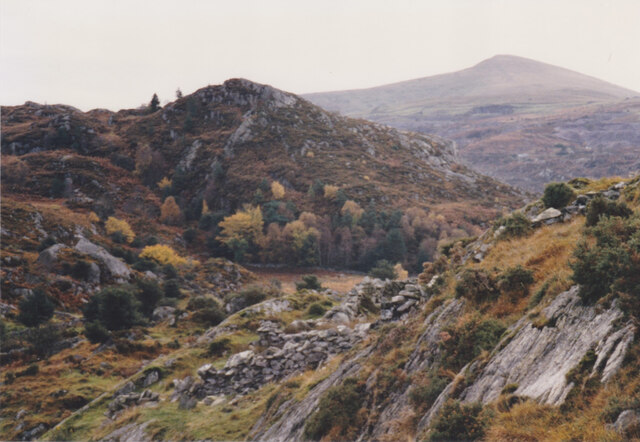
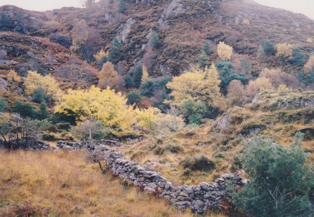
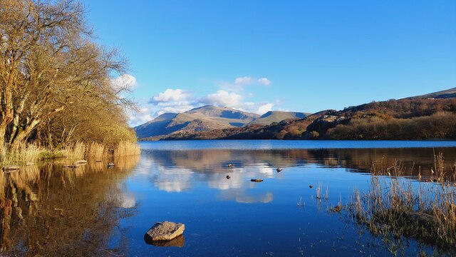
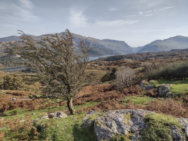
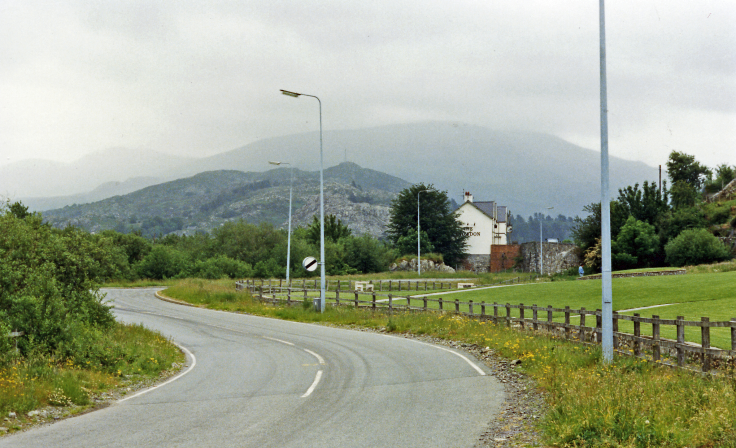
Bryn'refail is a small village located in the historic county of Caernarfonshire, Wales. Situated on the northern coast of the country, it lies approximately 6 miles south of the town of Caernarfon. The village is nestled amidst the picturesque landscapes of Snowdonia National Park, offering residents and visitors breathtaking views of the surrounding mountains and countryside.

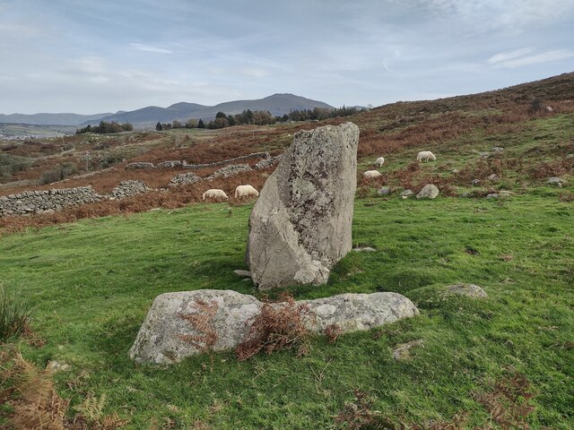
With a population of around 400 people, Bryn'refail is known for its close-knit community and friendly atmosphere. The village primarily consists of traditional Welsh stone cottages, which add to its charm and character. The local economy is mainly reliant on agriculture, with many residents involved in farming and sheep rearing.

In terms of amenities, Bryn'refail boasts a small primary school, providing education for children in the village and surrounding areas. The nearest secondary school and other essential services can be found in Caernarfon. The village also has a community center that serves as a hub for social gatherings and events.

For outdoor enthusiasts, Bryn'refail offers numerous opportunities for exploration and adventure. The nearby Snowdonia National Park provides a wealth of activities, including hiking, mountain biking, and climbing. Additionally, the stunning coastline is within easy reach, offering beautiful beaches and water sports such as sailing and surfing.

Overall, Bryn'refail offers a tranquil and idyllic setting for those seeking a slower pace of life surrounded by natural beauty. It is a place where locals and visitors alike can embrace the rich Welsh culture and immerse themselves in the stunning landscapes that define this part of Caernarfonshire.

If you have any feedback on the listing, please let us know in the comments section below.
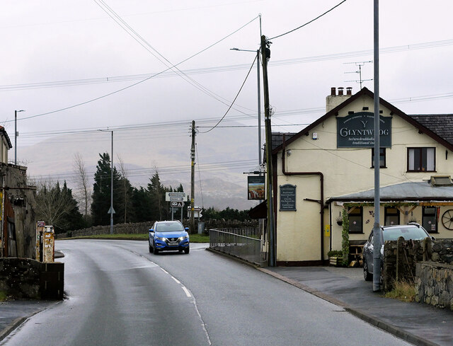
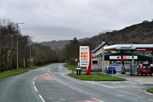
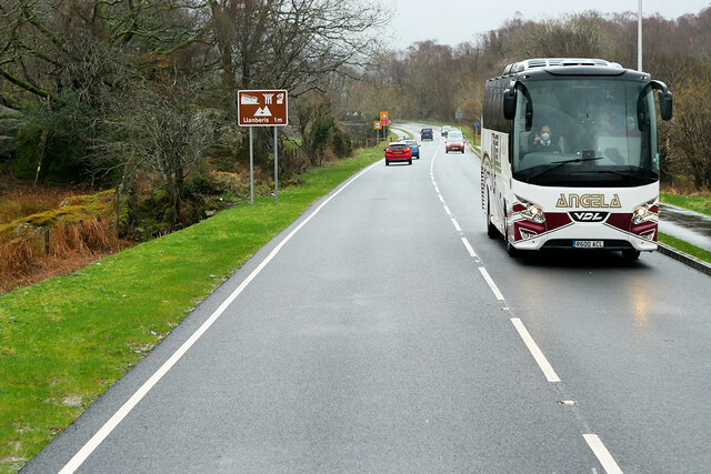
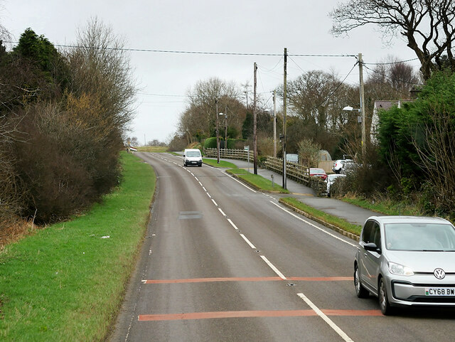
Bryn'refail Images

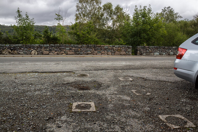
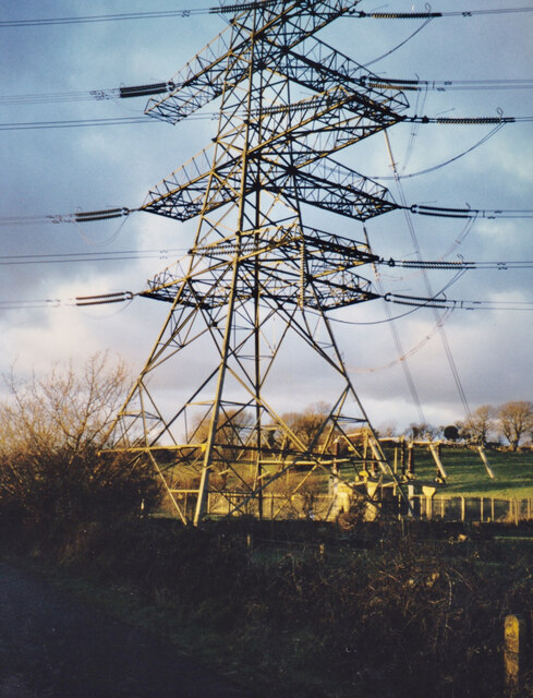
Images are sourced within 2km of 53.143508/-4.156094 or Grid Reference SH5562. Thanks to Geograph Open Source API. All images are credited.

WWII Defences of North Wales: Lake View Hotel, Llanberis -
Minefield: EDoB ID: e46184 

Concrete landmine sockets in the old road surface in the car park of the Lake View Hotel. I got some curious looks from patrons of the hotel photographing these!
WWII Defences of North Wales: Lake View Hotel, Llanberis
- Minefield: EDoB ID: e46184 Concrete landmine sockets in the old road surface in the car park of the Lake View Hotel. I got some curious looks from patrons of the hotel photographing these!
Trackway Near Waun
Trackway Near Waun
A Neglected Stile
A Neglected Stile
Connector pylon at the Stabla ESS
Craig Llew from the Clegyr Path These are some of the oldest rocks in Wales. Moel Eilio forms the background.
Craig Llew from the Clegyr Path
These are some of the oldest rocks in Wales. Moel Eilio forms the background.
Wooded wetland below Craig Llew The walls are  the work of early 18thC quarrymen-farmers who carved small holdings from the wastes. This dual economy remained a feature of the slate quarrying districts of Caernarvonshire until the 1960s/
Wooded wetland below Craig Llew
The walls are the work of early 18thC quarrymen-farmers who carved small holdings from the wastes. This dual economy remained a feature of the slate quarrying districts of Caernarvonshire until the 1960s/
Field of sheep at Tyddin Hendre A field of sheep at Tyddin Hendre farm near Penisa'r Waun.
Field of sheep at Tyddin Hendre
A field of sheep at Tyddin Hendre farm near Penisa'r Waun.
Y Glyntywrog, Llanberis Road The A4086 runs for almost 18 miles between Caernarfon and Capel Curig. It is a popular tourist route as it passes through some of the most memorable and famous parts of Snowdonia including the Llanberis Pass.
Y Glyntywrog, Llanberis Road
The A4086 runs for almost 18 miles between Caernarfon and Capel Curig. It is a popular tourist route as it passes through some of the most memorable and famous parts of Snowdonia including the Llanberis Pass.
London Garage, Maes Gerddi The A4086 runs for almost 18 miles between Caernarfon and Capel Curig. It is a popular tourist route as it passes through some of the most memorable and famous parts of Snowdonia including the Llanberis Pass.
London Garage, Maes Gerddi
The A4086 runs for almost 18 miles between Caernarfon and Capel Curig. It is a popular tourist route as it passes through some of the most memorable and famous parts of Snowdonia including the Llanberis Pass.
Angela's Coach near Llanberis Angela Coaches' VDL Futura coach (R600 ACL) on the A4086 road about one mile outside Llanberis.
Angela's Coach near Llanberis
Angela Coaches' VDL Futura coach (R600 ACL) on the A4086 road about one mile outside Llanberis.
A4244 near Bryn Derw The A4244 is a relatively short (6½ miles) rural A-road in north Caernarfonshire. It connects the A5/A55 (near the Llys-y-gwynt junction) with the A4086 at Brynrefail, just outside Llanberis.
A4244 near Bryn Derw
The A4244 is a relatively short (6½ miles) rural A-road in north Caernarfonshire. It connects the A5/A55 (near the Llys-y-gwynt junction) with the A4086 at Brynrefail, just outside Llanberis.
Llyn Padarn and the Snowdon Massif April evening sunshine on Llyn Padarn and the Snowdon Massif.  
Taken from Pont Pen-y-llyn at the northwestern end of Llyn Padarn; looking along the lake towards Llanberis.
Llyn Padarn and the Snowdon Massif
April evening sunshine on Llyn Padarn and the Snowdon Massif. Taken from Pont Pen-y-llyn at the northwestern end of Llyn Padarn; looking along the lake towards Llanberis.
Below Pen-y-bwlch
Below Pen-y-bwlch
Parc-y-Gleision Standing Stone
Covered Reservoir, Parc-y-Gleision
Old Road Part of the old A.4086 now bypassed near to Llanberis, Gwynedd.
Old Road
Part of the old A.4086 now bypassed near to Llanberis, Gwynedd.
Lilypads on a pond near Llyn Padarn A healthy growth of lilypads here, with a young moorhen stalking across the pads.
Lilypads on a pond near Llyn Padarn
A healthy growth of lilypads here, with a young moorhen stalking across the pads.
Footpath into the disused railway tunnel near Llyn Padarn The footpath here enters the old railway tunnel.
Footpath into the disused railway tunnel near Llyn Padarn
The footpath here enters the old railway tunnel.
Show me another place!

Bryn'refail is located at Grid Ref: SH5562 (Lat: 53.143508, Lng: -4.156094)

Unitary Authority: Gwynedd

Police Authority: North Wales

Also known as: Brynrefail

What 3 Words

///quintet.optimally.over. Near Deiniolen, Gwynedd

Related Wikis

Brynrefail, Gwynedd

Brynrefail () is a small village in Gwynedd, Wales which straddles the A4244 road roughly between Deiniolen and Llanberis. The village is in the Arfon...

Penllyn railway station (Wales)

Penllyn (LLR) railway station is the northern terminus of the Llanberis Lake Railway (LLR), located near Llanberis, Gwynedd, Wales. The station has no...

Cwm-y-Glo railway station

Cwm-y-Glo railway station served the village of Cwm-y-glo, Gwynedd, Wales, at the north-west end of Llyn Padarn. The station was closed for regular passenger...

Cwm-y-glo

Cwm-y-glo is a small village in Wales, 4+1⁄2 miles (7 km) east of Caernarfon, between Llanberis and Llanrug. It is in the Arfon Parliamentary constituency...

Nearby Amenities

Located within 500m of 53.143508,-4.156094
Post Office
Brynrefail Post Office
Addr Postcode: LL55 3NR
Branch: Brynrefail
Brand: Post Office
Brand Wikidata: Q1783168
Check Date: 2020-02-20
Contact Website: https://www.postoffice.co.uk/branch-finder/2116049/brynrefail
Ref Pol Id: 7646
Lat/Long: 53.1425356/-4.1543022
Power: pole
Lat/Long: 53.144055/-4.1558727
Power: pole
Lat/Long: 53.1455198/-4.1608428
Traffic Calming: yes
Lat/Long: 53.1453385/-4.1561964
Power: pole
Lat/Long: 53.1448618/-4.1591222
Power: pole
Lat/Long: 53.1453032/-4.1602711
Power: pole
Lat/Long: 53.1443086/-4.1568808
Traffic Calming: yes
Lat/Long: 53.1448228/-4.1557457
Power: pole
Lat/Long: 53.1455453/-4.1598299
Power: pole
Lat/Long: 53.1445578/-4.1578857
Power: pole
Lat/Long: 53.1455316/-4.1602483
Power: pole
Lat/Long: 53.1437459/-4.1547042
Power: pole
Lat/Long: 53.1459743/-4.1620619
Power: pole
Lat/Long: 53.1404166/-4.157452
Power: pole
Lat/Long: 53.1395266/-4.1574173
Power: pole
Lat/Long: 53.1409714/-4.1574737
Power: pole
Lat/Long: 53.1415187/-4.1575034
Power: pole
Lat/Long: 53.1420276/-4.1565979
Power: pole
Lat/Long: 53.1422121/-4.1562802
Power: pole
Lat/Long: 53.1435688/-4.153921
Power: pole
Lat/Long: 53.1431425/-4.1563162
Power: transformer
Lat/Long: 53.1412377/-4.1563002
Power: pole
Lat/Long: 53.1425666/-4.1556698
Power: pole
Lat/Long: 53.1443363/-4.1548893
Power: pole
Lat/Long: 53.1447256/-4.1545459
Power: pole
Lat/Long: 53.1451439/-4.1541597
Power: pole
Lat/Long: 53.1455284/-4.1538244
Power: pole
Lat/Long: 53.1458727/-4.153516
Power: pole
Lat/Long: 53.1461735/-4.153237
Power: pole
Lat/Long: 53.1466207/-4.1528347
Power: pole
Lat/Long: 53.1470969/-4.1524485
Power: pole
Lat/Long: 53.143219/-4.1537761
Power: pole
Lat/Long: 53.1433171/-4.1529366
Power: pole
Lat/Long: 53.1435584/-4.1524324
Power: pole
Lat/Long: 53.1440588/-4.1512817
Power: pole
Lat/Long: 53.1443966/-4.150292
Power: pole
Lat/Long: 53.1447683/-4.1492808
Power: pole
Lat/Long: 53.1440692/-4.1548088
Brynrefail
Place: village
Wikidata: Q4981035
Lat/Long: 53.1437503/-4.1564196
Power: pole
Lat/Long: 53.1428932/-4.152116
Power: pole
Lat/Long: 53.1428626/-4.152639
Power: pole
Lat/Long: 53.142317/-4.1526131
Power: pole
Lat/Long: 53.1418474/-4.1525773
Power: pole
Lat/Long: 53.142927/-4.1514481
Power: pole
Lat/Long: 53.1416431/-4.157239
Pont Brynrefail
Place: locality
Lat/Long: 53.1436888/-4.1539079
Methodist Capel Brynrefail War Memorial
Historic: memorial
Lat/Long: 53.1423971/-4.1537504
Barrier: kissing_gate
Lat/Long: 53.1451186/-4.1620571
Direction: 125
Generator Method: photovoltaic
Generator Output Electricity: yes
Generator Solar Modules: 6
Generator Source: solar
Generator Type: solar_photovoltaic_panel
Location: roof
Power: generator
Lat/Long: 53.1436791/-4.1611187
Direction: 125
Generator Method: photovoltaic
Generator Output Electricity: yes
Generator Solar Modules: 4
Generator Source: solar
Generator Type: solar_photovoltaic_panel
Location: roof
Power: generator
Lat/Long: 53.1435834/-4.1611952
Direction: SSE
Generator Method: photovoltaic
Generator Output Electricity: yes
Generator Solar Modules: 14
Generator Source: solar
Generator Type: solar_photovoltaic_panel
Location: roof
Power: generator
Lat/Long: 53.1473655/-4.1547552
Direction: 175
Generator Method: photovoltaic
Generator Output Electricity: yes
Generator Solar Modules: 15
Generator Source: solar
Generator Type: solar_photovoltaic_panel
Location: roof
Power: generator
Lat/Long: 53.1466304/-4.1570404
Direction: 175
Generator Method: photovoltaic
Generator Output Electricity: yes
Generator Solar Modules: 12
Generator Source: solar
Generator Type: solar_photovoltaic_panel
Location: roof
Power: generator
Lat/Long: 53.1460561/-4.156276
Direction: 175
Generator Method: photovoltaic
Generator Output Electricity: yes
Generator Solar Modules: 16
Generator Source: solar
Generator Type: solar_photovoltaic_panel
Location: roof
Power: generator
Lat/Long: 53.1465789/-4.1563109
Direction: 175
Generator Method: photovoltaic
Generator Output Electricity: yes
Generator Solar Modules: 14
Generator Source: solar
Generator Type: solar_photovoltaic_panel
Location: roof
Power: generator
Lat/Long: 53.1465918/-4.1557543
Direction: 175
Generator Method: photovoltaic
Generator Output Electricity: yes
Generator Solar Modules: 16
Generator Source: solar
Generator Type: solar_photovoltaic_panel
Location: roof
Power: generator
Lat/Long: 53.146591/-4.1560493
Direction: SW
Generator Method: photovoltaic
Generator Output Electricity: yes
Generator Solar Modules: 14
Generator Source: solar
Generator Type: solar_photovoltaic_panel
Location: roof
Power: generator
Lat/Long: 53.1394074/-4.1537309
Direction: 75
Generator Method: photovoltaic
Generator Output Electricity: yes
Generator Solar Modules: 4
Generator Source: solar
Generator Type: solar_photovoltaic_panel
Location: roof
Power: generator
Lat/Long: 53.14043/-4.1551133
Direction: 255
Generator Method: photovoltaic
Generator Output Electricity: yes
Generator Solar Modules: 12
Generator Source: solar
Generator Type: solar_photovoltaic_panel
Location: roof
Power: generator
Lat/Long: 53.1404314/-4.1551447
Barrier: stile
Material: wood
Source: survey;gps
Stile: stepover
Lat/Long: 53.1419586/-4.1492936
Barrier: entrance
Lat/Long: 53.1420258/-4.1497803
Barrier: kissing_gate
Lat/Long: 53.1452539/-4.1629256
The data included in this document is from www.openstreetmap.org. The data is made available under ODbL.

Have you been to Bryn'refail?

Leave your review of Bryn'refail below (or comments, questions and feedback).