Sudbourne
Civil Parish in Suffolk East Suffolk
England
Sudbourne

Sudbourne is a civil parish located in the county of Suffolk, England. It is situated on the eastern coast of the country, within the Suffolk Coastal district. The parish is approximately 4.5 miles west of the town of Aldeburgh and 3.5 miles south-east of the town of Orford.
Sudbourne covers an area of about 7 square miles and is predominantly rural in nature. The landscape is characterized by rolling hills, open fields, and pockets of woodland. The village itself is small and picturesque, with a population of around 200 residents.
The parish is known for its historical significance, with evidence of human habitation dating back to the prehistoric period. Sudbourne Hall, a Grade II listed building, is a notable landmark in the area. It was originally built in the 16th century and has been modified and expanded over the years. The hall is surrounded by well-maintained gardens and parkland.
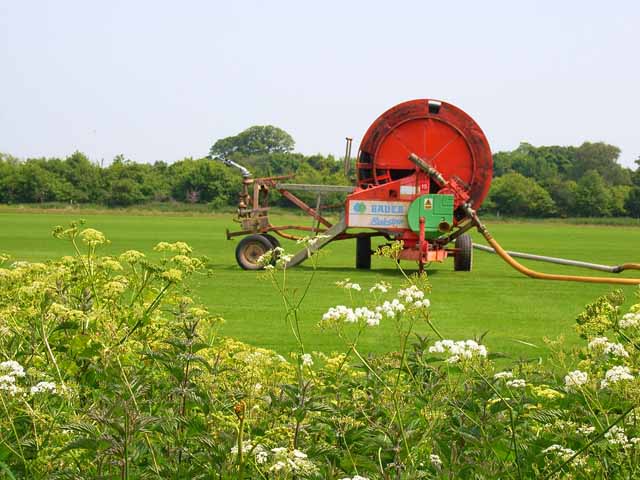
Agriculture is an important economic activity in Sudbourne, with many residents involved in farming and livestock rearing. The parish is also popular with tourists and visitors, who come to enjoy the peaceful countryside, scenic walks, and the nearby coastal attractions.
Overall, Sudbourne is a charming and idyllic rural parish in Suffolk, offering a tranquil setting, rich history, and a close-knit community for its residents.
If you have any feedback on the listing, please let us know in the comments section below.
Sudbourne Images
Images are sourced within 2km of 52.121125/1.554897 or Grid Reference TM4352. Thanks to Geograph Open Source API. All images are credited.


Sudbourne is located at Grid Ref: TM4352 (Lat: 52.121125, Lng: 1.554897)
Administrative County: Suffolk
District: East Suffolk
Police Authority: Suffolk
What 3 Words
///froth.decoded.single. Near Aldeburgh, Suffolk
Nearby Locations
Related Wikis
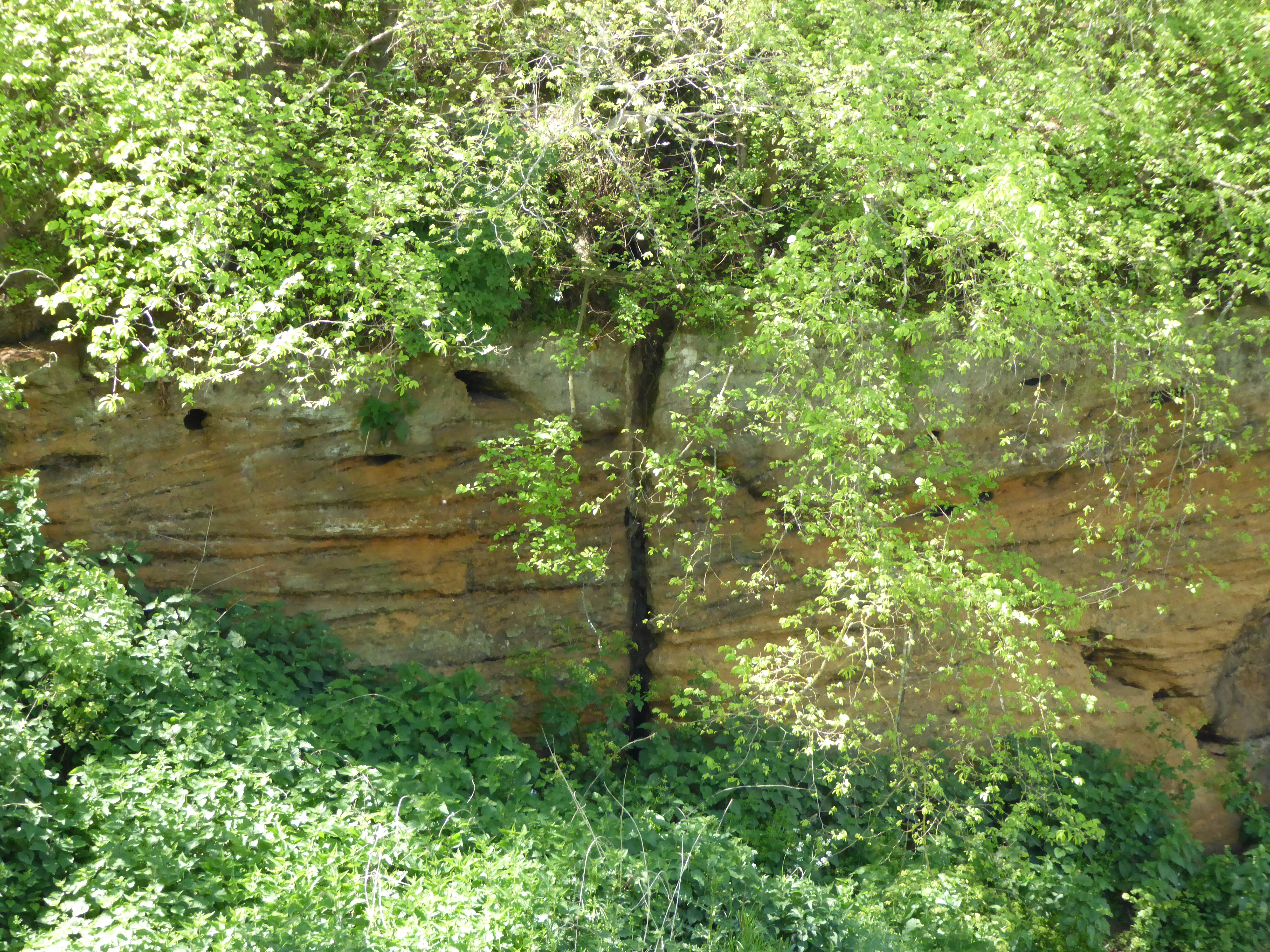
Valley Farm Pit, Sudbourne
Valley Farm Pit, Sudbourne is a 0.5-hectare (1.2-acre) geological Site of Special Scientific Interest north of Orford in Suffolk. It is a Geological Conservation...

Crag Farm Pit, Sudbourne
Crag Farm Pit, Sudbourne is a 4.8-hectare (12-acre) geological Site of Special Scientific Interest east of Sudbourne in Suffolk. It is a Geological Conservation...

Captain's Wood
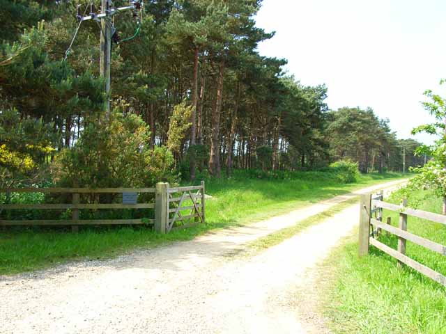
Captain's Wood is a 62 hectare nature reserve in Sudbourne in Suffolk. It is owned and managed by the Suffolk Wildlife Trust.This site has woodland, rough...
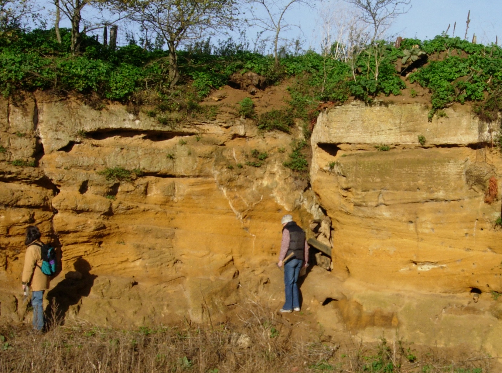
Coralline Crag Formation
The Coralline Crag Formation is a geological formation in England. It is a series of marine deposits found near the North Sea coast of Suffolk and characterised...
Nearby Amenities
Located within 500m of 52.121125,1.554897Have you been to Sudbourne?
Leave your review of Sudbourne below (or comments, questions and feedback).