Stretton-on-Dunsmore
Civil Parish in Warwickshire Rugby
England
Stretton-on-Dunsmore
Stretton-on-Dunsmore is a civil parish located in the county of Warwickshire, England. Situated just 5 miles southeast of Rugby, it is a small but vibrant village with a population of around 1,500 residents.
The parish is nestled in the heart of the Warwickshire countryside, surrounded by picturesque landscapes and rolling hills. It offers a peaceful and idyllic setting, making it an attractive place for those seeking a rural lifestyle.
Stretton-on-Dunsmore has a rich history dating back to the medieval period. The village is home to several historic buildings, including the Grade II listed St. Leonard's Church, which dates back to the 12th century. The church features stunning architectural details and is a popular attraction for history enthusiasts.
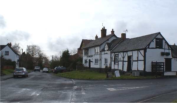
The village also boasts a range of amenities and facilities to cater to its residents. These include a primary school, a village hall, a post office, and a local pub. Additionally, there are various community groups and clubs that offer a range of activities and events for people of all ages to enjoy.
The surrounding countryside provides ample opportunities for outdoor activities such as walking, cycling, and horse riding. There are also several nature reserves and parks nearby, perfect for those who appreciate the beauty of nature.
Overall, Stretton-on-Dunsmore is a charming and close-knit community with a rich history and a strong sense of community spirit. It offers a peaceful and picturesque setting, making it an ideal place to live for those seeking a rural lifestyle.
If you have any feedback on the listing, please let us know in the comments section below.
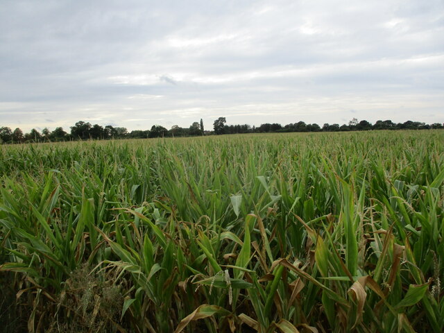
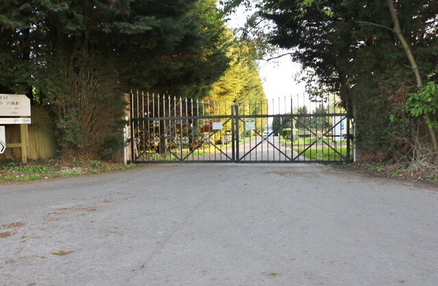
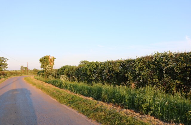
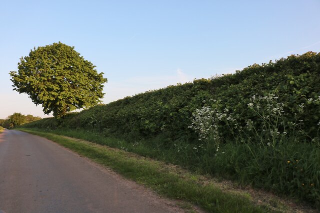
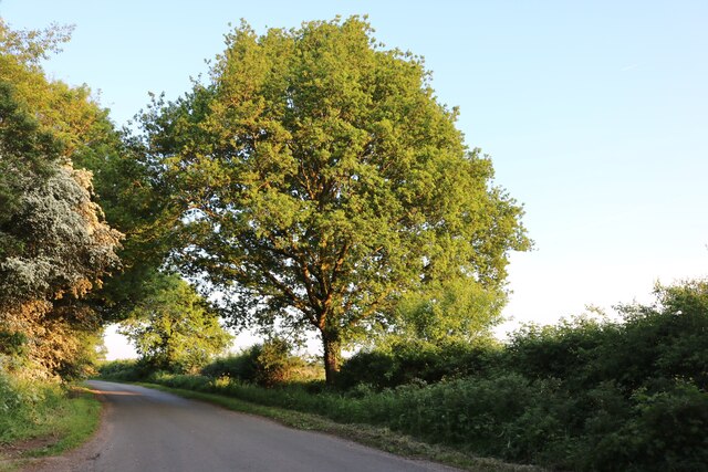
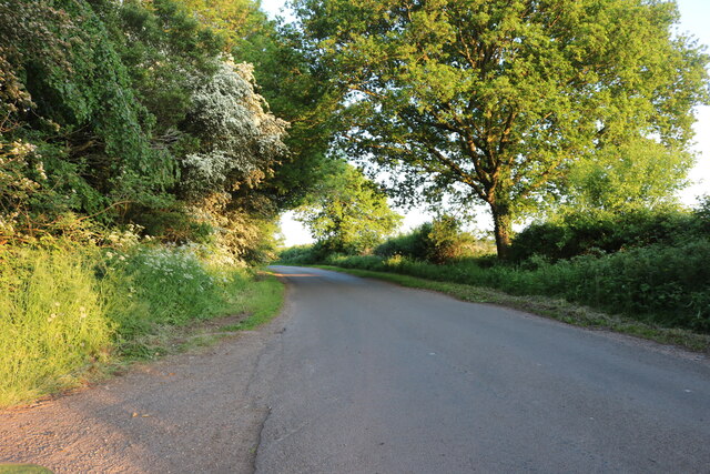
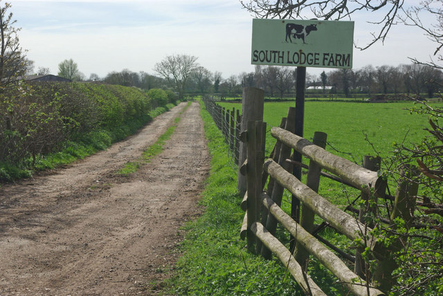
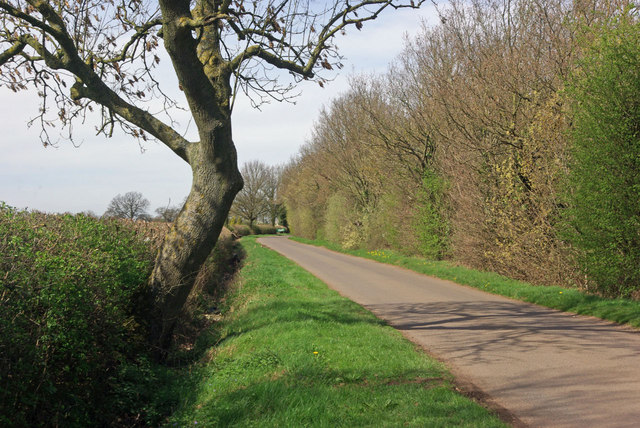
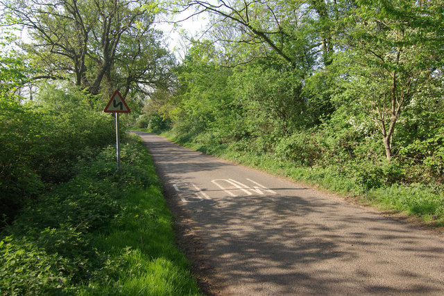
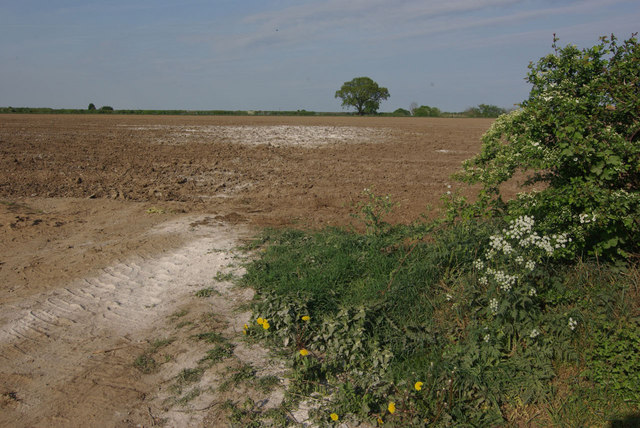
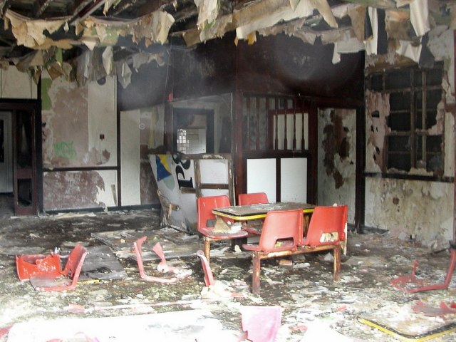
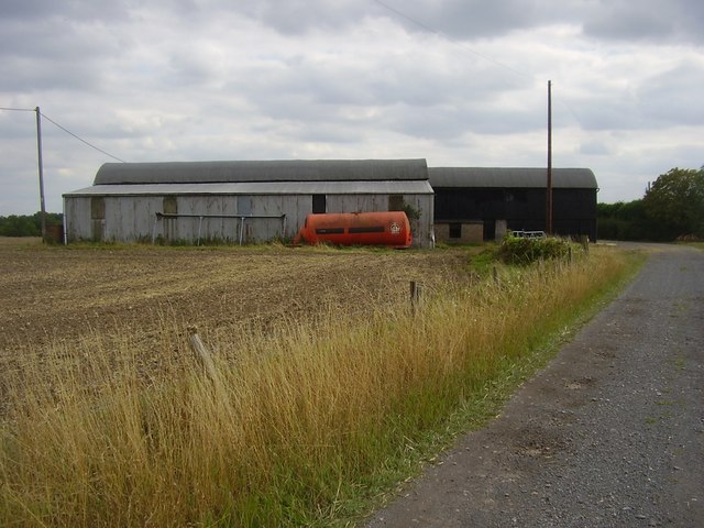
Stretton-on-Dunsmore Images
Images are sourced within 2km of 52.34866/-1.370235 or Grid Reference SP4272. Thanks to Geograph Open Source API. All images are credited.


Stretton-on-Dunsmore is located at Grid Ref: SP4272 (Lat: 52.34866, Lng: -1.370235)
Administrative County: Warwickshire
District: Rugby
Police Authority: Warwickshire
What 3 Words
///duties.levels.blindfold. Near Wolston, Warwickshire
Nearby Locations
Related Wikis

Rugby and Kenilworth (UK Parliament constituency)
Rugby and Kenilworth was a county constituency in Warwickshire, England. It returned one Member of Parliament to the House of Commons of the Parliament...

29th Division War Memorial
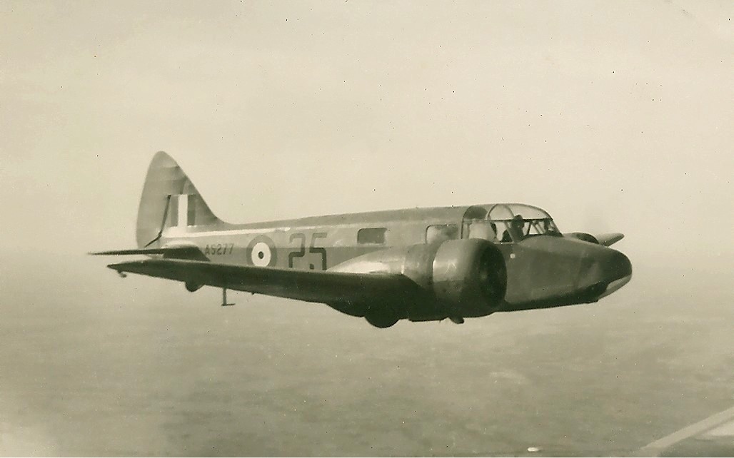
The 29th Division War Memorial is a war memorial beside the junction of the A45 and the B4455 near Stretton-on-Dunsmore, near Rugby, Warwickshire. It commemorates...
RAF Church Lawford
Royal Air Force Church Lawford or more simply RAF Church Lawford is a former Royal Air Force station located 1.5 mi (2.4 km) south of Church Lawford, Warwickshire...
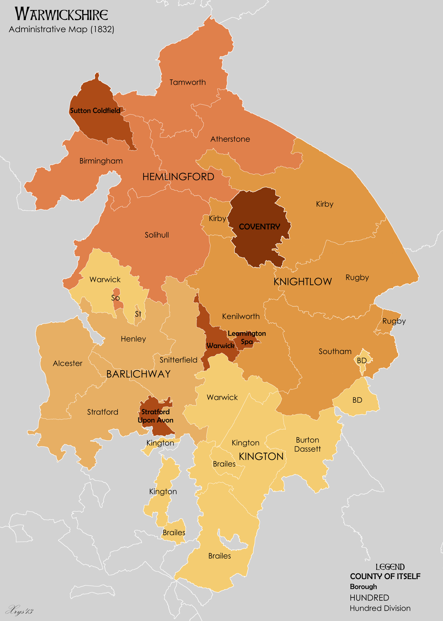
Knightlow Hundred
Knightlow Hundred was a hundred of the county of Warwickshire in England, formed in the 12th century out of the Domesday hundreds of Bomelau (Bumbelowe...
Frankton, Warwickshire
Frankton is a village and civil parish in the Rugby borough of Warwickshire in England. In the 2001 Census it had a population of 344, increasing to 351...

Bourton-on-Dunsmore
Bourton-on-Dunsmore is a small village in Warwickshire, England. It is within the civil parish of Bourton and Draycote, along with the nearby hamlet of...

Stretton-on-Dunsmore
Stretton-on-Dunsmore is a village and civil parish in the English county of Warwickshire. Its population in the 2001 Census was recorded as 1,143, rising...

Bourton and Draycote
Bourton and Draycote is a civil parish in the Rugby borough of Warwickshire, England which consists of the villages of Bourton-on-Dunsmore and Draycote...
Nearby Amenities
Located within 500m of 52.34866,-1.370235Have you been to Stretton-on-Dunsmore?
Leave your review of Stretton-on-Dunsmore below (or comments, questions and feedback).