Stratton St Margaret
Civil Parish in Wiltshire
England
Stratton St Margaret

Stratton St Margaret is a civil parish located in the county of Wiltshire, England. Situated just outside the town of Swindon, it covers an area of approximately 6.5 square miles. The parish is home to a population of around 22,000 residents.
The history of Stratton St Margaret can be traced back to the Roman era, as archaeological evidence suggests that a Roman settlement once existed in the area. Over the centuries, the parish has evolved into a thriving community with a mix of residential, commercial, and industrial areas.
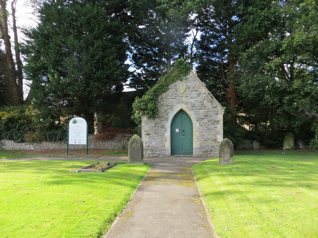
One of the notable landmarks in Stratton St Margaret is St Margaret's Church, a Grade II listed building that dates back to the 12th century. The church serves as a place of worship for the local community and also attracts visitors interested in its historical significance.
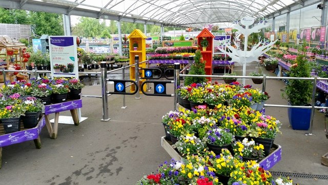
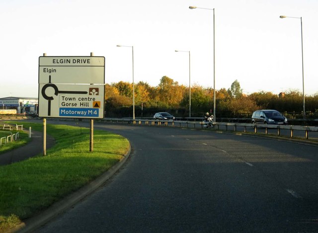
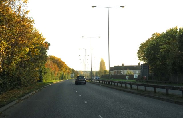
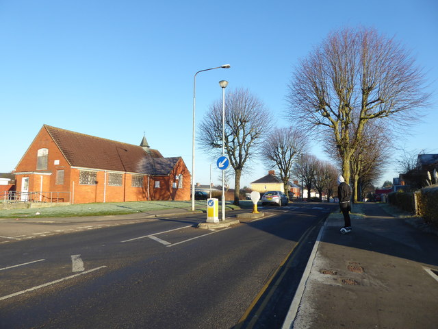
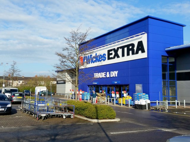
In terms of amenities, Stratton St Margaret offers a range of facilities to its residents. These include several schools, a medical center, a library, and several parks and green spaces. The parish is well-connected to the rest of Wiltshire and beyond, with easy access to major roads and public transportation services.
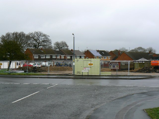
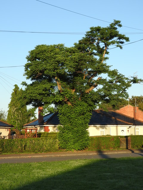
In recent years, the parish has seen some development and expansion, with new residential areas and commercial developments being established. Despite these changes, Stratton St Margaret has managed to maintain its sense of community and retains its rural charm, making it an attractive place to live for many.
If you have any feedback on the listing, please let us know in the comments section below.
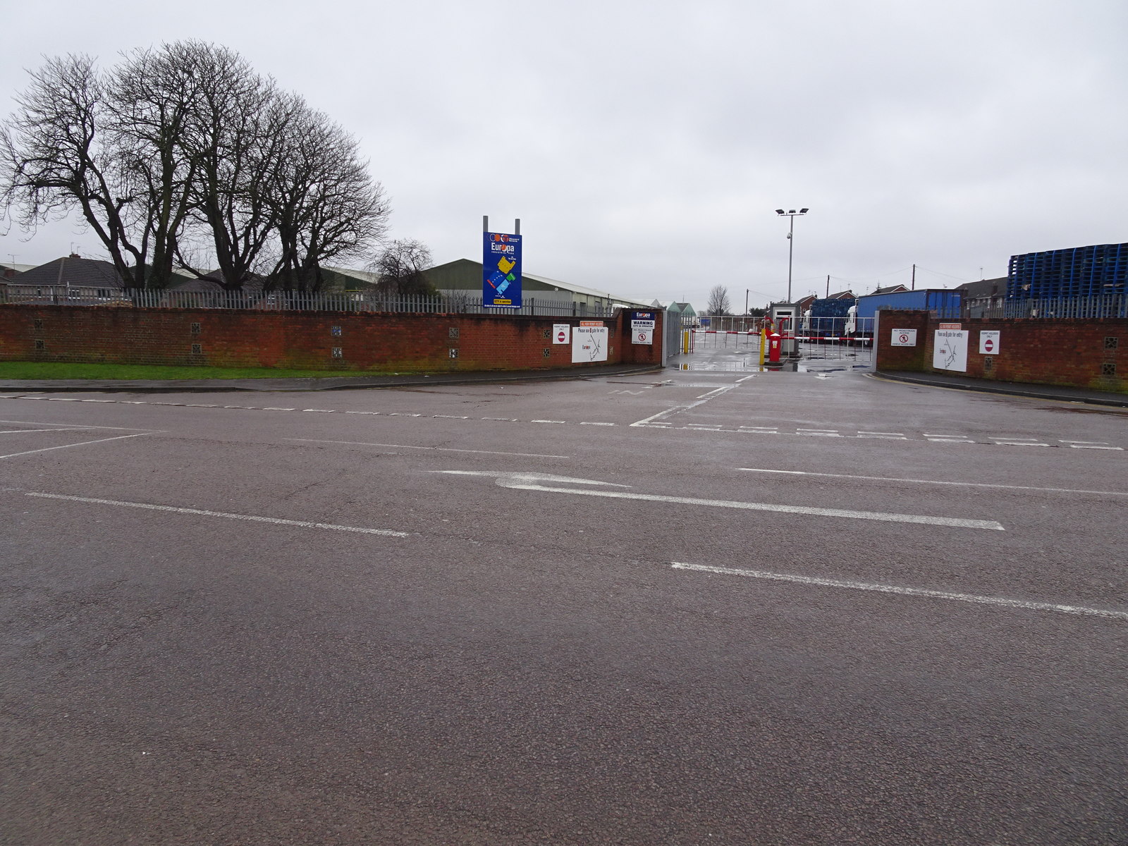
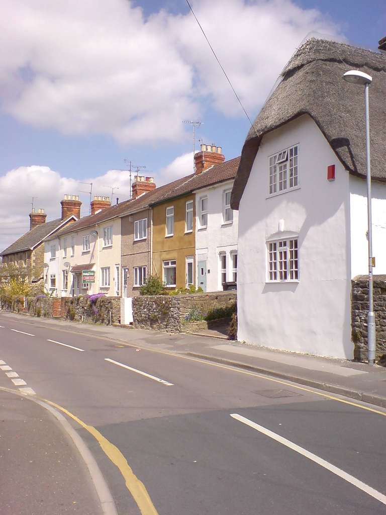
Stratton St Margaret Images
Images are sourced within 2km of 51.584769/-1.75225 or Grid Reference SU1787. Thanks to Geograph Open Source API. All images are credited.


Stratton St Margaret is located at Grid Ref: SU1787 (Lat: 51.584769, Lng: -1.75225)
Unitary Authority: Swindon
Police Authority: Wiltshire
What 3 Words
///deposits.jogging.hides. Near Broad Blunsdon, Wiltshire
Nearby Locations
Related Wikis
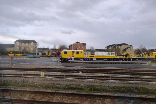
Stratton railway station
Stratton railway station served the village of Stratton St Margaret, in the historic county of Wiltshire, England, from 1883 to 1953 on the Highworth branch...
Stratton St Margaret
Stratton St Margaret is a civil parish in the Borough of Swindon, Wiltshire, England. The parish covers north-eastern suburbs of Swindon including Stratton...

Kingsdown School
Kingsdown School is a mixed secondary school with academy status in Swindon, Wiltshire, England. In its February 2020 Ofsted report, it was rated 'Good...
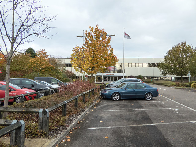
Honda UK Manufacturing
Honda of the UK Manufacturing Ltd (informally HUM) was a British automotive manufacturing company, and the United Kingdom-based manufacturing subsidiary...
School Library Association
The School Library Association (SLA) is an independent organization in the United Kingdom which promotes libraries and literacy in schools. The SLA was...
Stratton Park Halt railway station
Stratton Park Halt served the community of Stratton St Margaret, now part of the Borough of Swindon in Wiltshire, England. The station was on the main...

A420 road
The A420 is a road between Bristol and Oxford in England. Between Swindon and Oxford it is a primary route. == Present route == Since the opening of the...

South Marston
South Marston is a village and civil parish in the Borough of Swindon, Wiltshire, England. The village is about 3 miles (5 km) north-east of Swindon town...
Related Videos

Juniortism - My Bank Holiday Climbing Adventure Fun - Climbing & Falling
My Bank Holiday Climbing Adventure Fun - Climbing & Falling So on todays adventure I went to Freedog Clip 'n Climb and ...

Trying a pub Rost Dinner on a Sunday - The Messenger pub Swindon - Meals under a Tenner
Trying a pub Rost Dinner on a Sunday - The Messenger pub Swindon - Meals under a Tenner. Filmed: 07/05/24 Greene King Pub ...
Swindon's RED LIGHT and CRIME district Explored!
In this video, we're visiting Swindon's ghetto - or at least, one of them, and that's Gorse Hill. Located just outside of the center of ...

BTP PC7823 'DON'T FILM OUR OFFICE, BECAUSE THAT IS ILLEGAL!!!! - Swindon Train Station
Join this channel to get access to perks: https://www.youtube.com/channel/UCC4_cbmalJiJLYWY78upmuA/join What is going on ...
Nearby Amenities
Located within 500m of 51.584769,-1.75225Have you been to Stratton St Margaret?
Leave your review of Stratton St Margaret below (or comments, questions and feedback).