Stocksbridge
Civil Parish in Yorkshire Sheffield
England
Stocksbridge
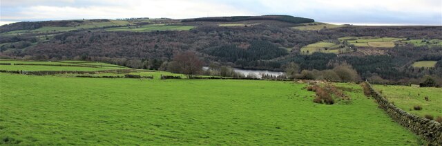
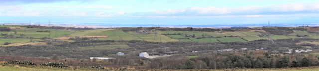
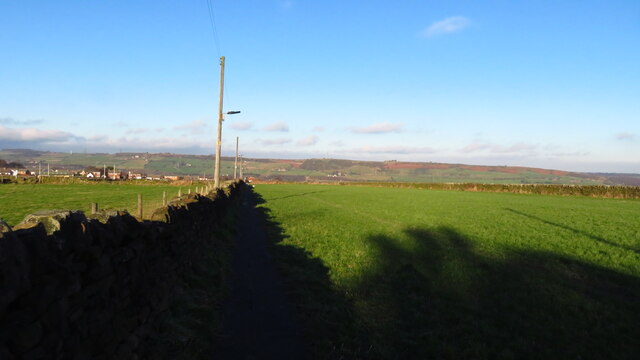
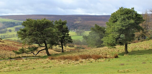
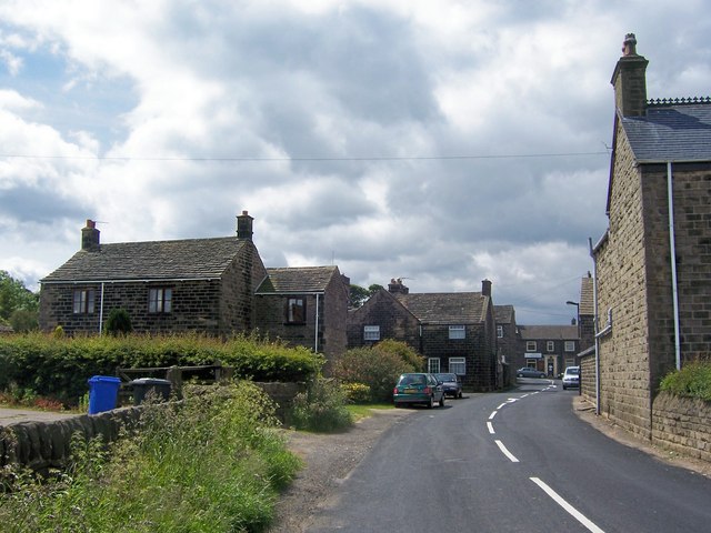
Stocksbridge is a civil parish located in the Metropolitan Borough of Sheffield, South Yorkshire, England. It is situated approximately 10 miles northwest of Sheffield city centre and lies in the upper Don Valley, surrounded by picturesque countryside. The area is predominantly residential, with a population of around 13,000.
Historically, Stocksbridge was a small village known for its steel industry, which played a significant role in the local economy. The town grew rapidly during the 19th and 20th centuries, with the establishment of large steelworks and the influx of workers. Today, remnants of this industrial past can still be seen, although the steelworks have significantly scaled down.
The town offers a range of amenities to its residents and visitors. It has several primary schools, a secondary school, a leisure centre, and a library. There are also various shops, pubs, and restaurants, providing a good range of services. The area is well-connected, with regular bus services linking it to Sheffield and surrounding towns.
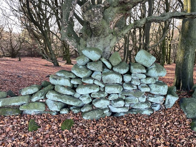
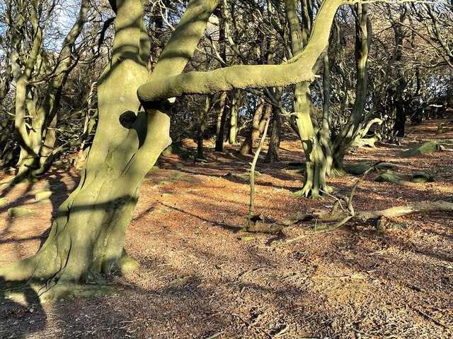
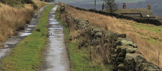
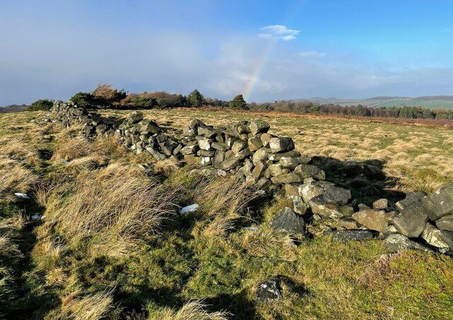
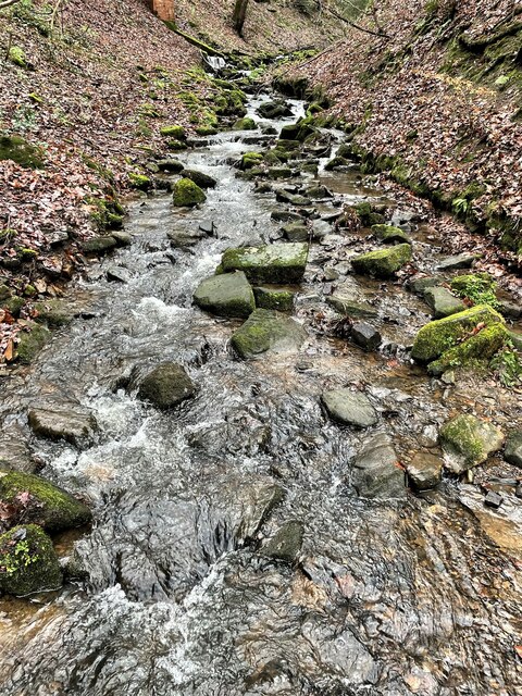
Stocksbridge is blessed with beautiful natural surroundings, making it an attractive place for outdoor enthusiasts. The nearby Peak District National Park offers a wealth of recreational opportunities, including walking, cycling, and hiking. The town is also home to the Fox Valley Shopping Centre, which provides a modern retail experience with a variety of shops and eateries.
Overall, Stocksbridge is a vibrant and diverse community with a rich industrial heritage. Its convenient location, natural beauty, and range of amenities make it an appealing place to live or visit.
If you have any feedback on the listing, please let us know in the comments section below.
Stocksbridge Images
Images are sourced within 2km of 53.465507/-1.61355 or Grid Reference SK2596. Thanks to Geograph Open Source API. All images are credited.


Stocksbridge is located at Grid Ref: SK2596 (Lat: 53.465507, Lng: -1.61355)
Division: West Riding
Administrative County: South Yorkshire
District: Sheffield
Police Authority: South Yorkshire
What 3 Words
///telephone.elder.unframed. Near Stocksbridge, South Yorkshire
Nearby Locations
Related Wikis
Bolsterstone
Bolsterstone is a village in South Yorkshire, England, south of Stocksbridge, and 8.5 miles to the northwest of the City of Sheffield and within the city...

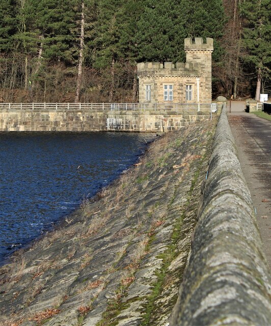
Broomhead Reservoir
Broomhead Reservoir is a reservoir located in the Ewden Valley, near Sheffield in South Yorkshire, England. The reservoir is located to the south of Bolsterstone...
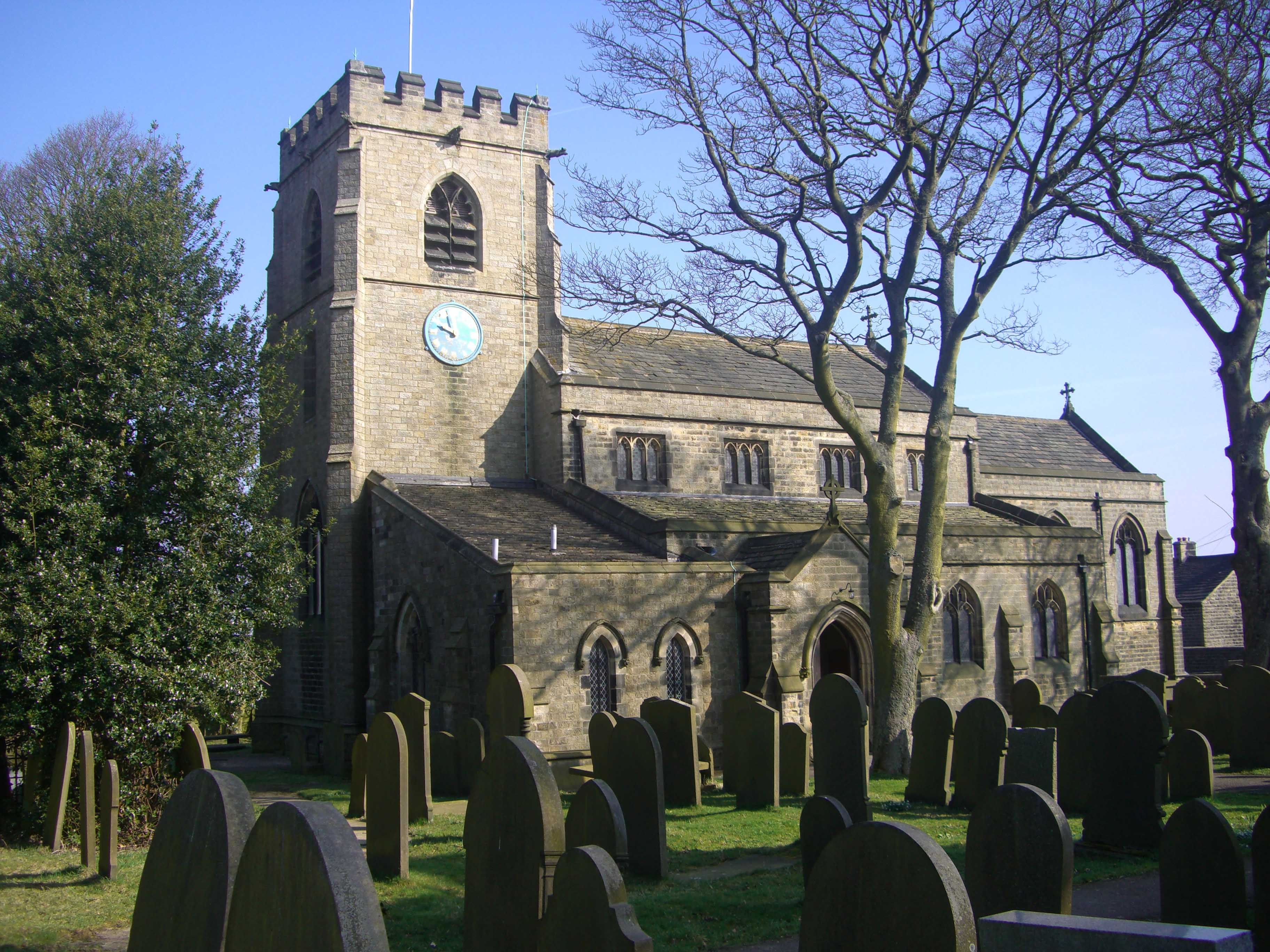
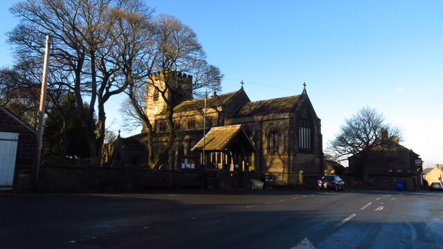
St Mary's Church, Bolsterstone
St Mary's Church, Bolsterstone is situated in the village of Bolsterstone, within the boundary of the City of Sheffield in South Yorkshire, England. The...

Broomhead Hall
Broomhead Hall was a large English country house that stood in the Ewden valley, to the west of Sheffield, England. The hall stood near the hamlet of Wigtwizzle...
Nearby Amenities
Located within 500m of 53.465507,-1.61355Have you been to Stocksbridge?
Leave your review of Stocksbridge below (or comments, questions and feedback).