Bryngwyn

Settlement in Monmouthshire

Wales

Bryngwyn

View of Sugar Loaf and Skirrid View of Sugar Loaf and Skirrid from a country road near Pen-y-parc to the north-west of Raglan Castle.
View of Sugar Loaf and Skirrid Credit: Philip Halling

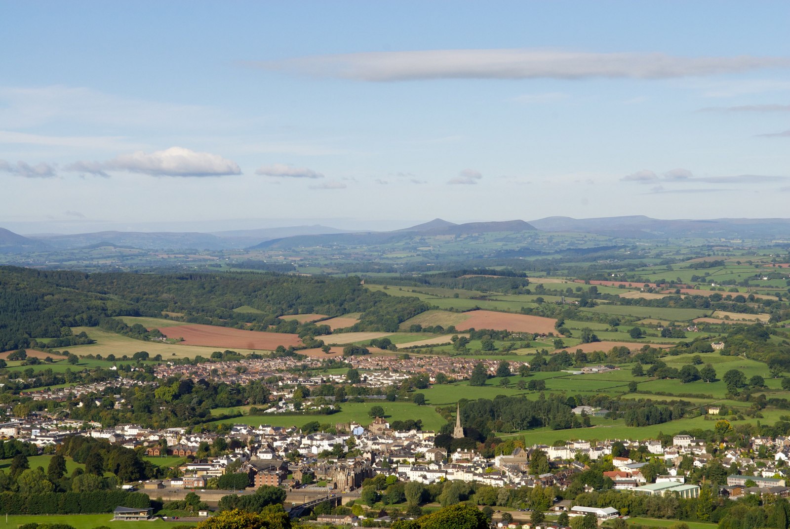
Bryngwyn is a small rural village located in Monmouthshire, Wales. Situated near the town of Usk, Bryngwyn is known for its picturesque countryside views and charming traditional Welsh architecture. The village is surrounded by rolling hills and lush green fields, making it an ideal destination for those seeking a peaceful and tranquil retreat.

Bryngwyn is home to a close-knit community of residents who take pride in maintaining the area's natural beauty and preserving its rich history. The village features a number of historic buildings, including a 12th-century church and several traditional Welsh cottages.

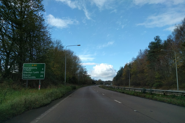
Despite its rural setting, Bryngwyn offers easy access to amenities and attractions in nearby towns such as Usk and Monmouth. The village is also a popular starting point for scenic walks and hikes through the surrounding countryside, providing visitors with the opportunity to explore the stunning landscapes of Monmouthshire.

Overall, Bryngwyn is a charming village that offers a relaxing escape from the hustle and bustle of city life, making it a perfect destination for nature lovers and history enthusiasts alike.

If you have any feedback on the listing, please let us know in the comments section below.

Bryngwyn Images

Images are sourced within 2km of 51.778372/-2.883297 or Grid Reference SO3909. Thanks to Geograph Open Source API. All images are credited.

View of Sugar Loaf and Skirrid View of Sugar Loaf and Skirrid from a country road near Pen-y-parc to the north-west of Raglan Castle.
View of Sugar Loaf and Skirrid
View of Sugar Loaf and Skirrid from a country road near Pen-y-parc to the north-west of Raglan Castle.
Road passing Pen-y-parc Country road passing the farm of Pen-y-parc.
Road passing Pen-y-parc
Country road passing the farm of Pen-y-parc.
Pen-y-parc Road Pen-y-parc Road near Raglan.
Pen-y-parc Road
Pen-y-parc Road near Raglan.
Trees in hedgerow near Court Robert Trees in a hedgerow in farmland near Court Robert.
Trees in hedgerow near Court Robert
Trees in a hedgerow in farmland near Court Robert.
Road passing Court Robert Country road passing Court Robert which can be seen on the right.
Road passing Court Robert
Country road passing Court Robert which can be seen on the right.
On the A40 heading for Abergavenny
Narrow Monmouthshire Lane Looking towards Argoed Farm.
Narrow Monmouthshire Lane
Looking towards Argoed Farm.
Small mixed plantation Adjacent to the byway to Tregare.
Small mixed plantation
Adjacent to the byway to Tregare.
Green lane to Tregare There are many such tracks in this part of Monmouthshire.
Green lane to Tregare
There are many such tracks in this part of Monmouthshire.
Grassy field near Pen-y-lan Looking north-east.
Grassy field near Pen-y-lan
Looking north-east.
Bryngwyn - St Peter's Church
Raglan garden centre This site previously traded as Welsh Tree Services.
Raglan garden centre
This site previously traded as Welsh Tree Services.
The underpass and Cripple Creek Inn
The A40 towards Abergavenny Picture taken from bridge near Pit Clytha Farm.  The hill in the distance is Blorenge, max height 552m.
The A40 towards Abergavenny
Picture taken from bridge near Pit Clytha Farm. The hill in the distance is Blorenge, max height 552m.
The road to Great Oak Just loved the form of the trees here.  Surface water still much in evidence following the wet early spring.
The road to Great Oak
Just loved the form of the trees here. Surface water still much in evidence following the wet early spring.
Phone box and Post box, Great Oak (Derwen Fawr)
Cefn Coch Farm Cefn Coch Farm with Sugar Loaf in the background.
Cefn Coch Farm
Cefn Coch Farm with Sugar Loaf in the background.
Cefn Coch farm
Cefn Coch farm
Show me another place!

Bryngwyn is located at Grid Ref: SO3909 (Lat: 51.778372, Lng: -2.883297)

Unitary Authority: Monmouthshire

Police Authority: Gwent

What 3 Words

///paddlers.dolphins.equipping. Near Llanarth, Monmouthshire

Nearby Locations

Coed Robert Bryngwyn

Related Wikis

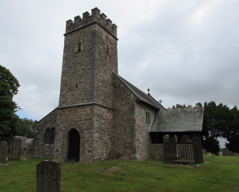
St Peter's Church, Bryngwyn

The Church of St Peter, Bryngwyn, Monmouthshire, Wales is a parish church with its origins in the 13th century. It is a Grade II* listed building. ��2...

Bryngwyn

Bryngwyn is a village and rural location in Monmouthshire, south east Wales. == Location == Bryngwyn is located two miles to the west of Raglan in Monmouthshire...

Monmouthshire

Monmouthshire ( MON-məth-shər, MUN-; Welsh: Sir Fynwy) is a county in the south east of Wales. It borders Powys to the north; the English counties of Herefordshire...
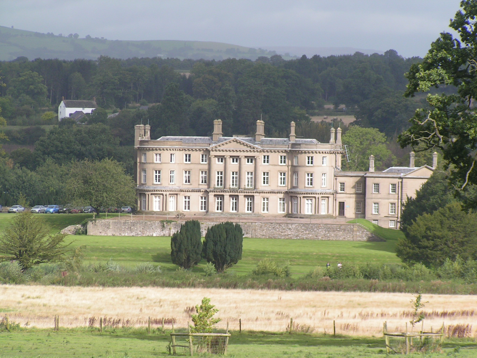
Llanarth Court

Llanarth Court is a late-18th-century country house with substantial 19th-century alterations in Llanarth, Monmouthshire, Wales. The court was built for...

Nearby Amenities

Located within 500m of 51.778372,-2.883297
Bryngwyn
Place: hamlet
Wikidata: Q11129506
Lat/Long: 51.780518/-2.8851928
Parking
Parking: layby
Source: bing
Lat/Long: 51.7756622/-2.88176
Parking
Parking: layby
Source: bing
Lat/Long: 51.7758714/-2.8816903
Wern-y-cwrt
Place: hamlet
Wikidata: Q107033102
Lat/Long: 51.7746295/-2.8867298
Post Box
Lat/Long: 51.7747838/-2.8864117
Give Way
Lat/Long: 51.7747644/-2.886348
The data included in this document is from www.openstreetmap.org. The data is made available under ODbL.

Have you been to Bryngwyn?

Leave your review of Bryngwyn below (or comments, questions and feedback).