Bryngoleu

Settlement in Montgomeryshire

Wales

Bryngoleu

Glyndwr's Way near Pen-y-cae
Glyndwr's Way near Pen-y-cae Credit: Dave Kelly

Bryngoleu is a small village located in the historic county of Montgomeryshire in Wales, United Kingdom. Situated in the picturesque countryside, it is nestled within the tranquil valleys and rolling hills of this scenic region. The village is positioned approximately 3 miles northeast of the town of Newtown, and it lies in close proximity to the border with England.

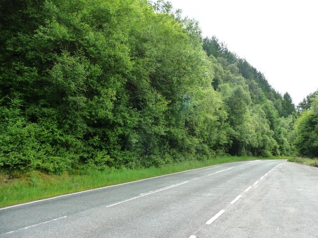
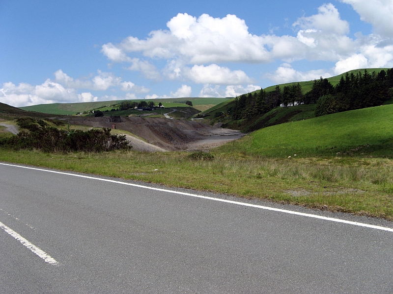
Bryngoleu is known for its idyllic setting and natural beauty, making it a popular destination for nature lovers and outdoor enthusiasts. The village is surrounded by lush green fields, woodlands, and meandering streams, offering ample opportunities for walking, hiking, and exploring the countryside.

The architecture in Bryngoleu is predominantly traditional, with charming stone cottages and farmhouses dotting the landscape. The village exudes a peaceful and close-knit community atmosphere, with a small population that primarily engages in agriculture and other rural activities.

While Bryngoleu itself does not boast many amenities, its close proximity to Newtown provides convenient access to a range of services, including shops, schools, healthcare facilities, and leisure activities. Additionally, the village benefits from excellent transport links, with major road networks connecting it to nearby towns and cities.

Overall, Bryngoleu offers a serene and picturesque retreat for those seeking a quiet and rural lifestyle, surrounded by the stunning natural beauty of Montgomeryshire.

If you have any feedback on the listing, please let us know in the comments section below.

Bryngoleu Images

Images are sourced within 2km of 52.532168/-3.673966 or Grid Reference SN8694. Thanks to Geograph Open Source API. All images are credited.

Glyndwr's Way near Pen-y-cae
Glyndwr's Way near Dylife
Trees in the graveyard, Dylife The church or chapel has been demolished.
Trees in the graveyard, Dylife
The church or chapel has been demolished.
Solar- and wind-powered street light, Dylife Lighting up a phone box, the rubbish / recycling bins, and the way to the pub.
Solar- and wind-powered street light, Dylife
Lighting up a phone box, the rubbish / recycling bins, and the way to the pub.
Public bridleway climbing up Llechwedd Du On the south side of the Machynlleth - Llanidloes road at Dylife. The former mine workings of the lower ground are open access land.
Public bridleway climbing up Llechwedd Du
On the south side of the Machynlleth - Llanidloes road at Dylife. The former mine workings of the lower ground are open access land.
ER postbox, Dylife On the south side of the road, at the junction with the bridleway.
ER postbox, Dylife
On the south side of the road, at the junction with the bridleway.
Gullies on the hillside below Penycrocbren And above a bridleway / track. Water or mining?
Gullies on the hillside below Penycrocbren
And above a bridleway / track. Water or mining?
The scars of mining at Dylife In the river valley, south of the Llanidloes - Machynlleth road.
The scars of mining at Dylife
In the river valley, south of the Llanidloes - Machynlleth road.
Group of trees outside the Star Inn, Dylife The pub / B&B is for sale [July 2016] for £325,000.
Group of trees outside the Star Inn, Dylife
The pub / B&B is for sale [July 2016] for £325,000.
Conifer plantation, north-east slopes of Llechwedd Du On the west side of the Llanidloes - Machynlleth road.
Conifer plantation, north-east slopes of Llechwedd Du
On the west side of the Llanidloes - Machynlleth road.
Llechwedd Ddu Engine Shaft, Dylife Showing the pump rod and rising main.
Llechwedd Ddu Engine Shaft, Dylife
Showing the pump rod and rising main.
Old Milestone by Glyndwr's Way, Rhiw Dyfeitty Fawr By the UC track, in parish of Trefeglwys (Powys District), Rhiw Dyfeitty Fawr, Rhiw y Felin Stone.

Surveyed

Milestone Society National ID: MOT_LIBM09
Old Milestone by Glyndwr's Way, Rhiw Dyfeitty Fawr
By the UC track, in parish of Trefeglwys (Powys District), Rhiw Dyfeitty Fawr, Rhiw y Felin Stone. Surveyed Milestone Society National ID: MOT_LIBM09
Old Milestone east of Penycrocbren Roman fort, Llanbrynmair parish Milestone by the bridleway, in parish of Llanbrynmair (Powys District), East of Penycrocbren Roman fort.

Inscription once read:-
(Machynlleth 10)
(Llanidloes 10)

Surveyed

Milestone Society National ID: MOT_LIMC10
Old Milestone east of Penycrocbren Roman fort, Llanbrynmair parish
Milestone by the bridleway, in parish of Llanbrynmair (Powys District), East of Penycrocbren Roman fort. Inscription once read:- (Machynlleth 10) (Llanidloes 10) Surveyed Milestone Society National ID: MOT_LIMC10
St David's Ruined Church at Dylife St David's Church was built in 1852-6 and was demolished in 1962. The last marriage was 1915 and the last christening was 1926. The graveyard is still in use.
St David's Ruined Church at Dylife
St David's Church was built in 1852-6 and was demolished in 1962. The last marriage was 1915 and the last christening was 1926. The graveyard is still in use.
Y Star Inn This hotel is nearly all that remains of a thriving mining town. It has a history that does back to before the mines to the 17th Century.
Y Star Inn
This hotel is nearly all that remains of a thriving mining town. It has a history that does back to before the mines to the 17th Century.
Show me another place!

Bryngoleu is located at Grid Ref: SN8694 (Lat: 52.532168, Lng: -3.673966)

Unitary Authority: Powys

Police Authority: Dyfed Powys

What 3 Words

///cookies.bystander.gratuity. Near Staylittle, Powys

Related Wikis

Dylife

Dylife is a former mining settlement in Powys, Wales, located at the head of Afon Twymyn in the Cambrian Mountains, one mile west of the road between Llanidloes...

Ffrwd Fawr Waterfall

Ffrwd Fawr is a waterfall in Powys, Wales. == Location == The River Twymyn flows from the 40-metre-high (130 ft) Ffrwd Fawr Waterfall at the head of the...

Dylife Gorge

The Dylife Gorge, located near Dylife, Powys, Mid Wales, was carved by the action (and aftermath) of the last Ice age. It is headed by the Ffrwd Fawr Waterfall...

Bryn yr Ŵyn

Bryn yr Ŵyn (Welsh for 'hill of the lambs') is a former Dewey in the foothills of Plynlimon between Aberystwyth and Welshpool in Wales. The summit height...

Staylittle

Staylittle (Welsh: Penffordd-las), sometimes referred to colloquially as Y Stay or Y Stae, is a small village set in the shallow upland basin of the Afon...

Pennant, Powys

Pennant is a small village in Powys, mid Wales located on the B4518 road between Llanbrynmair and Llanidloes.

Banc Bugeilyn

Banc Bugeilyn is a hill found in Plynlimon between Aberystwyth and Welshpool in the United Kingdom; grid reference SN826925.The summit is class as a Dewey...

Carno wind farm

Carno is a wind farm of 68 turbines which started operation in October 1996. It covers an area of over 600 hectares on Trannon Moor, a plateau to the west...

Nearby Amenities

Located within 500m of 52.532168,-3.673966
Dylife
Place: hamlet
Wikidata: Q5318814
Lat/Long: 52.532626/-3.6787857
Building: yes
Lat/Long: 52.5353817/-3.676062
Building: yes
Lat/Long: 52.53422/-3.6761478
Building: yes
Lat/Long: 52.5326798/-3.674517
Building: yes
Lat/Long: 52.5341809/-3.6740879
Post Box
Post Box Type: lamp
Ref: SY19 512
Royal Cypher: EIIR
Royal Cypher Wikidata: Q33102113
Lat/Long: 52.5316924/-3.6792505
The data included in this document is from www.openstreetmap.org. The data is made available under ODbL.

Have you been to Bryngoleu?

Leave your review of Bryngoleu below (or comments, questions and feedback).