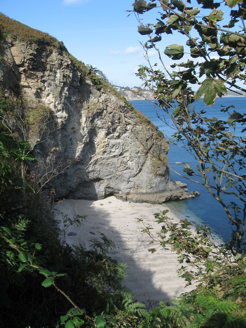
St Austell Bay

Civil Parish in Cornwall

England

St Austell Bay

Farmland, St Austell Bay Recently cultivated with the tractor at work in one of the farther fields. A footpath follows the field's edge.
Farmland, St Austell Bay Credit: Andrew Smith

St Austell Bay is a picturesque area located in Cornwall, England. It is a civil parish and encompasses the towns of St Austell, Charlestown, and Carlyon Bay. Situated on the south coast of Cornwall, the bay boasts stunning natural beauty and a rich cultural heritage.

The centerpiece of St Austell Bay is the town of St Austell, which is the largest settlement in Cornwall after the city of Truro. Known as the "capital of the Cornish Alps," St Austell is surrounded by towering hills and offers breathtaking views of the bay. The town is famous for its china clay industry, which has shaped its history and economy.

Charlestown is a historic port located within St Austell Bay. It is renowned for its well-preserved Georgian architecture and is often featured in period dramas and films. The port is home to a collection of tall ships and serves as a popular tourist attraction.

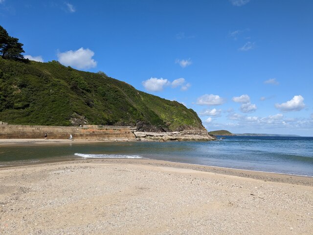
Carlyon Bay, situated to the east of St Austell, is a popular beach resort. With its golden sands and crystal-clear waters, it attracts visitors seeking relaxation and water sports activities. The bay is also home to the Carlyon Bay Golf Club, which offers stunning views of the coastline.

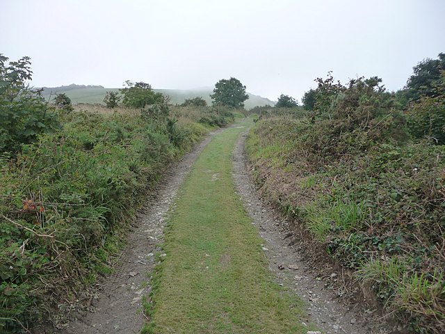
St Austell Bay is a haven for nature lovers, with numerous nature reserves and wildlife habitats. The area is known for its diverse flora and fauna, including rare species such as the Cornish chough and the silver-studded blue butterfly.

In conclusion, St Austell Bay in Cornwall is a charming and diverse area, offering a mix of natural beauty, cultural heritage, and recreational opportunities. It is a must-visit destination for those seeking a unique and idyllic coastal experience in the United Kingdom.

If you have any feedback on the listing, please let us know in the comments section below.

St Austell Bay Images

Images are sourced within 2km of 50.30449/-4.761967 or Grid Reference SX0348. Thanks to Geograph Open Source API. All images are credited.

Farmland, St Austell Bay Recently cultivated with the tractor at work in one of the farther fields. A footpath follows the field's edge.
Farmland, St Austell Bay
Recently cultivated with the tractor at work in one of the farther fields. A footpath follows the field's edge.
Church of All Saints
Former Wesleyan Chapel
Site of Bible Christian chapel
Gamas Point
Gamas Point
Pasture, St Austell Bay Looking east from the road at Polglaze.
Pasture, St Austell Bay
Looking east from the road at Polglaze.
Coastline, St Austell Bay The view of Drennick from Black Head.
Coastline, St Austell Bay
The view of Drennick from Black Head.
Black Head, St Austell Bay The Gribbin and beyond are in the background.
Black Head, St Austell Bay
The Gribbin and beyond are in the background.
Farmland, St Austell Bay Maize stubble at Trenarren with The Gribbin in the background.
Farmland, St Austell Bay
Maize stubble at Trenarren with The Gribbin in the background.
Coastline, St Austell Bay Silvermine Point viewed from the coast path to its south.
Coastline, St Austell Bay
Silvermine Point viewed from the coast path to its south.
Pasture, Pentewan Valley Fields beside the tack south of West Towan.
Pasture, Pentewan Valley
Fields beside the tack south of West Towan.
Pentewan Beach Part of the ruined breakwater at the northern end of the beach. In the background just above the left corner of the block can be seen the tall signal post on Gribbin Head.
Pentewan Beach
Part of the ruined breakwater at the northern end of the beach. In the background just above the left corner of the block can be seen the tall signal post on Gribbin Head.
Silvermine Point Silvermine Point (as named on 1:25k map) and small un-named cove, as seen from the South West Coast Path.
Silvermine Point
Silvermine Point (as named on 1:25k map) and small un-named cove, as seen from the South West Coast Path.
Pentewan Beach from Gamas Point in 1959
Where road and track divide Trenarren is to the right
Where road and track divide
Trenarren is to the right
Track heading towards Ledrah and Black Head
Track at Ledrah Heading towards Black Head
Track at Ledrah
Heading towards Black Head
Gate on track to Black Head
Show me another place!

St Austell Bay is located at Grid Ref: SX0348 (Lat: 50.30449, Lng: -4.761967)

Unitary Authority: Cornwall

Police Authority: Devon & Cornwall

What 3 Words

///stuffing.cabbages.crabmeat. Near Mevagissey, Cornwall

Related Wikis

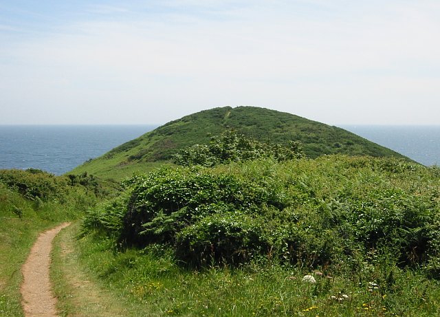
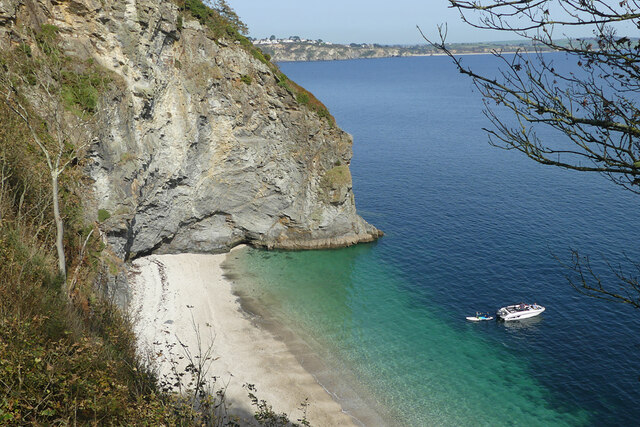
Black Head (St Austell), Cornwall

Black Head is a headland at the western end of St Austell Bay, in Cornwall, England. It is owned by the National Trust. == Description == It is the site...

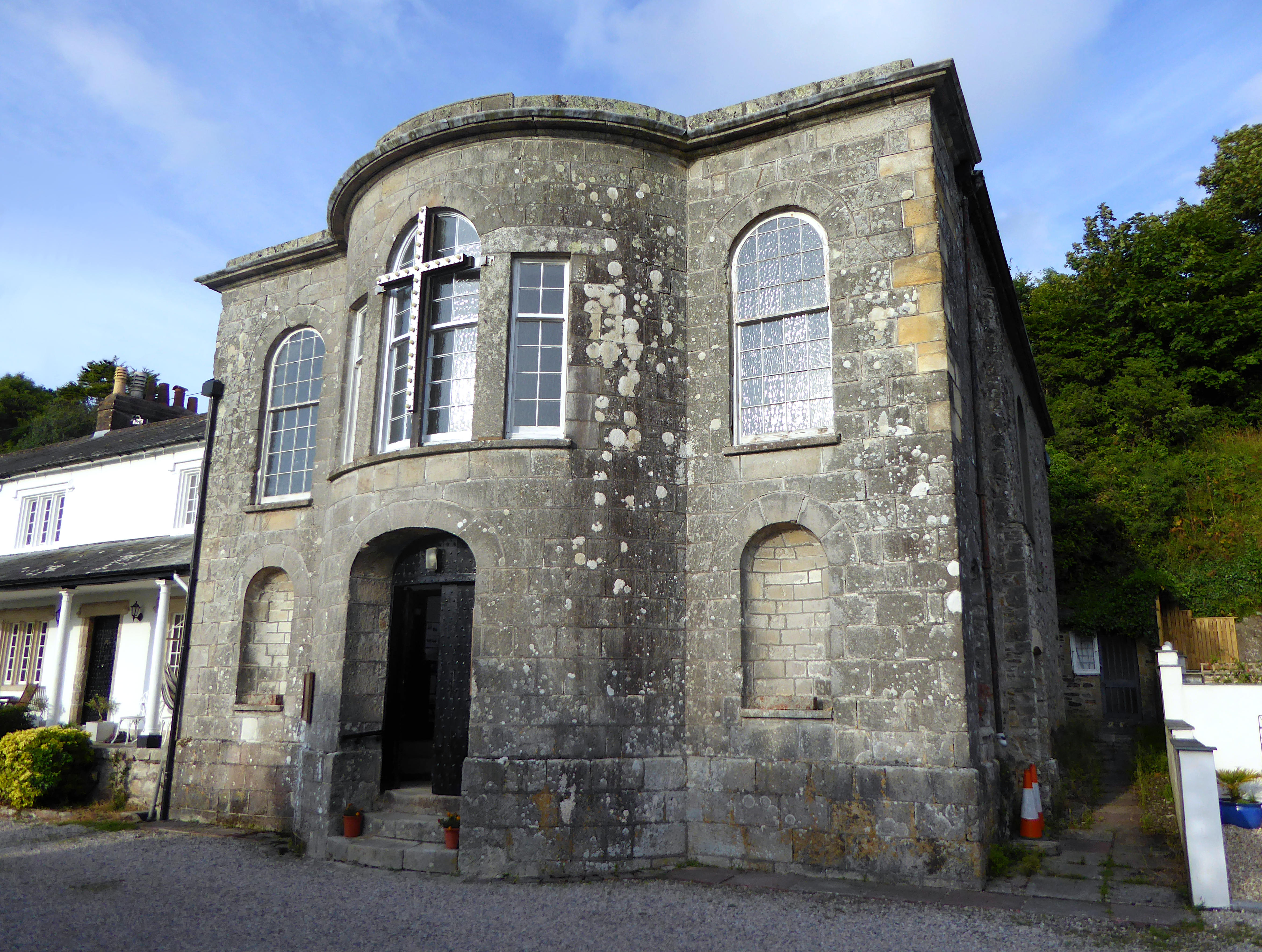
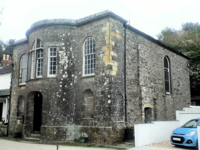
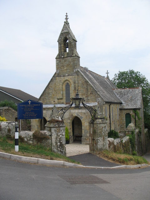
All Saints' Church, Pentewan

All Saints’ Church, Pentewan is a Grade II listed parish church in the Church of England in Pentewan, Cornwall. == History == The church was built in 1821...

St Levan's Church, Porthpean

St Levan's Church, Porthpean is a Grade II listed parish church in the Church of England in Higher Porthpean, Cornwall. == History == The church was built...
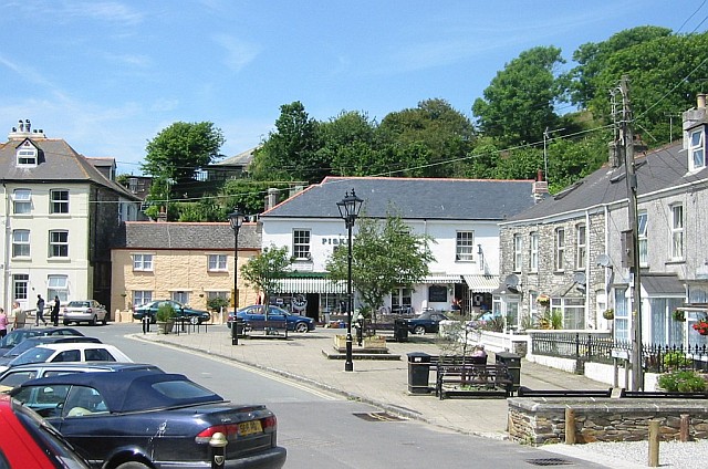
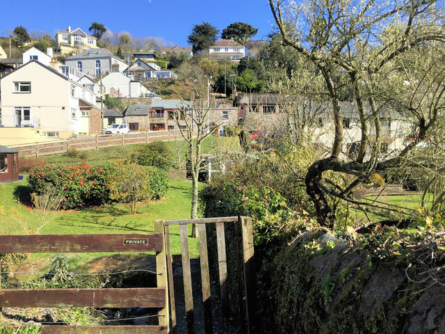
Pentewan

Pentewan (Cornish: Bentewyn, meaning foot of the radiant stream) is a coastal village and former port in south Cornwall, England, United Kingdom. It is...
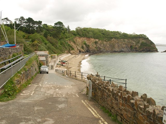
Higher Porthpean

Higher Porthpean is a village south of Duporth and contiguous with Lower Porthpean in Cornwall, England. It has a small church, dedicated to St Levan...

Lower Porthpean

Lower Porthpean is a coastal hamlet in Cornwall, England, UK. It is close to Higher Porthpean and one mile (1.6 km) south of St Austell. == Cornish... ==

St Austell parishes

Four new parishes were created in Cornwall, England, United Kingdom for the St Austell area on 1 April 2009. The parishes are: St Austell Town Council...

Pentewan Valley

Pentewan Valley is one of four new civil parishes created on 1 April 2009 for the St Austell district of mid Cornwall, England, United Kingdom. The population...

Nearby Amenities

Located within 500m of 50.30449,-4.761967
Parking
Access: yes
Fee: no
Parking: street_side
Lat/Long: 50.3080646/-4.7640975
Trenarren
Name Kw: Dingaran
Place: locality
Source: OS_OpenData_StreetView
Wikidata: Q7838214
Wikipedia: en:Trenarren
Lat/Long: 50.3045333/-4.7633781
Ele: 85.3
Is In County: Cornwall
Man Made: survey_point
Natural: peak
Source: NPE
Lat/Long: 50.300911/-4.7656669
Bench
Backrest: yes
Lat/Long: 50.3070785/-4.7600957
Barrier: kissing_gate
Foot: yes
Lat/Long: 50.3047758/-4.7669291
Fixme: incompleate
Lat/Long: 50.3076516/-4.7624068
WW2 Quadrant Shelter for Bombing Range (site of)
Building: bunker
Bunker Type: personnel_shelter
Military: bunker
Lat/Long: 50.3060406/-4.7598648
Fire Hydrant
Emergency: fire_hydrant
Fire Hydrant Type: underground
Survey Date: 2022-04-30
Lat/Long: 50.3077658/-4.7638413
Waste Basket
Survey Date: 2022-04-30
Lat/Long: 50.3077618/-4.7638189
Bench
Backrest: yes
Survey Date: 2022-04-30
Lat/Long: 50.3009382/-4.7624787
Fire Hydrant
Emergency: fire_hydrant
Fire Hydrant Type: underground
Survey Date: 2022-04-30
Lat/Long: 50.3061614/-4.7629561
Post Box
Brand: Royal Mail
Brand Wikidata: Q638098
Collection Times: Mo-Fr 17:15; Sa 11:00
Operator: Royal Mail
Operator Wikidata: Q638098
Post Box Type: wall
Ref: PL26 53
Royal Cypher: EIIR
Royal Cypher Wikidata: Q33102113
Survey Date: 2022-04-30
Lat/Long: 50.3056554/-4.7629046
Free parking 12 cars
Tourism: attraction
Lat/Long: 50.3080421/-4.764043
Private Land
Tourism: attraction
Lat/Long: 50.3079028/-4.7604531
The data included in this document is from www.openstreetmap.org. The data is made available under ODbL.

Have you been to St Austell Bay?

Leave your review of St Austell Bay below (or comments, questions and feedback).