Sixpenny Handley and Pentridge
Civil Parish in Dorset East Dorset
England
Sixpenny Handley and Pentridge
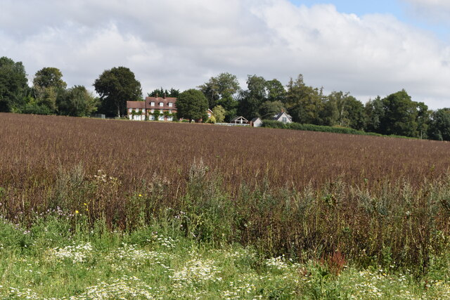
Sixpenny Handley and Pentridge are civil parishes located in the county of Dorset, England. Situated in the picturesque Cranborne Chase and West Wiltshire Downs Area of Outstanding Natural Beauty, these rural communities offer a tranquil and scenic environment.
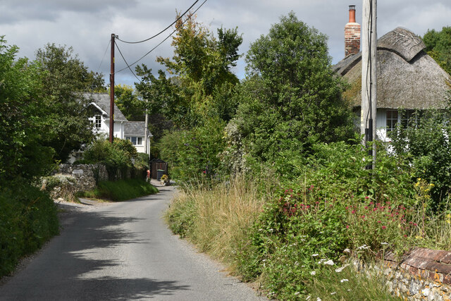
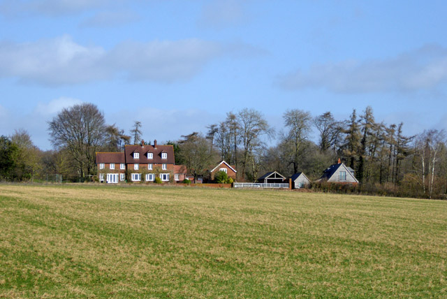
Sixpenny Handley, as the larger of the two, boasts a charming village with a population of around 900 residents. The village is well-served with amenities, including a primary school, a village shop, a post office, and a pub. It also hosts a variety of community events and activities, bringing the locals together.
Pentridge, a smaller village with a population of approximately 200, lies about three miles southwest of Sixpenny Handley. It is known for its historic church, St. Rumbold's, which dates back to the 12th century and features a distinctive triangular tower. The village is surrounded by beautiful countryside, making it a popular destination for walkers and nature enthusiasts.
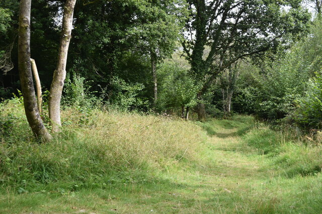
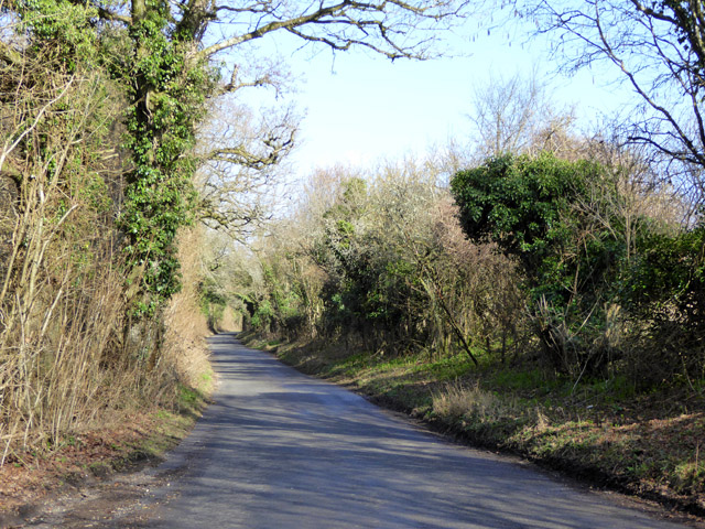
Both Sixpenny Handley and Pentridge offer an abundance of outdoor recreational opportunities. The parishes are crisscrossed with footpaths and bridleways, providing access to scenic landscapes, woodlands, and rolling hills. The area is also home to several nature reserves, where visitors can observe a diverse range of flora and fauna.
Overall, Sixpenny Handley and Pentridge are idyllic rural communities in Dorset, offering residents and visitors a peaceful and picturesque countryside setting, along with a strong sense of community and a range of amenities.
If you have any feedback on the listing, please let us know in the comments section below.
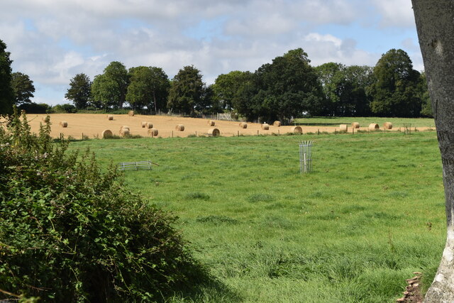
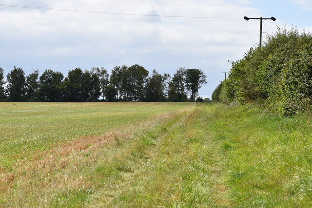
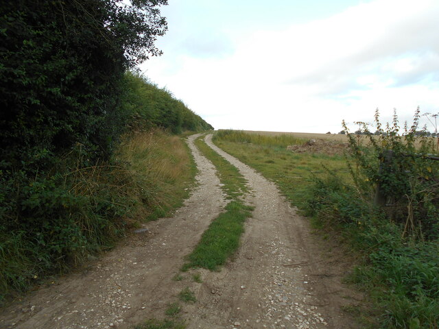
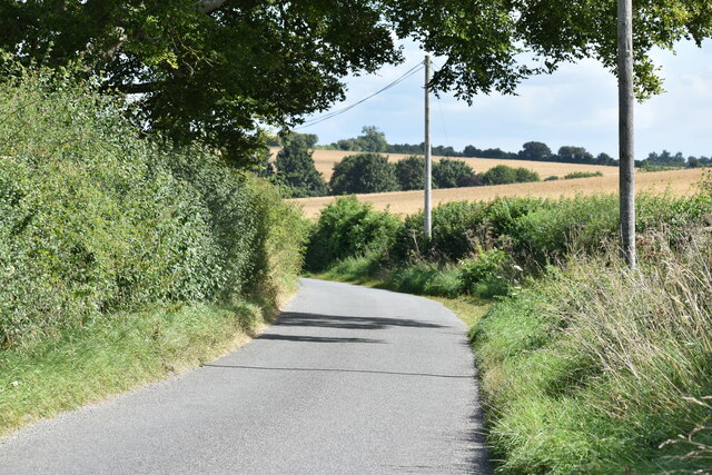
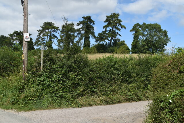
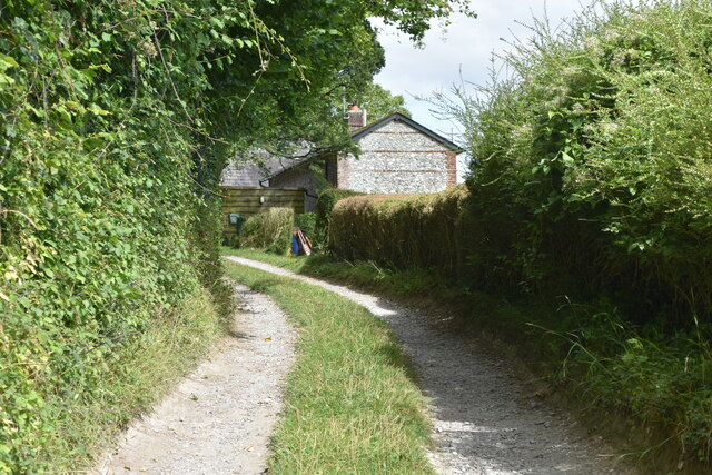
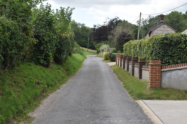
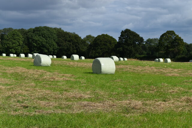
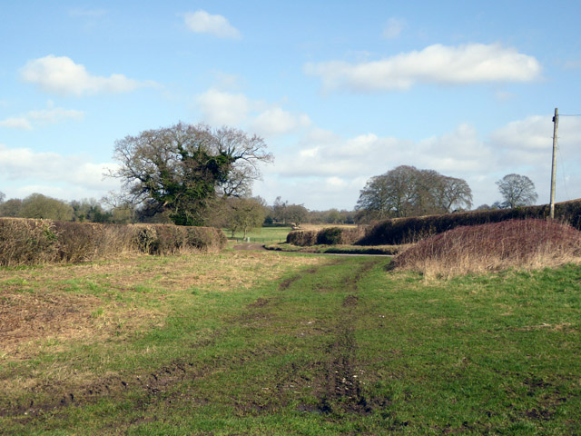
Sixpenny Handley and Pentridge Images
Images are sourced within 2km of 50.955995/-2.005023 or Grid Reference ST9917. Thanks to Geograph Open Source API. All images are credited.


Sixpenny Handley and Pentridge is located at Grid Ref: ST9917 (Lat: 50.955995, Lng: -2.005023)
Administrative County: Dorset
District: East Dorset
Police Authority: Dorset
What 3 Words
///valued.chair.handyman. Near Bower Chalke, Wiltshire
Nearby Locations
Related Wikis

Sixpenny Handley
Sixpenny Handley or Handley is a village and former civil parish, now in the parish of Sixpenny Handley and Pentridge, in north east Dorset, England,...

Sixpenny Handley Hundred
Sixpenny Handley Hundred was a hundred in the county of Dorset, England. It originally consisted of two distinct hundreds: Sexpena and Hanlega. Sometime...

Wor Barrow
Wor Barrow is a Neolithic long barrow on Cranborne Chase, about 1 mile (1.6 km) east of Sixpenny Handley in Dorset, England. It is a scheduled monument...

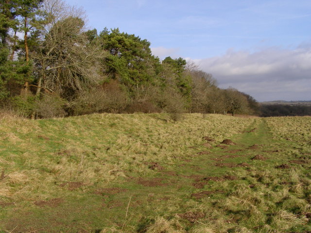
Garston Wood
Garston Wood is a 34-hectare (84-acre) woodland nature reserve on the border between Dorset and Wiltshire in England, around 3 km (2 mi) north of the village...
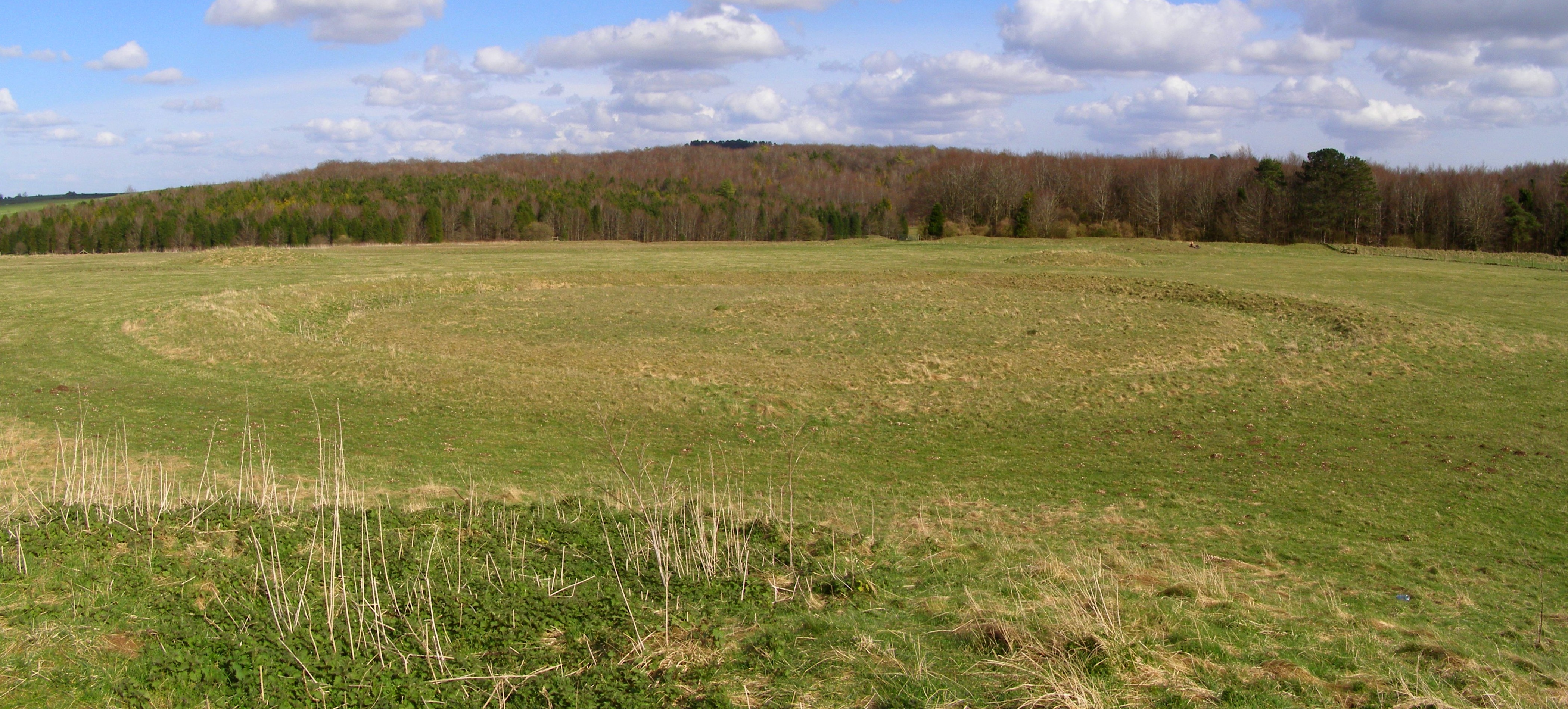
Oakley Down Barrow Cemetery
Oakley Down Barrow Cemetery is a group of Bronze Age round barrows on Cranborne Chase, about 1 mile (1.6 km) east of the village of Sixpenny Handley in...
Ackling Dyke
Ackling Dyke is a section of Roman road in England which runs for 22 miles (35 km) southwest from Old Sarum (Sorviodunum) to the hill fort at Badbury Rings...

Cranborne Chase and West Wiltshire Downs
Cranborne Chase and West Wiltshire Downs is an Area of Outstanding Natural Beauty (AONB) covering 379 square miles (980 km2) of Dorset, Hampshire, Somerset...

Dorset Cursus
The Dorset Cursus is a Neolithic cursus monument that spans across 10 km (6¼ miles) of the chalk downland of Cranborne Chase in east Dorset, United Kingdom...
Nearby Amenities
Located within 500m of 50.955995,-2.005023Have you been to Sixpenny Handley and Pentridge?
Leave your review of Sixpenny Handley and Pentridge below (or comments, questions and feedback).