Silkstone
Civil Parish in Yorkshire Barnsley
England
Silkstone
Silkstone is a civil parish located in the metropolitan borough of Barnsley, in South Yorkshire, England. It is situated approximately 7 miles southwest of Barnsley town center and covers an area of around 10 square miles. The parish includes the villages of Silkstone and Silkstone Common.
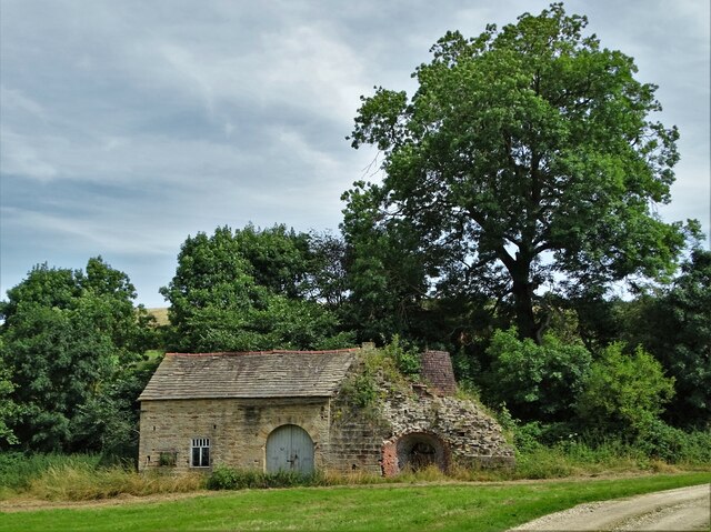
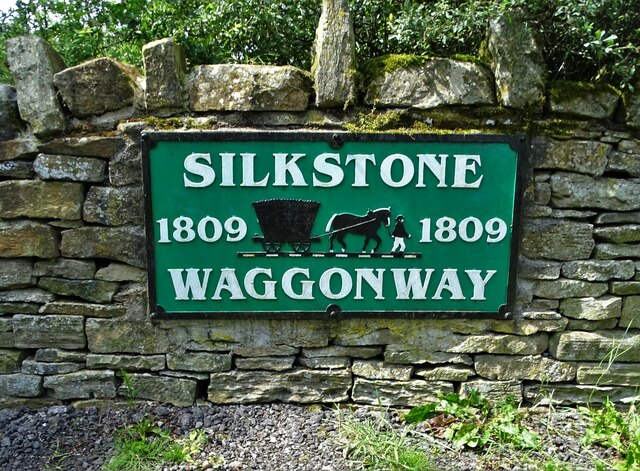
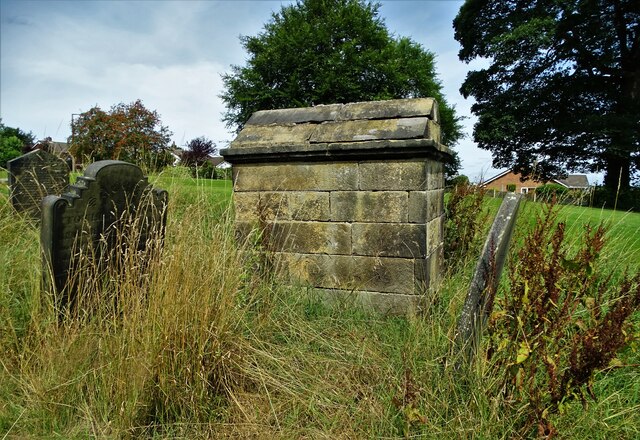
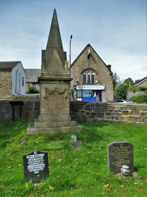
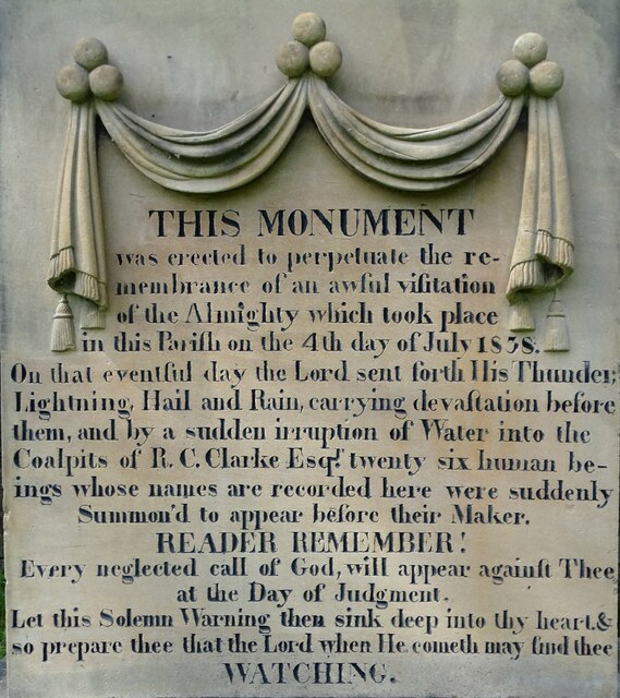
The village of Silkstone is known for its rich history, dating back to medieval times. It is believed to have been named after the silk weaving industry that thrived in the area during the 17th and 18th centuries. Today, the village retains much of its historic charm, with many well-preserved buildings and landmarks.
Silkstone Common, located to the east of Silkstone village, is a more recent addition to the parish. It developed in the 19th century as a residential area for workers in the local coal mines. The village is known for its close-knit community and offers a range of amenities, including shops, schools, and recreational facilities.
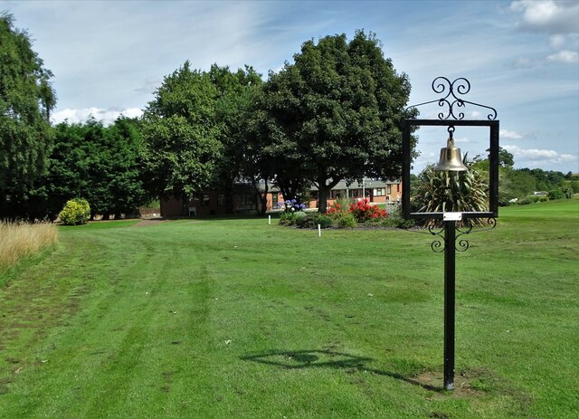
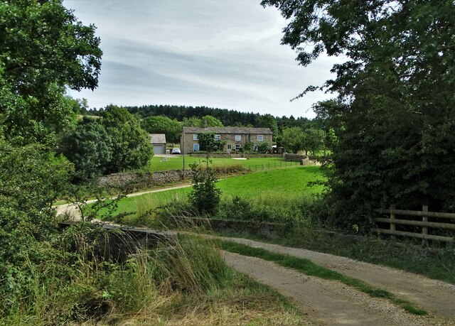
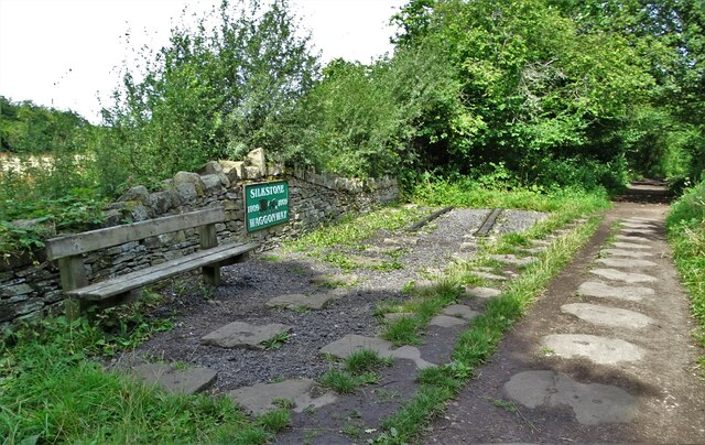
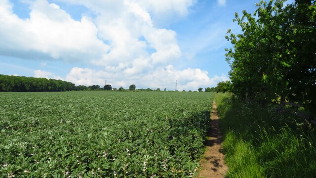
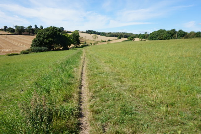
The surrounding countryside of Silkstone is characterized by rolling hills, woodland areas, and picturesque landscapes. The area is popular with walkers and nature enthusiasts, with several footpaths and bridleways providing access to the beautiful countryside.
Overall, Silkstone is a peaceful and scenic civil parish in Yorkshire, offering a mix of history, natural beauty, and a strong sense of community.
If you have any feedback on the listing, please let us know in the comments section below.
Silkstone Images
Images are sourced within 2km of 53.541479/-1.56635 or Grid Reference SE2805. Thanks to Geograph Open Source API. All images are credited.


Silkstone is located at Grid Ref: SE2805 (Lat: 53.541479, Lng: -1.56635)
Division: West Riding
Administrative County: South Yorkshire
District: Barnsley
Police Authority: South Yorkshire
What 3 Words
///clubbing.chefs.renewals. Near Silkstone, South Yorkshire
Nearby Locations
Related Wikis

Noblethorpe
Noblethorpe is a hamlet in the English county of South Yorkshire. The hamlet falls within the Penistone East Ward of the Barnsley MBC. Noblethorpe lies...
Silkstone Common
Silkstone Common is a village in the metropolitan borough of Barnsley in South Yorkshire, England. The village has Junior and Infants Schools, a railway...
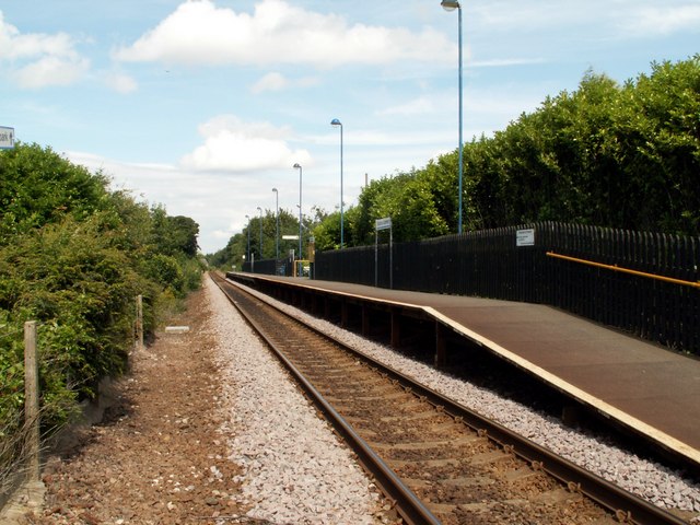
Silkstone Common railway station
The present Silkstone Common railway station, which opened by British Rail on 14 May 1983 serves the village of Silkstone Common, near Barnsley in South...

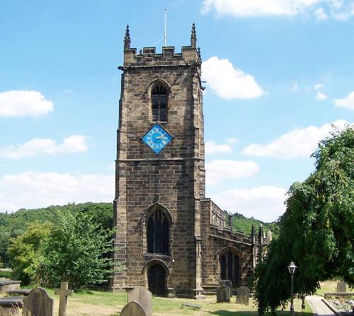
Church of All Saints, Silkstone
The Church of All Saints is the parish church in the village of Silkstone in South Yorkshire, England. It is a Church of England church in the Diocese...
Silkstone
Silkstone is a village and civil parish in the Metropolitan Borough of Barnsley in South Yorkshire, England. It is situated in the foothills of the Pennines...
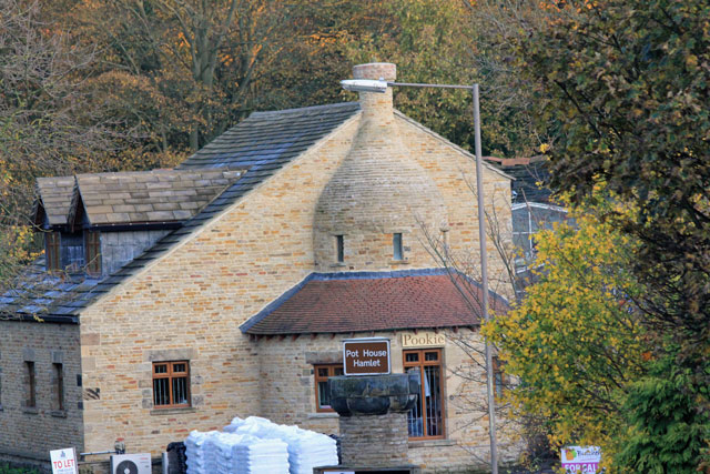
Silkstone glassworks
Silkstone glassworks is situated at Pot House Hamlet, a historic former industrial site in Silkstone, South Yorkshire, England. A glass works was established...
Kine Moor
Kine Moor is a settlement in the English county of South Yorkshire. Kine Moor is part of the metropolitan borough of Barnsley and the civil parish of Silkstone...

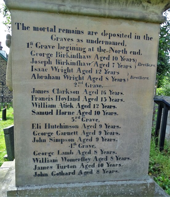
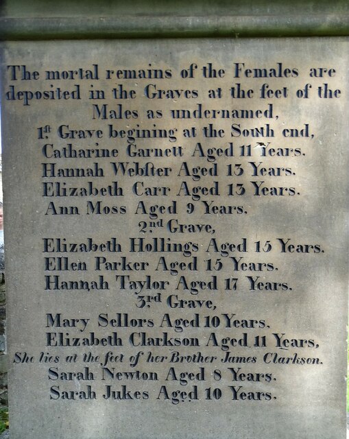
Huskar Pit
Huskar Pit was a coal mine on the South Yorkshire Coalfield, sunk to work the Silkstone seam. It was located in Nabs Wood, outside the village of Silkstone...
Related Videos

PHS Ultradry (rare version) at Holiday Inn Barnsley ♿️
The motor on this one sounded different to the others I've used, and was clearly faulty. This is in the upstairs disabled. The gents ...

Harold Second Trip to Yorkshire, England
Please visit our join Ulster Vintage Social Media Network accounts and other Social Media Sites below Please Visit my New Sites ...

Silkstone Walk Saturday 7th of November 2020
Hi Guys Welcome to another Walk. In this Walk I Show you Round the Village of Silkstone. It's a Local Walk ( Due to Lock down ...

SILKSTONE: Barnsley Parish #16 of 17
Today we're in the penultimate Barnsley parish, and this one's perhaps the most tourist-y of the lot so far. There's so much to say ...
Nearby Amenities
Located within 500m of 53.541479,-1.56635Have you been to Silkstone?
Leave your review of Silkstone below (or comments, questions and feedback).