Shobdon
Civil Parish in Herefordshire
England
Shobdon
Shobdon is a civil parish located in the county of Herefordshire, England. Situated near the Welsh border, it lies approximately 19 kilometers north of the city of Hereford. The parish covers an area of around 13 square kilometers and is home to a population of approximately 700 residents.
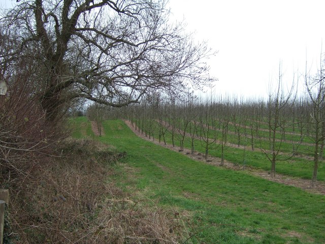
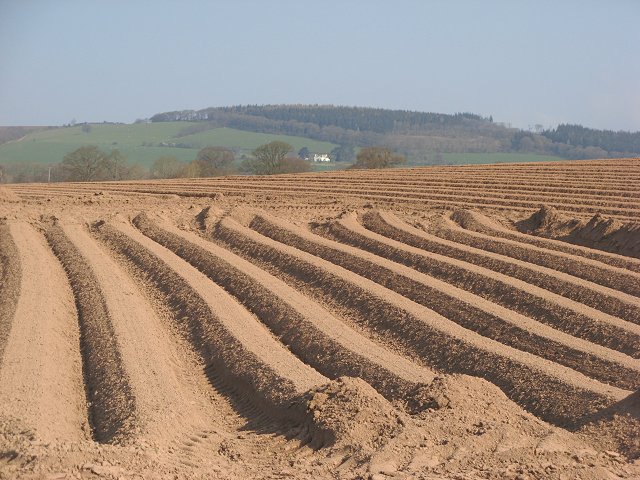
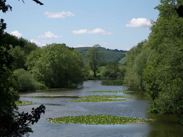
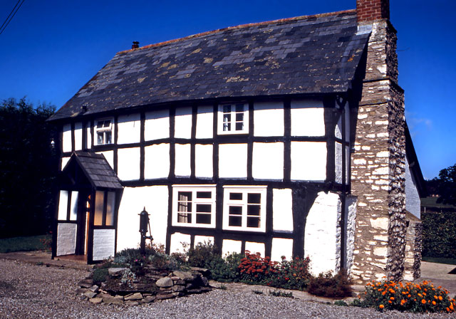
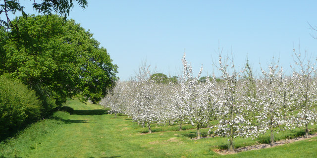
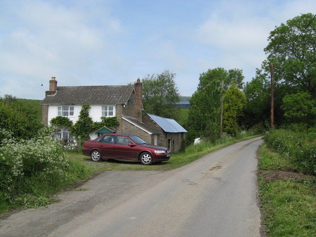
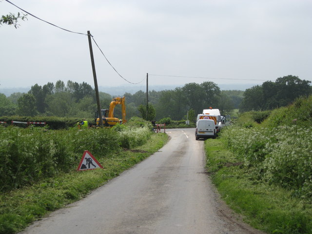
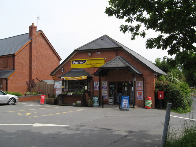
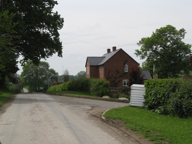
The village of Shobdon serves as the main settlement within the parish. It is known for its picturesque and rural surroundings, with rolling hills and farmland dominating the landscape. The village itself is quaint and charming, featuring a mix of traditional cottages and more modern buildings.
One of the standout features of Shobdon is the historic Shobdon Church, dedicated to St. John the Evangelist. This Grade I listed building dates back to the 12th century and boasts stunning architectural details, including a Norman chancel arch and a beautiful timber-framed bell turret.
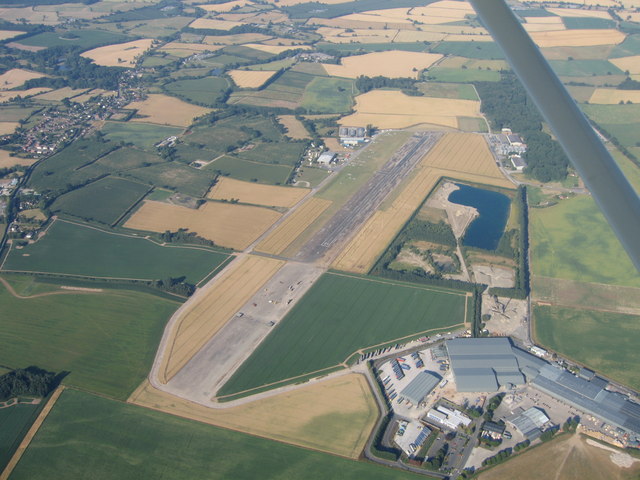
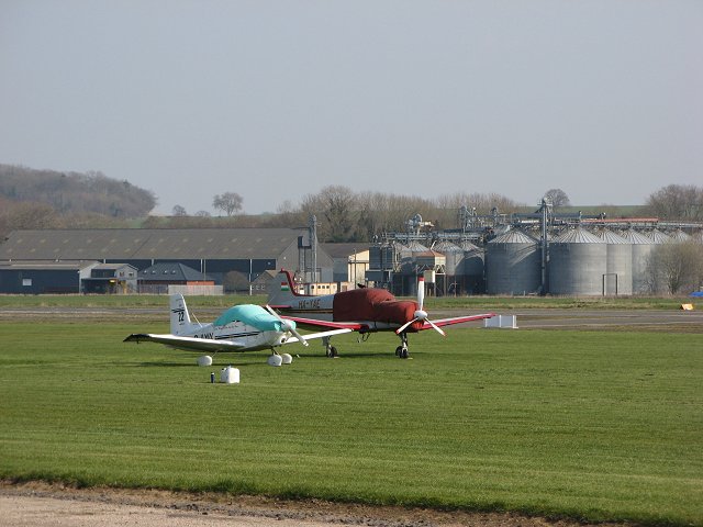
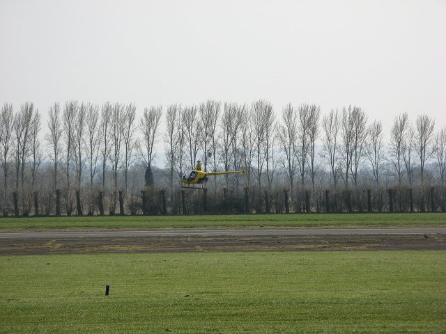
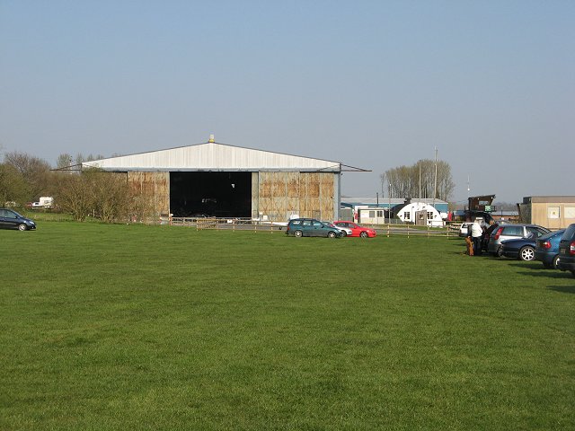
Shobdon is also home to Shobdon Airfield, which is situated on the outskirts of the village. The airfield is well-known for hosting various aviation events and offers facilities for private pilots. It also features a café and a museum showcasing the history of aviation in the area.
The parish of Shobdon offers a tranquil and picturesque setting, making it popular among nature lovers and those seeking a peaceful countryside lifestyle. Its close proximity to Hereford provides easy access to services and amenities, while still maintaining a sense of rural charm and beauty.
If you have any feedback on the listing, please let us know in the comments section below.
Shobdon Images
Images are sourced within 2km of 52.256908/-2.878137 or Grid Reference SO4062. Thanks to Geograph Open Source API. All images are credited.

Shobdon is located at Grid Ref: SO4062 (Lat: 52.256908, Lng: -2.878137)
Unitary Authority: County of Herefordshire
Police Authority: West Mercia
What 3 Words
///rationing.placidly.wove. Near Kingsland, Herefordshire
Nearby Locations
Related Wikis

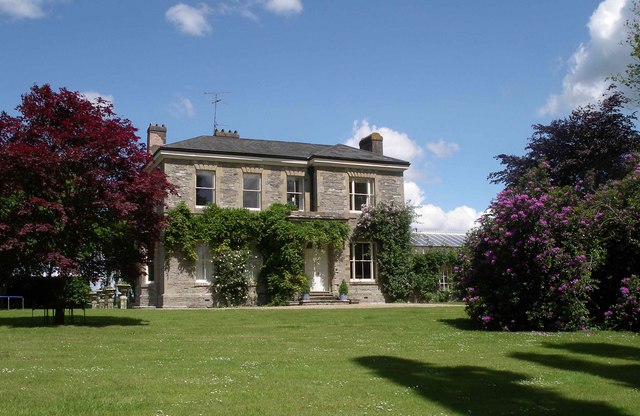
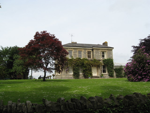
Shobdon Court
Shobdon Court was an 18th-century English country house in the village of Shobdon, near Leominster, Herefordshire. Although the main house has since been...

Shobdon Priory
Shobdon Priory was a priory in Herefordshire, England at grid reference SO40106284. The church dated from 1140 and was demolished in the 18th century....

St John's Church, Shobdon
The Church of St John is a Church of England parish church at Shobdon in the English county of Herefordshire. Of 14th century origins, the church was...

Shobdon
Shobdon is a village and civil parish in Herefordshire, England, about 15 miles north of Hereford, six miles west of Leominster, and 2 miles southwest...
Nearby Amenities
Located within 500m of 52.256908,-2.878137Have you been to Shobdon?
Leave your review of Shobdon below (or comments, questions and feedback).