Shevington
Civil Parish in Lancashire Wigan
England
Shevington
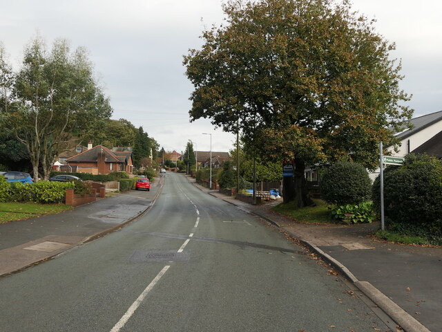
Shevington is a civil parish located in the county of Lancashire, England. Situated approximately 7 miles northwest of Wigan, the parish covers an area of around 5 square miles. Shevington is a predominantly residential area with a population of approximately 9,000 people.
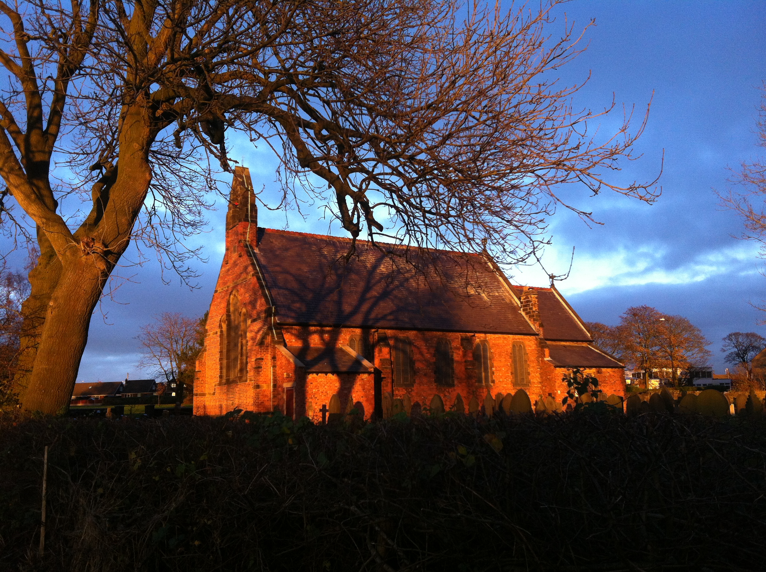
The village of Shevington dates back to medieval times and is mentioned in the Domesday Book of 1086. It was primarily an agricultural community, with farming and coal mining being the main industries in the area. However, with the decline of coal mining in the 20th century, the village shifted towards a more residential focus.
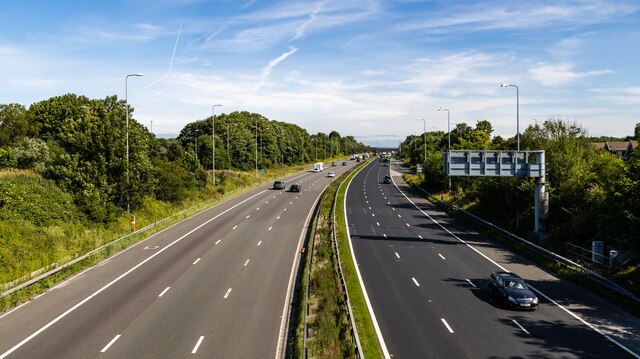
The parish is well-served by public transportation, with regular bus services connecting Shevington to nearby towns and cities. The nearest railway station is located in the neighboring village of Gathurst, providing easy access to regional and national rail networks.
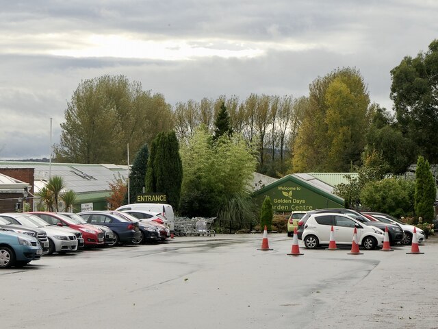
Shevington offers a range of local amenities, including several shops, pubs, and restaurants. The village also has a primary school, providing education for children aged 4 to 11.
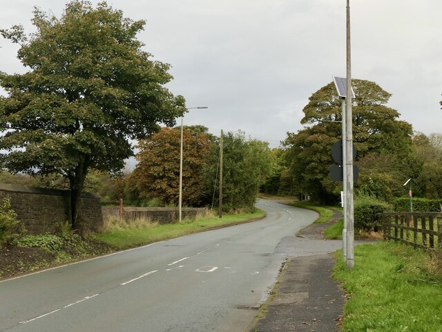
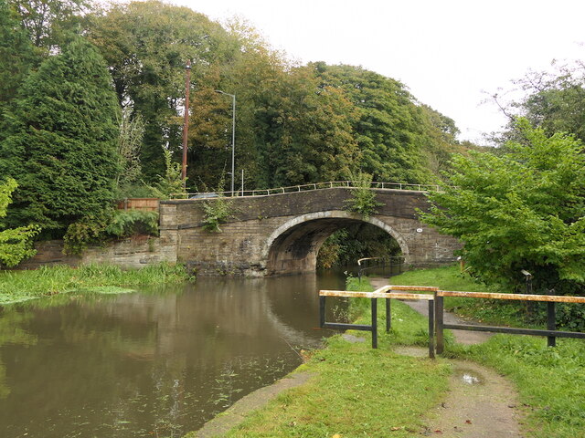
The area surrounding Shevington is known for its scenic countryside, with picturesque walking paths and green spaces. The village is located close to the Leeds-Liverpool Canal, providing opportunities for leisurely walks and boating activities.
Overall, Shevington is a charming civil parish that combines its historical roots with modern amenities, making it an attractive place to live for those seeking a peaceful and scenic community within Lancashire.
If you have any feedback on the listing, please let us know in the comments section below.
Shevington Images
Images are sourced within 2km of 53.574871/-2.696403 or Grid Reference SD5308. Thanks to Geograph Open Source API. All images are credited.


Shevington is located at Grid Ref: SD5308 (Lat: 53.574871, Lng: -2.696403)
Administrative County: Greater Manchester
District: Wigan
Police Authority: Greater Manchester
What 3 Words
///humble.rewarding.steepest. Near Shevington, Manchester
Nearby Locations
Related Wikis
Shevington
Shevington is a village and civil parish within the Metropolitan Borough of Wigan, Greater Manchester, England. The population of the Wigan ward called...
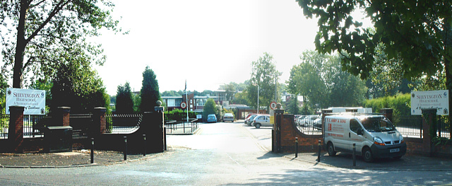
Shevington High School
Shevington High School is a coeducational secondary school located in Shevington in the Metropolitan Borough of Wigan in Greater Manchester, England.It...
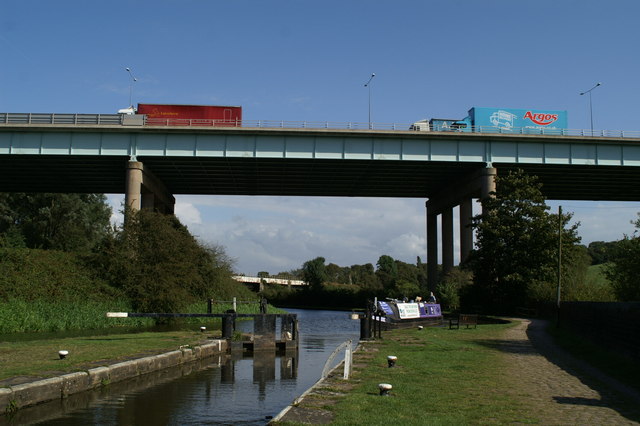
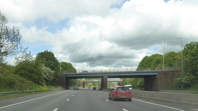
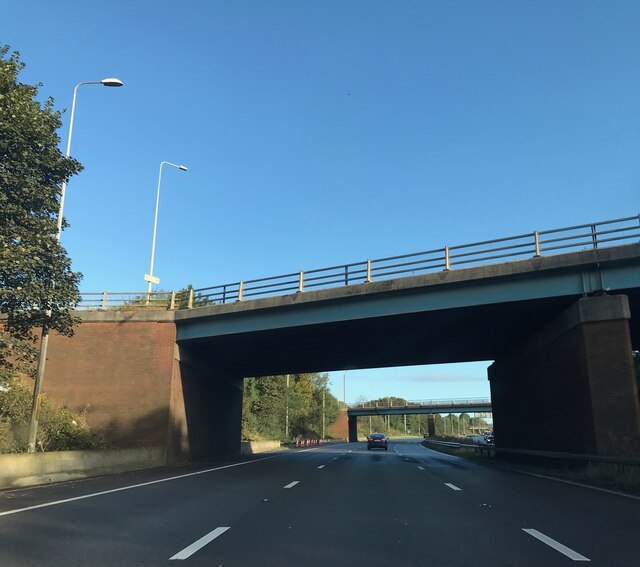
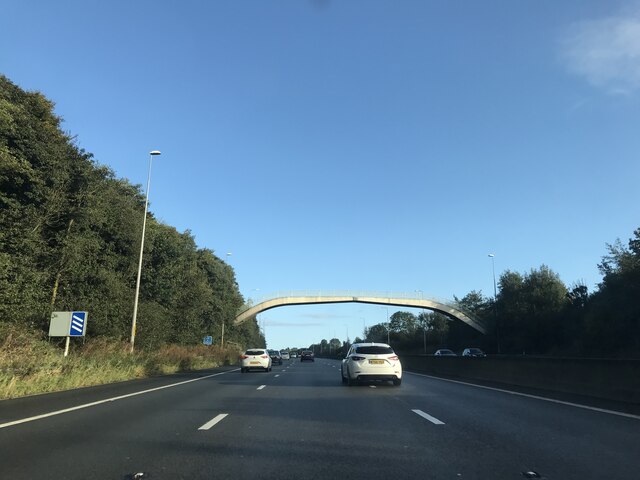
Gathurst Viaduct
Gathurst Viaduct carries the M6 motorway across the Douglas valley at Shevington, Wigan, Greater Manchester, England. The second largest bridge on the...
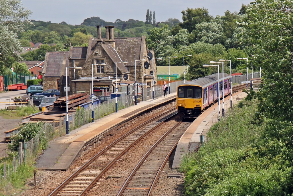
Appley Bridge railway station
Appley Bridge railway station serves the villages of Appley Bridge and Shevington, both in Metropolitan Borough of Wigan, Greater Manchester in England...
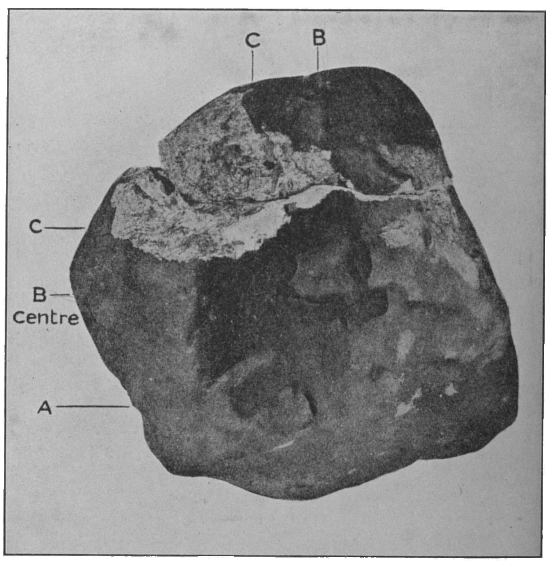
Appley Bridge meteorite
The Appley Bridge meteorite is a meteorite that hit ground at Halliwell Farm in Appley Bridge, Lancashire, England at around 8:45 PM on Tuesday, 13 October...

Appley Bridge
Appley Bridge is a village in West Lancashire, England. It straddles the borders of Greater Manchester and Lancashire, England. It is located off Junction...
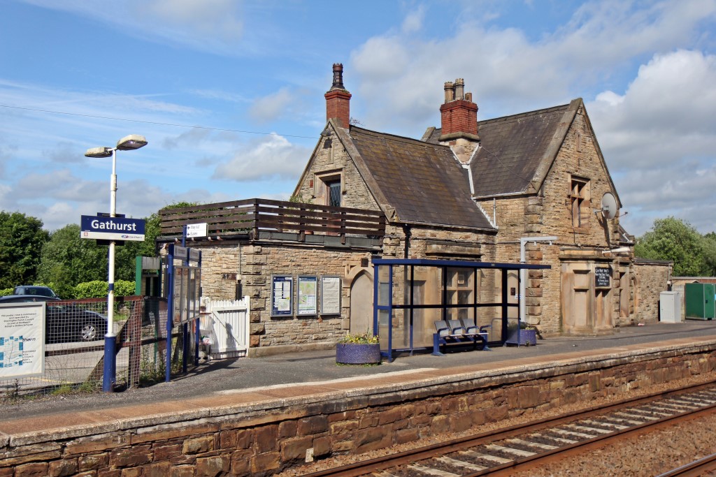
Gathurst railway station
Gathurst railway station is a two-platform railway station on the outskirts of the Metropolitan Borough of Wigan, Greater Manchester, England. The station...

Gathurst
Gathurst (, locally ) is the name given to a small section of the township of Shevington, a Civil Parish within the Metropolitan Borough of Wigan, Greater...
Nearby Amenities
Located within 500m of 53.574871,-2.696403Have you been to Shevington?
Leave your review of Shevington below (or comments, questions and feedback).