Sherbourne

Civil Parish in Warwickshire Warwick

England

Sherbourne

High Street, Barford
High Street, Barford Credit: Ian S

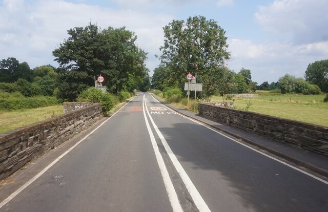
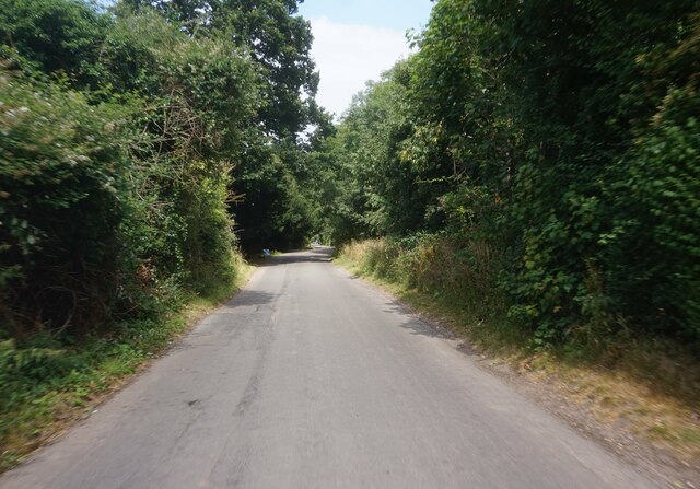
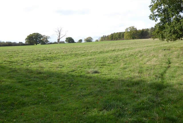
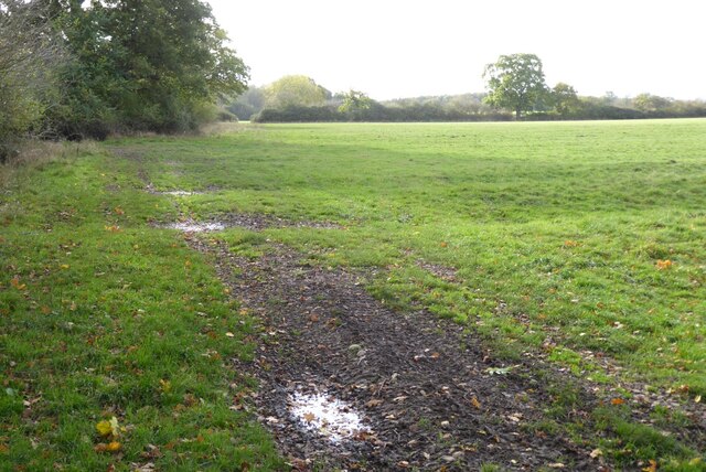
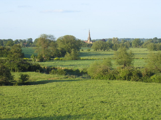
Sherbourne is a civil parish located in the county of Warwickshire, England. It is situated approximately 4 miles north of the town of Warwick and covers an area of around 1.5 square miles. The parish is primarily rural, with the River Avon flowing through its western boundary and open fields surrounding the village.

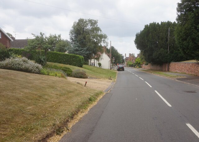
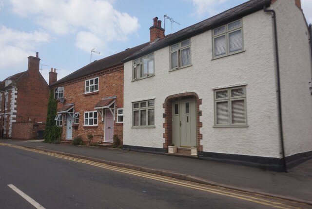
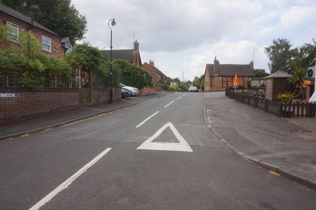
The village of Sherbourne is small and quaint, consisting of mainly traditional stone cottages and houses. It has a population of around 250 residents, making it a close-knit community. The local economy is predominantly agricultural, with farming being the main occupation for many residents.

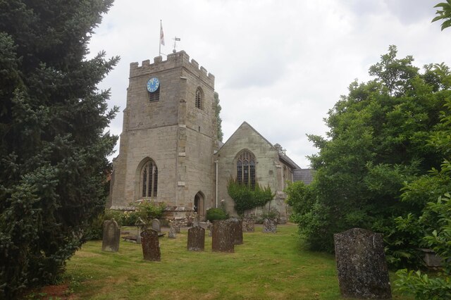
One of the notable features of Sherbourne is its historic church, St. Mary's Church. The church dates back to the 12th century and is known for its beautiful architecture, including a Norman tower and a medieval font. It is a place of worship for the local community and also attracts visitors interested in its historical significance.

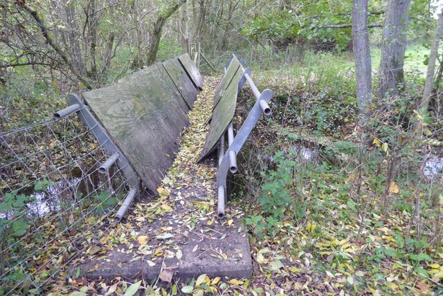
Sherbourne is surrounded by picturesque countryside, offering opportunities for outdoor activities such as walking, cycling, and fishing along the River Avon. The village also has a small primary school, providing education for the local children.

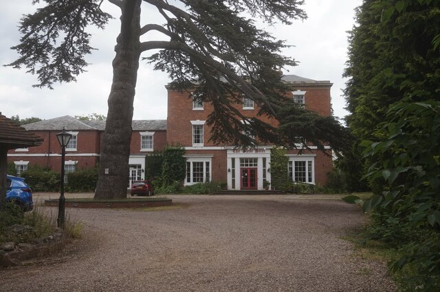
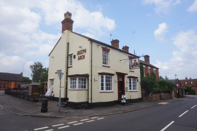
In terms of amenities, Sherbourne has a village hall that serves as a community hub, hosting various events and activities throughout the year. There is also a village pub, providing a social gathering place for residents and visitors.

Overall, Sherbourne offers a peaceful and rural lifestyle, with a strong sense of community and a rich historical heritage.

If you have any feedback on the listing, please let us know in the comments section below.
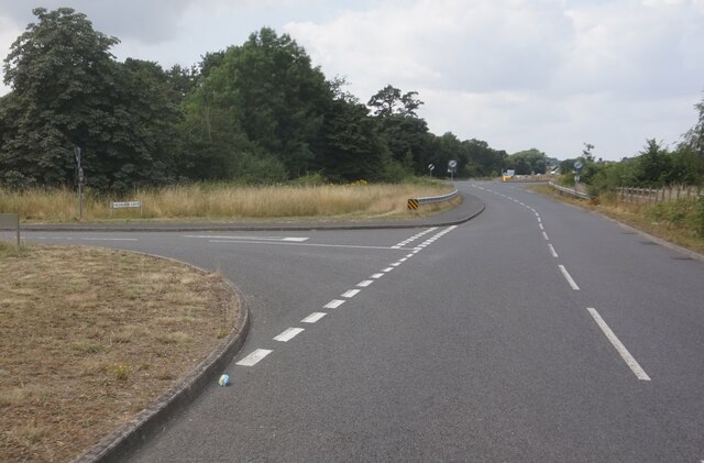
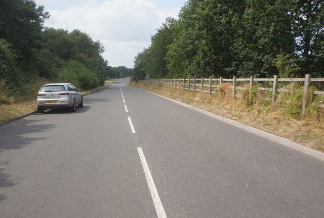
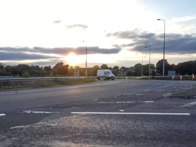
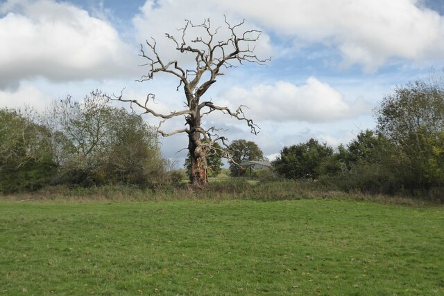
Sherbourne Images

Images are sourced within 2km of 52.25562/-1.624224 or Grid Reference SP2562. Thanks to Geograph Open Source API. All images are credited.

High Street, Barford
The Glebe Hotel, Barford
St Peter's Church, Barford
Joseph Arch public house, Barford
Houses on Church Street, Barford
Mill Lane, Barford
Mill Lane, Barford
Bridge Street, Barford
Water Lane, Sherbourne
Stratford Road at Vicarage Lane
Stratford Road towards the A46
Two moated sites at Court Farm House, Fulbrook: aerial 2021 The monument survives well and remains largely unencumbered by modern development. It represents a good example of two moated sites constructed within close proximity to each other with valuable documentary information concerning their layout. Evidence for the design and function of the manor house which occupied the southern moated island and for structures which occupied the northern moated island will survive beneath the ground surface. Additionally organic material will be preserved within the waterfilled moat ditches of the southern moated site. The site retains well preserved remains of an extensive fishpond system, and the whole complex is set within units of ridge and furrow, the development of which will inform discussion of the date and character of occupation of the various parts of the site.

See <span class="nowrap"><a title="https://historicengland.org.uk/listing/the-list/list-entry/1011196" rel="nofollow ugc noopener" href="https://historicengland.org.uk/listing/the-list/list-entry/1011196">Link</a><img style="margin-left:2px;" alt="External link" title="External link - shift click to open in new window" src="https://s1.geograph.org.uk/img/external.png" width="10" height="10"/></span>
Two moated sites at Court Farm House, Fulbrook: aerial 2021
The monument survives well and remains largely unencumbered by modern development. It represents a good example of two moated sites constructed within close proximity to each other with valuable documentary information concerning their layout. Evidence for the design and function of the manor house which occupied the southern moated island and for structures which occupied the northern moated island will survive beneath the ground surface. Additionally organic material will be preserved within the waterfilled moat ditches of the southern moated site. The site retains well preserved remains of an extensive fishpond system, and the whole complex is set within units of ridge and furrow, the development of which will inform discussion of the date and character of occupation of the various parts of the site. See LinkExternal link
Sherbourne : The A46 A roundabout on the A46.
Sherbourne : The A46
A roundabout on the A46.
Dead oak tree Dead oak tree in a hedgerow near Northbrook Farm.
Dead oak tree
Dead oak tree in a hedgerow near Northbrook Farm.
Field with ridge and furrow Field with ridge and furrow near Northbrook Farm, North Lindsey.
Field with ridge and furrow
Field with ridge and furrow near Northbrook Farm, North Lindsey.
Footbridge crossing Sherbourne Brook Footbridge crossing Sherbourne Brook on a footpath from Snitterfield to Warwick.
Footbridge crossing Sherbourne Brook
Footbridge crossing Sherbourne Brook on a footpath from Snitterfield to Warwick.
Field headland Field headland footpath near Northbrook Farm.
Field headland
Field headland footpath near Northbrook Farm.
Fallen tree Fallen tree beside a kissing gate.
Fallen tree
Fallen tree beside a kissing gate.
Show me another place!

Sherbourne is located at Grid Ref: SP2562 (Lat: 52.25562, Lng: -1.624224)

Administrative County: Warwickshire

District: Warwick

Police Authority: Warwickshire

What 3 Words

///alive.jukebox.later. Near Warwick, Warwickshire

Nearby Locations

Sherbourne

Related Wikis

Sherbourne, Warwickshire

Sherbourne is a village and civil parish in the Warwick district of Warwickshire, England. The population of the civil parish at the 2011 Census was 174...

Longbridge Interchange

Longbridge Interchange (also known as Longbridge Island) is a major road and motorway junction between Warwick and Sherbourne, Warwickshire, connecting...

M40 minibus crash

On 18 November 1993, just after midnight, a minibus was involved in a fatal collision with a maintenance vehicle on the M40 motorway near Warwick, England...

RAF Warwick

RAF Warwick is a former Royal Air Force relief landing ground located 1.7 miles (2.7 km) south west of Warwick, Warwickshire, England. RAF Warwick was...

Barford, Warwickshire

Barford is a village and civil parish in the Warwick district of Warwickshire, England, about three miles south of Warwick. As at the 2001 census the parish...

Fulbrook, Warwickshire

Fulbrook is a small parish and deserted village in Warwickshire, England, situated about 4 miles (6 km) north-east of Stratford upon Avon. Population details...
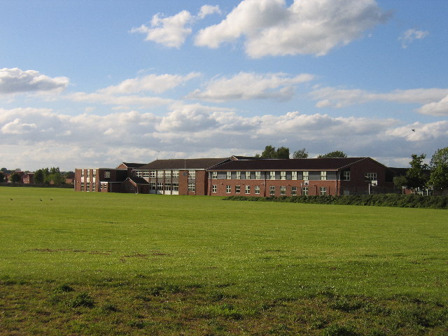
Aylesford School

Aylesford School and Sixth Form College is a coeducational all-through school and sixth form located in Warwick, England. It was constructed on part of...

Racing Club Warwick F.C.

Racing Club Warwick Football Club is a football club based in Warwick, Warwickshire, and competes in the United Counties League Premier Division South...

Nearby Amenities

Located within 500m of 52.25562,-1.624224
Note: there is no sign for a NUT restriction here- see mapillary images
Lat/Long: 52.2594722/-1.6208194
Post Box
Brand: Royal Mail
Brand Wikidata: Q638098
Collection Times: Mo-Fr 17:30; Sa 08:00
Operator: Royal Mail
Operator Wikidata: Q638098
Post Box Type: lamp
Ref: CV35 71
Royal Cypher: EIIR
Royal Cypher Wikidata: Q33102113
Source: GPS Survey
Lat/Long: 52.2576779/-1.6183172
Bus Stop
Bench: no
Bin: no
Bus: yes
Covered: no
Naptan AtcoCode: 4200F122692
Naptan Indicator: Opp
Naptan NaptanCode: wardmgda
Naptan Verified: no
Passenger Information Display: no
Public Transport: platform
Lat/Long: 52.2566718/-1.6225647
Give Way
Direction: forward
Lat/Long: 52.25658/-1.622834
Give Way
Direction: forward
Lat/Long: 52.2593244/-1.620182
Give Way
Direction: forward
Lat/Long: 52.2588497/-1.6193346
Direction: forward
Maxspeed: 70 mph
Traffic Sign: maxspeed
Lat/Long: 52.2585857/-1.6200962
Give Way
Direction: forward
Lat/Long: 52.2588253/-1.6203372
Market Garden Sherbourne
Brand: National Grid
Brand Wikidata: Q1465461
Frequency: 50
Location Transition: yes
Material: wood
Operator: National Grid Electricity Distribution
Operator Old: Western Power Distribution
Operator Wikidata: Q7988183
Owner: National Grid Electricity Distribution (East Midlands) Plc
Owner Wikidata: Q114348127
Power: pole
Ref: 931920
Transformer: distribution
Voltage Primary: 11000
Voltage Secondary: 400
Lat/Long: 52.255666/-1.6269636
Brand: National Grid
Brand Wikidata: Q1465461
Material: wood
Operator: National Grid Electricity Distribution
Operator Old: Western Power Distribution
Operator Wikidata: Q7988183
Owner: National Grid Electricity Distribution (East Midlands) Plc
Owner Wikidata: Q114348127
Power: pole
Lat/Long: 52.2563376/-1.6274625
Brand: National Grid
Brand Wikidata: Q1465461
Material: wood
Operator: National Grid Electricity Distribution
Operator Old: Western Power Distribution
Operator Wikidata: Q7988183
Owner: National Grid Electricity Distribution (East Midlands) Plc
Owner Wikidata: Q114348127
Power: pole
Lat/Long: 52.2568547/-1.6277871
Brand: National Grid
Brand Wikidata: Q1465461
Material: wood
Operator: National Grid Electricity Distribution
Operator Old: Western Power Distribution
Operator Wikidata: Q7988183
Owner: National Grid Electricity Distribution (East Midlands) Plc
Owner Wikidata: Q114348127
Power: pole
Lat/Long: 52.2574359/-1.6281974
Brand: National Grid
Brand Wikidata: Q1465461
Frequency: 50
Location Transition: yes
Material: wood
Operator: National Grid Electricity Distribution
Operator Old: Western Power Distribution
Operator Wikidata: Q7988183
Owner: National Grid Electricity Distribution (East Midlands) Plc
Owner Wikidata: Q114348127
Power: pole
Ref: 931819
Transformer: distribution
Lat/Long: 52.257303/-1.6175652
Brand: National Grid
Brand Wikidata: Q1465461
Location Transition: yes
Material: wood
Operator: National Grid Electricity Distribution
Operator Old: Western Power Distribution
Operator Wikidata: Q7988183
Owner: National Grid Electricity Distribution (East Midlands) Plc
Owner Wikidata: Q114348127
Power: pole
Lat/Long: 52.2596409/-1.6222778
Brand: National Grid
Brand Wikidata: Q1465461
Material: wood
Operator: National Grid Electricity Distribution
Operator Old: Western Power Distribution
Operator Wikidata: Q7988183
Owner: National Grid Electricity Distribution (East Midlands) Plc
Owner Wikidata: Q114348127
Power: pole
Lat/Long: 52.2593207/-1.6252524
Brand: National Grid
Brand Wikidata: Q1465461
Material: wood
Operator: National Grid Electricity Distribution
Operator Old: Western Power Distribution
Operator Wikidata: Q7988183
Owner: National Grid Electricity Distribution (East Midlands) Plc
Owner Wikidata: Q114348127
Power: pole
Lat/Long: 52.2583685/-1.6299382
Brand: National Grid
Brand Wikidata: Q1465461
Material: wood
Operator: National Grid Electricity Distribution
Operator Old: Western Power Distribution
Operator Wikidata: Q7988183
Owner: National Grid Electricity Distribution (East Midlands) Plc
Owner Wikidata: Q114348127
Power: pole
Lat/Long: 52.2579942/-1.6285944
Direction: forward
Maxspeed: 40 mph
Traffic Sign: maxspeed
Lat/Long: 52.2594107/-1.6205848
Brand: National Grid
Brand Wikidata: Q1465461
Material: wood
Operator: National Grid Electricity Distribution
Operator Old: Western Power Distribution
Operator Wikidata: Q7988183
Owner: National Grid Electricity Distribution (East Midlands) Plc
Owner Wikidata: Q114348127
Power: pole
Lat/Long: 52.2595368/-1.6232448
Brand: National Grid
Brand Wikidata: Q1465461
Material: wood
Operator: National Grid Electricity Distribution
Operator Old: Western Power Distribution
Operator Wikidata: Q7988183
Owner: National Grid Electricity Distribution (East Midlands) Plc
Owner Wikidata: Q114348127
Power: pole
Lat/Long: 52.2594378/-1.6241648
Brand: National Grid
Brand Wikidata: Q1465461
Material: wood
Operator: National Grid Electricity Distribution
Operator Old: Western Power Distribution
Operator Wikidata: Q7988183
Owner: National Grid Electricity Distribution (East Midlands) Plc
Owner Wikidata: Q114348127
Power: pole
Lat/Long: 52.2590483/-1.627565
Street Lamp
Lat/Long: 52.2587796/-1.6191698
Street Lamp
Lamp Mount: bent_mast
Lat/Long: 52.2585097/-1.6200464
Street Lamp
Lamp Mount: bent_mast
Lat/Long: 52.2582552/-1.6203719
Street Lamp
Lamp Mount: bent_mast
Lat/Long: 52.2594747/-1.6209994
Street Lamp
Lamp Mount: bent_mast
Lat/Long: 52.2581559/-1.6210977
Street Lamp
Lamp Mount: bent_mast
Lat/Long: 52.2592374/-1.6203557
Street Lamp
Lamp Mount: bent_mast
Lat/Long: 52.2594387/-1.6204845
Street Lamp
Lamp Mount: bent_mast
Lat/Long: 52.258682/-1.620536
Street Lamp
Lamp Mount: bent_mast
Lat/Long: 52.2586933/-1.6201877
Street Lamp
Lat/Long: 52.2579679/-1.620725
Street Lamp
Lamp Mount: bent_mast
Lat/Long: 52.2589248/-1.6192472
Street Lamp
Lat/Long: 52.2586444/-1.619694
Street Lamp
Lat/Long: 52.2589115/-1.6204819
Street Lamp
Lamp Mount: bent_mast
Lat/Long: 52.2584455/-1.6207822
Street Lamp
Lamp Mount: bent_mast
Lat/Long: 52.2592257/-1.6206197
Direction: forward
Maxspeed: 50 mph
Traffic Sign: maxspeed
Lat/Long: 52.2593516/-1.6206436
Direction: forward
Maxspeed: 40 mph
Traffic Sign: maxspeed
Lat/Long: 52.2586284/-1.6204465
The data included in this document is from www.openstreetmap.org. The data is made available under ODbL.

Have you been to Sherbourne?

Leave your review of Sherbourne below (or comments, questions and feedback).