Sherborne
Civil Parish in Dorset West Dorset
England
Sherborne

Sherborne is a civil parish located in the county of Dorset, England. Situated in the southwestern part of the country, it is nestled in the picturesque Dorset Downs. The parish covers an area of approximately 6 square miles and has a population of around 10,000 people.
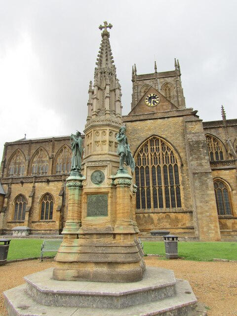
Sherborne is well-known for its rich historical heritage, with evidence of human settlement dating back to the Neolithic era. The town itself is dominated by the stunning Sherborne Abbey, a magnificent medieval church that has been a place of worship for over 1300 years. The abbey's architecture is a blend of Norman and Perpendicular Gothic styles, showcasing the town's historical significance.
The town center of Sherborne is characterized by its charming narrow streets lined with Georgian buildings, quaint shops, and traditional British pubs. One of the highlights is the Sherborne Castle, a 16th-century Tudor mansion set within beautiful gardens and a lake. The castle is open to the public and offers a glimpse into the lives of the Digby family who have owned it since 1617.
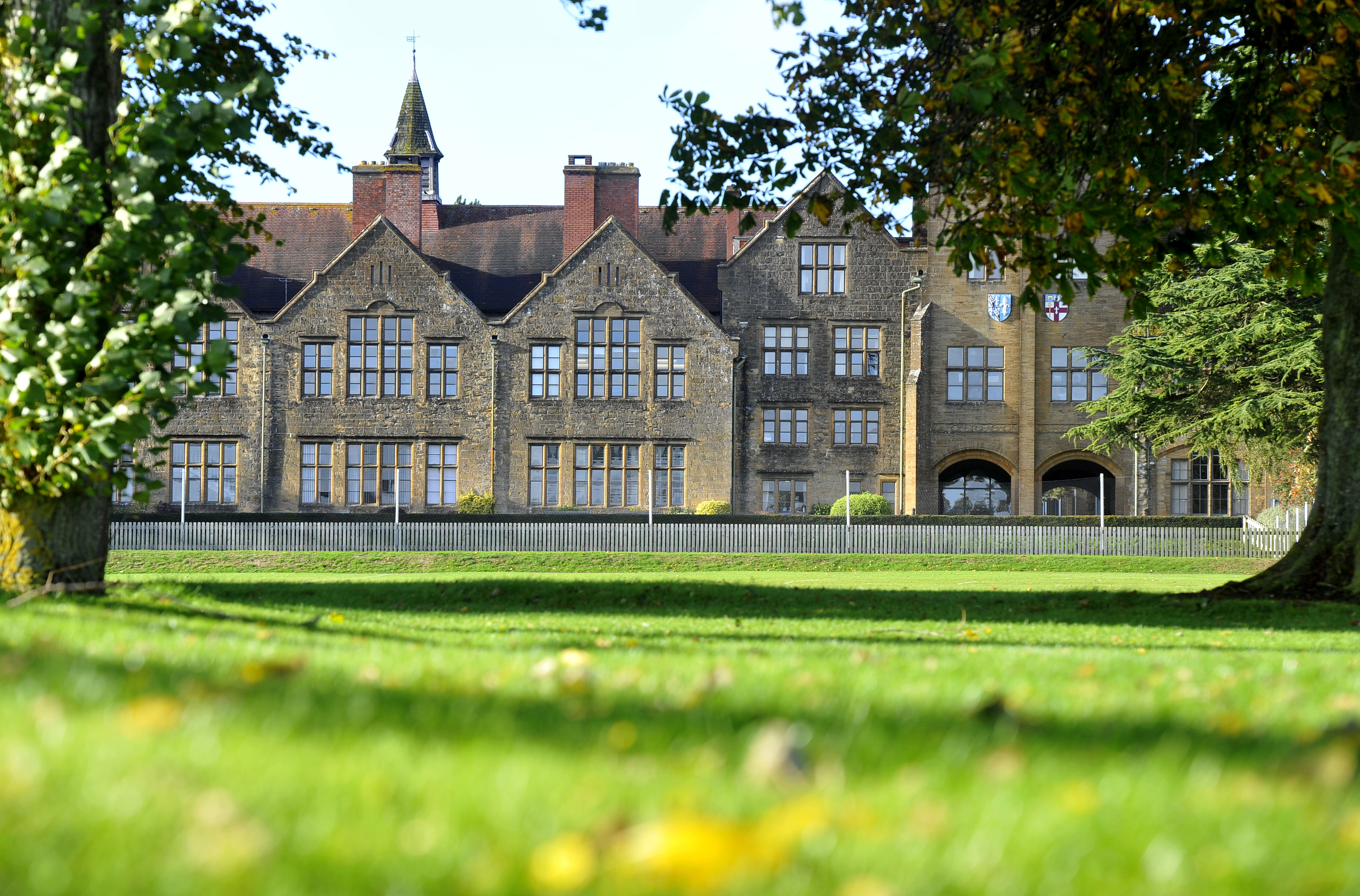
Sherborne is also renowned for its prestigious public school, Sherborne School, which was founded in the 16th century and has a long-standing reputation for academic excellence. The school's beautiful buildings and grounds add to the town's overall appeal.
The surrounding countryside of Sherborne offers ample opportunities for outdoor activities, such as hiking, cycling, and fishing. The town is also a gateway to the scenic Jurassic Coast, a UNESCO World Heritage Site known for its stunning cliffs and fossils.
Overall, Sherborne is a charming and historically significant town that attracts visitors with its architectural beauty, cultural heritage, and natural surroundings.
If you have any feedback on the listing, please let us know in the comments section below.
Sherborne Images
Images are sourced within 2km of 50.949308/-2.523796 or Grid Reference ST6316. Thanks to Geograph Open Source API. All images are credited.


Sherborne is located at Grid Ref: ST6316 (Lat: 50.949308, Lng: -2.523796)
Administrative County: Dorset
District: West Dorset
Police Authority: Dorset
What 3 Words
///diagram.darts.drifter. Near Sherborne, Dorset
Related Wikis

Sherborne Hundred
Sherborne Hundred was a hundred in the county of Dorset, England, containing the following parishes: == See also == List of hundreds in Dorset == Sources... ==
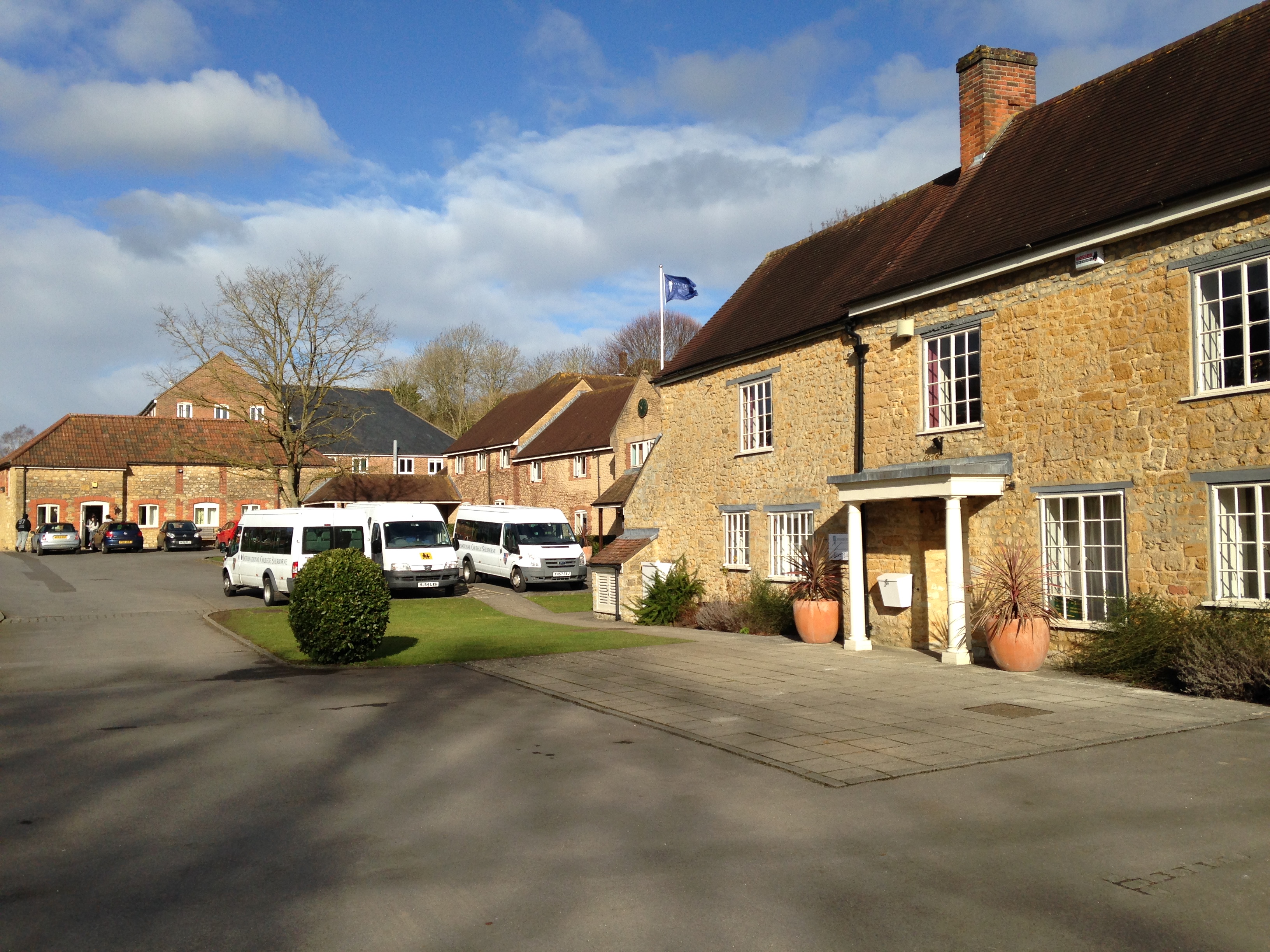
Sherborne International
Sherborne International (formerly the International College, Sherborne School) is a private co-educational fully boarding school for boys and girls aged...

Sherborne Preparatory School
Sherborne Preparatory School is a non-selective co-educational preparatory school in the town of Sherborne, Dorset in southern England. It is an independent...
Sherborne School for Girls
Sherborne Girls, formally known as Sherborne School for Girls, is an independent day and boarding school for girls, located in Sherborne, North Dorset...
Abbey104
Abbey104 (formerly known as Radio Sherborne) is a community radio station broadcasting on 104.7 FM to Sherborne and the surrounding areas in Dorset and...

Sherborne
Sherborne is a market town and civil parish in north west Dorset, in South West England. It is sited on the River Yeo, on the edge of the Blackmore Vale...
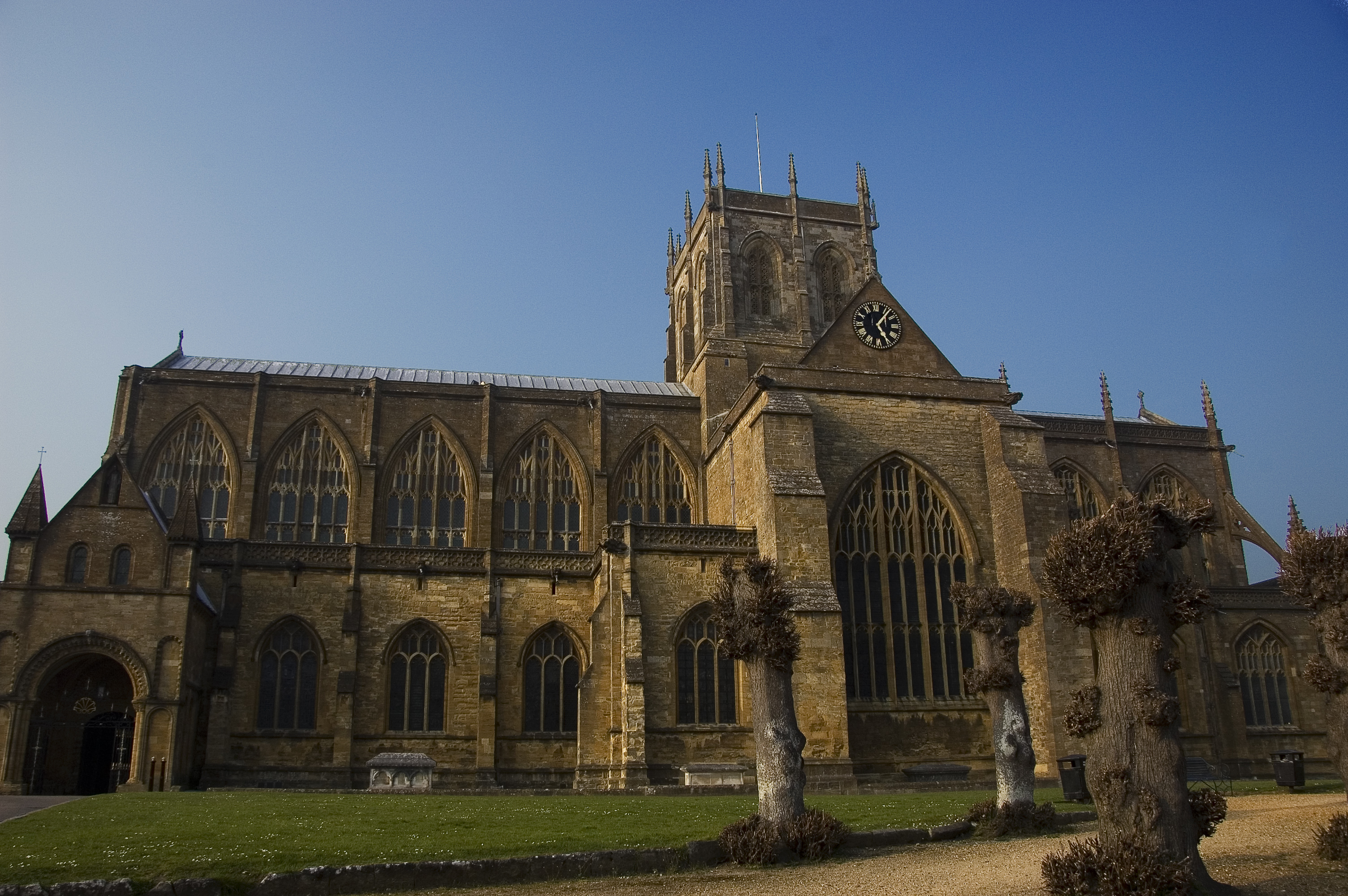
Sherborne Abbey
Sherborne Abbey, otherwise the Abbey Church of St. Mary the Virgin, is a Church of England church in Sherborne in the English county of Dorset. It has...
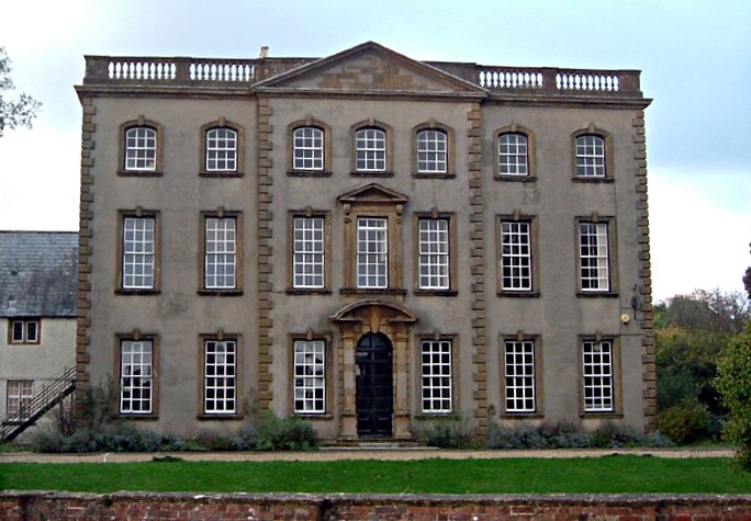
Sherborne House, Dorset
Sherborne House is a Grade I listed building. in Newland, Sherborne, Dorset, England. == History == Sherborne House was built c.1720 for Henry Seymour...
Nearby Amenities
Located within 500m of 50.949308,-2.523796Have you been to Sherborne?
Leave your review of Sherborne below (or comments, questions and feedback).