Shapwick

Civil Parish in Dorset East Dorset

England

Shapwick

Farmland view from Badbury Rings NT car park With the point to point course receding into the distance.
Farmland view from Badbury Rings NT car park Credit: David Martin

Shapwick is a civil parish located in the county of Dorset, England. Situated in the stunning Blackmore Vale, it lies approximately 5 miles northwest of the town of Blandford Forum. The parish covers an area of around 9 square miles and is home to a small population of approximately 500 residents.

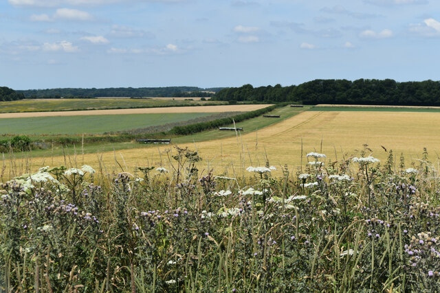
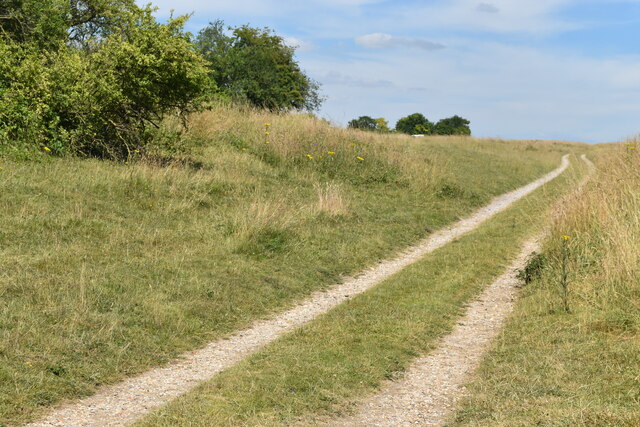
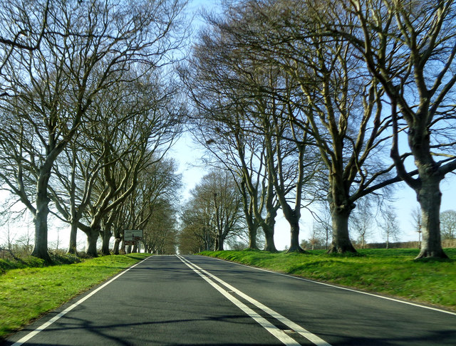
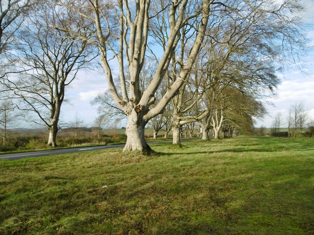
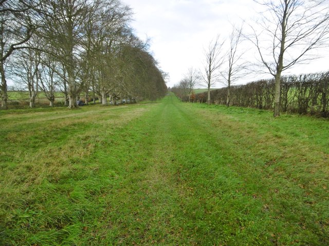
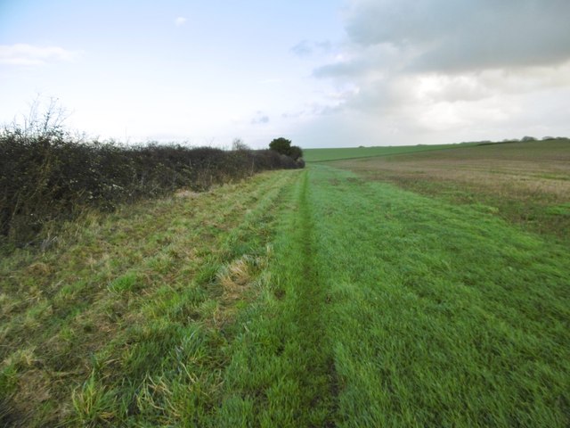
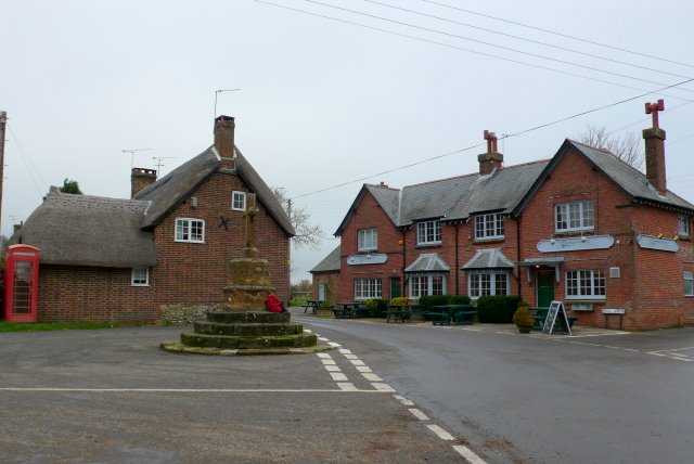
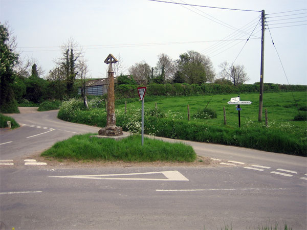
The village of Shapwick itself is characterized by its picturesque and quintessentially English charm. It is nestled amongst rolling green hills and surrounded by beautiful countryside, offering residents and visitors alike a tranquil and idyllic setting. The village is predominantly made up of traditional stone-built houses, many of which date back several centuries, giving it a distinct historical feel.

Shapwick boasts a rich history, with evidence of human habitation in the area dating back to the prehistoric era. The village is particularly renowned for its connections to the Roman period, with numerous Roman artifacts and structures having been discovered in the vicinity. The nearby Shapwick Heath National Nature Reserve is also of great archaeological importance and attracts visitors interested in the area's past.

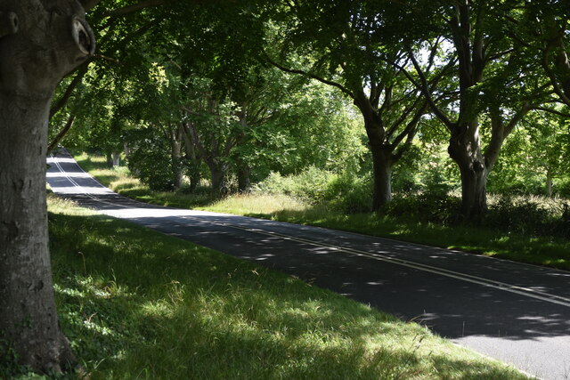
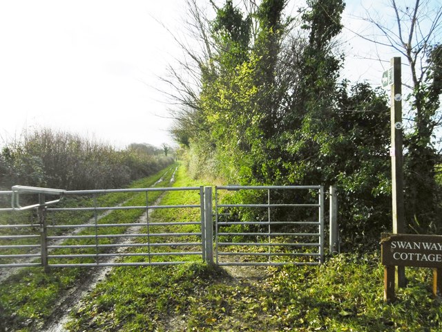
The parish is well-served by local amenities, including a village hall, a primary school, and a parish church. It also benefits from excellent transport links, with the A354 road passing through the village, providing easy access to nearby towns and cities.

Overall, Shapwick, Dorset is a charming and historically significant civil parish that offers residents and visitors a peaceful and scenic environment to enjoy.

If you have any feedback on the listing, please let us know in the comments section below.

Shapwick Images

Images are sourced within 2km of 50.820442/-2.076572 or Grid Reference ST9402. Thanks to Geograph Open Source API. All images are credited.

Farmland view from Badbury Rings NT car park With the point to point course receding into the distance.
Farmland view from Badbury Rings NT car park
With the point to point course receding into the distance.
Bridleway on course of Roman Road at Badbury Rings
Topograph stone at Badbury Rings The woodland appears to have grown up and obscured views of local landmarks presumably visible when this was installed.
Topograph stone at Badbury Rings
The woodland appears to have grown up and obscured views of local landmarks presumably visible when this was installed.
B3082 Blandford Road through avenue of trees near Badbury Rings
On the Iron Age earthworks at Badbury Rings
View over the earthworks at Badbury Rings The National Trust car park is just visible to the left of the small copse.
View over the earthworks at Badbury Rings
The National Trust car park is just visible to the left of the small copse.
White Mill and surroundings [8] The River Stour, looking upstream from the grounds of the mill.
White Mill is a restored 18th century mill on the banks of the River Stour at Sturminster Marshall in Dorset, some 3½ miles west of Wimborne Minster. Built in the 18th century of red brick under a tile roof.  Originally a double mill, a corn mill and a fulling mill, with two water wheels, neither of which have survived. Much of the original machinery made from elm and applewood remains in situ. The mill and the adjoining Mill House are listed, grade II, with details at: <span class="nowrap"><a title="https://historicengland.org.uk/listing/the-list/list-entry/1120206" rel="nofollow ugc noopener" href="https://historicengland.org.uk/listing/the-list/list-entry/1120206">Link</a><img style="margin-left:2px;" alt="External link" title="External link - shift click to open in new window" src="https://s1.geograph.org.uk/img/external.png" width="10" height="10"/></span>
White Mill and surroundings [8]
The River Stour, looking upstream from the grounds of the mill. White Mill is a restored 18th century mill on the banks of the River Stour at Sturminster Marshall in Dorset, some 3½ miles west of Wimborne Minster. Built in the 18th century of red brick under a tile roof. Originally a double mill, a corn mill and a fulling mill, with two water wheels, neither of which have survived. Much of the original machinery made from elm and applewood remains in situ. The mill and the adjoining Mill House are listed, grade II, with details at: LinkExternal link
St Mary's Church
St Mary's Church
Beech Avenue The last two trees at the north-west end of the avenue of beech trees near Badbury Rings.
Beech Avenue
The last two trees at the north-west end of the avenue of beech trees near Badbury Rings.
Turn for Sturminster Marshall Blandford Road, amongst the avenue of beech trees, near Badbury Rings.
Turn for Sturminster Marshall
Blandford Road, amongst the avenue of beech trees, near Badbury Rings.
The B3082 near Badbury Rings Approaching the turn for Shapwick (left) or Badbury Rings car park (right) on the B3082 between Wimborne and Blandford.
The B3082 near Badbury Rings
Approaching the turn for Shapwick (left) or Badbury Rings car park (right) on the B3082 between Wimborne and Blandford.
Shapwick, beech avenue A few of the once 731 beeches lining the approach to Kingston Lacy; 366 on one side, and 365 on the other. Planted by William Bankes for his mother in 1835.
Shapwick, beech avenue
A few of the once 731 beeches lining the approach to Kingston Lacy; 366 on one side, and 365 on the other. Planted by William Bankes for his mother in 1835.
Shapwick, track Parallel to Blandford Road (left, behind the beech avenue), and servicing farmland to the right. Also to the right, young beech trees, planted by the National Trust as successors to the current avenue.
Shapwick, track
Parallel to Blandford Road (left, behind the beech avenue), and servicing farmland to the right. Also to the right, young beech trees, planted by the National Trust as successors to the current avenue.
Shapwick, oil-seed rape Some plants are already flowering - perhaps an indicator of recent mild weather.
Shapwick, oil-seed rape
Some plants are already flowering - perhaps an indicator of recent mild weather.
Shapwick, signpost At the northern end of the bridleway and farm road to Swanway Cottage and Shapwick.
Shapwick, signpost
At the northern end of the bridleway and farm road to Swanway Cottage and Shapwick.
Shapwick, Swan Way Bridleway and farm track from Blandford Road to Shapwick.
Shapwick, Swan Way
Bridleway and farm track from Blandford Road to Shapwick.
Shapwick, Swanway Cottage Part of the Kingston Lacy Estate; on the bridleway from Blandford Road to Shapwick.
Shapwick, Swanway Cottage
Part of the Kingston Lacy Estate; on the bridleway from Blandford Road to Shapwick.
Shapwick, bridleway Along a field boundary, from Tarrant Crawford to Blandford Road.
Shapwick, bridleway
Along a field boundary, from Tarrant Crawford to Blandford Road.
Show me another place!

Shapwick is located at Grid Ref: ST9402 (Lat: 50.820442, Lng: -2.076572)

Administrative County: Dorset

District: East Dorset

Police Authority: Dorset

What 3 Words

///grower.delivers.publisher. Near Sturminster Marshall, Dorset

Nearby Locations

Swan Way Copse Shapwick

Related Wikis

Shapwick, Dorset

Shapwick is a village and civil parish in east Dorset, England, situated on the River Stour five miles south-east of Blandford Forum and eight miles north...

Badbury Rings

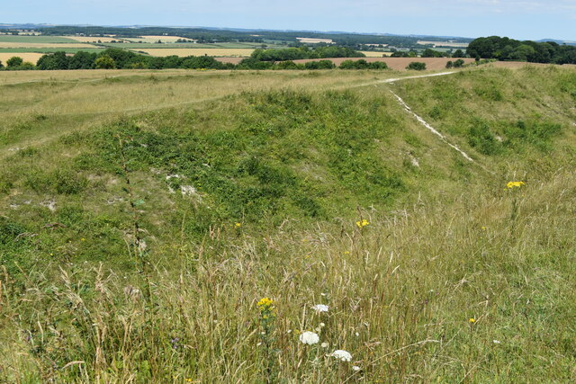
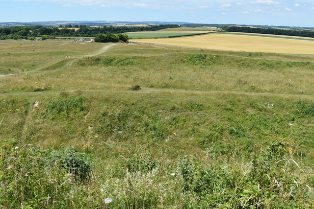
Badbury Rings is an Iron Age hill fort and Scheduled Monument in east Dorset, England. It was in the territory of the Durotriges. In the Roman era a temple...

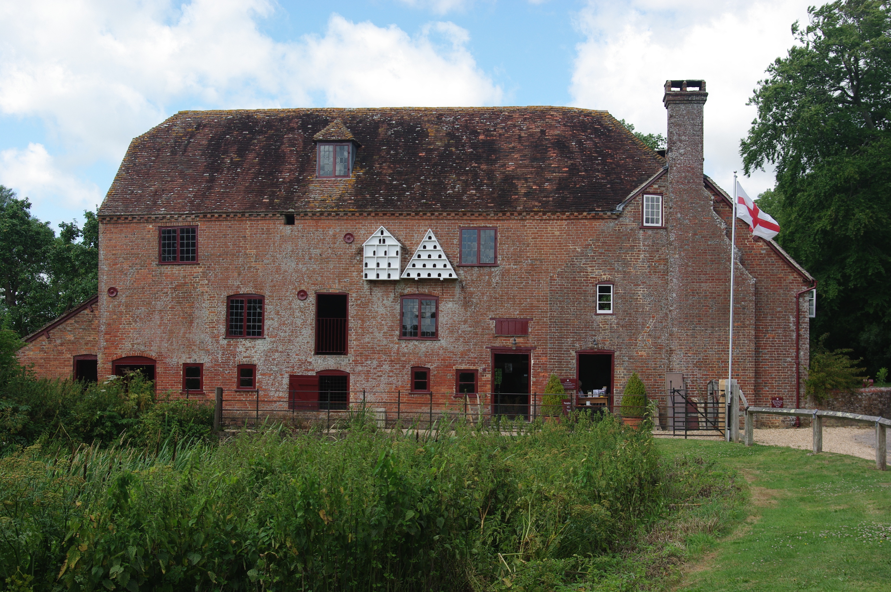
White Mill, Sturminster Marshall

White Mill is an 18th-century water powered corn mill near Sturminster Marshall in Dorset on the River Stour which is in the care of the National Trust...

River Winterborne

There are two River Winterbornes in Dorset, England.The rivers only flow overground during the winter, hence the name. They both flow through a number...

Sturminster Marshall

Sturminster Marshall is a village and civil parish in the east of Dorset in England, situated on the River Stour between Blandford Forum and Poole. The...

St Mary the Virgin, Tarrant Crawford

The Church of St Mary the Virgin in Tarrant Crawford, Dorset, England, was built in the 12th century. It is recorded in the National Heritage List for...

Tarrant Keyneston

Tarrant Keyneston is a village and civil parish in Dorset, England. It is situated in the Tarrant Valley, five miles (eight kilometres) southeast of Blandford...

Tarrant Crawford

Tarrant Crawford is a small village and civil parish at the lower end of the Tarrant Valley in Dorset, England. The River Tarrant joins the larger River...

Nearby Amenities

Located within 500m of 50.820442,-2.076572
Barrier: stile
Lat/Long: 50.8199415/-2.0827241
Vindocladia Roman Fort
Historic: archaeological_site
Lat/Long: 50.8197533/-2.0755835
Vindocladia Roman Town
Historic: archaeological_site
Lat/Long: 50.8196719/-2.0804115
Material: wood
Power: pole
Source: survey
Transformer: distribution
Lat/Long: 50.8177865/-2.0819789
Power: pole
Source: bing
Lat/Long: 50.8218042/-2.0701383
Power: pole
Source: bing
Lat/Long: 50.8212281/-2.0711294
Power: pole
Source: bing
Lat/Long: 50.8206511/-2.0721822
Power: pole
Source: bing
Lat/Long: 50.8200606/-2.073306
Power: pole
Source: bing
Lat/Long: 50.8195344/-2.0742327
Power: pole
Source: bing
Lat/Long: 50.8190125/-2.0751795
Power: pole
Source: bing
Lat/Long: 50.8187982/-2.0755523
Power: pole
Source: bing
Lat/Long: 50.818466/-2.0761625
Power: pole
Source: bing
Lat/Long: 50.8179348/-2.077155
Power: pole
Source: bing
Lat/Long: 50.8170265/-2.0789507
Power: pole
Source: bing
Lat/Long: 50.816652/-2.0797862
Fire Hydrant
Emergency: fire_hydrant
Fire Hydrant Diameter: 3 inch
Fire Hydrant Type: underground
Ref: 10808
Source: survey
Lat/Long: 50.818009/-2.082042
Colour: green
Man Made: street_cabinet
Manufacturer: Huawei
Operator: BT OpenReach
Ref: 5
Street Cabinet: telecom
Lat/Long: 50.817878/-2.0819226
Note: Sign: PRIORY FARM CL
Lat/Long: 50.8178856/-2.0819789
The data included in this document is from www.openstreetmap.org. The data is made available under ODbL.

Have you been to Shapwick?

Leave your review of Shapwick below (or comments, questions and feedback).