Saredon
Civil Parish in Staffordshire South Staffordshire
England
Saredon

Saredon is a civil parish located in the county of Staffordshire, England. It is situated approximately 6 miles north-west of the town of Wolverhampton and 4 miles south-west of Cannock. The parish covers an area of around 4.5 square miles and is home to a population of around 500 people.
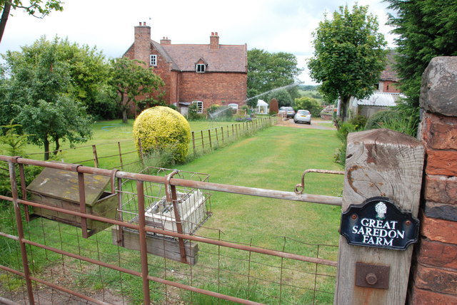
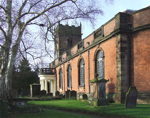
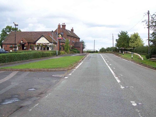
Saredon is primarily a rural area, characterized by its picturesque landscapes and countryside. The parish is surrounded by farmland, with small hamlets and scattered houses dotting the area. The village of Saredon itself is a small settlement, with a few local amenities such as a village hall and a church.
The area has a rich history, with evidence of human settlement dating back to the ancient Roman times. In fact, the remains of a Roman road have been discovered in the vicinity of Saredon. The area also played a role in the industrial revolution, with coal mining being a significant industry in the past.
Today, Saredon is known for its tranquility and natural beauty. It attracts visitors who enjoy hiking and exploring the countryside. The parish is also within close proximity to several attractions, including the Cannock Chase Area of Outstanding Natural Beauty and the National Trust's Shugborough Estate.
In summary, Saredon is a small rural parish in Staffordshire, England, known for its scenic landscapes, historic significance, and peaceful atmosphere.
If you have any feedback on the listing, please let us know in the comments section below.
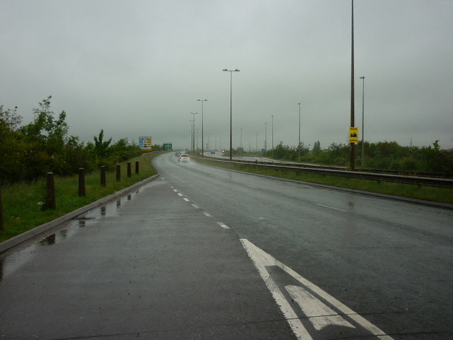
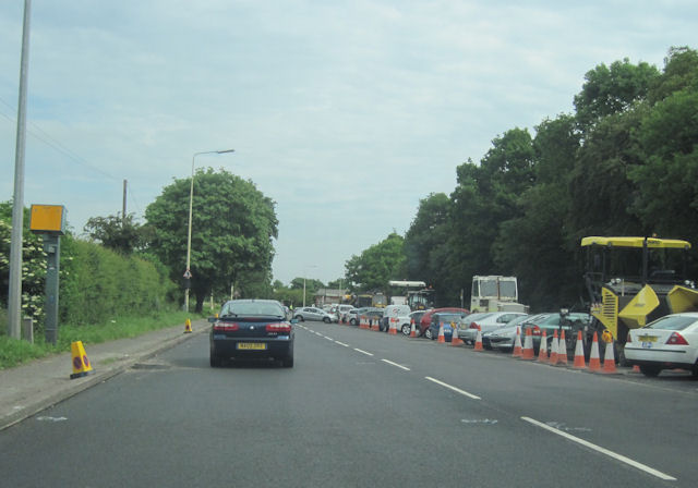
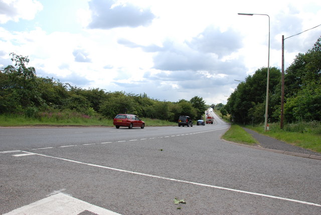
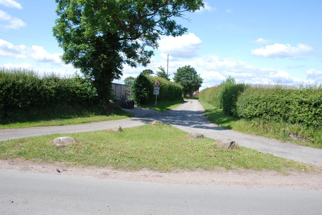
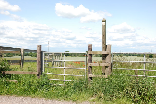
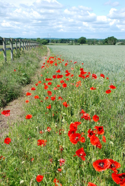
Saredon Images
Images are sourced within 2km of 52.665008/-2.068429 or Grid Reference SJ9507. Thanks to Geograph Open Source API. All images are credited.


Saredon is located at Grid Ref: SJ9507 (Lat: 52.665008, Lng: -2.068429)
Administrative County: Staffordshire
District: South Staffordshire
Police Authority: Staffordshire
What 3 Words
///birds.microchip.presented. Near Featherstone, Staffordshire
Nearby Locations
Related Wikis

Saredon
Saredon is a civil parish in South Staffordshire district, Staffordshire, England, situated to the north east of Wolverhampton, West Midlands, and to the...
Shareshill
Shareshill is a village and civil parish in the South Staffordshire district, in the county of Staffordshire, England. The population as measured in the...
Wedges Mills
Wedges Mills is a small village in the South Staffordshire District in Staffordshire, England, close to the border with Cannock Chase District. The area...
Cheslyn Hay Academy
Cheslyn Hay Academy (formerly Cheslyn Hay Sport and Community High School) is a mixed secondary school and sixth form located in Cheslyn Hay in the English...
Nearby Amenities
Located within 500m of 52.665008,-2.068429Have you been to Saredon?
Leave your review of Saredon below (or comments, questions and feedback).