Bryant's Bottom
Settlement in Buckinghamshire
England
Bryant's Bottom
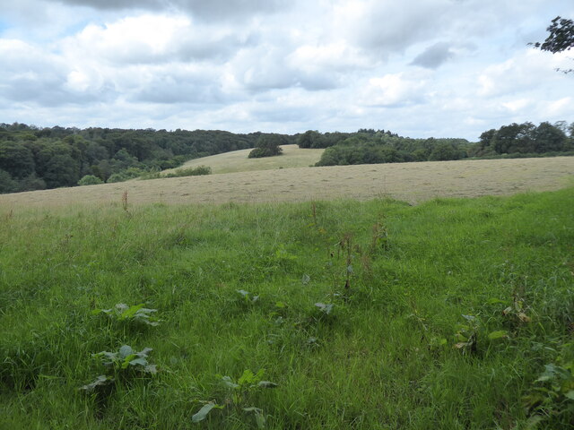
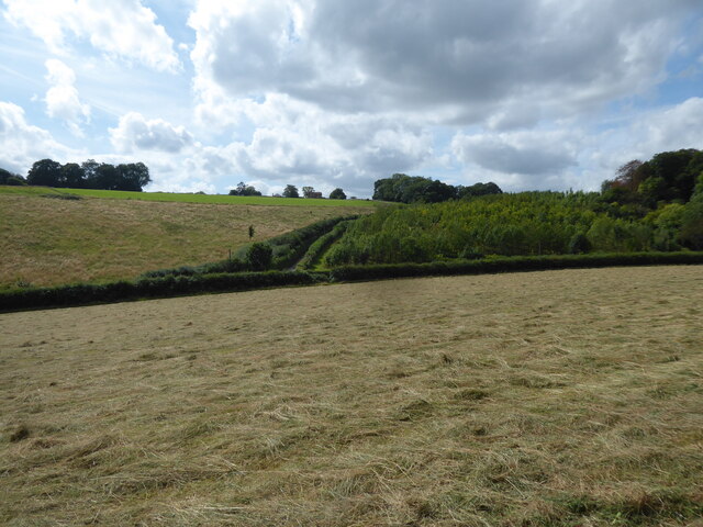
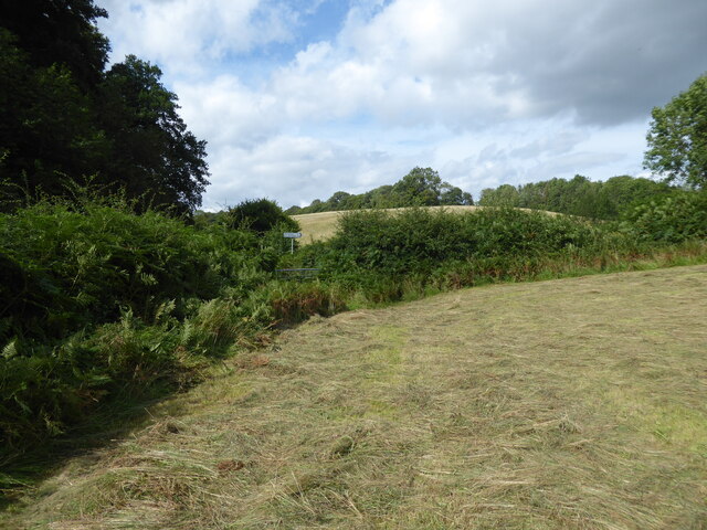
Bryant's Bottom is a small village located in the county of Buckinghamshire, England. Situated in the Chiltern Hills, it is nestled within a picturesque valley surrounded by rolling green hills and woodland. The village is part of the larger civil parish of Great Missenden and lies approximately four miles southeast of the town of Princes Risborough.
Bryant's Bottom is known for its tranquil and rural atmosphere, making it an ideal destination for nature enthusiasts and those seeking a peaceful retreat. The village is characterized by a collection of charming cottages and houses, many of which date back several centuries, lending a sense of history and traditional charm to the area.
Despite its small size, Bryant's Bottom boasts a strong sense of community, with a close-knit population that actively participates in local events and initiatives. The village is served by a community hall, which acts as a hub for various social gatherings and activities, reinforcing the community spirit.
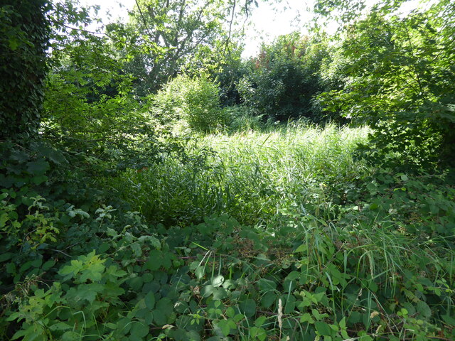
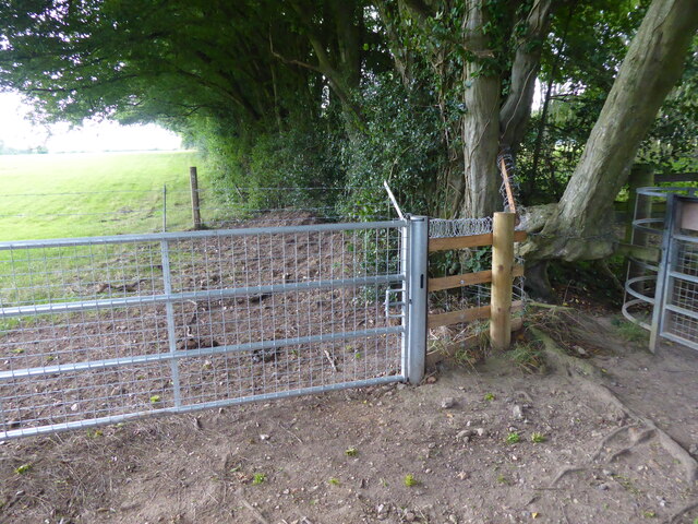
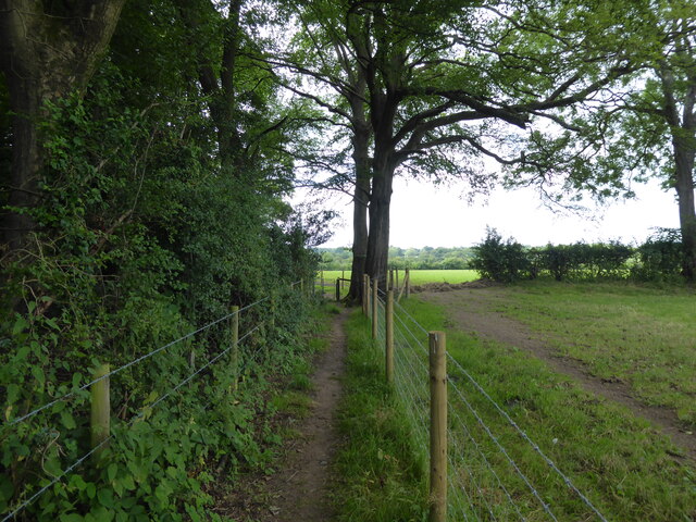
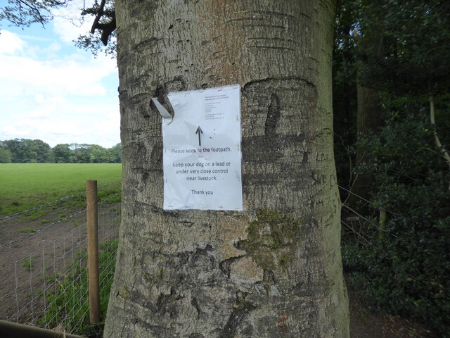
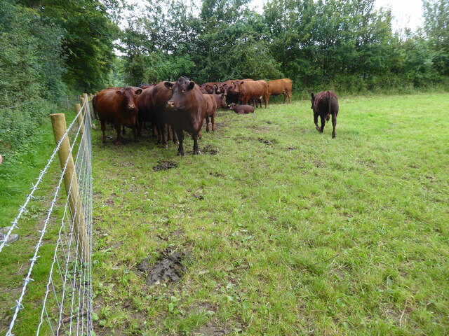
The surrounding countryside offers ample opportunities for outdoor pursuits, including walking, cycling, and horseback riding. The nearby Chiltern Hills provide stunning panoramic views and an extensive network of footpaths and trails, making it a popular destination for hikers and nature lovers.
While Bryant's Bottom may lack major amenities and commercial establishments, it benefits from its proximity to nearby towns and villages, where residents can access a wider range of services and facilities. Overall, Bryant's Bottom offers a peaceful and idyllic setting, making it an appealing place for those seeking a rural lifestyle amidst the natural beauty of Buckinghamshire.
If you have any feedback on the listing, please let us know in the comments section below.
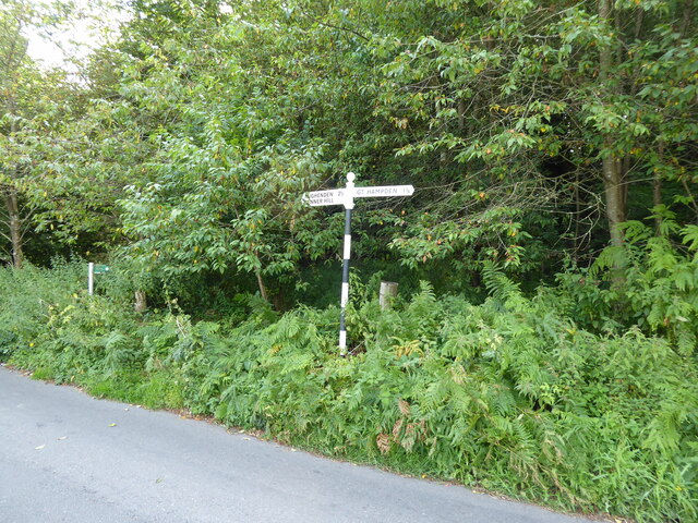
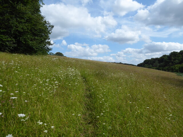
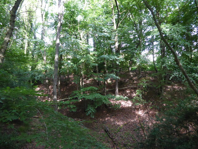
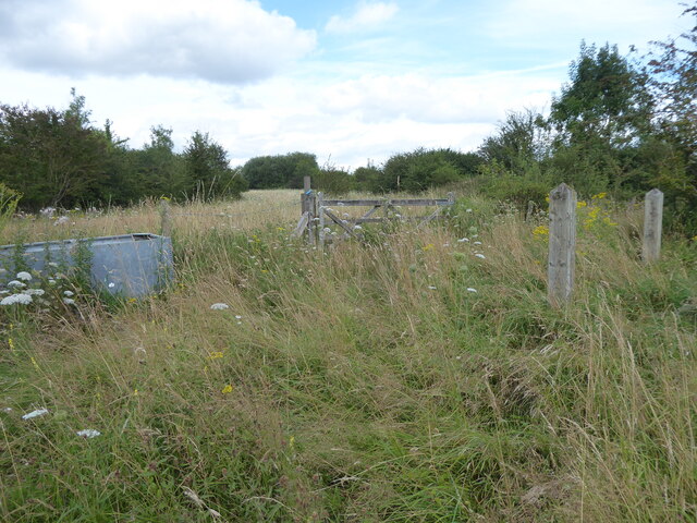
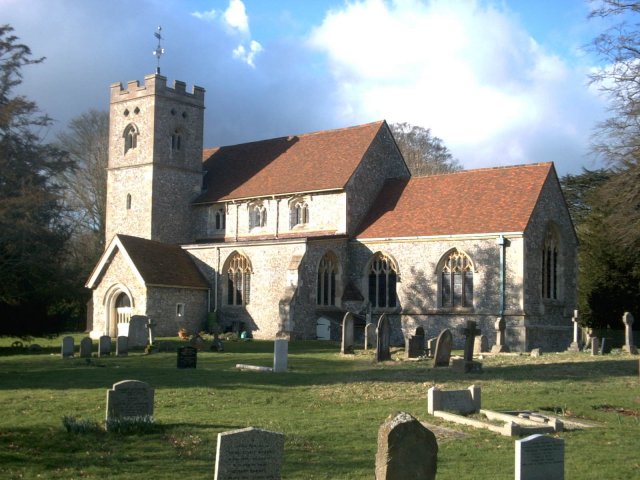
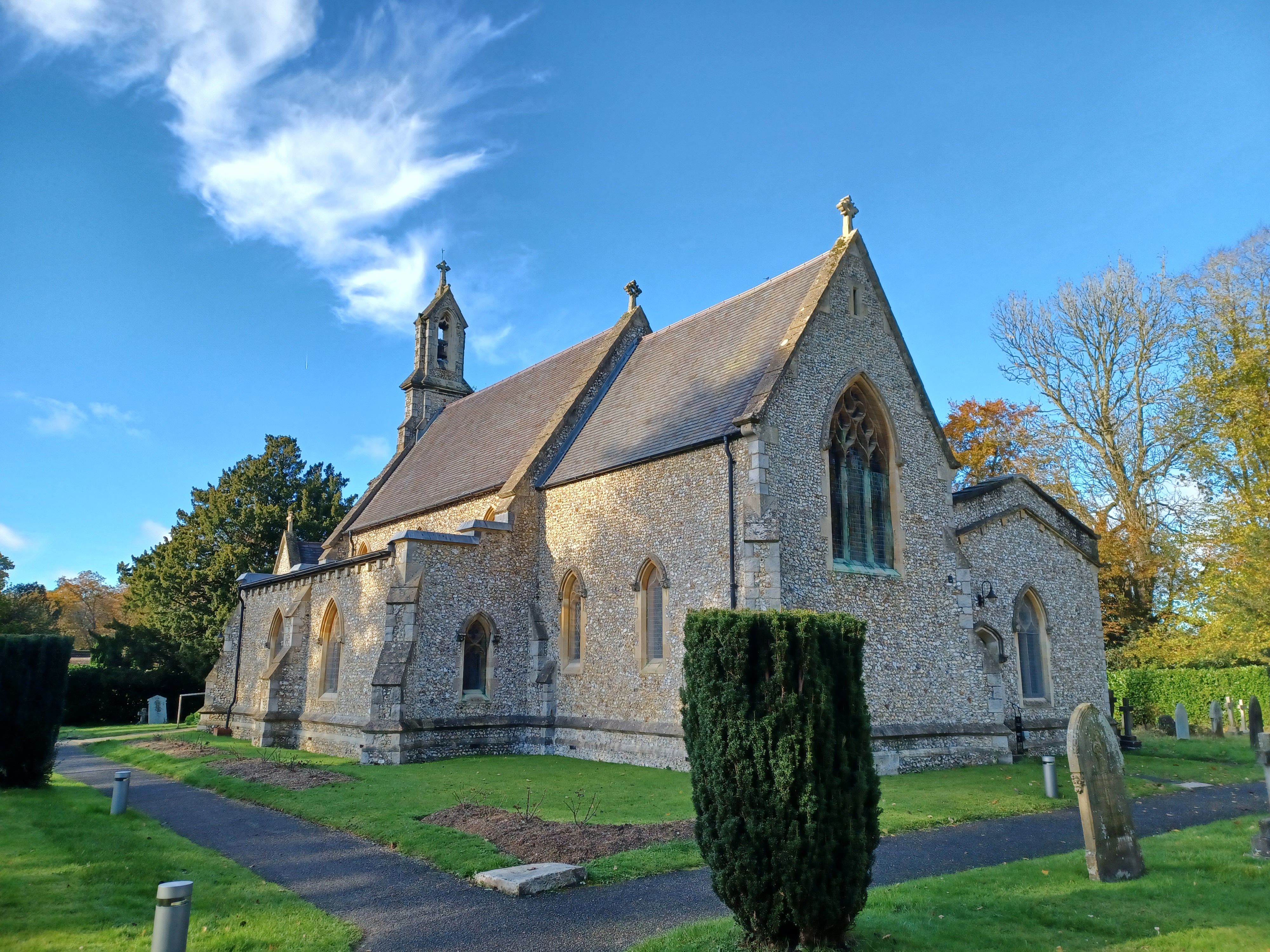
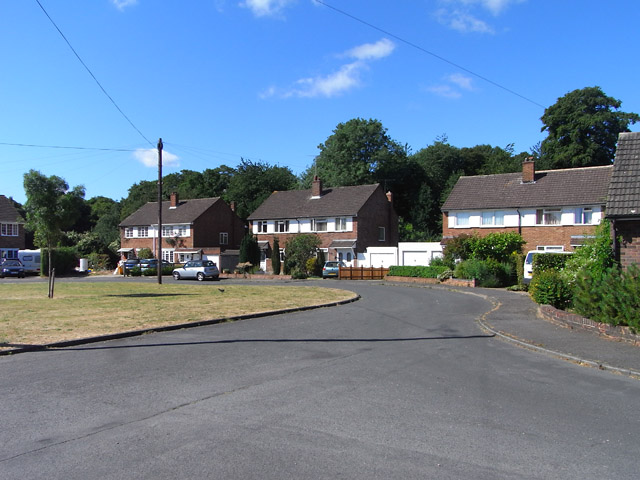
Bryant's Bottom Images
Images are sourced within 2km of 51.690538/-0.768528 or Grid Reference SU8599. Thanks to Geograph Open Source API. All images are credited.


Bryant's Bottom is located at Grid Ref: SU8599 (Lat: 51.690538, Lng: -0.768528)
Unitary Authority: Buckinghamshire
Police Authority: Thames Valley
What 3 Words
///anchorman.drizzly.tuck. Near Great Missenden, Buckinghamshire
Nearby Locations
Related Wikis

Speen, Buckinghamshire
Speen is a village in the Chiltern Hills, an Area of Outstanding Natural Beauty, situated in the civil parish of Lacey Green, in Buckinghamshire, England...

Hampden Row
Hampden Row is a historic hamlet in the Chiltern Hills of Buckinghamshire, England. It is located in Great Hampden parish. At the 2011 Census the population...

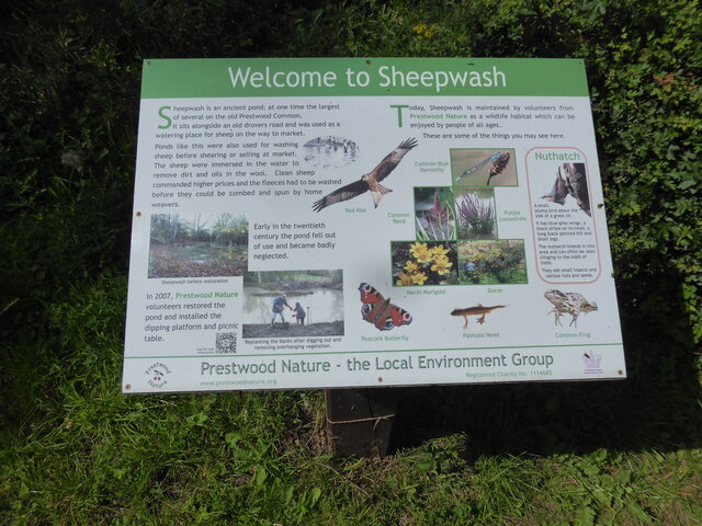
Prestwood Local Nature Reserve
Prestwood Local Nature Reserve or Prestwood (Picnic Site) is a 2.1 hectares (5.2 acres) Local Nature Reserve in Prestwood in Buckinghamshire. It is in...

Prestwood F.C.
Prestwood F.C. are a football club based in Prestwood, near High Wycombe, England. They currently play in the Aylesbury & District League Premier Division...
Great and Little Hampden
Great and Little Hampden is a civil parish in Buckinghamshire, England, about three miles south-east of Princes Risborough. It incorporates the villages...
Holy Trinity Church, Prestwood
Holy Trinity Church, Prestwood is the Church of England church serving the Buckinghamshire village and parish of Prestwood. The church, its lych gate and...
Walters Ash
Walters Ash (also sometimes called Walter's Ash) is a village in the parish of Bradenham, in Buckinghamshire, England. It is located in the Chiltern Hills...

RAF High Wycombe
Royal Air Force High Wycombe or more simply RAF High Wycombe is a Royal Air Force station, situated in the village of Walters Ash, near High Wycombe in...
Nearby Amenities
Located within 500m of 51.690538,-0.768528Have you been to Bryant's Bottom?
Leave your review of Bryant's Bottom below (or comments, questions and feedback).