Brwymant

Settlement in Pembrokeshire

Wales

Brwymant

Track to Clegyrn farm
Track to Clegyrn farm Credit: Eirian Evans

Brwymant is a small village located in the county of Pembrokeshire, Wales. Situated in a rural setting, Brwymant is surrounded by lush green countryside and rolling hills, making it a picturesque and tranquil place to live or visit.

The village is home to a close-knit community of residents who take pride in their surroundings and work together to maintain the village's charm and character. Brwymant has a rich history, with several historic buildings and landmarks scattered throughout the area, offering visitors a glimpse into the village's past.

Despite its small size, Brwymant offers a range of amenities for residents and visitors, including a local pub, shops, and a community center. The village is also well-connected to nearby towns and cities, making it easy to access larger services and facilities.

Overall, Brwymant is a peaceful and charming village that offers a quiet escape from the hustle and bustle of city life, making it an ideal destination for those seeking a serene and idyllic setting in the heart of Pembrokeshire.

If you have any feedback on the listing, please let us know in the comments section below.
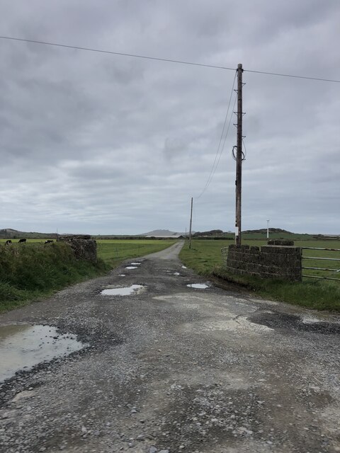
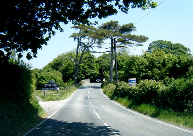
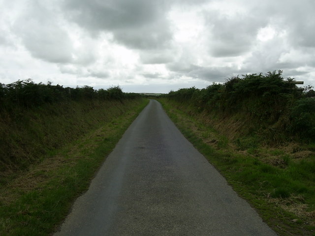
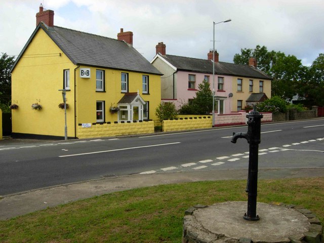
Brwymant Images

Images are sourced within 2km of 51.978208/-5.018308 or Grid Reference SM9235. Thanks to Geograph Open Source API. All images are credited.

Track to Clegyrn farm
Houses at Panteg on the A487
Beware of bicycles at the junction
At the junction of the A487 and the A4219
The A487 bridge over the railway line
A40 in Scleddau
A40 in Scleddau
A487 at Manorowen
A487 at Manorowen
Maenhir Rhos-y-Clegyrn/ Rhos-y-Clegyrn Standing Stone Llwybr troed cyhoeddus yn mynd heibio i faenhir Rhos-y-Clegyrn sy'n dyddio o'r Oes Efydd.  Yn ol y gwybodusion roedd y carreg ar un tro yn un o bâr.

A public footpath passes Rhos-y-Clegyrn Bronze Age Standing Stone. According to archaeologists the stone was formerly one of a pair.
Maenhir Rhos-y-Clegyrn/ Rhos-y-Clegyrn Standing Stone
Llwybr troed cyhoeddus yn mynd heibio i faenhir Rhos-y-Clegyrn sy'n dyddio o'r Oes Efydd. Yn ol y gwybodusion roedd y carreg ar un tro yn un o bâr. A public footpath passes Rhos-y-Clegyrn Bronze Age Standing Stone. According to archaeologists the stone was formerly one of a pair.
Country road near Trefelgarn This short stretch of road near the entrance to Trefelgarn is just within the relevant grid square, and runs on towards the bend into the next square.
Country road near Trefelgarn
This short stretch of road near the entrance to Trefelgarn is just within the relevant grid square, and runs on towards the bend into the next square.
Bridge across a railway line which never was The story - as told to ceridwen <a title="https://www.geograph.org.uk/profile/6699" href="https://www.geograph.org.uk/profile/6699">Link</a> by the local historian Roy Lewis - is that early in the 20th century the GWR started work on a new approach route to its terminus at Fishguard harbour, along an alignment with easier gradients.  Work on the new route was at an advanced stage when war intervened in 1914.  From what ceridwen was able to show me I would guess that all of the basic engineering was complete, and little remained to be done other than laying the track and installing signalling.

For whatever reason the project was not proceeded with post-war.  Perhaps the reason was shortage of manpower, perhaps it was that the modern locomotive stud introduced by GJ Churchward coped better with the gradients of the existing route.

I have to thank ceridwen for alerting me to the existence of this line, and for navigating to this rather out of the way spot.
Bridge across a railway line which never was
The story - as told to ceridwen Link by the local historian Roy Lewis - is that early in the 20th century the GWR started work on a new approach route to its terminus at Fishguard harbour, along an alignment with easier gradients. Work on the new route was at an advanced stage when war intervened in 1914. From what ceridwen was able to show me I would guess that all of the basic engineering was complete, and little remained to be done other than laying the track and installing signalling. For whatever reason the project was not proceeded with post-war. Perhaps the reason was shortage of manpower, perhaps it was that the modern locomotive stud introduced by GJ Churchward coped better with the gradients of the existing route. I have to thank ceridwen for alerting me to the existence of this line, and for navigating to this rather out of the way spot.
A487 at Panteg village boundary
A487 near Brwynant
A487 near Brwynant
A4219 railway bridge near Cnwc-sandy
A4219 looking south
A4219 looking south
A4219 at A40 junction
St Mary's Parish Church, Manorowen
Carn-llŷs Holiday cottages in a great location, though spoilt somewhat by several of the footpaths being completely impassable and others being unmarked.
Carn-llŷs
Holiday cottages in a great location, though spoilt somewhat by several of the footpaths being completely impassable and others being unmarked.
Ordnance Survey Flush Bracket (S7817) This covered OS Flush Bracket can be found on Cwmdwr, the Old Post Office building. It marked a point 95.434m above mean sea level.
Ordnance Survey Flush Bracket (S7817)
This covered OS Flush Bracket can be found on Cwmdwr, the Old Post Office building. It marked a point 95.434m above mean sea level.
Show me another place!

Brwymant is located at Grid Ref: SM9235 (Lat: 51.978208, Lng: -5.018308)

Unitary Authority: Pembrokeshire

Police Authority: Dyfed Powys

What 3 Words

///rosier.jeering.waistcoat. Near Scleddau, Pembrokeshire

Related Wikis

Manorowen

Manorowen is a small settlement and parish on the A487 2 miles (3.2 km) southwest of Fishguard, Pembrokeshire, West Wales, in the Community of Scleddau...

Scleddau

Scleddau is a village and a community in the county of Pembrokeshire, Wales, and is 2 miles (3.2 km) south of Fishguard on the main A40 road. The Western...

Jordanston Halt railway station

Jordanston Halt railway station was an intermediate stop on the Great Western Railway's line to Fishguard Harbour. It served the hamlet of Jordanston,...

Ysgol Bro Gwaun

Ysgol Bro Gwaun (formerly Fishguard County Secondary School) is a secondary comprehensive school in the town of Fishguard in north Pembrokeshire. It is...

Nearby Amenities

Located within 500m of 51.978208,-5.018308
Power: pole
Lat/Long: 51.9738355/-5.019732
Power: pole
Lat/Long: 51.9744498/-5.0204091
Power: pole
Lat/Long: 51.9749465/-5.0209237
The data included in this document is from www.openstreetmap.org. The data is made available under ODbL.

Have you been to Brwymant?

Leave your review of Brwymant below (or comments, questions and feedback).