Saddleworth
Civil Parish in Yorkshire Oldham
England
Saddleworth
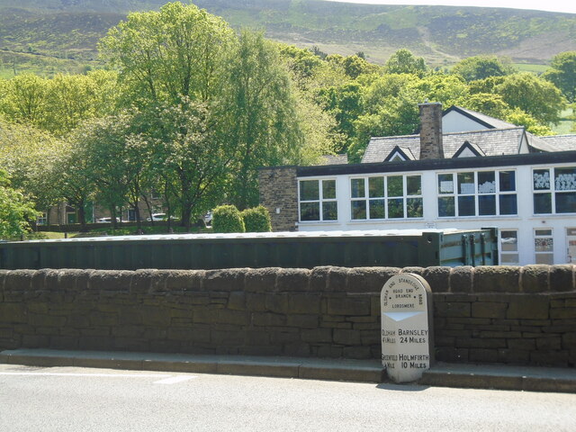
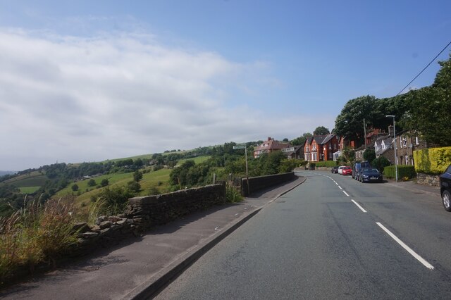
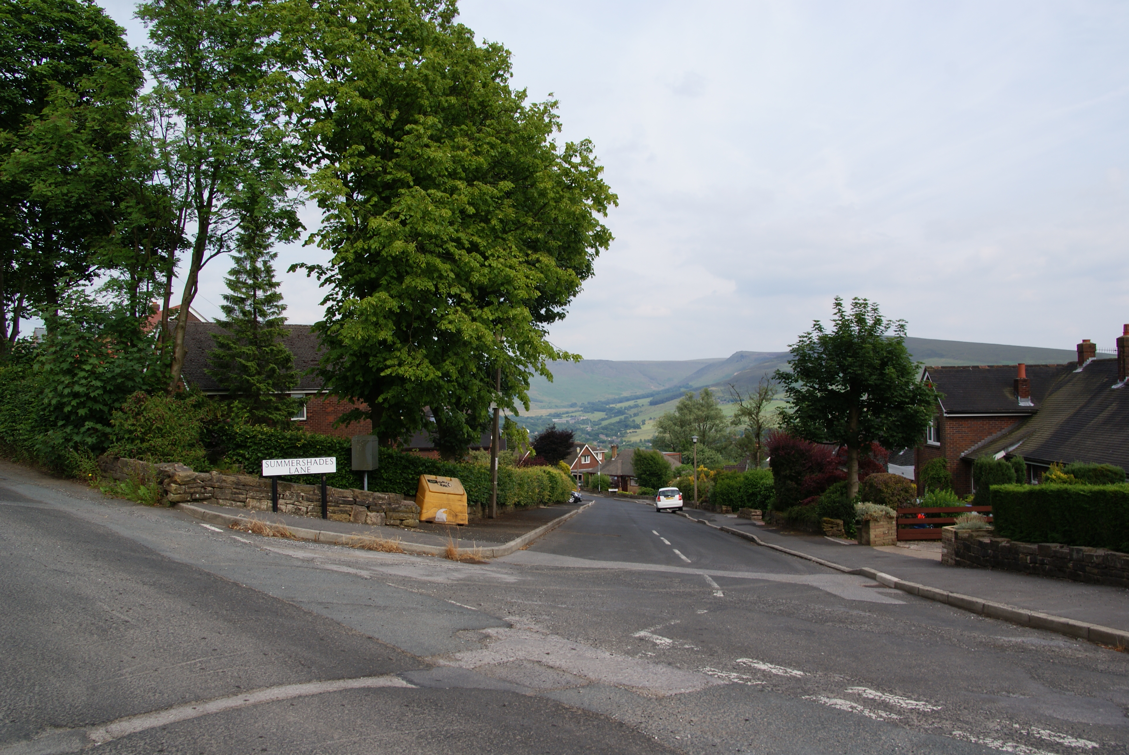
Saddleworth is a civil parish located in the historic county of Yorkshire, England. Situated amidst the scenic Pennines, it spans an area of approximately 44 square miles and is known for its picturesque landscapes, charming villages, and rich cultural heritage.
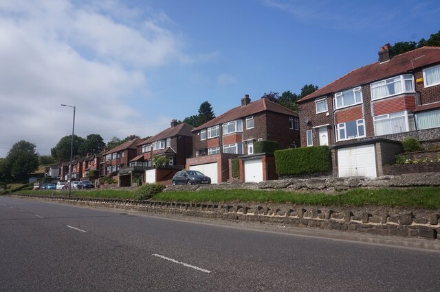
The parish comprises seven main villages: Delph, Denshaw, Diggle, Dobcross, Greenfield, Uppermill, and Austerlands. Each village has its own distinctive character, with a mix of traditional stone-built houses and modern developments. These villages are surrounded by rolling hills, open moorland, and lush valleys, offering breathtaking views and ample opportunities for outdoor activities such as hiking, cycling, and horseback riding.
Saddleworth is renowned for its strong sense of community and vibrant local culture. The area hosts various annual events and festivals, including the popular Saddleworth Rushcart Festival and the Yanks Weekend, which celebrate the region's heritage and attract visitors from near and far. The villages also boast charming pubs, independent shops, and a range of eateries serving both traditional and contemporary cuisine.
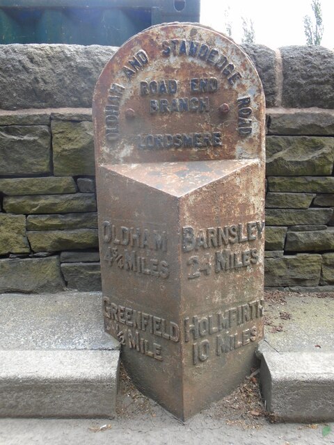
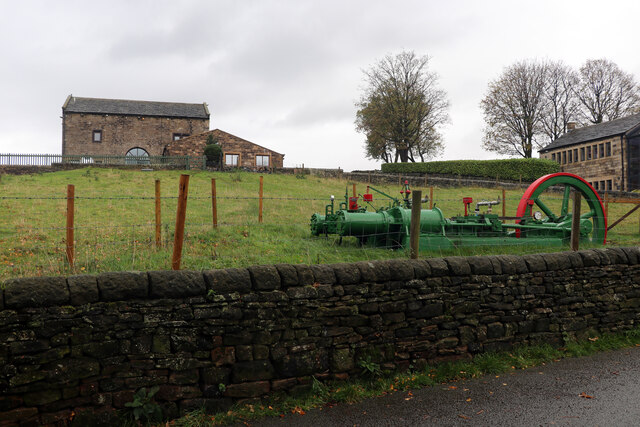
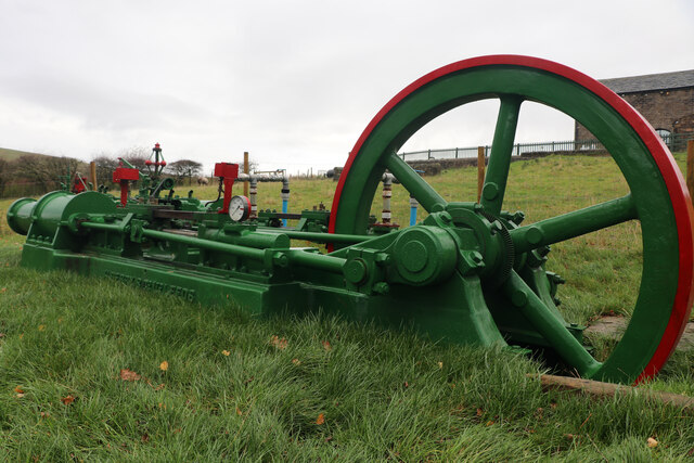
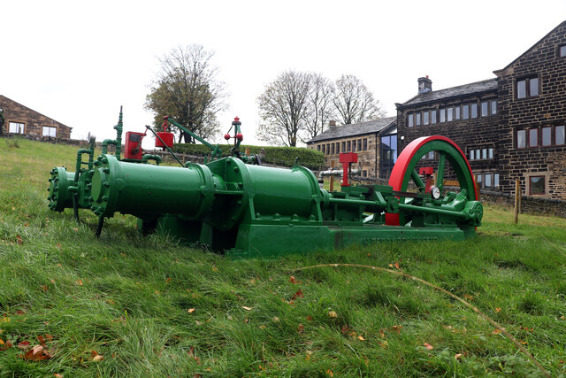
Historically, Saddleworth was known for its textile industry, particularly wool production. The remnants of this industry can still be seen in the numerous converted mills that dot the landscape. Today, the area has a diverse economy, with sectors such as tourism, agriculture, and small-scale businesses contributing to its vitality.
Overall, Saddleworth offers a unique blend of natural beauty, cultural richness, and community spirit, making it a sought-after destination for visitors and a cherished home for its residents.
If you have any feedback on the listing, please let us know in the comments section below.
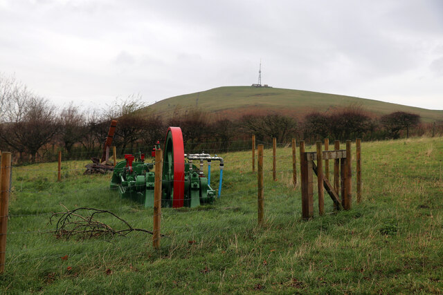
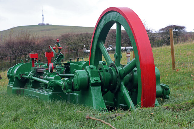
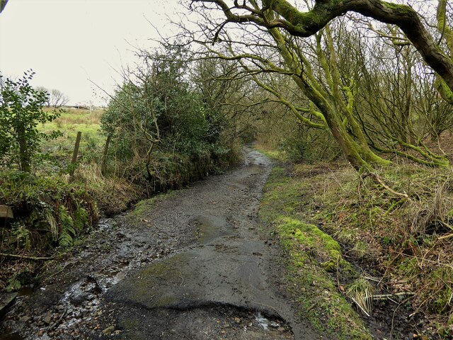
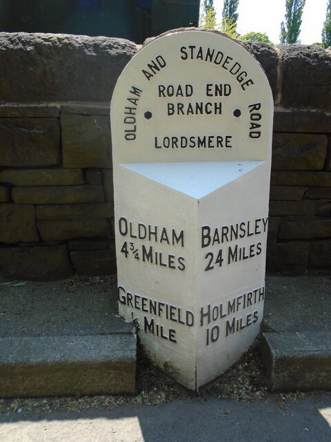
Saddleworth Images
Images are sourced within 2km of 53.539846/-2.020413 or Grid Reference SD9804. Thanks to Geograph Open Source API. All images are credited.


Saddleworth is located at Grid Ref: SD9804 (Lat: 53.539846, Lng: -2.020413)
Division: West Riding
Administrative County: Greater Manchester
District: Oldham
Police Authority: Greater Manchester
What 3 Words
///shaped.impeached.surprise. Near Mossley, Manchester
Nearby Locations
Related Wikis

Greenfield railway station
Greenfield railway station in the village of Greenfield, Greater Manchester, England, is on the Huddersfield Line 12 miles (20 km) northeast of Manchester...
Grasscroft
Grasscroft is a village in the civil parish of Saddleworth in the Metropolitan Borough of Oldham, in Greater Manchester, England. It is historically part...

Grasscroft railway station
Grasscroft railway station served the village of Grasscroft between 1912 and 1955. == History == The station opened on 1 January 1912, on the London and...
Friezland
Friezland is a village in the civil parish of Saddleworth in the Metropolitan Borough of Oldham, in Greater Manchester, England. It is situated four miles...

Friezland railway station
Friezland Railway Station served the Hamlet of Friezland in Saddleworth until closure on 1 January 1917. It was built by the London and North Western Railway...

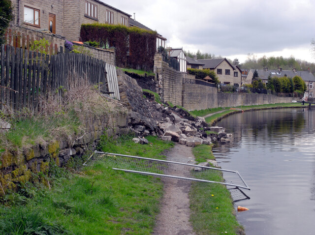
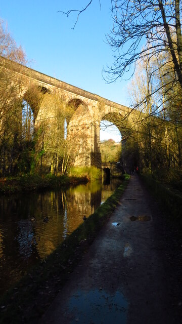
Huddersfield Narrow Canal
The Huddersfield Narrow Canal is an inland waterway in northern England. It runs just under 20 miles (32 km) from Lock 1E at the rear of the University...
Moorgate railway station (Greater Manchester)
Moorgate Halt railway station was opened on 1 January 1912 on the London and North Western Railway route from Stalybridge to Huddersfield. The station...

Saddleworth Museum
Saddleworth Museum is an independent museum in Uppermill village, Saddleworth, Metropolitan Borough of Oldham, Greater Manchester, England. It is a registered...
Nearby Amenities
Located within 500m of 53.539846,-2.020413Have you been to Saddleworth?
Leave your review of Saddleworth below (or comments, questions and feedback).