Rushall

Civil Parish in Wiltshire

England

Rushall

Water Dean Bottom, Wiltshire Pasture land on Salisbury Plain Training Area in the vicinity of Water Dean Bottom.
Water Dean Bottom, Wiltshire Credit: Rebecca A Wills

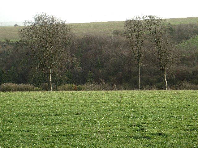
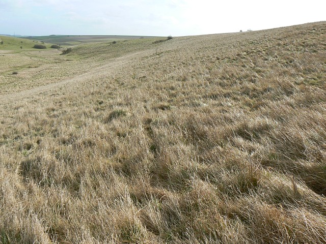
Rushall is a small civil parish located in the county of Wiltshire, England. Situated approximately 6 miles southeast of Devizes, it covers an area of about 3 square miles and has a population of around 500 residents. The village is nestled in the picturesque Pewsey Vale, surrounded by rolling hills and countryside.

The origins of Rushall can be traced back to the Domesday Book, where it was recorded as "Rocheshale", suggesting a long history of human settlement in the area. Today, the village retains its rural charm and tranquil atmosphere, with a mix of historic buildings and modern amenities.

One notable landmark is the All Saints Church, a Grade II listed building dating back to the 13th century, which serves as the spiritual center of the community. The church features beautiful stained glass windows and an impressive tower. Rushall also has a primary school, providing education for children in the local area.

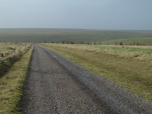
The village is surrounded by fields and farmland, making it an ideal location for those seeking a peaceful retreat from city life. Residents and visitors can enjoy scenic walks along the nearby Kennet and Avon Canal, which offers stunning views of the surrounding countryside.

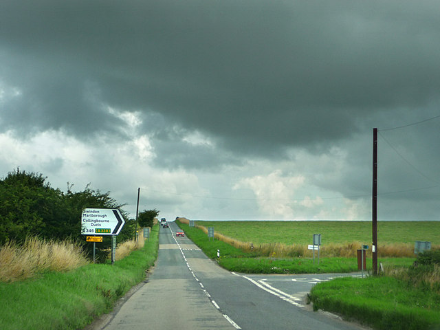
Despite its rural setting, Rushall benefits from good transport links, with the A342 road passing through the village, connecting it to nearby towns and cities. The closest railway station is Pewsey, providing easy access to larger urban areas such as Swindon and London.

Overall, Rushall offers a charming and idyllic setting for those seeking a quiet village lifestyle, with its rich history, natural beauty, and close-knit community.

If you have any feedback on the listing, please let us know in the comments section below.

Rushall Images

Images are sourced within 2km of 51.280403/-1.850972 or Grid Reference SU1053. Thanks to Geograph Open Source API. All images are credited.

Water Dean Bottom, Wiltshire Pasture land on Salisbury Plain Training Area in the vicinity of Water Dean Bottom.
Water Dean Bottom, Wiltshire
Pasture land on Salisbury Plain Training Area in the vicinity of Water Dean Bottom.
Larkhill Artillery Range
Trig point
Trig point
Flock of birds over piggery The farm with the extensive pig unit in this grid square seems to feed rather a lot more birds than it does pigs.  There were extensive numbers of rooks and, I think, starlings but I couldn't say what made up the flock shown here.  This flock in the air represents less than a quarter of those that I observed in the piggery as a whole.
Flock of birds over piggery
The farm with the extensive pig unit in this grid square seems to feed rather a lot more birds than it does pigs. There were extensive numbers of rooks and, I think, starlings but I couldn't say what made up the flock shown here. This flock in the air represents less than a quarter of those that I observed in the piggery as a whole.
Disused barn
Disused barn
Open field and trees In the slightly more sheltered ground off Salisbury Plain trees are more able to thrive
Open field and trees
In the slightly more sheltered ground off Salisbury Plain trees are more able to thrive
Larkhill Artillery Range building This building guards one of the entrances to the Larkhill Artillery Range.  In the background is the piggery that feeds the birds shown in <a href="https://www.geograph.org.uk/photo/301441">SU1054 : Flock of birds over piggery</a>
Larkhill Artillery Range building
This building guards one of the entrances to the Larkhill Artillery Range. In the background is the piggery that feeds the birds shown in SU1054 : Flock of birds over piggery
The Demolition Road This track leads to the "Demolition Area" on Larkhill Artillery Range.

To the upper right of the image the earthworks associated with the "Long Ditch" can be seen on the slope of the hill.
The Demolition Road
This track leads to the "Demolition Area" on Larkhill Artillery Range. To the upper right of the image the earthworks associated with the "Long Ditch" can be seen on the slope of the hill.
View over open fields towards Widdington Farm
Barn
Barn
That's why they call it a plain An astoundingly unexciting, indeed plain, view.  Obviously that's why it's Salisbury Plain.
That's why they call it a plain
An astoundingly unexciting, indeed plain, view. Obviously that's why it's Salisbury Plain.
View across Casterley Camp The outer bank of Casterley Camp is approximately one metre high around most of the perimeter of the hill fort.  The foreground of this image shows part of the north westerly section of the ditch and bank.  The southern and southeasterly sections of the bank can be seen at the far edge of the field that is now contained within the fort.
View across Casterley Camp
The outer bank of Casterley Camp is approximately one metre high around most of the perimeter of the hill fort. The foreground of this image shows part of the north westerly section of the ditch and bank. The southern and southeasterly sections of the bank can be seen at the far edge of the field that is now contained within the fort.
Chalky track, Widdington Crossing the dry valley below Widdington Farm.
Chalky track, Widdington
Crossing the dry valley below Widdington Farm.
Buildings, Widdington Farm The hilltop buildings. The farmhouse and further buildings are in the combe below.
Buildings, Widdington Farm
The hilltop buildings. The farmhouse and further buildings are in the combe below.
Widdington Farm Idyllically set in a secluded combe but the sound of gunfire echoes around. More barns are on the hillside to the north.
Widdington Farm
Idyllically set in a secluded combe but the sound of gunfire echoes around. More barns are on the hillside to the north.
Water Dean Bottom In the danger area, looking down the valley from the end of the byway, which is as far as you are allowed to proceed.
Water Dean Bottom
In the danger area, looking down the valley from the end of the byway, which is as far as you are allowed to proceed.
Water Dean Bottom, Salisbury Plain The very tussocky grass in the foreground didn't make for easy walking but the view compensated somewhat.
Water Dean Bottom, Salisbury Plain
The very tussocky grass in the foreground didn't make for easy walking but the view compensated somewhat.
Compton Down, Salisbury Plain Somewhat bleak up here on a blustery March day. Peaceful though.
Compton Down, Salisbury Plain
Somewhat bleak up here on a blustery March day. Peaceful though.
Show me another place!

Rushall is located at Grid Ref: SU1053 (Lat: 51.280403, Lng: -1.850972)

Unitary Authority: Wiltshire

Police Authority: Wiltshire

What 3 Words

///factored.respond.vandalism. Near Wilsford, Wiltshire

Nearby Locations

Rushall Rushall Down

Related Wikis

Casterley Camp

Casterley Camp is the site of an Iron Age univallate hillfort in Wiltshire, England, about 1+1⁄2 miles (2.4 km) south-west of the village of Upavon. The...

Charlton St Peter and Wilsford

Charlton St Peter and Wilsford Joint Parish Council is a grouped parish council serving the adjacent civil parishes of Charlton St Peter and Wilsford,...

A342 road

The A342 is an A road in England that runs from Pewsham near Chippenham, Wiltshire to Andover, Hampshire. == Route == The road begins at the A4 junction...

Charlton St Peter

Charlton St Peter or just Charlton is a small village and civil parish in the Vale of Pewsey in the English county of Wiltshire. The village lies about...

Nearby Amenities

Located within 500m of 51.280403,-1.850972
The data included in this document is from www.openstreetmap.org. The data is made available under ODbL.

Have you been to Rushall?

Leave your review of Rushall below (or comments, questions and feedback).