Brunton Park
Settlement in Northumberland
England
Brunton Park
Brunton Park is a picturesque rural village located in the county of Northumberland, England. Situated approximately 10 miles west of the market town of Morpeth, it is nestled amidst the stunning Northumberland countryside.
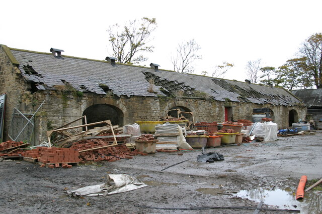
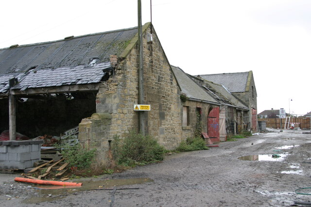
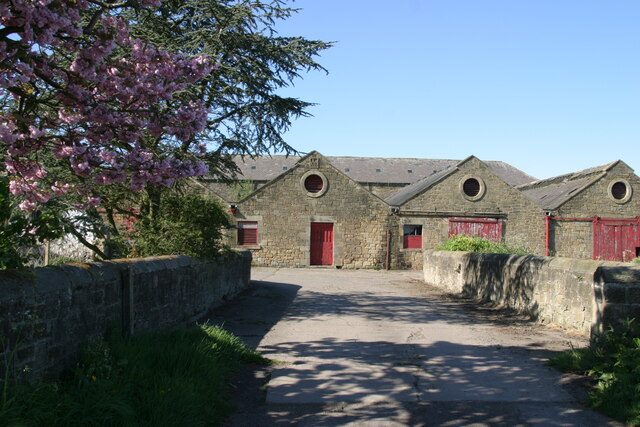
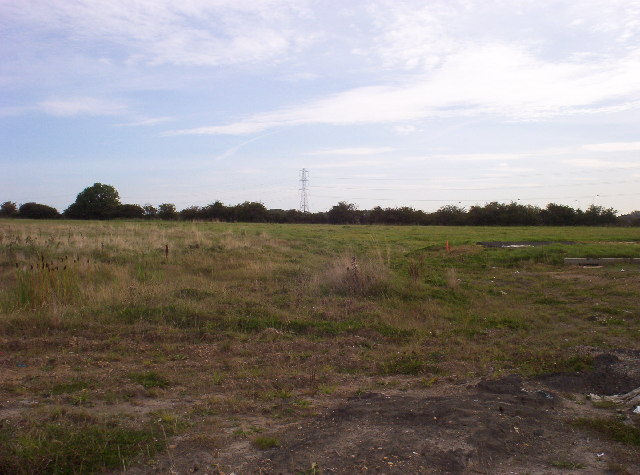
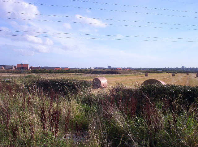
The village is known for its charming and idyllic setting, with rolling hills, lush green fields, and a tranquil atmosphere. It offers a peaceful retreat for those seeking a break from the bustling city life. Brunton Park is surrounded by a patchwork of agricultural land, providing a scenic backdrop for residents and visitors alike.
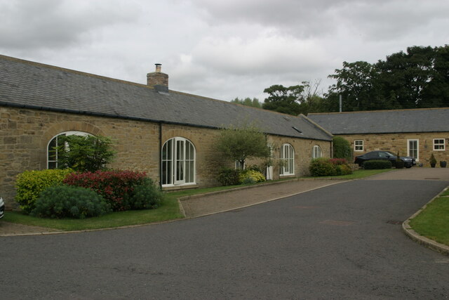
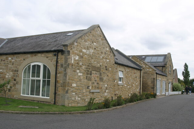
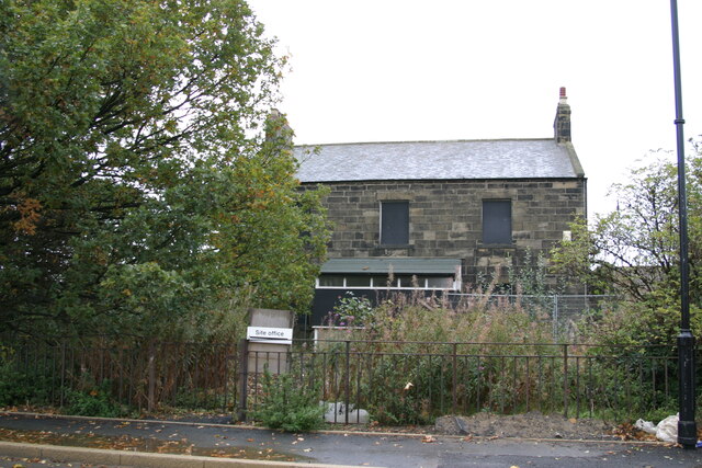
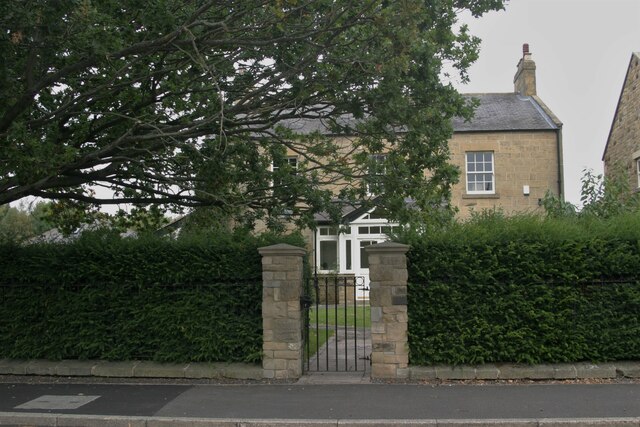
Despite its small size, Brunton Park has a tight-knit community that prides itself on its friendly and welcoming nature. The village is home to a number of traditional stone-built houses, giving it a quaint and timeless feel. The local church, St. Oswald's, is a focal point of the community and adds to the village's historic charm.
Nature enthusiasts will find plenty to explore in the area surrounding Brunton Park. The village is a gateway to the stunning Northumberland National Park, offering opportunities for hiking, cycling, and wildlife spotting. The nearby River Coquet is also a popular spot for fishing and leisurely walks along its banks.
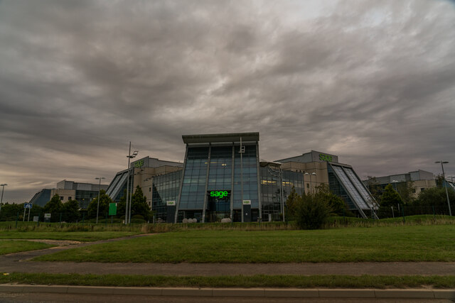
For amenities, the village has a small shop and a village hall, which serves as a hub for local events and activities. More extensive facilities can be found in the nearby town of Morpeth, including supermarkets, restaurants, and leisure facilities.
Overall, Brunton Park is a delightful village that combines natural beauty, a strong sense of community, and easy access to the wonders of Northumberland. It is a place where residents can enjoy a peaceful lifestyle while being surrounded by the stunning landscapes of the region.
If you have any feedback on the listing, please let us know in the comments section below.
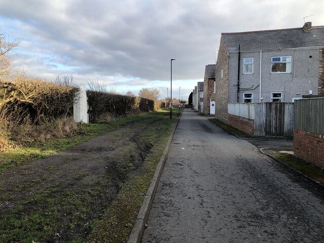
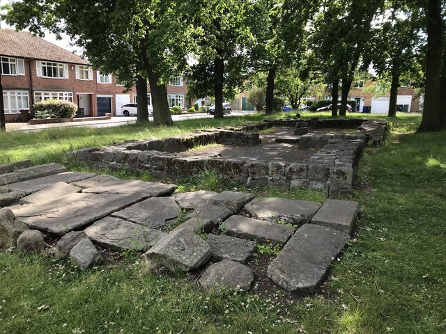
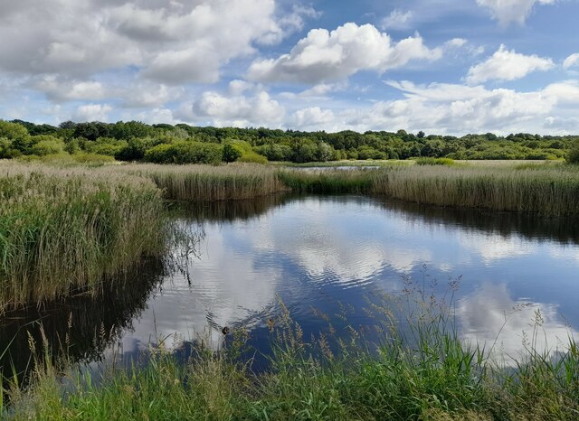
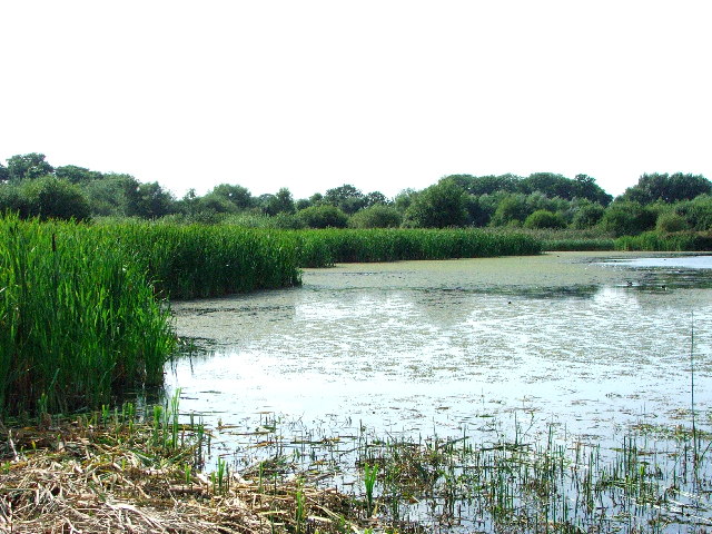
Brunton Park Images
Images are sourced within 2km of 55.026253/-1.633142 or Grid Reference NZ2370. Thanks to Geograph Open Source API. All images are credited.


Brunton Park is located at Grid Ref: NZ2370 (Lat: 55.026253, Lng: -1.633142)
Unitary Authority: Newcastle upon Tyne
Police Authority: Northumbria
What 3 Words
///sheep.retail.tried. Near Hazlerigg, Tyne & Wear
Nearby Locations
Related Wikis
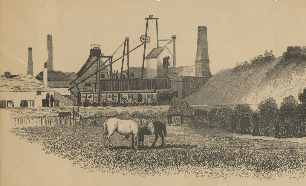
Fawdon Wagonway
The Fawdon Wagonway was from 1818 to 1826 a 1 mile 3 furlongs (2.2 km) long horse-drawn and partially rope-operated industrial railway in Fawdon near Newcastle...

North Gosforth
North Gosforth is a suburb and civil parish in the City of Newcastle upon Tyne in Tyne and Wear, England. It is north of the city centre, and has a population...

Parklands, Newcastle upon Tyne
Parklands is an electoral ward of Newcastle upon Tyne in North East England. It encompasses the northern edge of the suburb of Gosforth, north of the Metro...
McCracken Park
McCracken Park is a multi-purpose stadium in Gosforth, Newcastle upon Tyne, England. It is currently used mostly for rugby union matches and is the home...
Nearby Amenities
Located within 500m of 55.026253,-1.633142Have you been to Brunton Park?
Leave your review of Brunton Park below (or comments, questions and feedback).